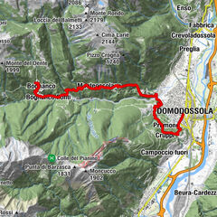
Tour data
5.47km
1,291
- 1,914m
652hm
144hm
02:11h
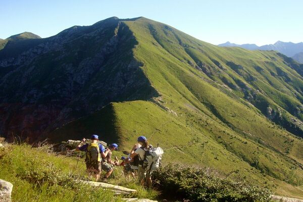
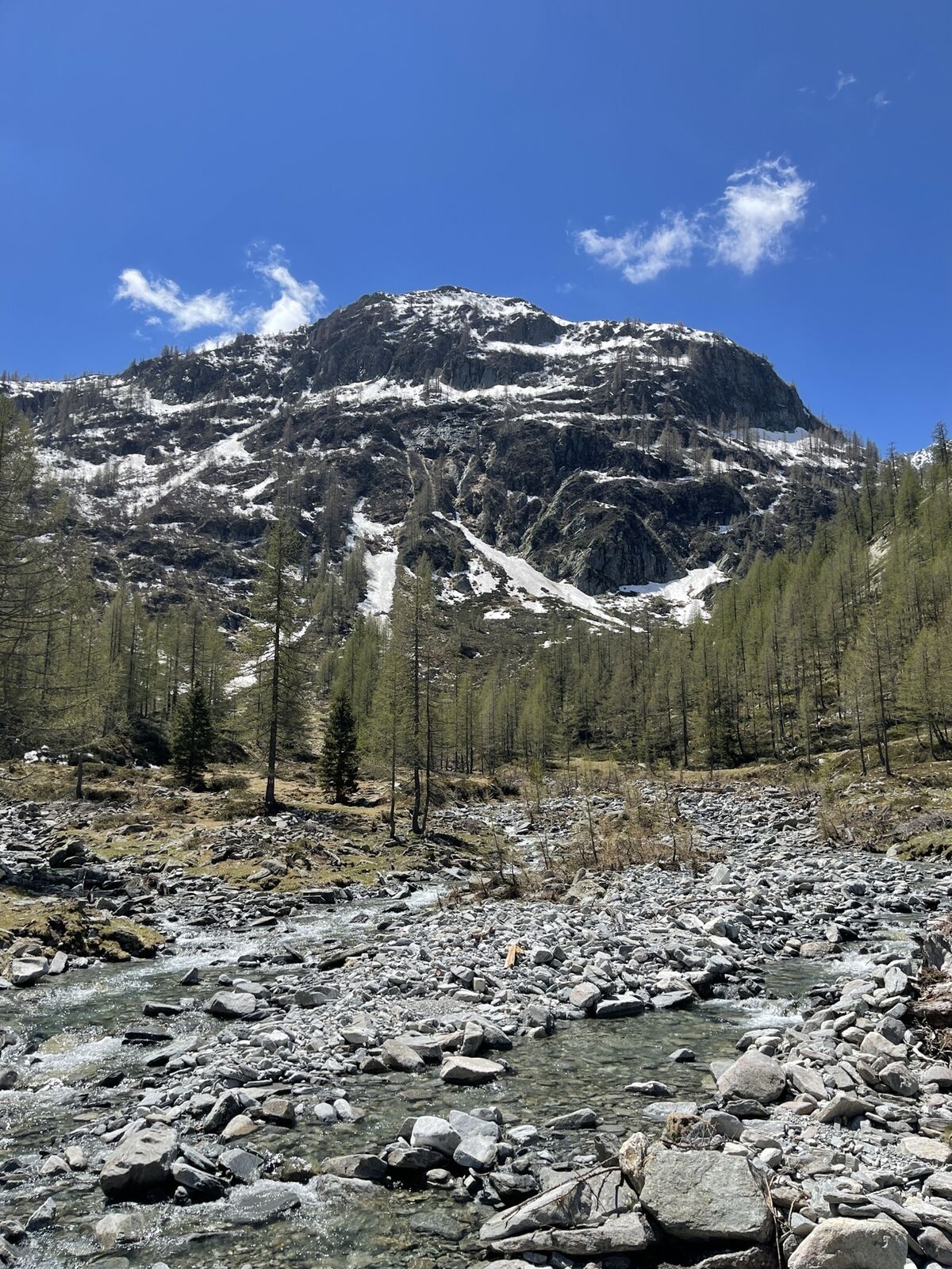
- Brief description
-
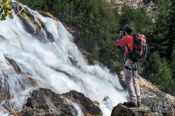
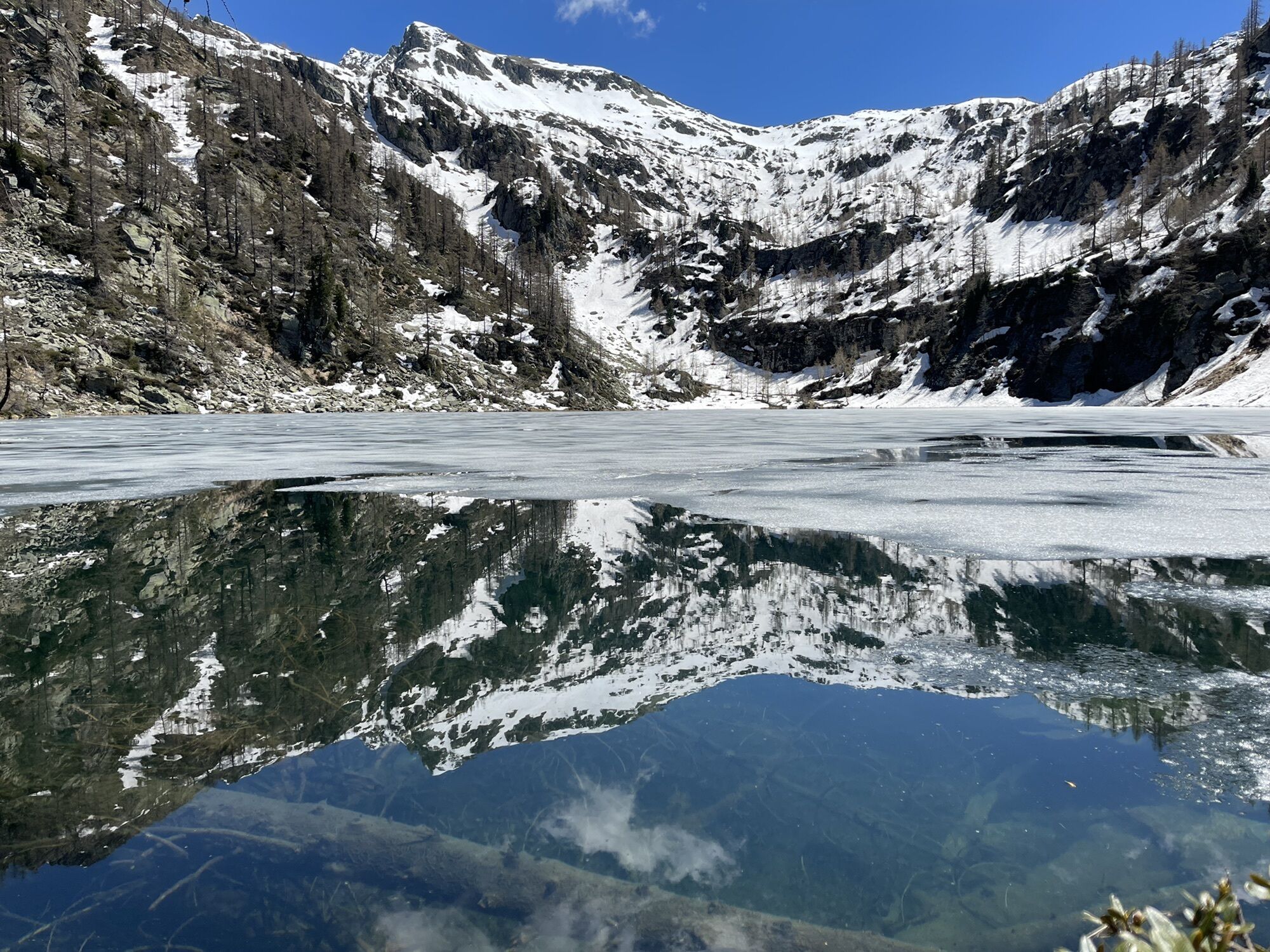
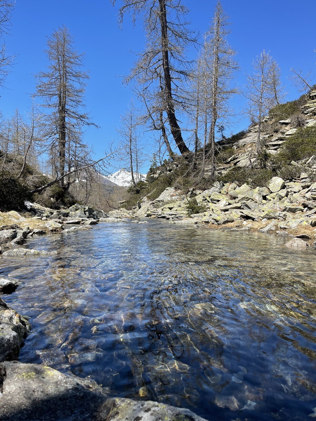
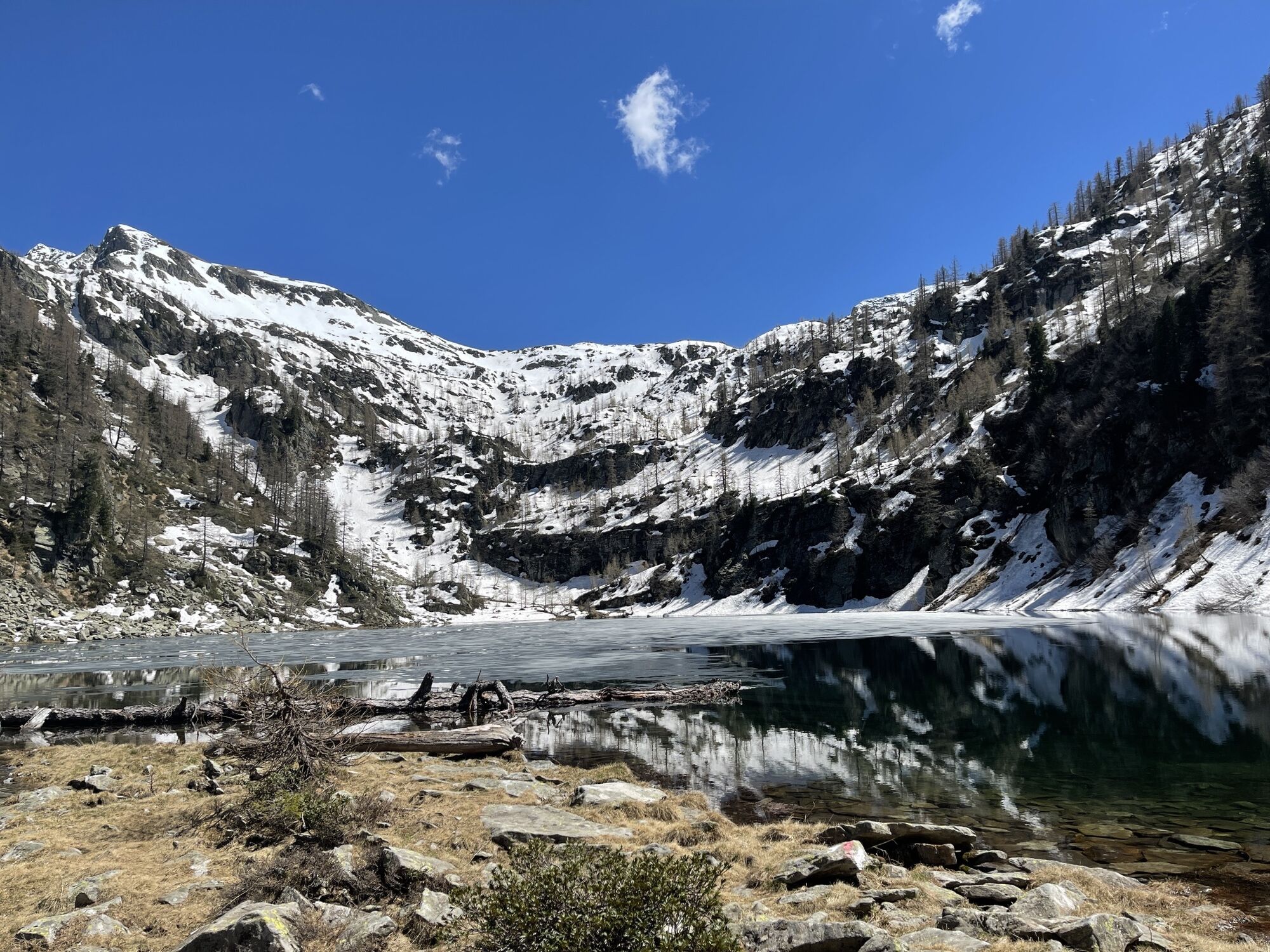
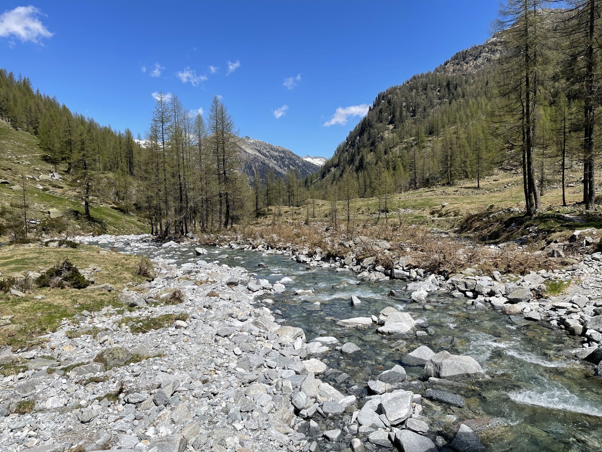
Tolle Wanderung zu einem Bergsee
- Difficulty
-
medium
- Rating
-
- Route
-
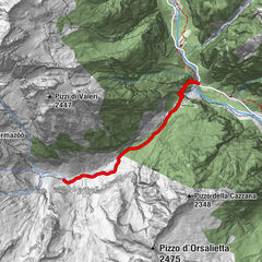
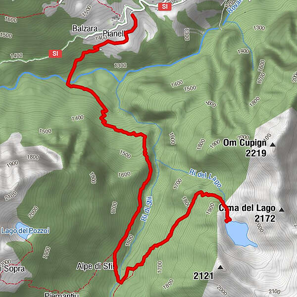
Balzara0.2 kmPianelli di Sotto0.3 kmAlpe di Sfii (1,666 m)3.6 km
- Highest point
- 1,914 m
GPS Downloads


Other tours in the regions