
- Brief description
-
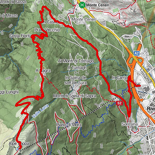
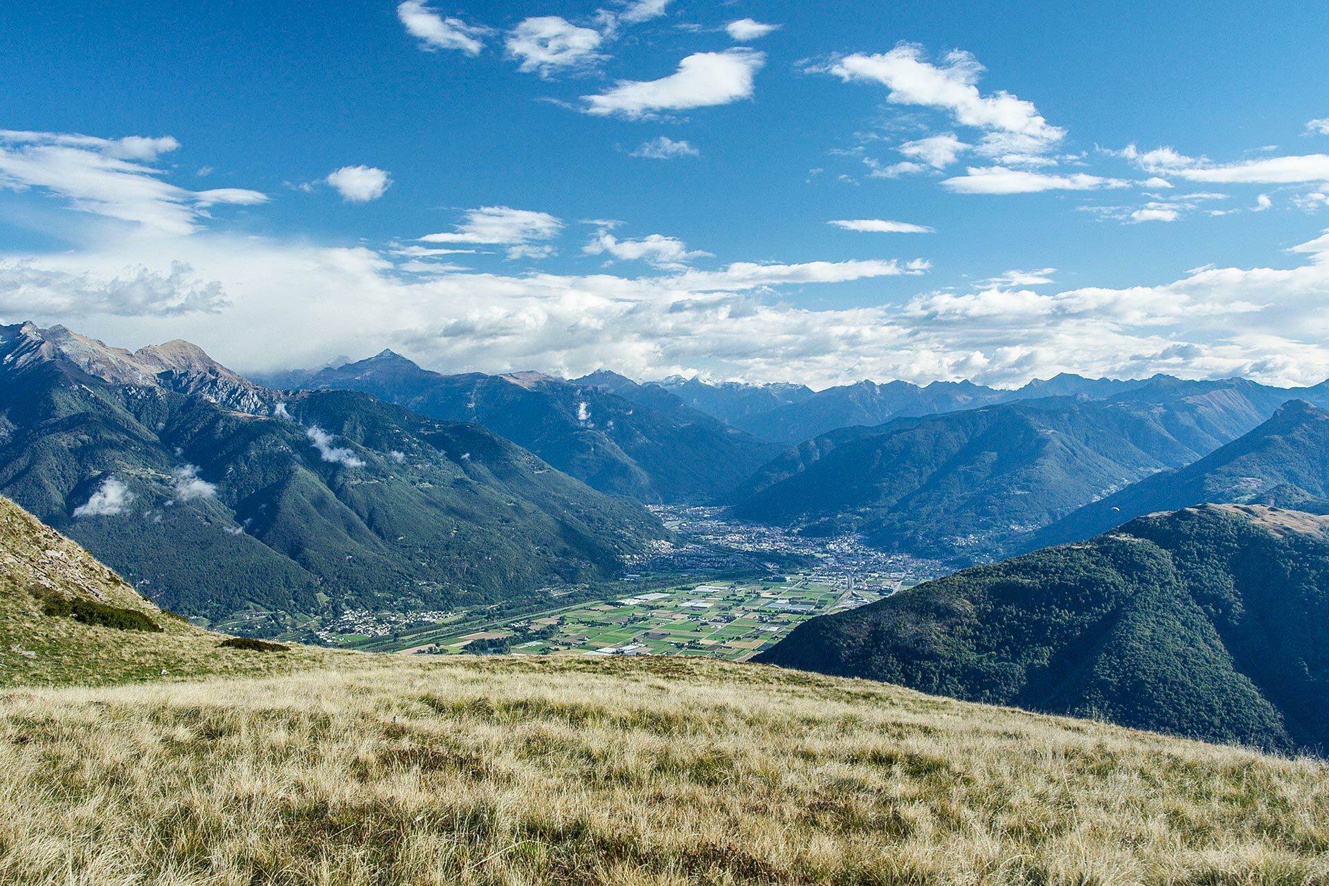
A very attractive and less frequented alternative route to reach Rivera along a path that winds largely through the forest.
- Difficulty
-
difficult
- Rating
-
- Starting point
-
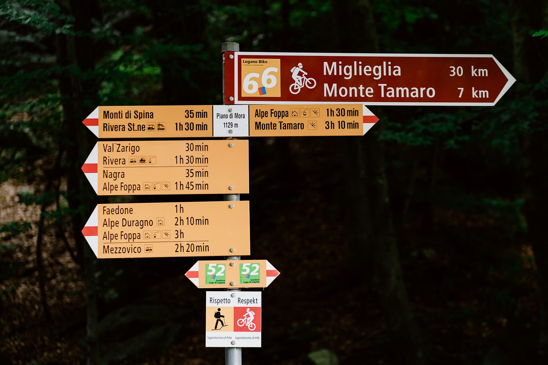
Alpe Foppa
- Route
-
Alpe Foppa0.0 kmRistorante Alpe Foppa0.0 kmOratorio di Santa Maria degli Angeli0.0 kmA Nagra2.4 kmPrato Vecchio4.4 kmSoresina7.8 kmRivera (554 m)8.0 km
- Best season
-
JanFebMarAprMayJunJulAugSepOctNovDec
- Description
-
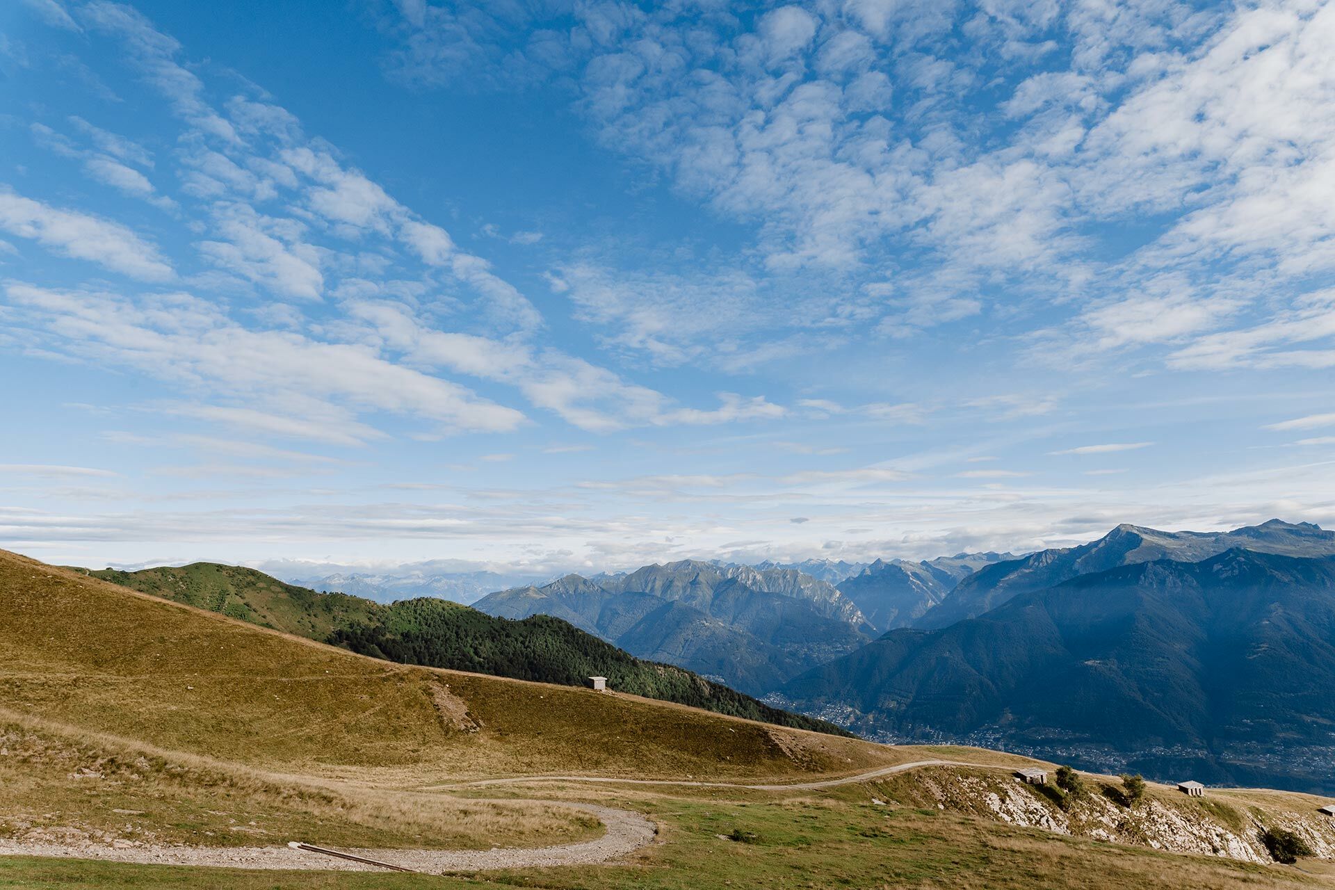
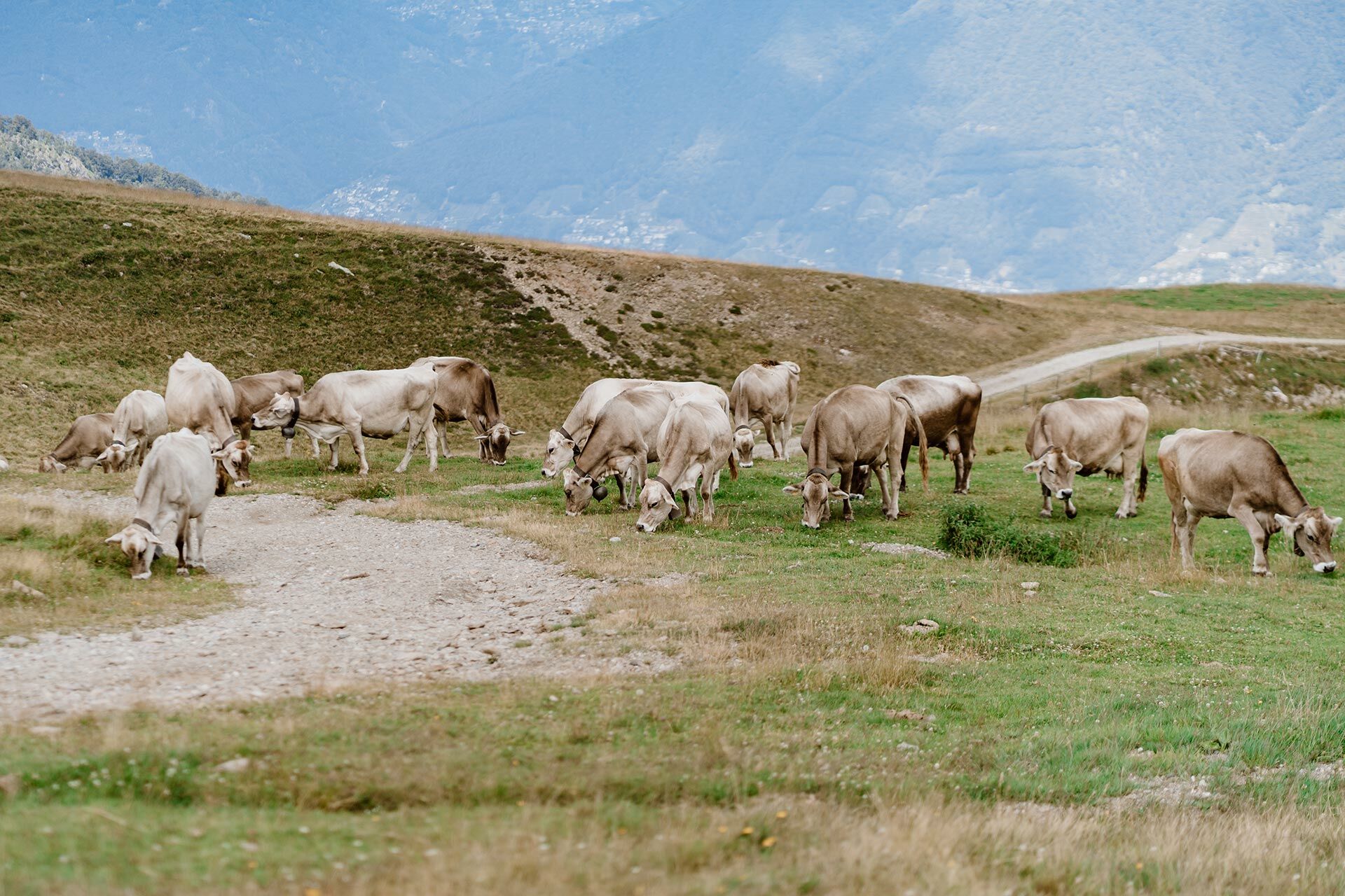
It initially crosses the Alpe Foppa pasture and then descends to the Trodo Valley coast, along a historic path through the beech forest and characterised by mule tracks. In the past, the latter was used by the army and the villagers to load the Alpe Foppa, which is still active and produces various typical products, such as the award-winning Alp cheese that can be eaten and purchased at the Alpe Foppa Restaurant. About halfway along the route you reach Nágra, where you can still see the fort with the same name, part of the Monte Ceneri Fortification built during the First World War. This fort, strategically located 400 m above Fort Spina, was intended to protect the coastline down from Monte Tamaro, between the Val Trodo and the Monti di Spina. From Nágra the trail continues towards Monte Ceneri. In this area, you cross a recently redeveloped chestnut forest and then continue along a level path to Soresina.
- Highest point
- 1,526 m
- Endpoint
-
Rivera
- Height profile
-
 © outdooractive.com
-

-
AuthorThe tour Alpe Foppa – Nágra – Rivera is used by outdooractive.com provided.


General info
-
Lago Maggiore / Lombardei
745
-
Gambarogno Riviera
592
-
Monte Tamaro
261