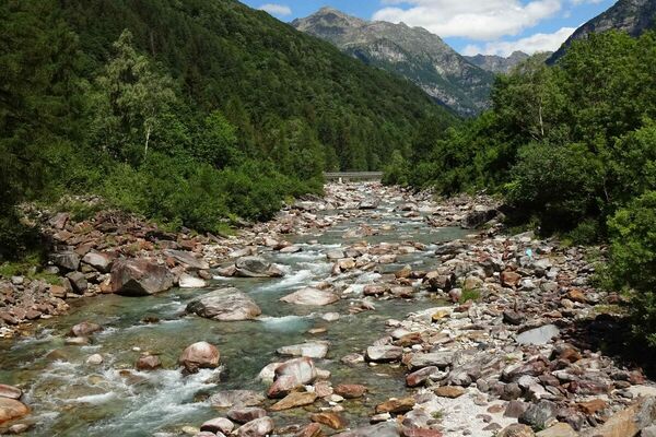
© Lugano Region - All rights reserved – Monte Tamaro
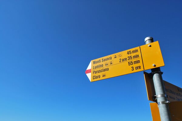
© Lugano Region - All rights reserved – Monte Tamaro

© Lugano Region - All rights reserved – Monte Tamaro

© Lugano Region - All rights reserved – Monte Tamaro


- Brief description
-
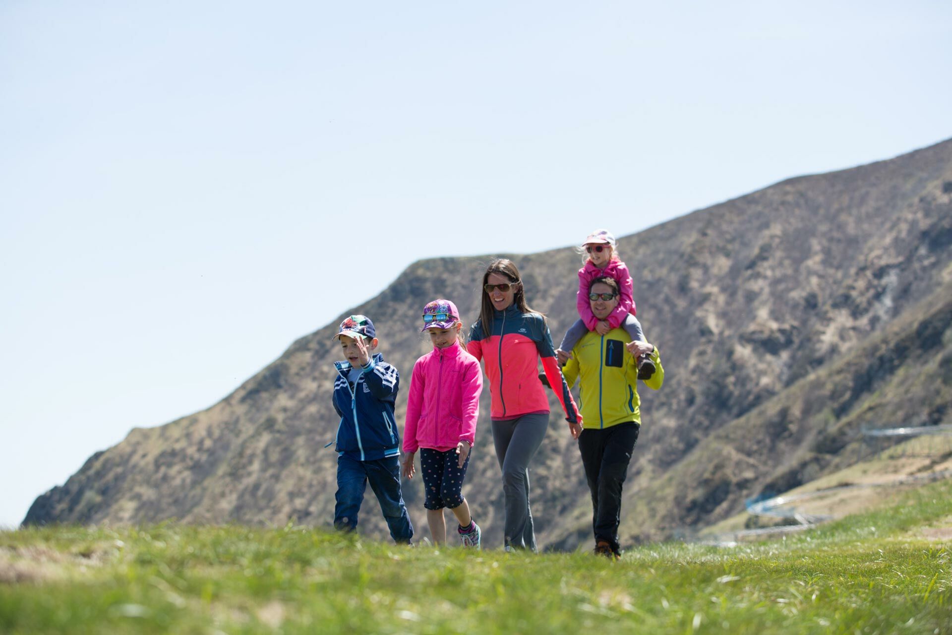
The classic route, also suitable for pushchairs.
- Difficulty
-
difficult
- Rating
-
- Starting point
-
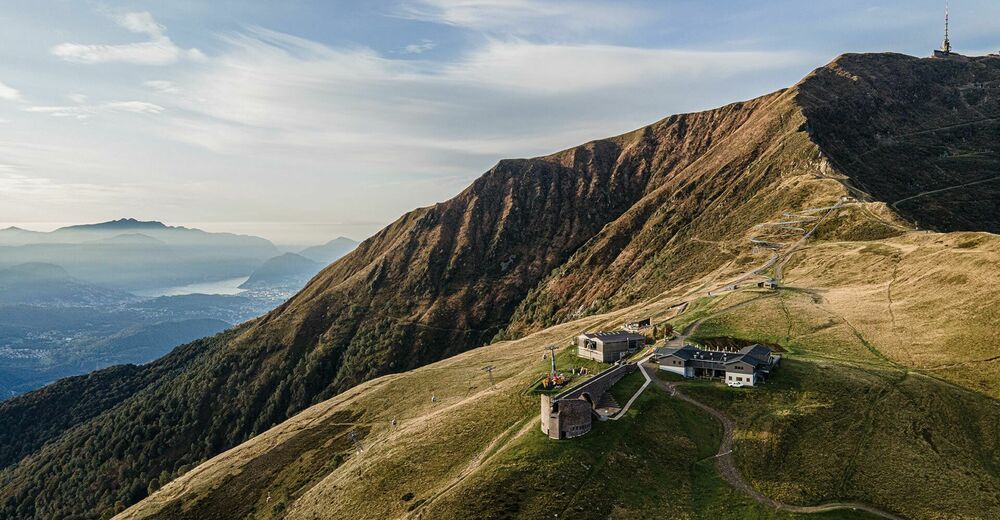
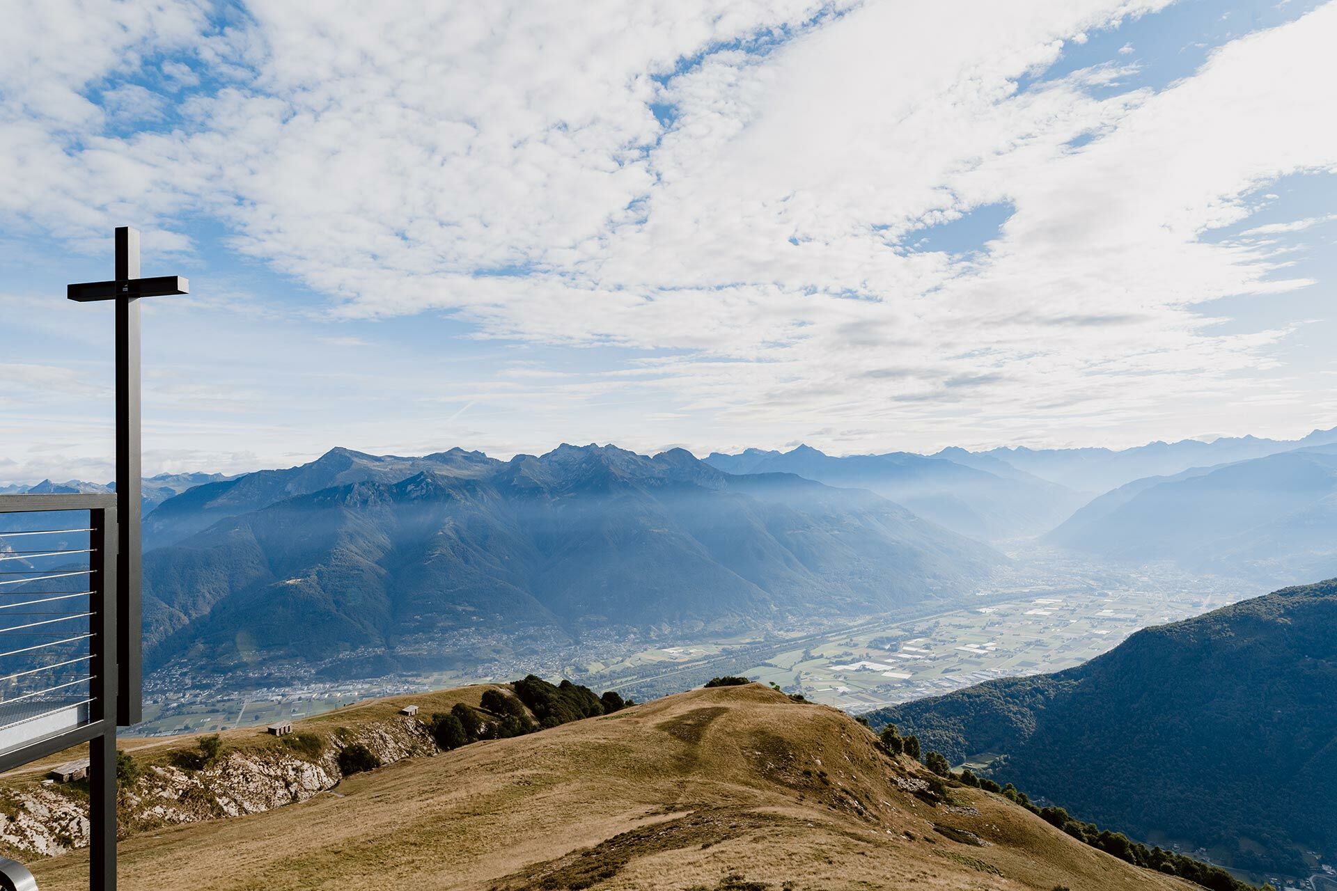
Alpe Foppa
- Route
-
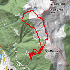
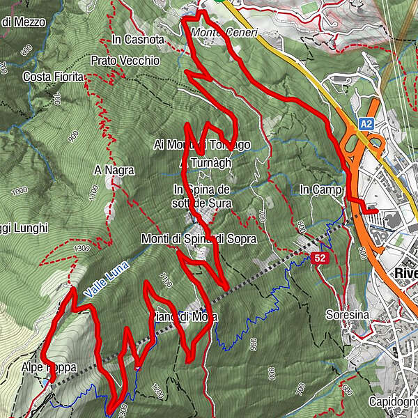
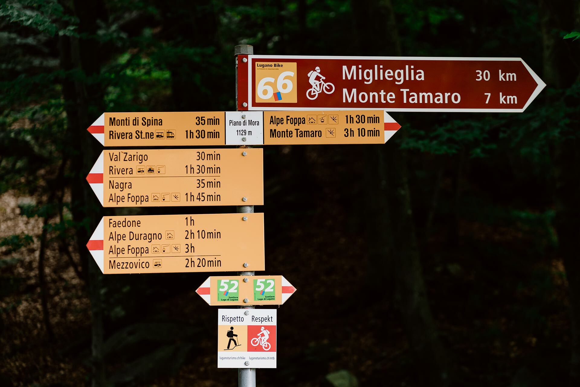
Alpe Foppa0.0 kmRistorante Alpe Foppa0.0 kmOratorio di Santa Maria degli Angeli0.0 kmPiano di Mora3.5 kmIn Spina de sott de Sura5.4 kmAi Monti di Tornago6.2 kmGrotto al Ceneri7.9 kmRistorante delle Alpi8.2 kmRivera (554 m)10.0 km
- Best season
-
JanFebMarAprMayJunJulAugSepOctNovDec
- Description
-
The route, which is rather shady on the lower section, runs entirely along a forestry road, which is partly paved and partly gravel (follows Mountain Bike route no. 66, in reverse). This variant is ideal for those who want to avoid steep and uneven trails and it can also be walked with pushchairs suitable for dirt and gravel.Departing from Alpe Foppa, you follow the directions for Piano di Mora and, after about an hour, you reach the intermediate station at 1,127m a.s.l. The well-stocked snack bar of the adventure park Monte Tamaro is the ideal place for a little break. You can then continue for about an hour and a half on a forestry road until Rivera.
For those who prefer to take a more direct and challenging path, we recommend this one.
- Directions
-
Attention: the official signs indicate the most direct path, which deviates from the forestry road in several places. When in doubt, we recommend you consult the map (which can be printed from our website or obtained from our sales points and stations) and follow the signs for Mountain Bike route no. 66, in the opposite direction.
- Highest point
- 1,526 m
- Endpoint
-
Rivera
- Height profile
-
 © outdooractive.com

-

-
AuthorThe tour Alpe Foppa – Piano di Mora – Rivera (via forestry road) is used by outdooractive.com provided.
GPS Downloads


General info
Refreshment stop
Other tours in the regions
-
Lago Maggiore / Lombardei
744
-
Gambarogno Riviera
591
-
Monte Tamaro
261