
- Brief description
-
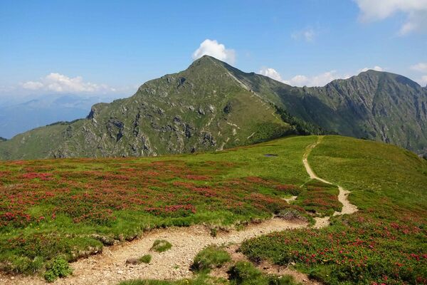
Step by step to the top of Monte Tamaro and its unique panorama view over Ticino.
- Difficulty
-
medium
- Rating
-
- Starting point
-
Alpe Foppa
- Route
-
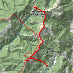
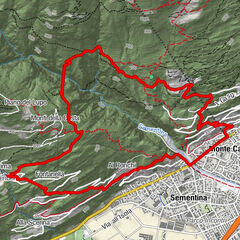
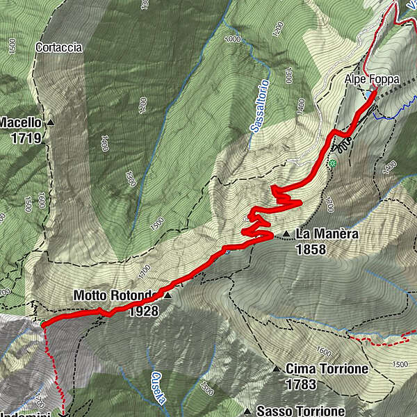
Ristorante Alpe FoppaAlpe FoppaLa Manèra (1,858 m)2.2 kmCapanna Tamaro2.5 kmMotto Rotondo (1,928 m)3.0 kmMonte Tamaro (1,961 m)3.9 kmCapanna Tamaro5.3 kmLa Manèra (1,858 m)5.6 kmRistorante Alpe Foppa7.8 kmAlpe Foppa7.8 km
- Best season
-
JanFebMarAprMayJunJulAugSepOctNovDec
- Description
-
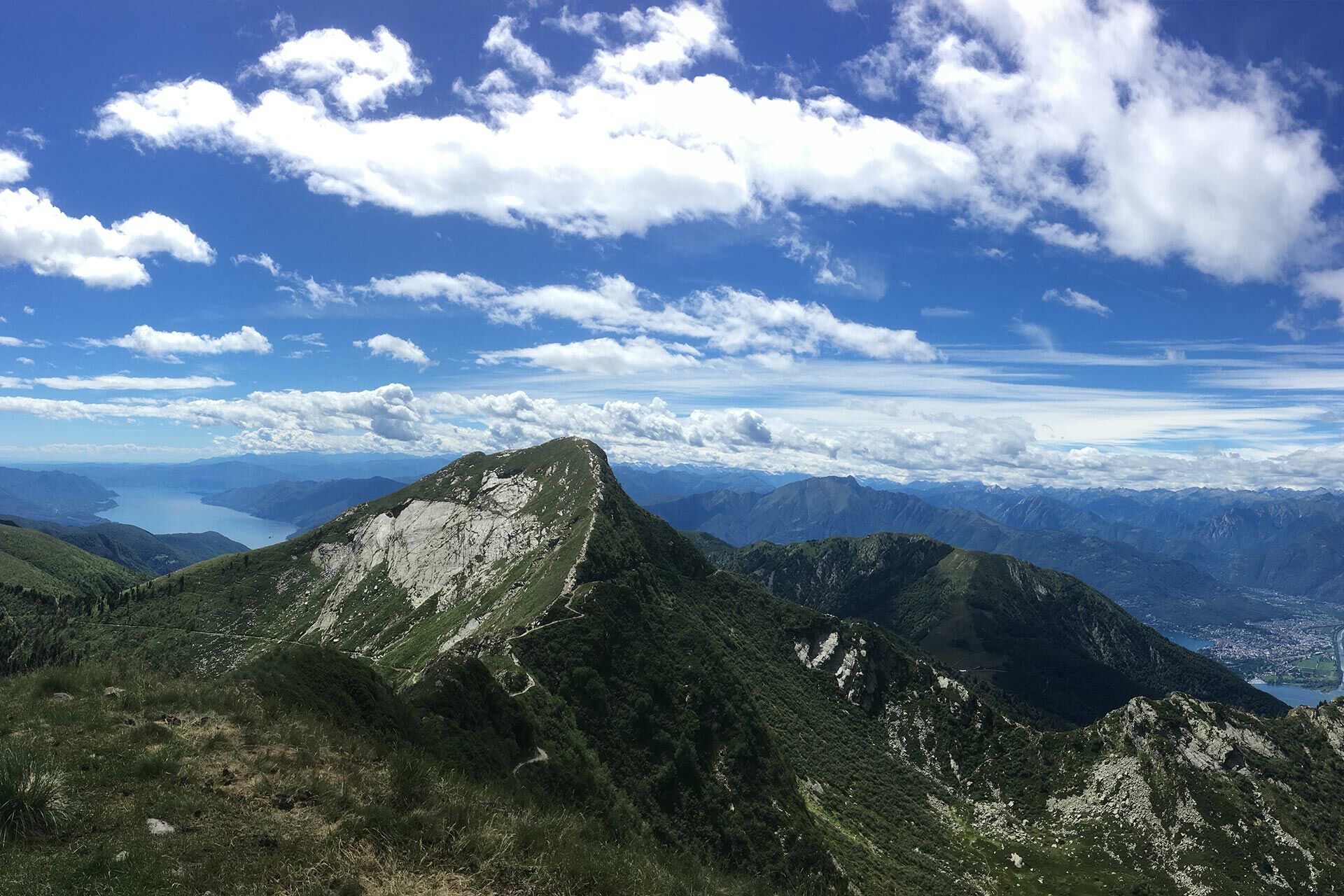
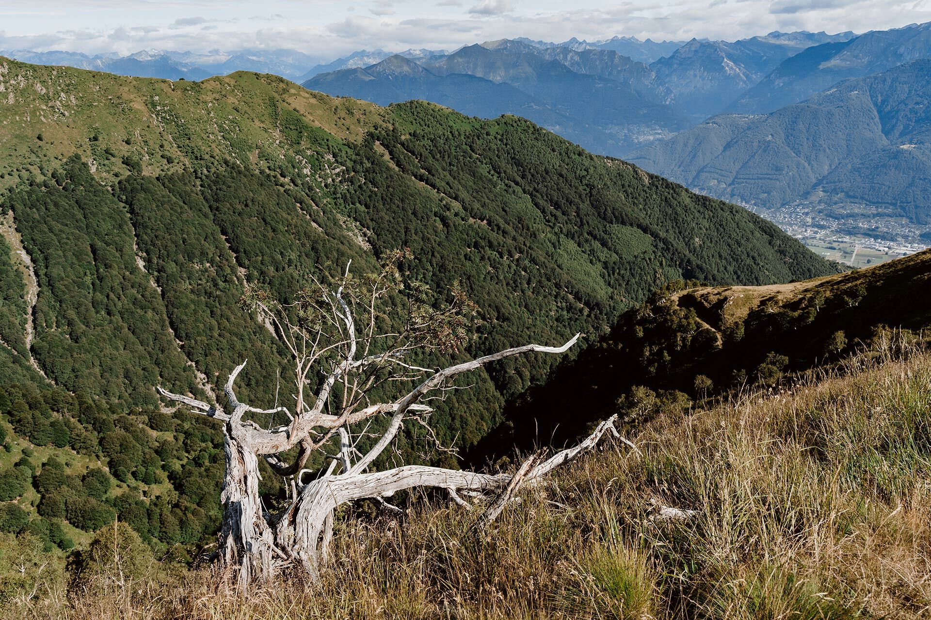
Starting from Alpe Foppa you follow the gravel road until the Capanna Tamaro, where you can enjoy a well-deserved break. Next, walk along a panoramic path “stolen” from the mountain to the foot of the summit. From there, the trail climbs along the ridge to the summit of Monte Tamaro at an altitude of 1,962 m, which is reached after a total of approximately 1 h 40 min. Once at the top, the WOW effect is guaranteed: 360° panoramic sight of the lakes, valleys, towns, and mountains of the canton. The view stretches from the Po Valley to the 4,000 m Alp peaks, such as Monte Rosa and Matterhorn clearly visible. A must for hikers!The descent follows the same route as before, but with a new panoramic view of Bellinzona and its valleys. For those who do not wish to descend the same route, we recommend the Tour of Monte Tamaro.
- Highest point
- 1,956 m
- Endpoint
-
Alpe Foppa
- Height profile
-
 © outdooractive.com


-

-
AuthorThe tour Tamaro summit is used by outdooractive.com provided.


General info
-
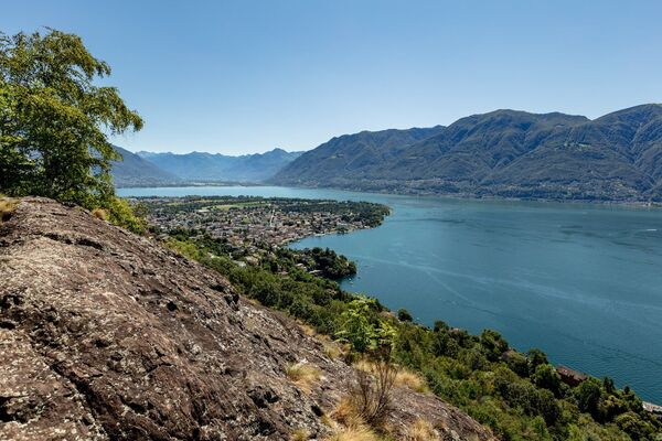
Lago Maggiore / Lombardei
745
-
Gambarogno Riviera
592
-
Monte Tamaro
261