Via Alta Vallemaggia - Stage 2: Capanna Alpe Nimi-Rifugio Alpe Masnee


- Brief description
-
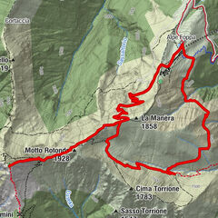
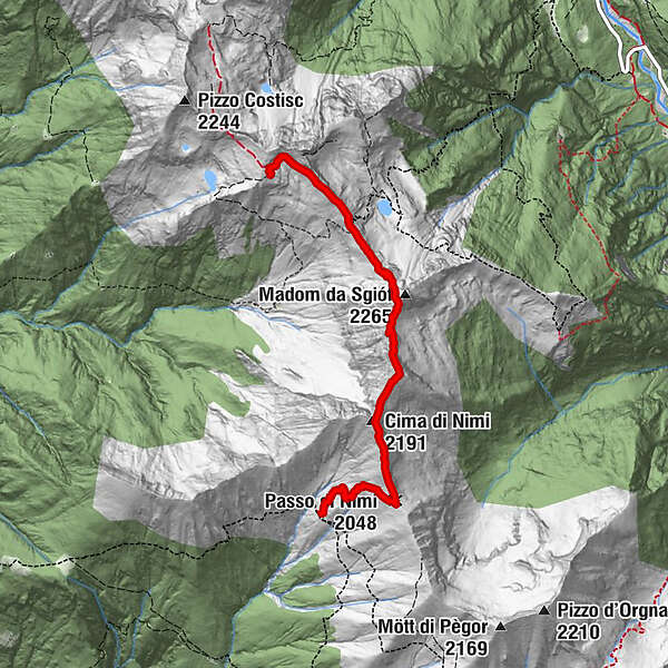
The second stage of the Via Alta Vallemaggia goes from Alpe Nimi mountain hut (1718 m/a/s/l) to Masnee alp (2063 m/a/s/l) and takes 3-and-a-half to 4 hours. Depending on your physical fitness, you may be able to go further and hike on to Alpe Spluga mountain hut (1838 m/a/s/l), the destination of the third stage.
- Difficulty
-
difficult
- Rating
-
- Starting point
-
Capanna Alpe Nimi
- Route
-
L Alp da Ními0.0 kmPasso di Nimi (2,048 m)0.9 kmCima di Nimi (2,191 m)1.6 kmMadone di Giove (2,265 m)2.9 kmPasso Deva3.6 kmAl Masnèe4.6 km
- Best season
-
JanFebMarAprMayJunJulAugSepOctNovDec
- Description
-
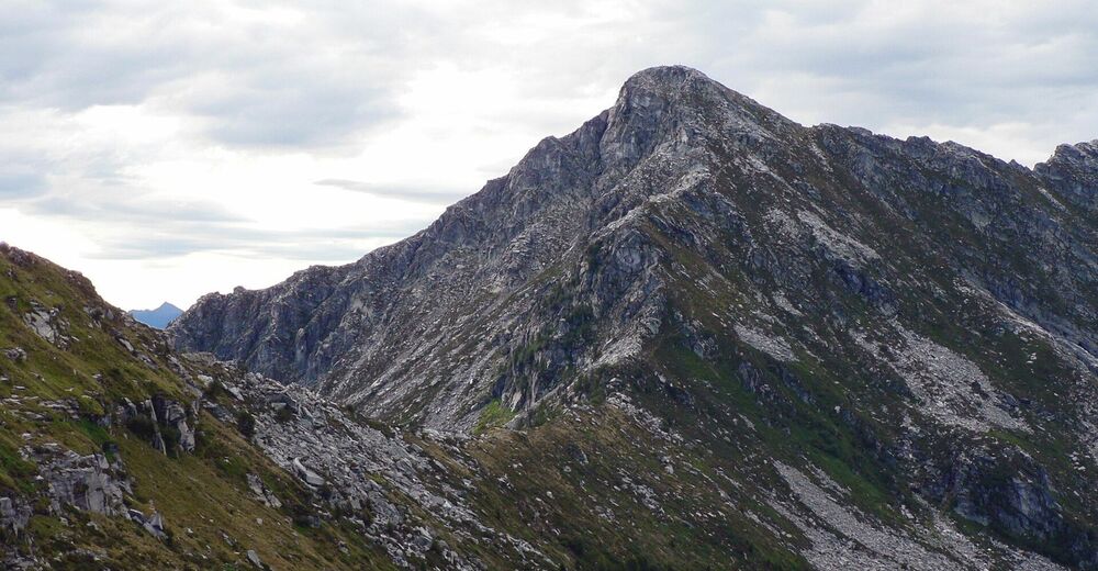
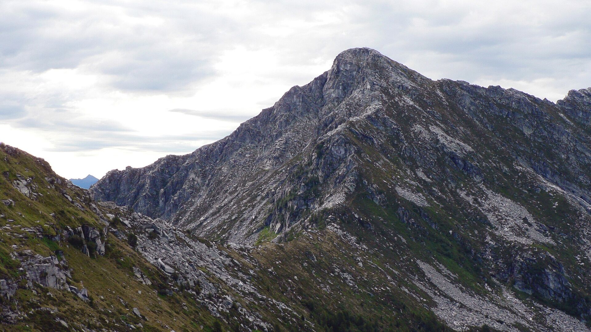
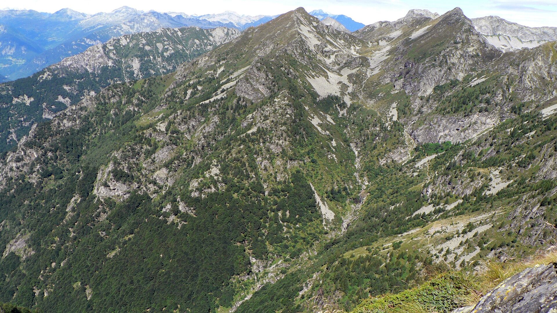
We say our goodbyes to Nimi and we’re off again, back to the ridges and over the first really imposing rampart of our journey, the rocky Madom da Sgiof. The edge of the abyss and a few moments of easy climbing put us to the test, but a few metal staples help us get through the most demanding spots.
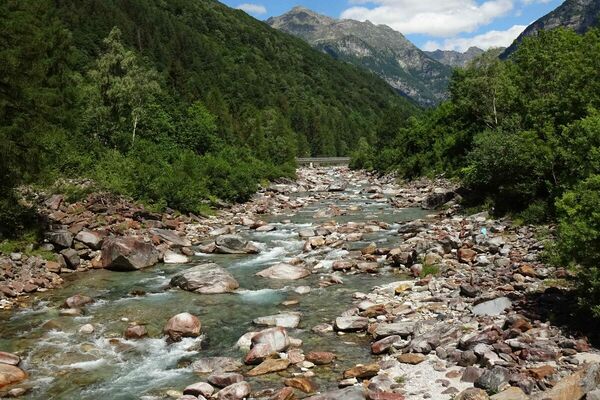
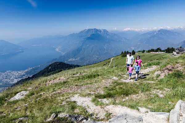
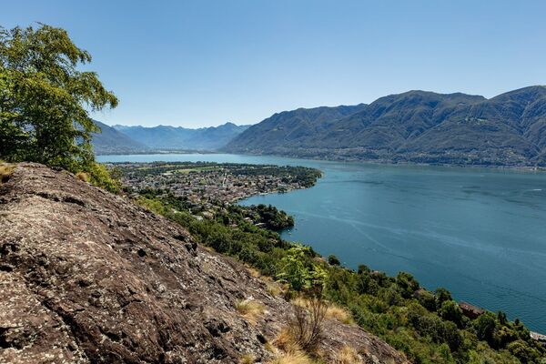
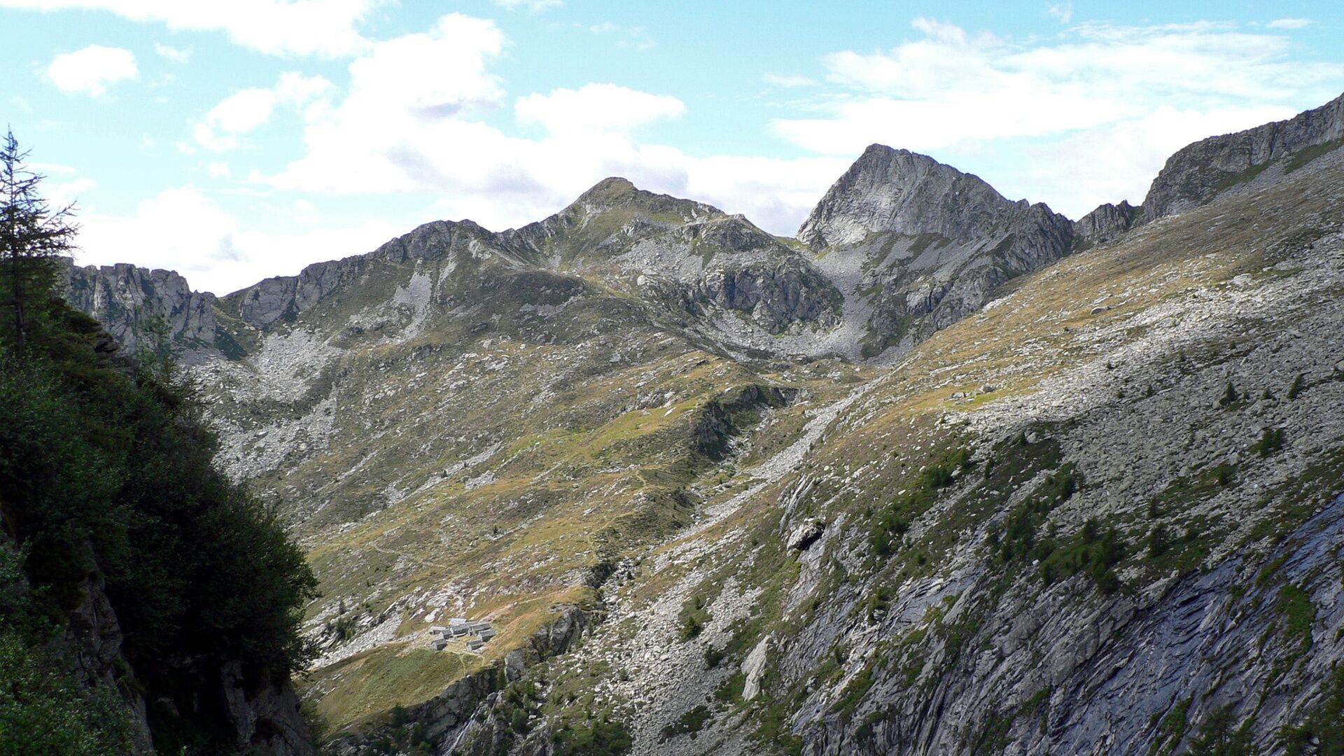
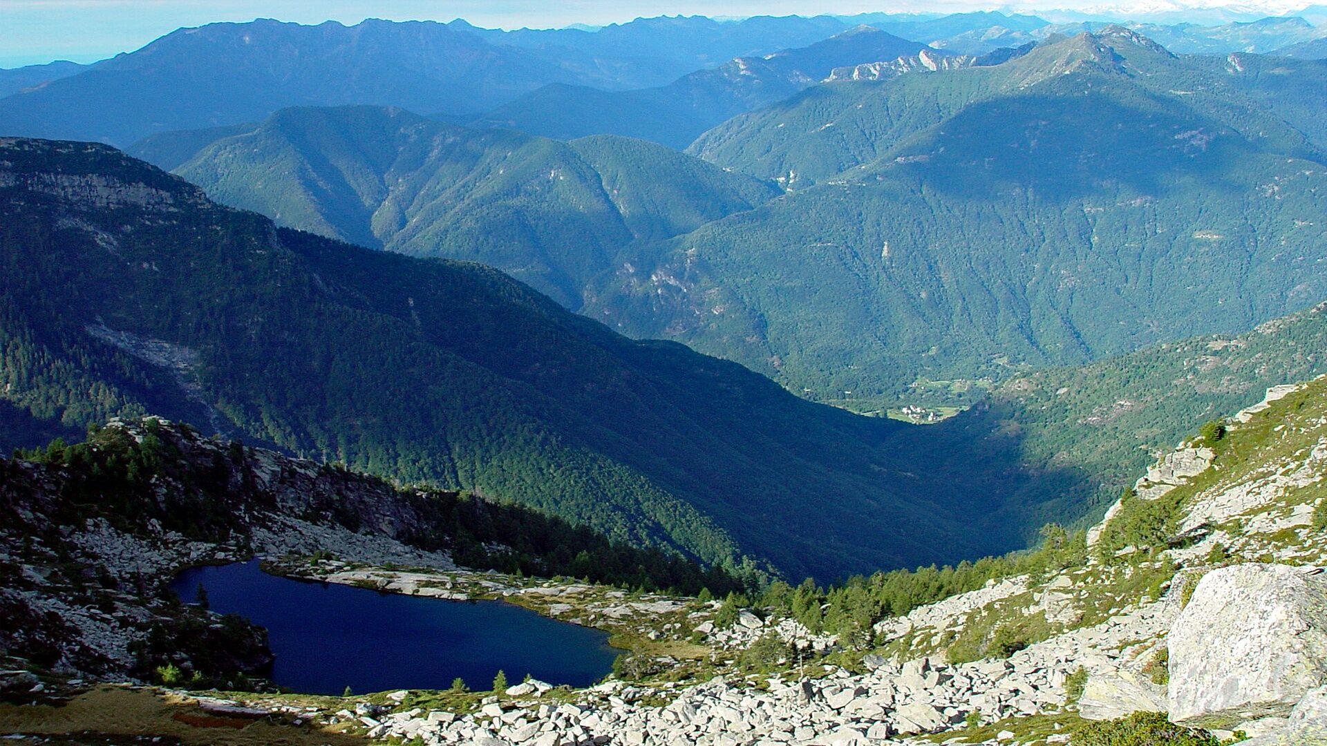
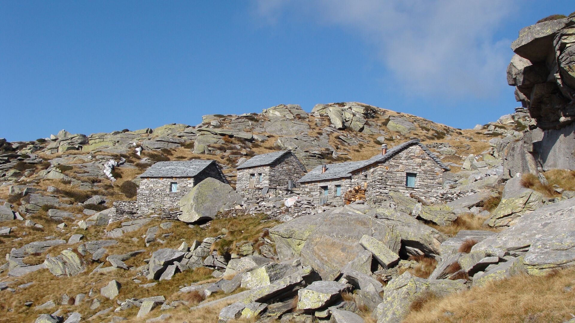
Then comes the Passo Deva, a convenient pass between Maggia and Brione and an ideal spot for stopping to admire the view. This is just a short stage and time is not pressing. To the right, beyond Verzasca, the incredible fin of the Poncione d’Alnasca stands out, while to the left our gaze is lost amidst the numerous ravines of the Salto valley. Finally we come to the Alpe Masnee, an eagle’s nest created out of dilapidated buildings. The restoration of this mountain pasture is a wonderful example of safeguarding and upgrading, a symbiosis of sustainable ecotourism and architectural heritage.
Source: Associazione Via Alta Vallemaggia
- Directions
-
Capanna Alpe Nimi-Passo di Nimi-Passo Deva-Rifugio Alpe Masnee
- Highest point
- 2,238 m
- Endpoint
-
Rifugio Alpe Masnee
- Height profile
-
 © outdooractive.com
 - Equipment
-
Good hiking boots
Suitable clothing
Sunglasses and sunscreen
Map with a scale of 1:25,000, altimeter, compass, and, if possible, GPS
Travel pharmacy and emergency thermal blanket
Sufficient food and drink
Identity card and cash (francs and euros) - Safety instructions
-
The Via Alta Vallemaggia alternates between mountain trails (T3) and Alpine routes (T4-T5–) and includes short exposed stretches (risk of falling) and climbing sections. The trickier sections are often equipped with chains or staples.
Some huts open as early as June, when the connecting sections are usually still covered in snow. Generally, the best season for trekking is between July and September/October. However, even in the height of summer, you are advised to contact the guardians to check the state of the route. Overnight stays must be booked in advance in order to avoid unpleasant surprises and find oneself without accommodation.
The following are therefore required:
Good experience in the alpine environment Good physical condition Detailed planning (current conditions, weather forecast etc.) Sure-footedness off the marked trails and a head for heightsNot to be underestimated:
High elevation Sudden weather changes Presence of snow at the beginning of the season Trekking time (particularly when hiking in large groups) Often no mobile coverage Lack of drinking water sources along some sectionsSwiss REGA air ambulance service: 1414
Generaly emergencies (international): 112
When you call 112, your call is automatically transferred to the relevant emergency unit (ambulance, police and fire brigade). 112 can be called via the GSM network even if your SIM card or mobile phone are blocked. In virtually all countries, 112 works on a GSM network. Outside Switzerland, it also works without a SIM card.
In an emergency:
Keep calm Protect injured persons and people in difficulty from further danger, the cold and bad weather Lend first aid Call for help and start rescue operations; never leave injured persons alone Think about your own safety, too - Tips
-
BOOK ONLINE
Check the availability of beds in the huts of Via Alta Vallemaggia indicating the day of departure, the number of participants and the direction chosen.
Reservations must be made individually for each hut. Clicking on the number of available beds will open the reservation page for the relevant hut.
https://www.viaaltavallemaggia.ch/en/check-availability
https://www.viaaltavallemaggia.ch/en/lodges


-

-
AuthorThe tour Via Alta Vallemaggia - Stage 2: Capanna Alpe Nimi-Rifugio Alpe Masnee is used by outdooractive.com provided.


General info
-
Lago Maggiore / Lombardei
745
-
Vallemaggia
501
-
Avegno Gordevio
207