
- Brief description
-
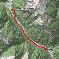
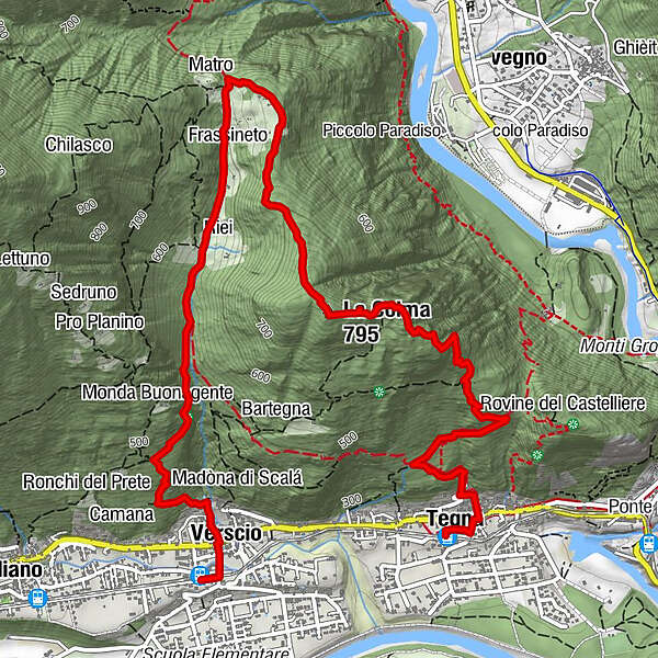
Scenic hike between the Centovalli and the Vallemaggia with culturally interesting stops (red-white).
- Difficulty
-
medium
- Rating
-
- Starting point
-
Tegna
- Route
-
Tegna (258 m)Chiesa di Santa Maria Assunta0.1 kmMonte Forcola1.1 kmLa Colma (795 m)2.6 kmStreccia3.8 kmFrassineto4.1 kmGrotto Da Rosy, Bettola Montana4.2 kmVerscio (275 m)6.1 kmVerscio (277 m)6.3 km
- Best season
-
JanFebMarAprMayJunJulAugSepOctNovDec
- Description
-
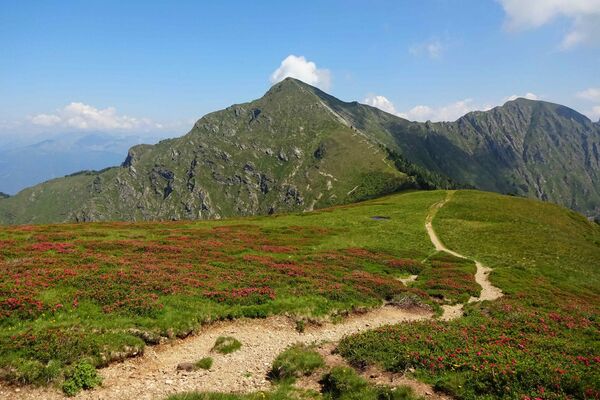
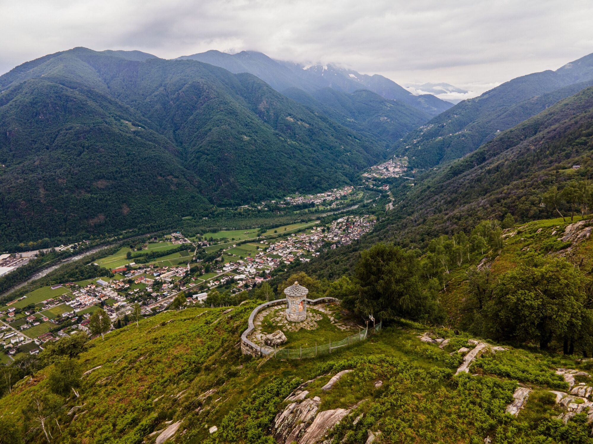
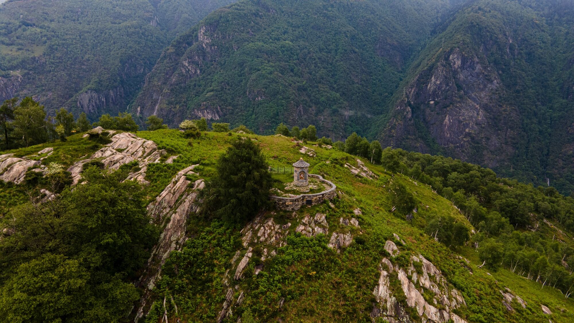
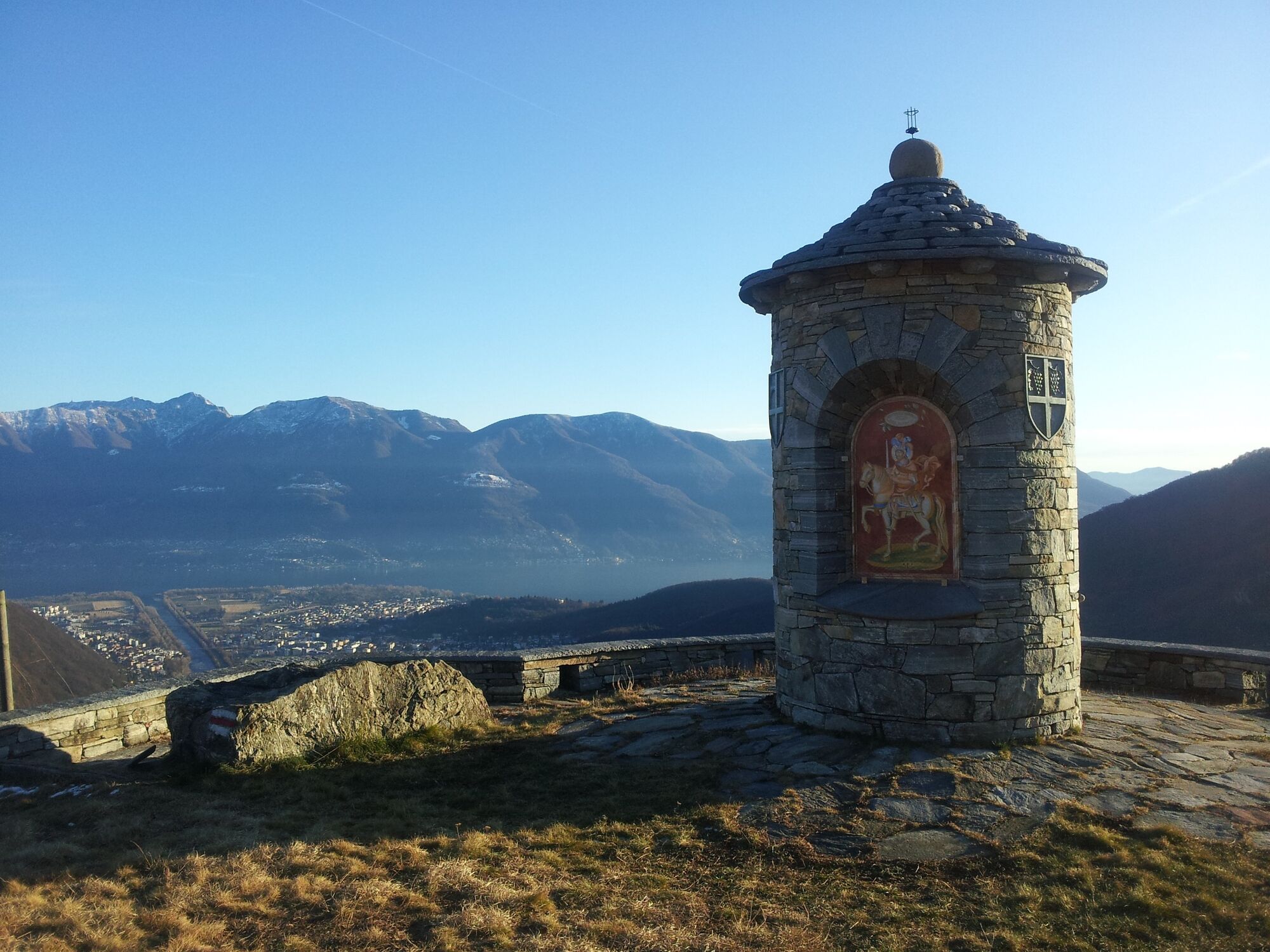
This wonderful hike starts in Tegna and is reachable by car or the Centovalli Railway (Locarno-Domodossola). From Tegna, the path leads up to the Colma viewpoint, which is relatively steep but easy to follow. At Forcola, it is worth taking a short detour to the nearby "Castelliere" (prehistoric ruins), which were restored in 2018. At Coma, a terrace and a small chapel (built in 2000) invite to take a break with a beautiful view over the Centovalli and as far as Lake Maggiore. In the sparse forest, the trail descends slightly to Streccia, with a view of the Vallemaggia. Like in a fairy tale the tour continues on an old mule trail over a little stone bridge through the wild wooded valley along the "Ri da Riei" stream to Riei. The further descent to Verscio is a bit of a hike. The Centovalli Railway runs from Verscio.
- Directions
-
Tegna-Vigneta-Rompidèe-Riei Canvetti-Riei-Frassineto-Streccia-Molinera-Costa di sotto-Colma-Comoi-Monte Forcola-Chiosso di sopra-Tegna
- Highest point
- 784 m
- Endpoint
-
Verscio
- Height profile
-
 © outdooractive.com
 - Equipment
-
Hiking daypack (approx. 20 liters) with rain cover
Comfortable and sturdy footwear
Adequate and durable outdoor clothing in multiple layers
Telescope sticks if necessary,
Sun and rain protection
Snacks and drinking water
First aid kit
Penknife
Mobile phone, headlight if necessary
Maps
- Public transportation

- Author
-
The tour Tegna-Colma-Streccia-Verscio is used by outdooractive.com provided.