
- Brief description
-
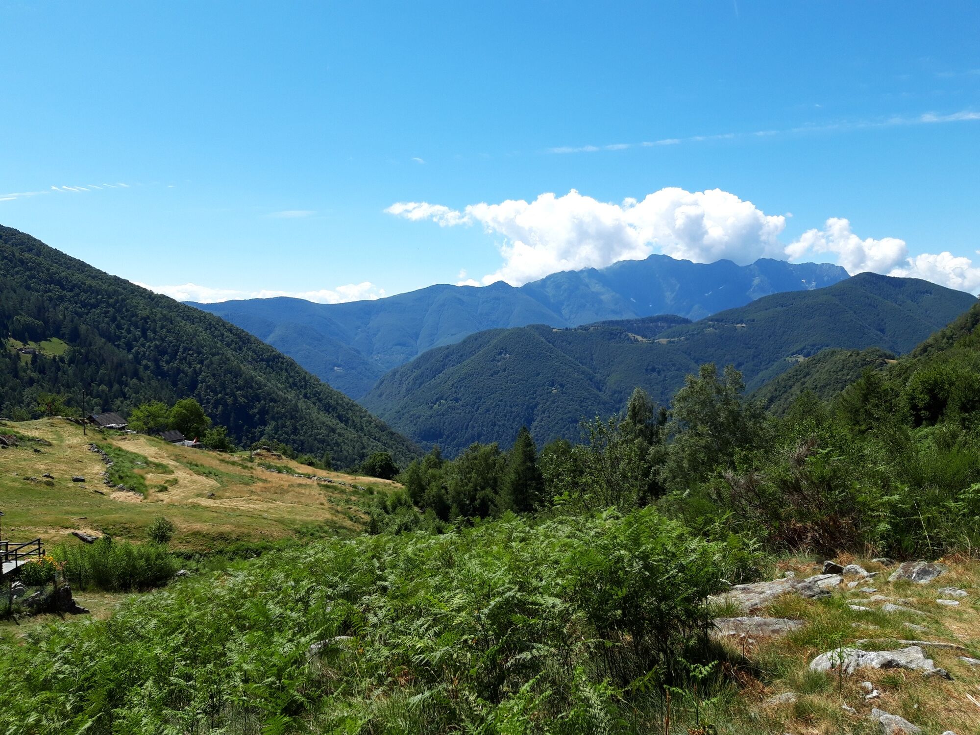
Red and white hike in the steep nature of the Onsernone Valley. A beautiful tour with panoramas.
- Difficulty
-
medium
- Rating
-
- Route
-
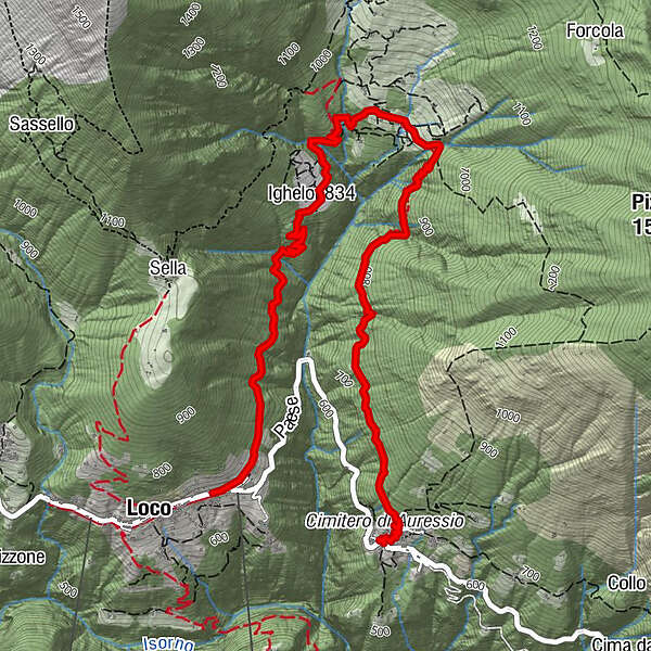
Loco (680 m)San Remigio0.1 kmSasiel1.3 kmIghelon (834 m)1.7 kmAuressio (616 m)5.0 km
- Best season
-
JanFebMarAprMayJunJulAugSepOctNovDec
- Description
-
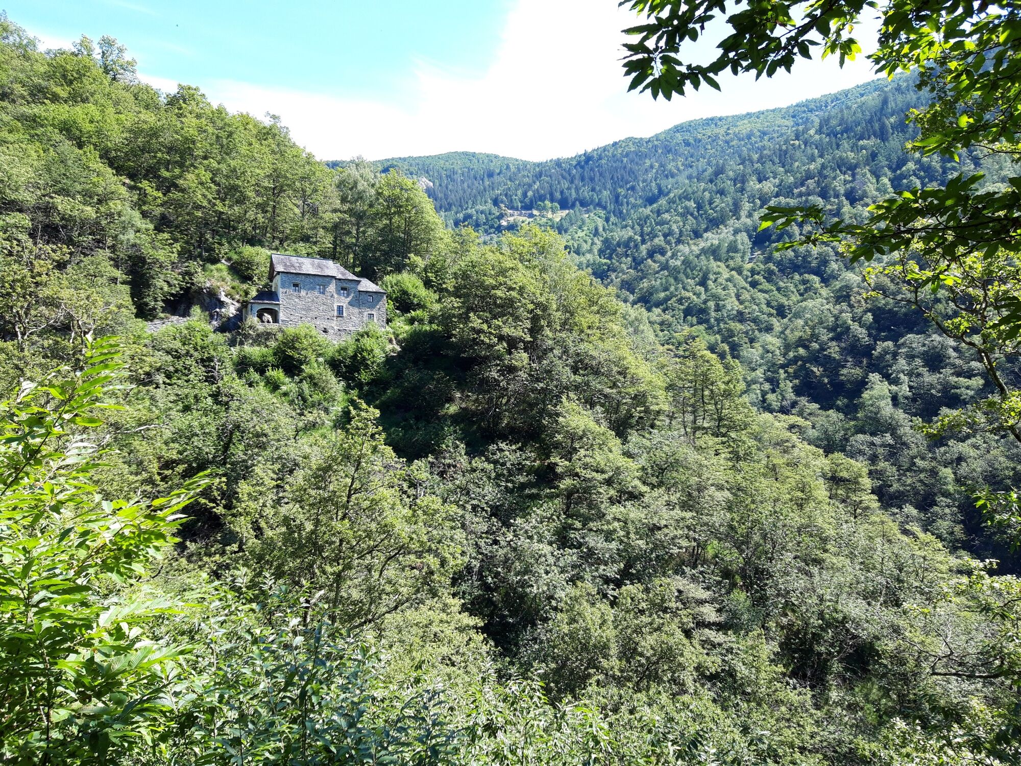
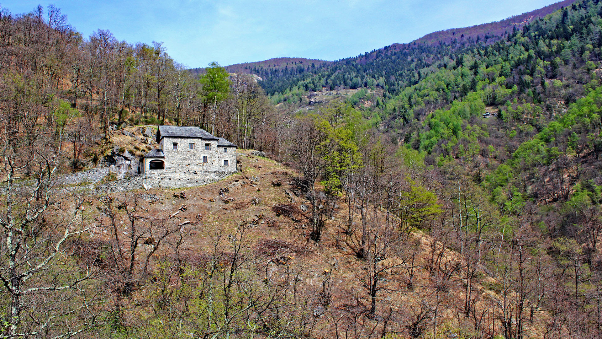
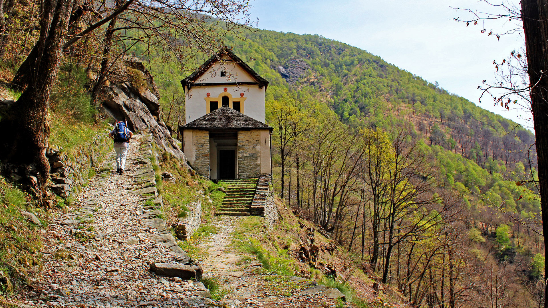
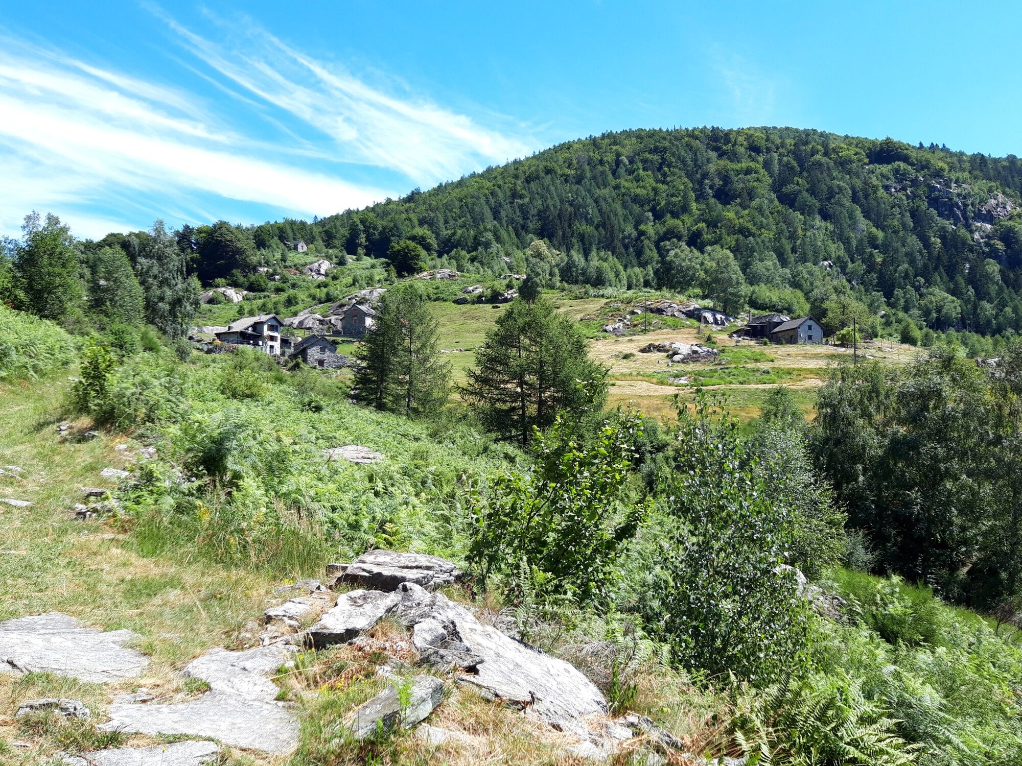
Start in Loco, accessible by car or bus. Loco is a small village in the Onsernone Valley that seems glued to the steep hillside. In Loco you can visit the Church of San Remigio (the oldest church in the valley), the Onsernonese Museum and the mill. The trail leads out to the village on a mule track and becomes a wide hiking trail. Always uphill, you reach Sasièl, where the Oratorio della Madonna di Re, built on a rock, is situated. Passing a few rustici (traditional stone houses), the path meanders up to Mulegn. A very pretty hamlet with a wonderful panorama. On the descent to Auressio there are various streams to cross, which is no problem thanks to the bridges. A peaceful landscape to enjoy nature. In Auressio, the bus leaves again and you can visit the Church of Sant'Antonio Abate or the infopoint.
- Highest point
- 914 m
- Endpoint
-
Auressio
- Height profile
-
 © outdooractive.com
 - Equipment
-
Hiking daypack (approx. 20 liters) with rain cover
Comfortable and sturdy footwear
Adequate and durable outdoor clothing in multiple layers
Telescope sticks if necessary,
Sun and rain protection
Snacks and drinking water
First aid kit
Penknife
Mobile phone, headlight if necessary
Maps - Public transportation
- Author
-
The tour Loco – Mulegn - Auressio is used by outdooractive.com provided.