
- Brief description
-
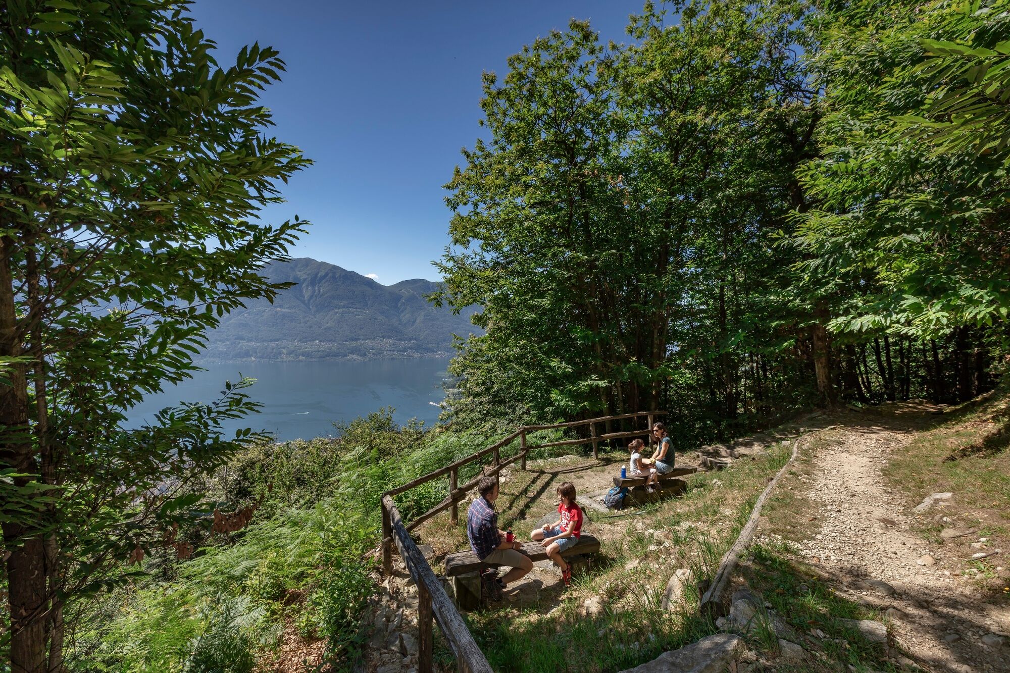
Easy panoramic trail that leads from Locarno Monti to Contra and boasts fantastic views over Lake Maggiore. Thanks to its low altitude and sunny position, it’s accessible all year round.
- Difficulty
-
easy
- Rating
-
- Starting point
-
Monti della SS. Trinità
- Route
-
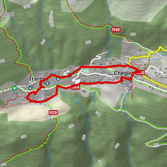
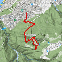
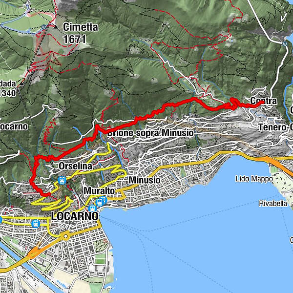
Locarno (195 m)Locarno Monti0.1 kmChiesa della Santissima Trinità0.1 kmChiesa evangelica riformata di Locarno-Monti0.1 kmOrselina (449 m)1.8 kmMoscumo2.3 kmBrione sopra Minusio (486 m)3.7 kmLögh del Biàdigh4.1 kmCapèla Rota4.5 kmCappella Rotta4.5 kmZotte5.0 kmHotel Ristorante San Bernardo6.8 kmContra6.8 km
- Best season
-
JanFebMarAprMayJunJulAugSepOctNovDec
- Description
-
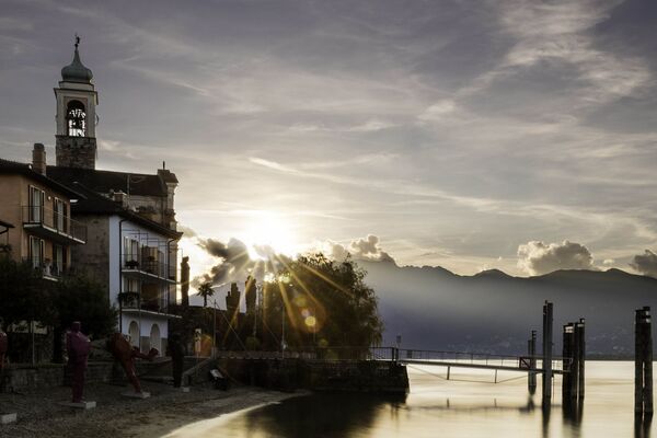
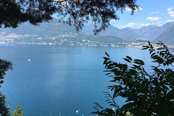
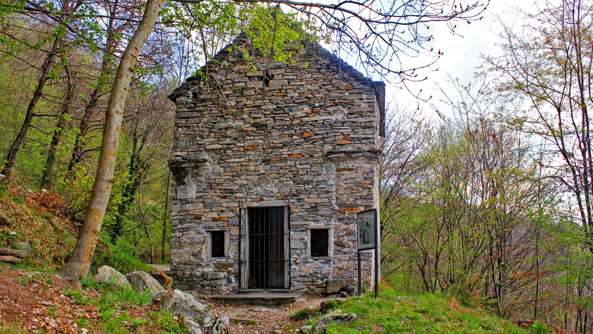
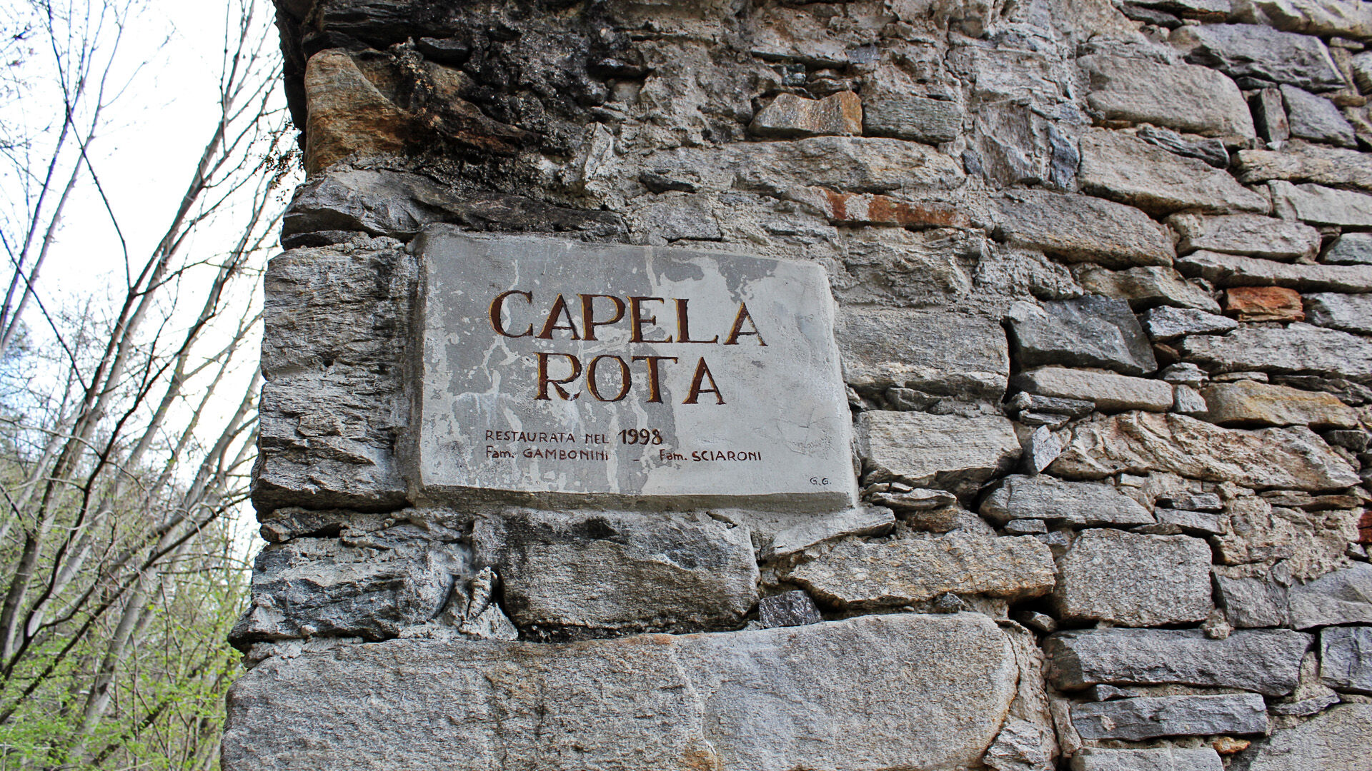
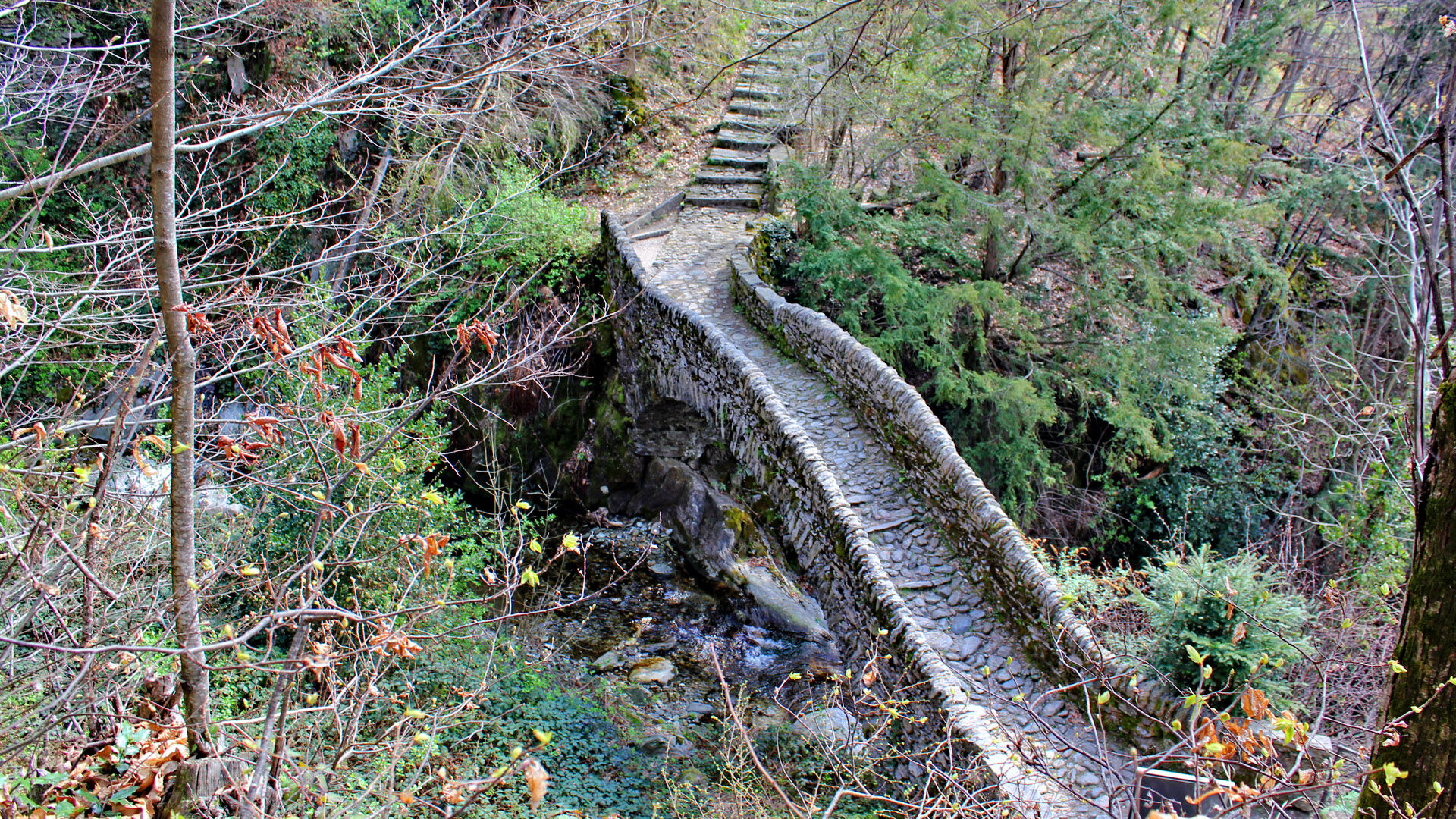
The trip starts from Monti della Trinità square, reached by bus or by funicular from Locarno, where you can enjoy an extended view over the Maggia Delta, Ascona, the Brissago Islands and a part of the Italian lake basin. Following the path to Roncaccio, starting alongside the church, you reach via Patocchi. Fifty metres above, just after the Verzaschese restaurant, you take the path which next takes in a chestnut tree wood before arriving in Orselina. After reaching the last of the houses, yellow signs indicate the trail which follows the mountain's curves and from which you can glimpse old pastures. You then arrive in via Selva, in the territory of Brione sopra Minusio. From the via Selva fork, take the path toward Val Resa, passing over the pretty humpback bridge, crossing the Navegna stream. In this area you'll notice a strange, unfinished building, the "Capèla rota", built perhaps around 1500. Continue on along the Val Resa road and when going down on the road which is open to vehicles you cross, finally, the path toward Contra, final destination of this beautiful excursion.
- Directions
-
Monti della SS. Trinità-All'Eco-Ronco di Bosco-Lögh del Biàdigh-Cappella Rotta-Contra, Paese
- Highest point
- 636 m
- Endpoint
-
Contra, Paese
- Height profile
-
 © outdooractive.com
 - Equipment
-
Hiking daypack (approx. 20 liters) with rain cover
Comfortable and sturdy footwear
Adequate and durable outdoor clothing in multiple layers
Telescope sticks if necessary,
Sun and rain protection
Snacks and drinking water
First aid kit
Penknife
Mobile phone, headlight if necessary
Maps - Public transportation
- Author
-
The tour The Collina Alta (Locarno Monti-Contra) is used by outdooractive.com provided.


General info
-
Lago Maggiore / Lombardei
745
-
Gambarogno Riviera
592
-
Muralto
224