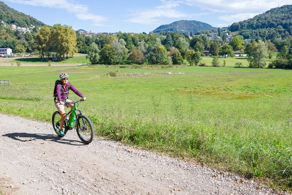

- Brief description
-
Through Piano di Magadino, the Ticino’s vegetable garden, then amidst European camping guests on the lovely lakeside promenade to Locarno, a happy mix of the German holiday dream, Ticino business people and Swiss German Italianità.
- Difficulty
-
easy
- Rating
-
- Starting point
-
Bellinzona
- Route
-
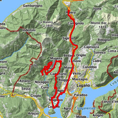
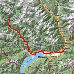
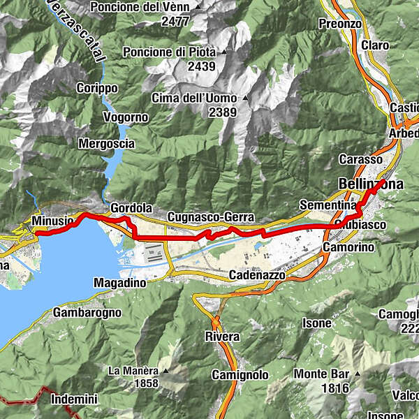
Bellinzona (241 m)Bellinzone (230 m)0.9 kmGiubiasco (238 m)2.7 kmGudo (232 m)8.4 kmRestaurant Pian Marnino9.7 kmMassarescio9.9 kmCugnasco (225 m)9.9 kmGerra Piano11.8 kmGordola (222 m)16.6 kmTenero (203 m)17.2 kmTenero17.5 kmMondacce18.2 kmCasa al Lago19.2 kmGiardino Lago19.6 kmChiesa di San Quirico20.5 kmManiss (246 m)20.7 kmLocarno (195 m)21.6 kmMuralto (207 m)21.6 km
- Best season
-
JanFebMarAprMayJunJulAugSepOctNovDec
- Description
-
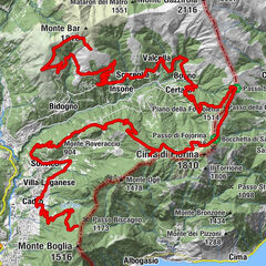
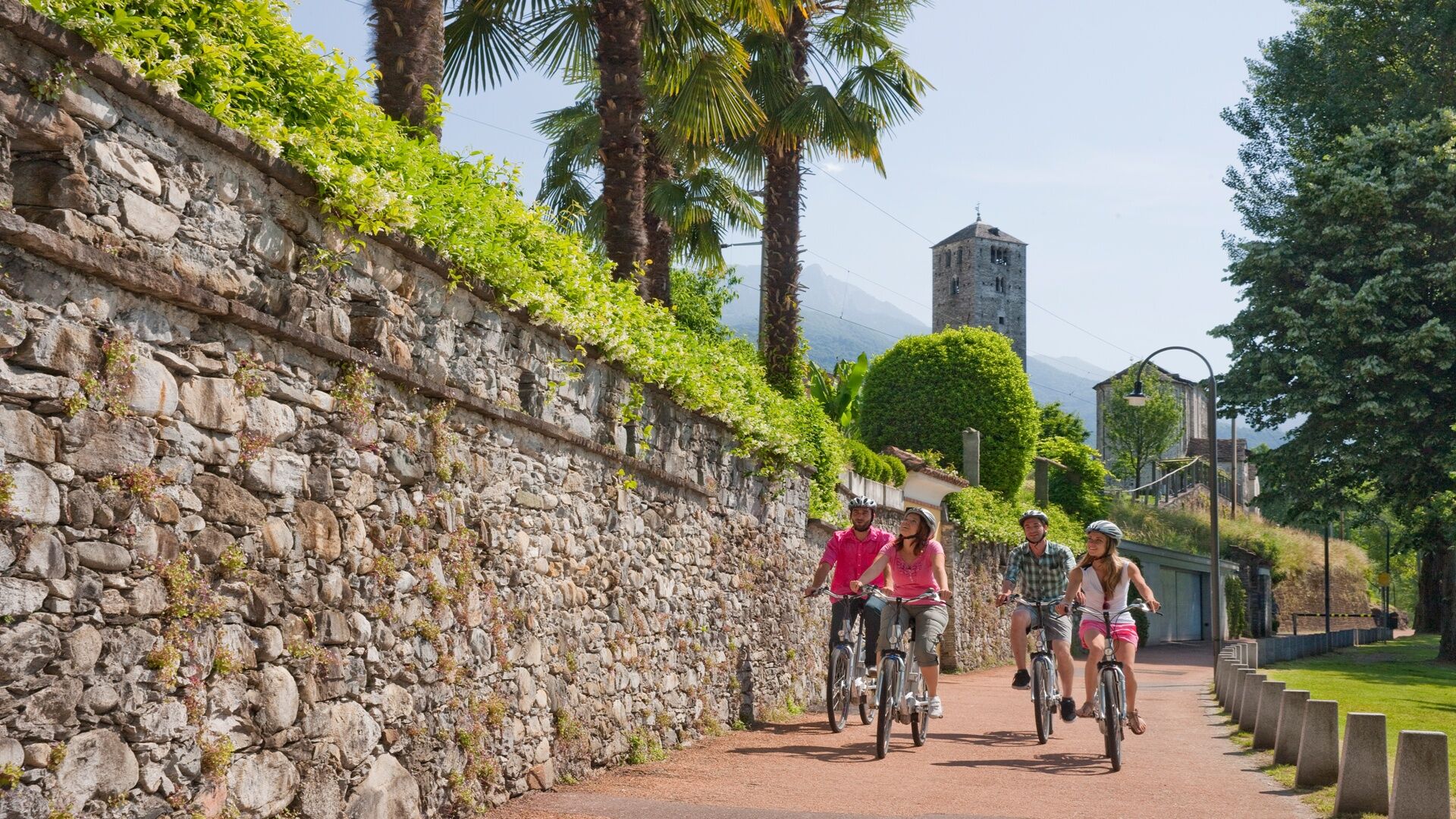
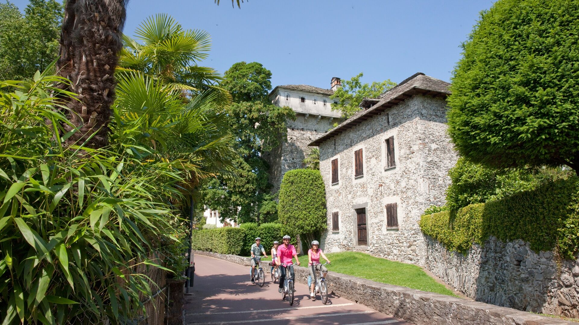
The Bellinzona starting point lies in a strategic spot at the southern entrance to the Gotthard, San Bernardino and Lukmanier Alpine passes. And, assimilating a Lombard character, it’s known to be the most Italian-like city in the country. Here you witness the mighty fortress consisting of three of the best-preserved medieval castles in Switzerland, dominating the skyline of the Ticino capital.
Named after the municipality of Magadino, the Magadino plain is located at the south-eastern end of the lake. A plain in part shaped by extensive vegetable gardens and the so-called ""Bolle di Magadino"" - one of the last unused river deltas in Switzerland. ""Bolle"" refers to bogs and marshes in Italian. This sunny route crosses the Verzasca; or rather what remains of it after the water has passed the dam best known from the James Bond film.
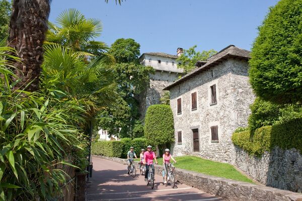
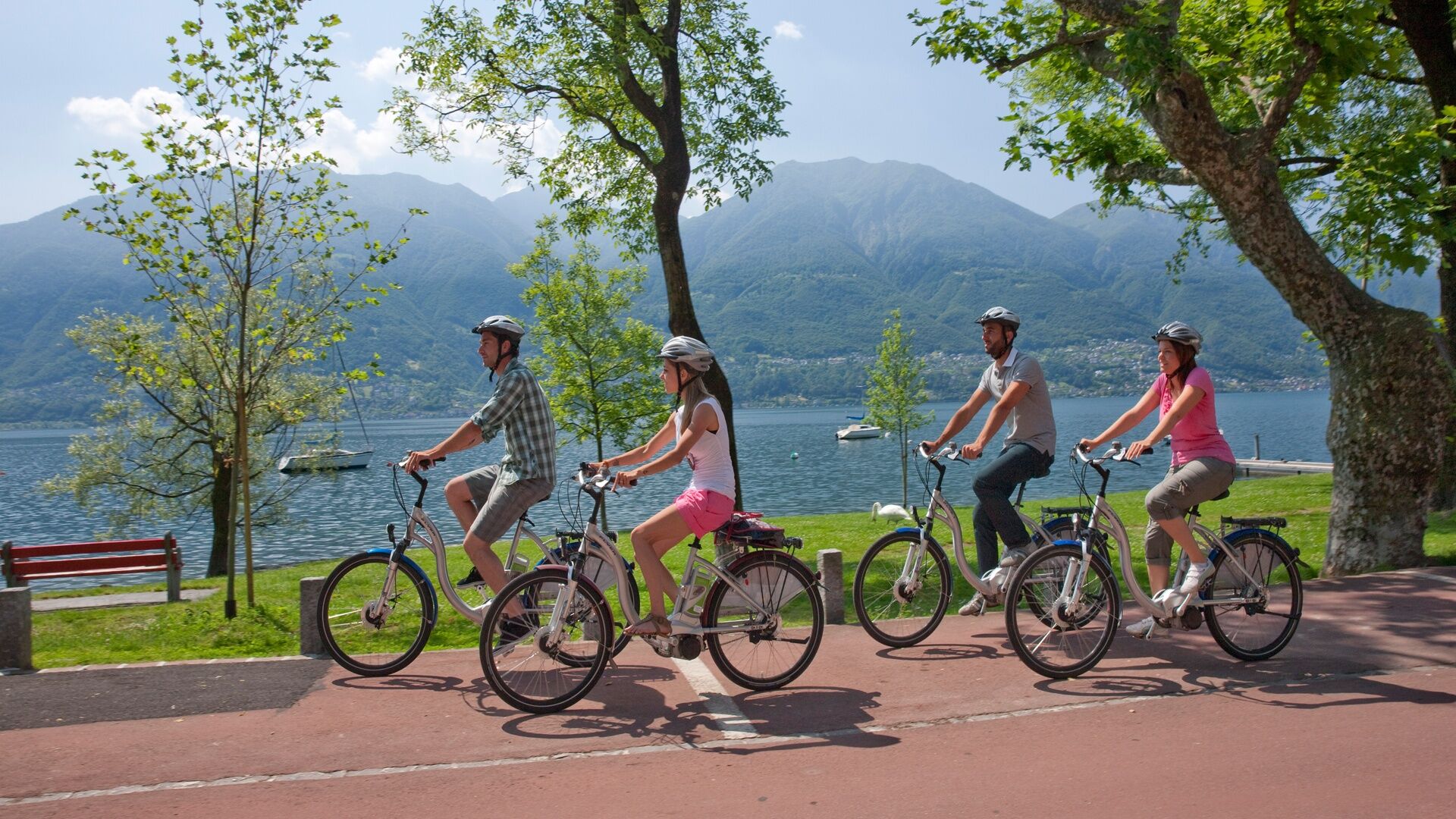
By Lake Maggiore you share in the company of young athletes at the national youth sports center Tenero - with the shoreline stretch between Tenero and Locarno then shaped by simple Ticino-style houses and large villas. Locarno lures people by the dozen to its international film festivals - and climatically it’s the mildest city in Switzerland, with around 2200 hours of sunshine a year.
(Source: Switzerland Mobility)
- Directions
-
Bellinzona, Stazione-Giubiasco-Gudo-Cugnasco-Tenero-Minusio-Muralto-Locarno
- Highest point
- 229 m
- Endpoint
-
Locarno
- Height profile
-
 © outdooractive.com
 - Additional information
-

-
AuthorThe tour Route Vallemaggia - Stage 1: Bellinzona-Locarno is used by outdooractive.com provided.