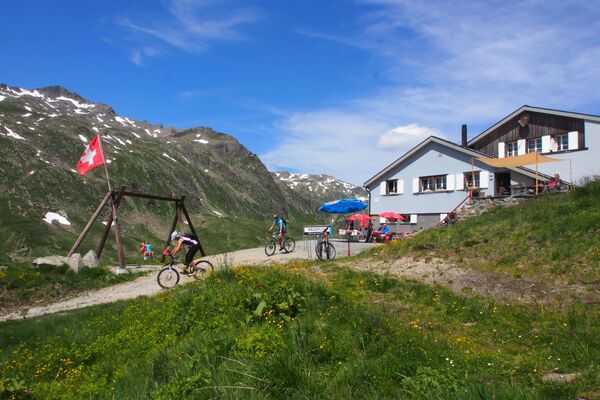
- Brief description
-
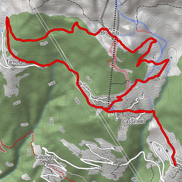
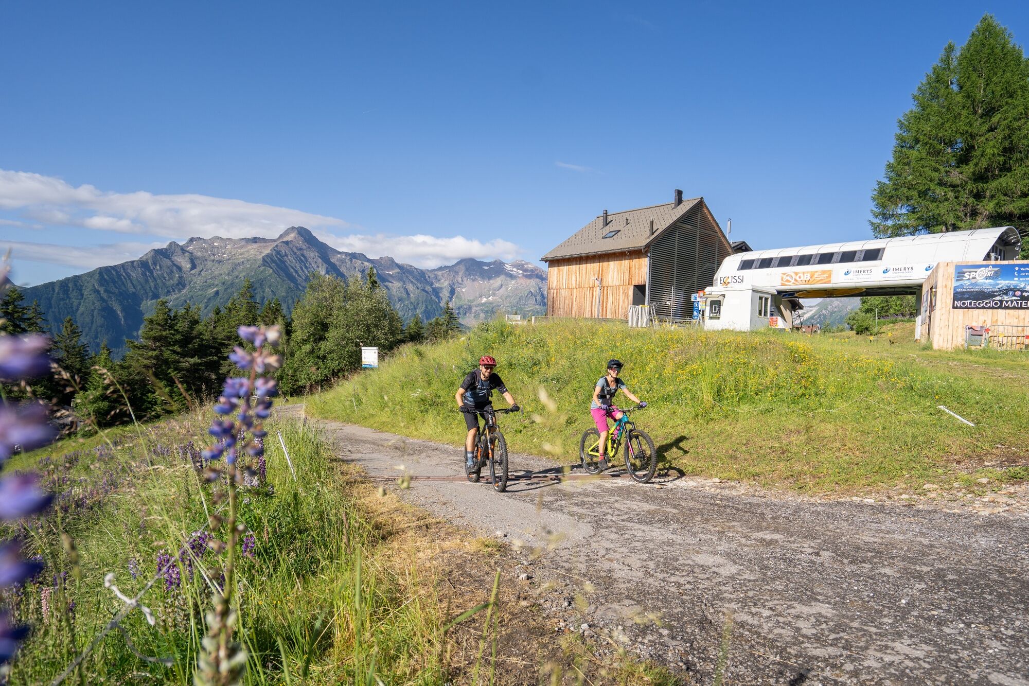
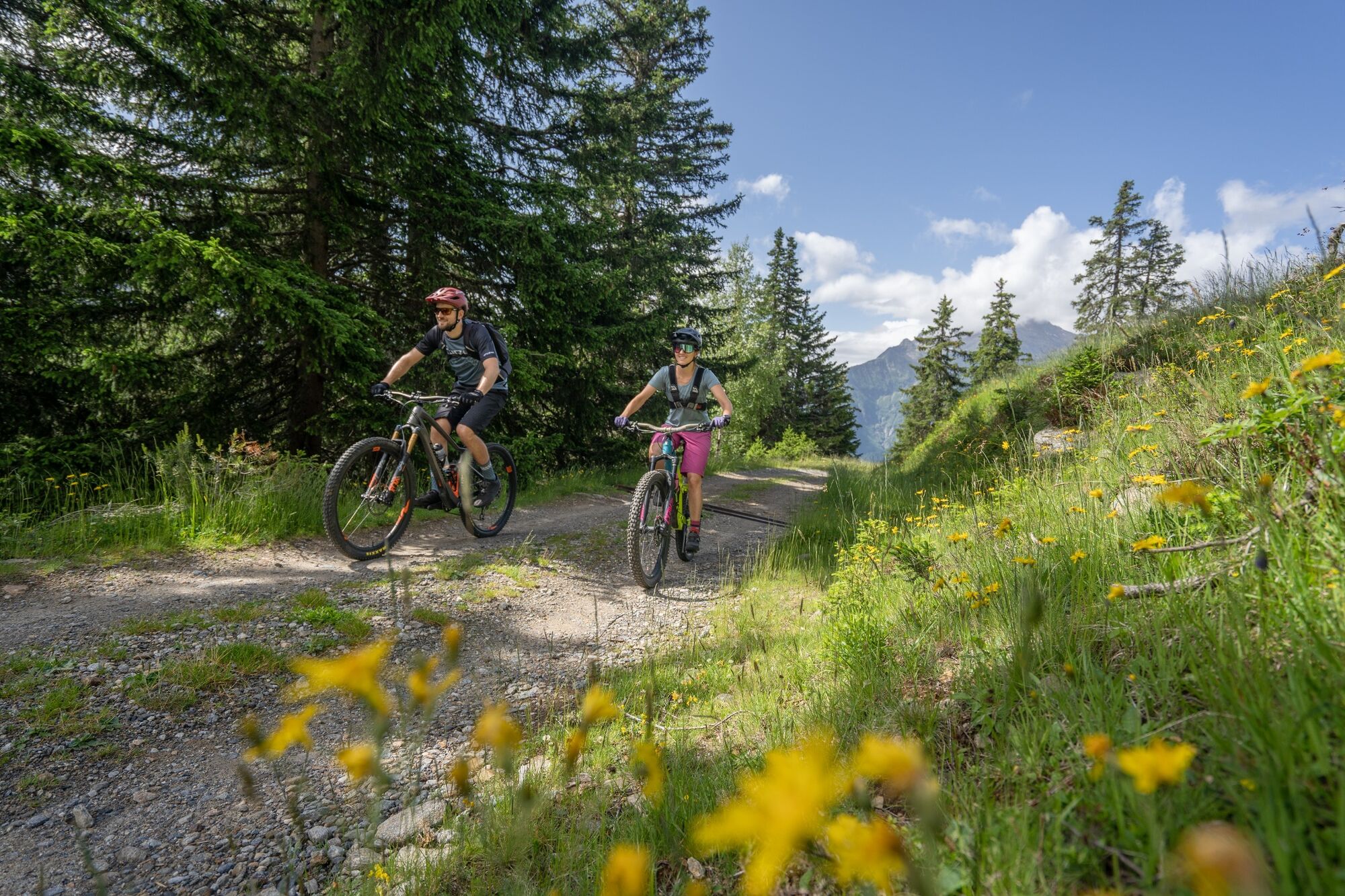
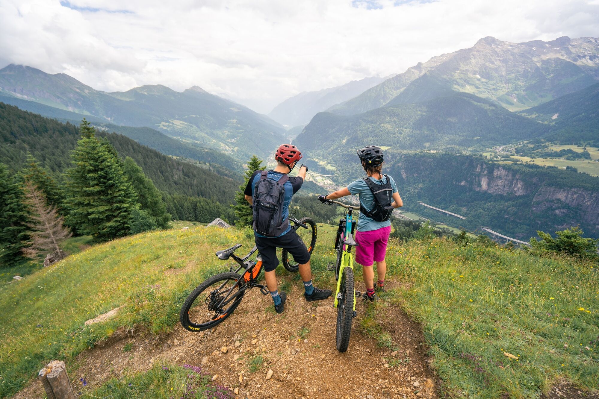
From the centre of Molare you reach the middle part of the Carì ski resort from where you descend first on a single trail and then on a road to reach the starting point. This is a short, physically undemanding but technically interesting circular trail with a view of the Pizzo Campo Tencia, the highest mountain entirely on Ticino.
- Starting point
-
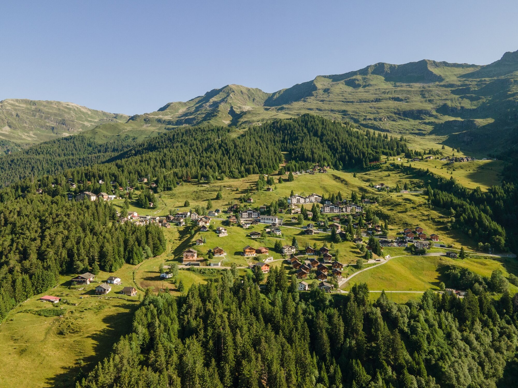
Molare
- Route
-
MolareCarì1.2 kmCarì Croce (nucleo)1.3 kmRisorante La Pineta1.6 kmBrusada (1,950 m)4.8 kmOsteria Belvedere4.9 kmBrusada5.0 kmTarnolgio7.8 kmRisorante La Pineta9.4 kmCarì Croce (nucleo)9.7 kmCarì9.8 kmMolare11.1 km
- Description
-
From the centre of Molare, which is easily reached by postbus, the route goes slightly uphill to the starting point of the Carì ski lifts along the little-travelled cantonal road.
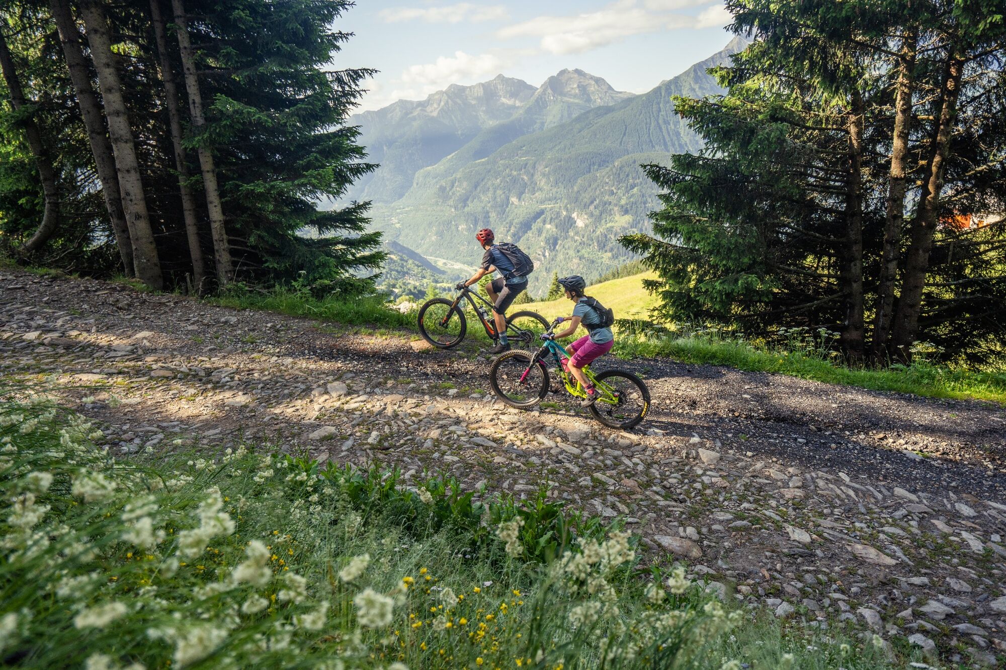
The next 300 metres of difference in height towards the intermediate station at Brüsada/Cari 2000 can be covered on a comfortable dirt road, which in winter serves as a downhill run to the valley.
For those who do not wish to ride uphill, there is the possibility (depending on the season) of using the chairlift to cover this stretch. (inquire about accessibility and opening hours).
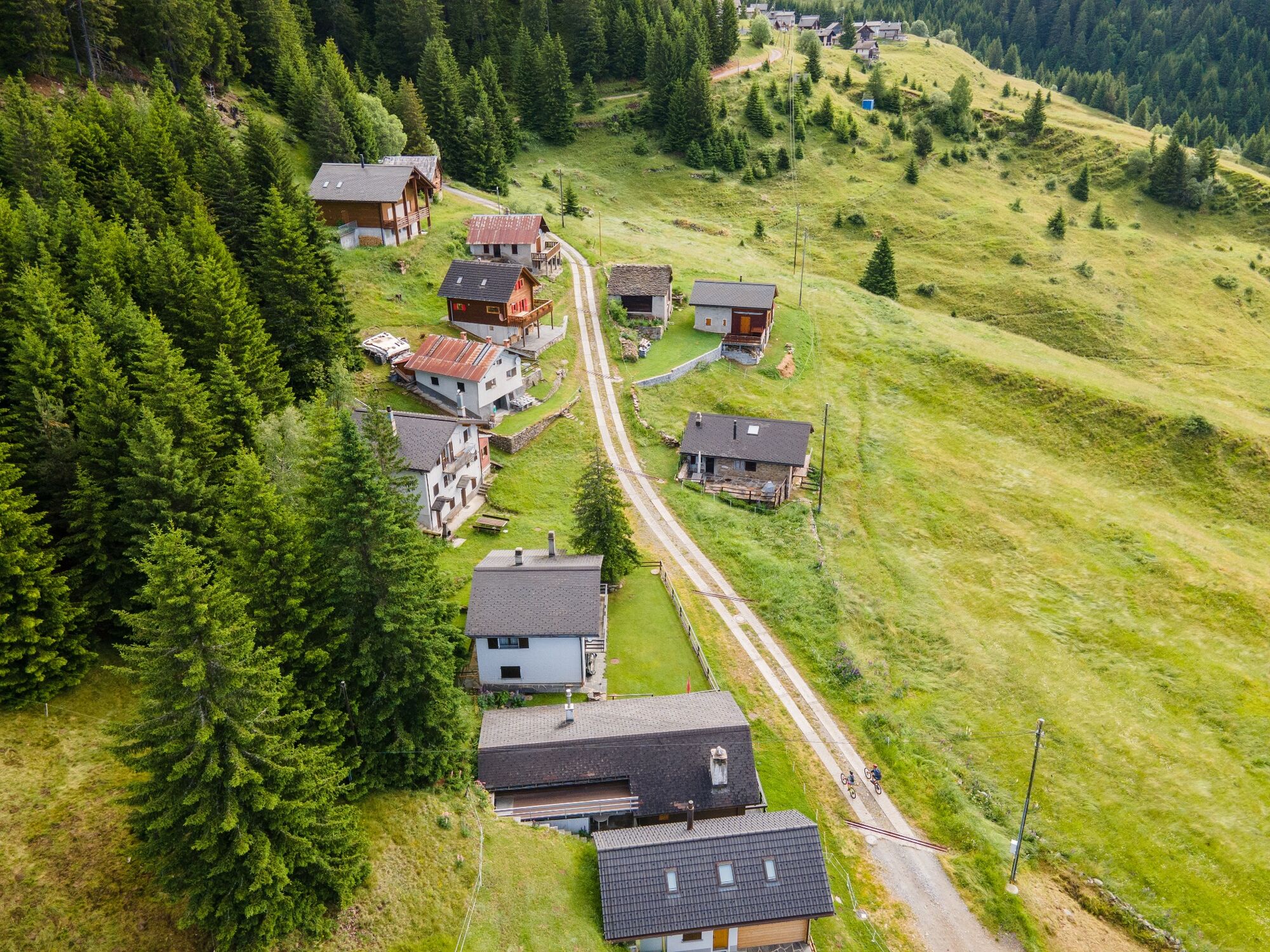
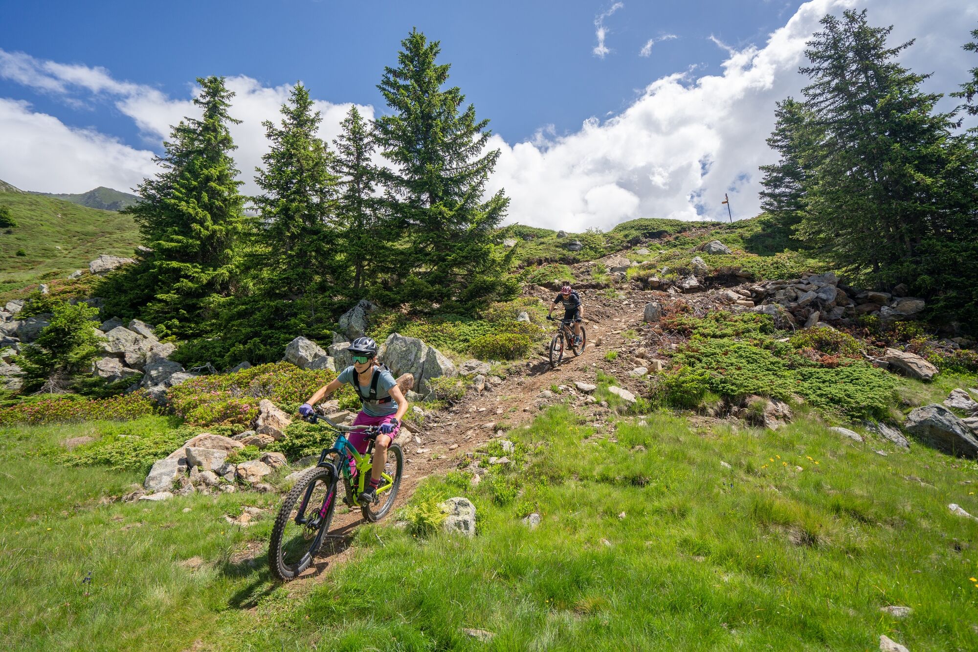
When you reach Carì 2000, take the single trail, shared with hikers on foot, which passes by Tic Cattaneo and then leads to the asphalt road that takes the biker back to Carì and then to the starting point.
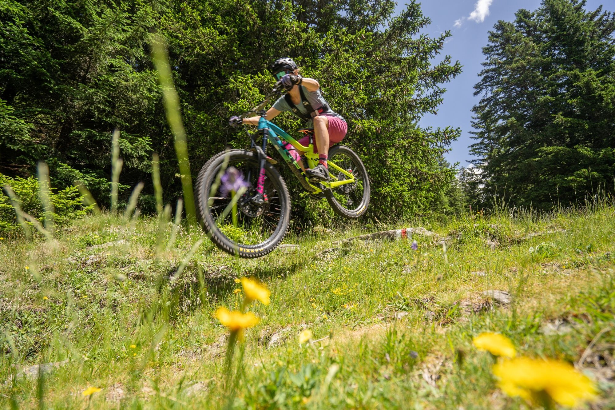
The path, although not extremely difficult and very enjoyable, requires less experienced bikers to know how to read the terrain in order to choose the most convenient line and to adopt a cautious and defensive attitude, especially for passages near some steps. The extremely beautiful natural setting (fir woods, small lakes, bucolic glades) will amply repay the effort required. - Highest point
- 1,953 m
- Endpoint
-
Molare
- Height profile
-
 © outdooractive.com
 - Tips
-
For mountain biking, follow the logo indicated on the red signposts: Carì Bike Nr. 394


-

-
AuthorThe tour Carì Bike (SwitzerlandMobility 394) is used by outdooractive.com provided.