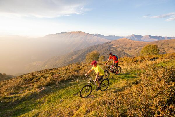
- Brief description
-
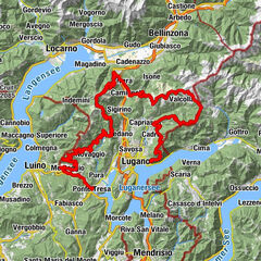
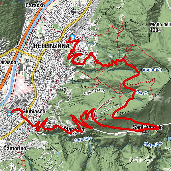
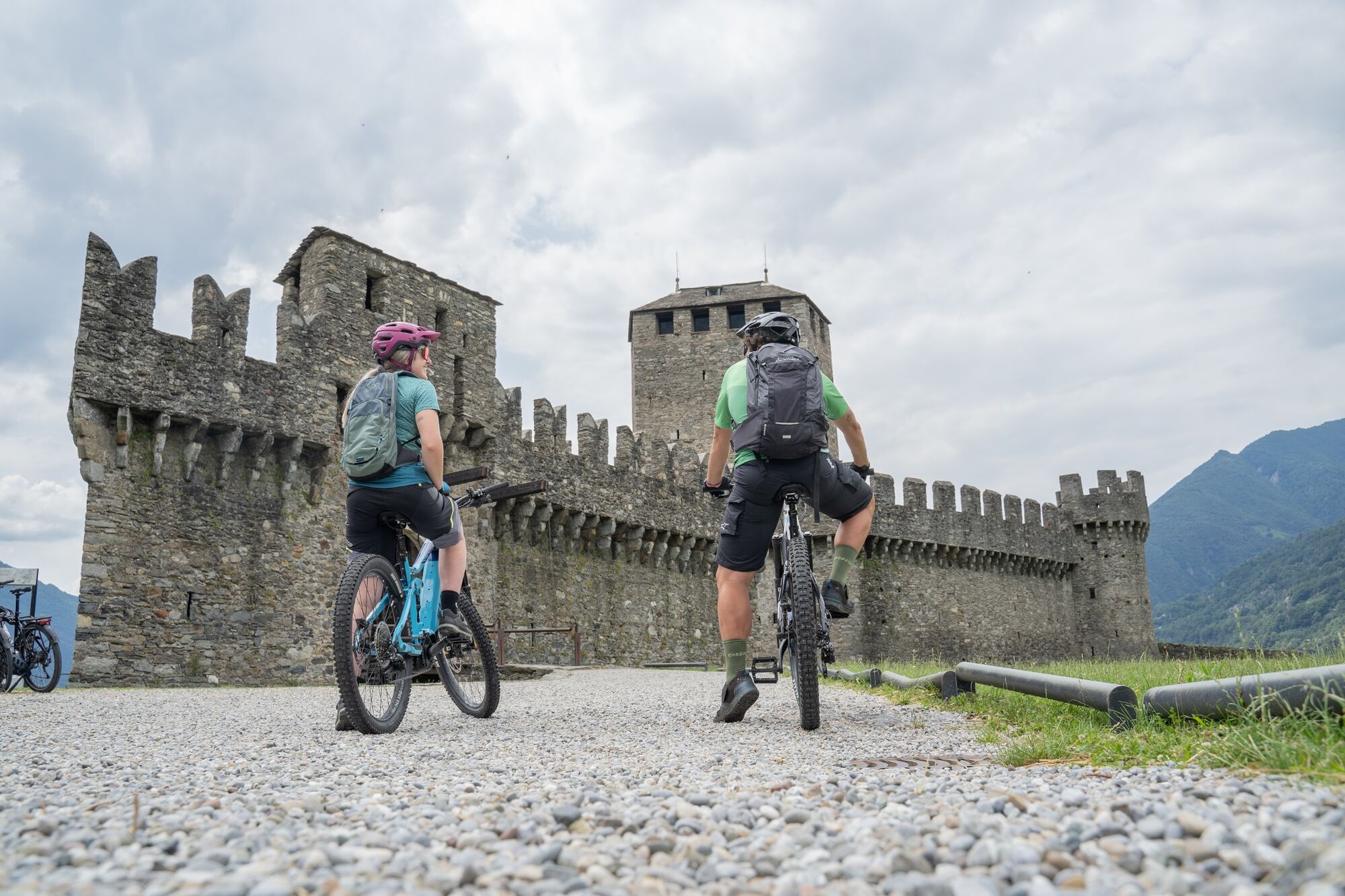
A route that takes you through the characteristic Morobbia Valley, following the path taken by the historic cycle race Giubiasco-Carena. The view of the Magadino Plain is magnificent, and on the descent you can enjoy a splendid panorama of the three UNESCO Castles of Bellinzona.
- Difficulty
-
medium
- Rating
-
- Starting point
-
Giubiasco
- Route
-
Giubiasco (238 m)1.4 kmPianezzo (491 m)3.8 kmPaudo7.4 kmVellano9.2 kmCarmena9.6 kmS. Antonio (Val Morobbia) (822 m)9.6 kmChiesa dei Santi Antonio abate e Abbondio9.8 kmGrotto Rosetta13.5 kmMonda15.5 kmLaghetto16.6 kmArtore18.4 kmDaro19.8 kmBellinzone (230 m)20.3 km
- Best season
-
JanFebMarAprMayJunJulAugSepOctNovDec
- Description
-
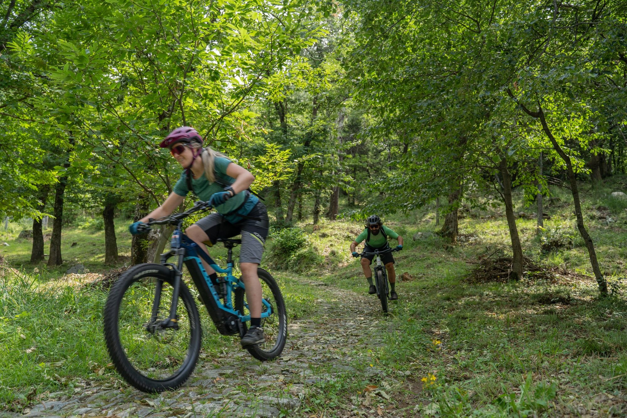
The starting point is Giubiasco, the most southerly quarter of the municipality of Bellinzona overlooking the Magadino Plain. From Giubiasco railway station, you’ll reach Piazza Grande, one of the largest squares in the canton and the crown jewel of the city of Bellinzona with its magnificent carpet of green dotted with a dozen sculptures by contemporary artists. From here, the cantonal road climbs into Morobbia Valley, crossed by the river of the same name, up to the San Jorio pass.
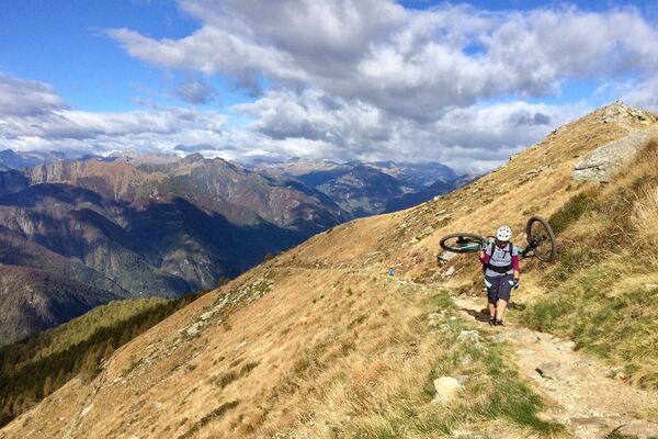
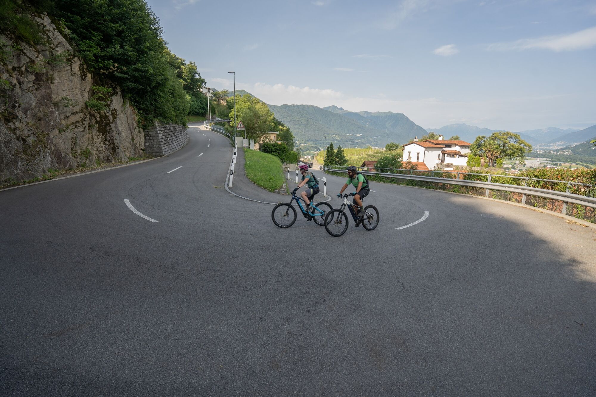
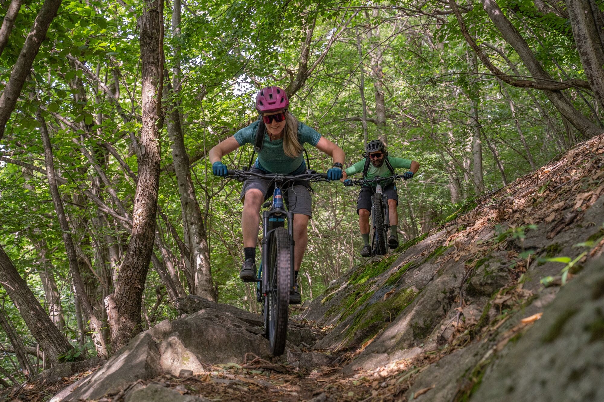
Cycling among the hills with their vineyards, the view extends out to the mountains and the Magadino Plain all the way to Lake Maggiore. In Carena, you’ll leave the tarmacked road to turn into a single trail towards the Paudo mountains, through a beautiful chestnut wood. You’ll have to push your mountain bike a few times in this section. Later, between the mountains of Paudo and the mountains of Ravecchia, you’ll continue along another tarmacked section of the route.
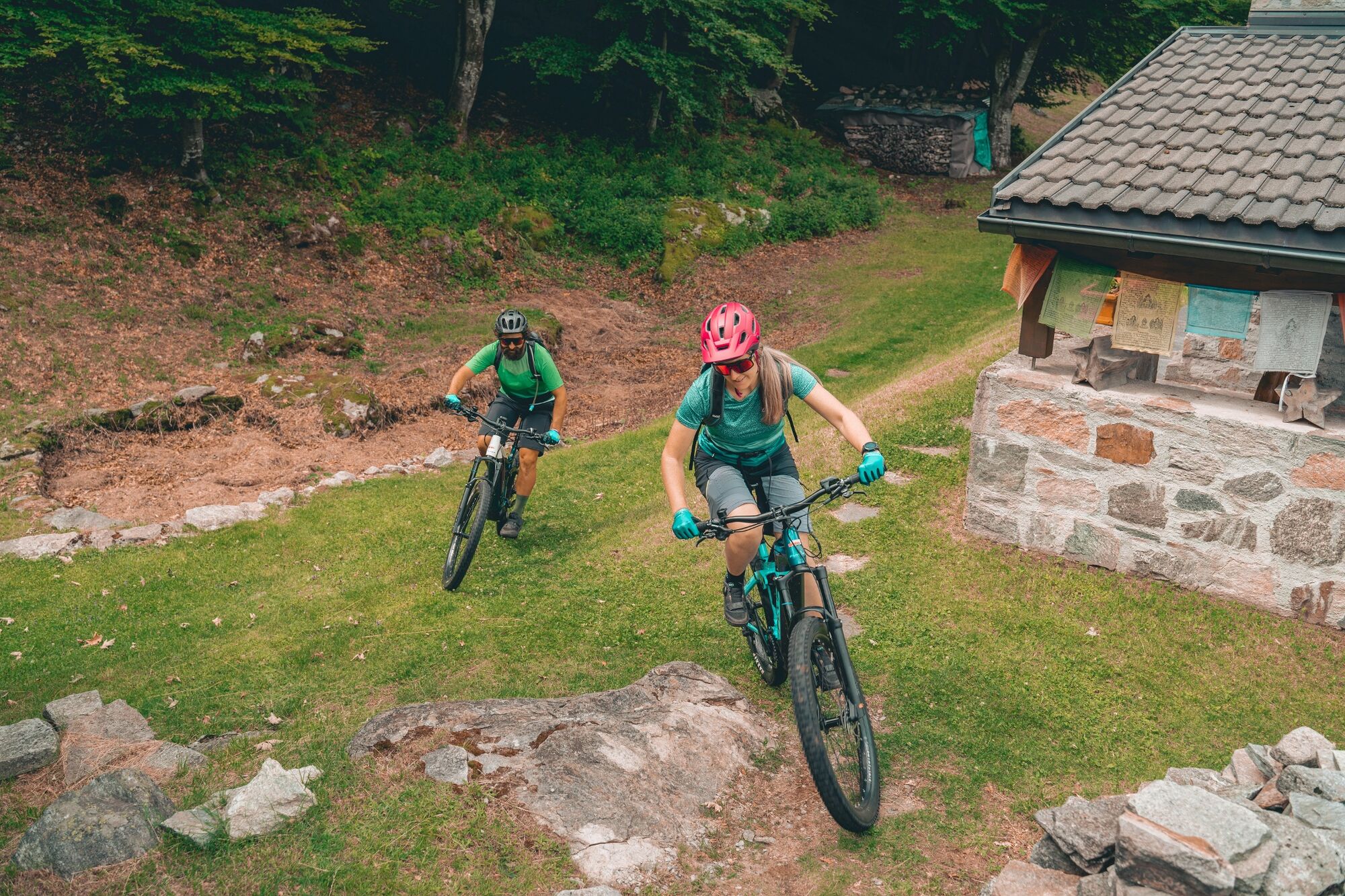
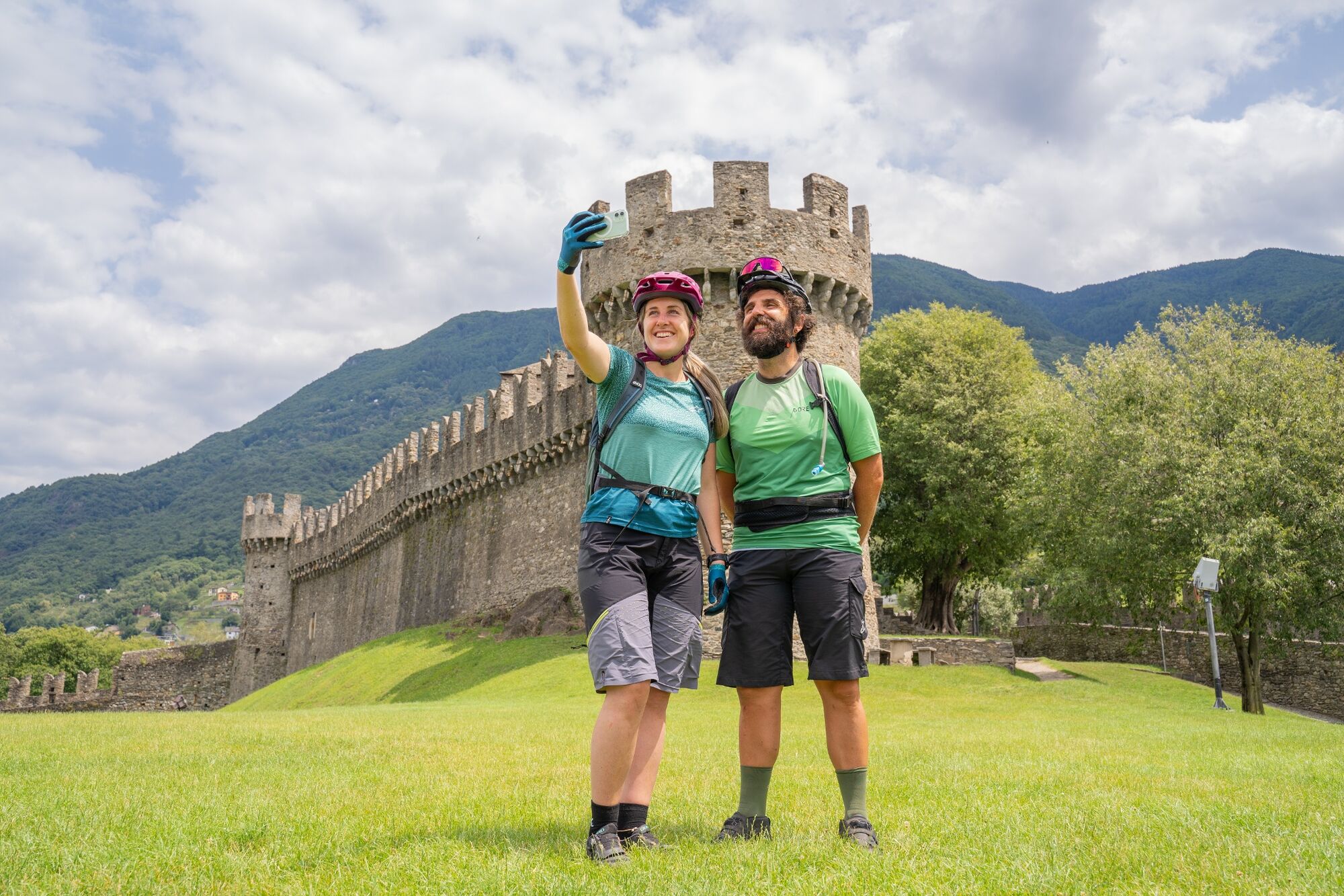
Then the descent towards Bellinzona starts. During the descent, you can admire the three medieval Castles of Bellinzona from close range, which have been listed as a UNESCO World Heritage Site since 2000. A steep mule track zigzags down towards the Castello di Sasso Corbaro, perched on a rocky outcrop, passing by the Castello di Montebello to arrive at the railway station in Bellinzona. The path is in very good condition, but you will need to pay particular attention if wet.
- Highest point
- 1,005 m
- Endpoint
-
Bellinzona
- Height profile
-
 © outdooractive.com
 - Safety instructions
-
Wear protective gear Assess your capability accurately Give hikers right of way Stay on the trail Close fence gates.
An enjoyable tour includes the careful planning of the same. Please inform yourself in advance at the local information center about the route and weather conditions. Depending on the season and weather conditions, this route may be blocked or interrupted. - Tips
-
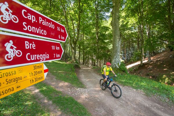
For mountain biking, follow the logo indicated on the red signposts: Valle Morobbia Bike - 392
- Additional information
-
www.bellinzonaevalli.ch/mtb


-

-
AuthorThe tour Valle Morobbia Bike (SwitzerlandMobility 392) is used by outdooractive.com provided.


-
Comer See
72
-
Bellinzona und Umgebung
62
-
Pianezzo
26