


- Brief description
-
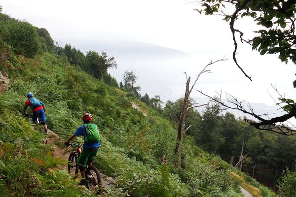
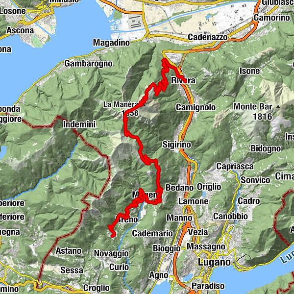
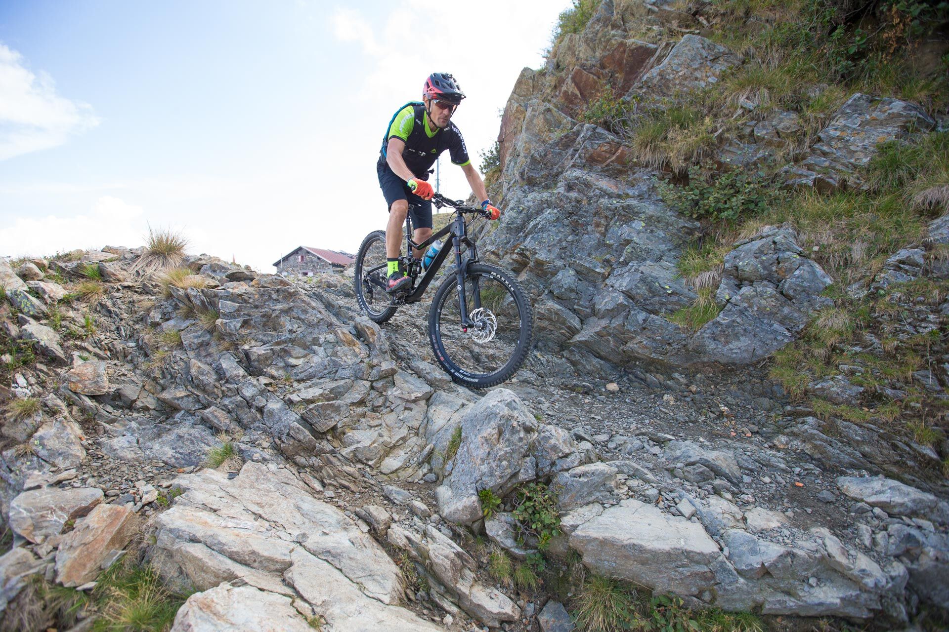
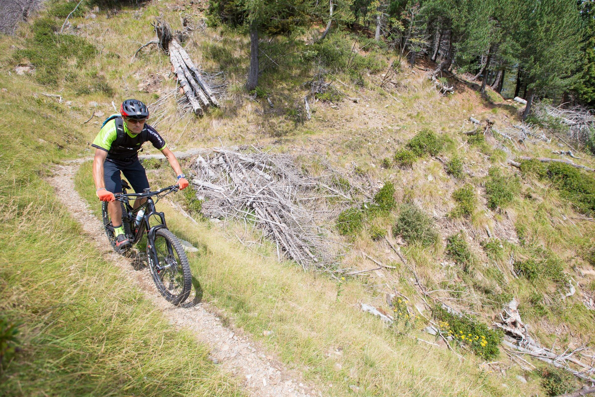
Take the aerial cableway up M. Tamaro and save energy. From the summit an unpaved road and a single trail in the middle of forest, followed by an unpaved road. Arosio – Miglieglia on a single trail in the typical rolling hills of Malcantone. Don't miss the ascent to M. Lema!
- Difficulty
-
difficult
- Rating
-
- Starting point
-
Rivera
- Route
-
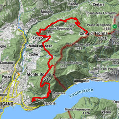
AlpinoRivera (554 m)Rivera-Bironico (472 m)0.0 kmBar Lagacci0.1 kmRistorante delle Alpi2.5 kmGrotto al Ceneri2.8 kmAi Monti di Tornago4.4 kmIn Spina de sott de Sura5.3 kmPiano di Mora7.2 kmLa Manèra (1,858 m)13.4 kmCapanna Tamaro13.7 kmMotto Rotondo (1,928 m)14.2 kmBassa di Indemini (1,723 m)15.5 kmAlpe di Pozzo17.9 kmLa Bassa (1,367 m)20.7 kmAlpetto24.1 kmAlpe Barco24.3 kmTèra d'Sóra26.7 kmArosio (864 m)27.0 kmArosio di Sotto27.2 kmTèra d'Sóra27.3 kmPiano di Piem28.2 kmMugena (815 m)29.0 kmAlto Malcantone (810 m)30.4 kmOratorio di Santa Maria delle Grazie di Sassello31.0 kmOsteria Busgnone31.2 kmVezio (782 m)31.2 kmFescoggia (837 m)33.0 kmLod33.6 kmAl Cioss34.0 kmBreno (799 m)35.7 kmLa Bolla36.4 kmTagnét36.9 kmCanavee38.7 kmOsterio Grotto Fonti38.7 kmMiglieglia (717 m)38.7 kmRistorante Negresco38.8 km
- Best season
-
JanFebMarAprMayJunJulAugSepOctNovDec
- Description
-
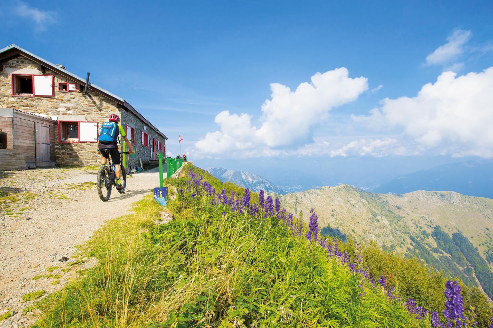
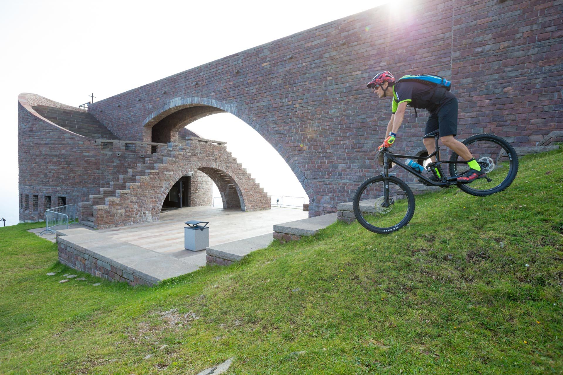
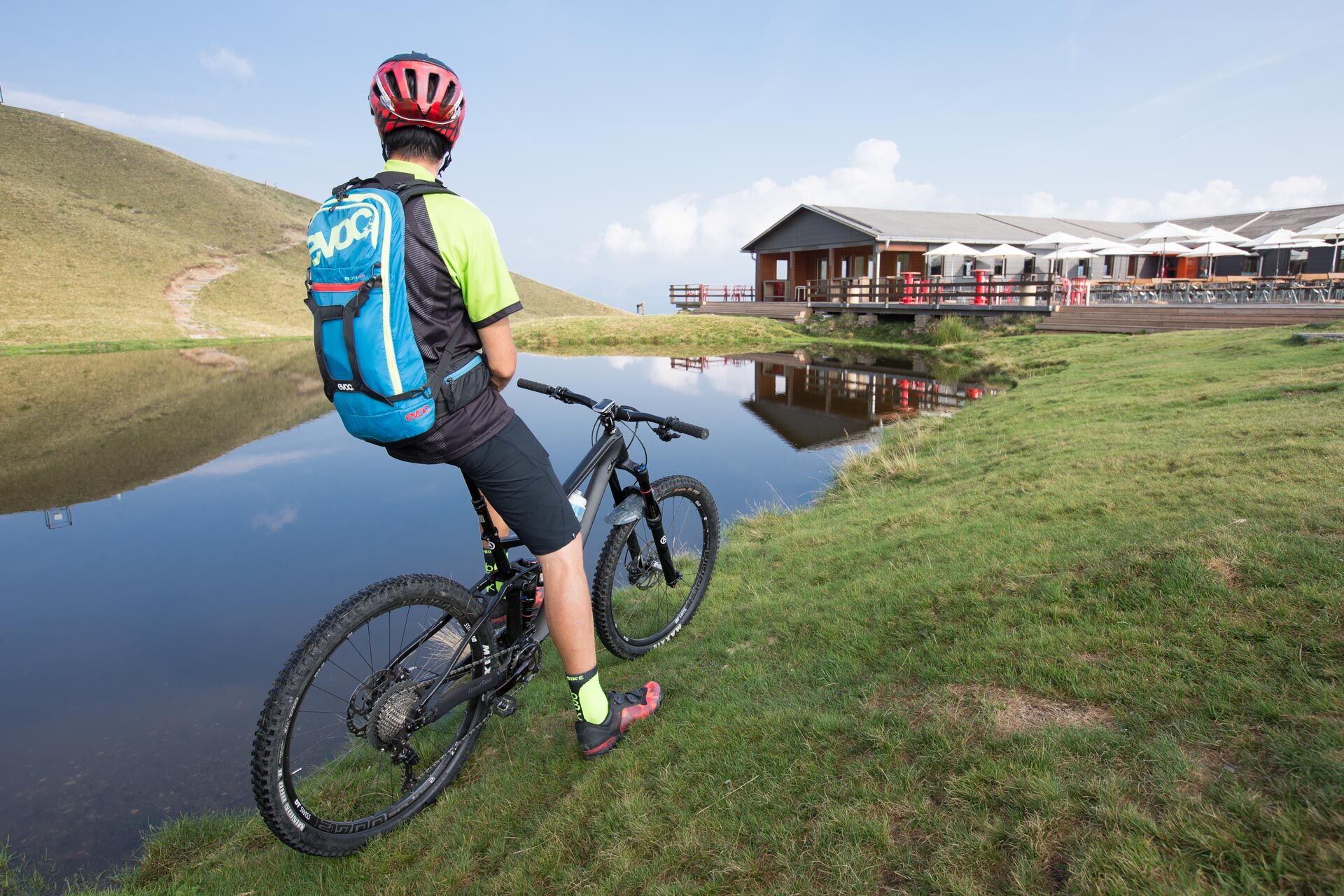
From Rivera a road through the woods leads to Alpe Foppa (the small lake and the church of Santa Maria degli Angeli, designed by the famous Swiss architect Mario Botta). Along a dirt path from which you can admire the view of the whole region proceed to Capanna Tamaro. From here following a single-track immersed in the typical hilly woods of the area, crossing the entire Alto Malcantone to Miglieglia, where we suggest taking the cable car up to Monte Lema.
- Directions
-
This route is only signposted in one direction: Alpe Foppa – Miglieglia
- Highest point
- 1,887 m
- Endpoint
-
Miglieglia
- Height profile
-
 © outdooractive.com
 - Tips
-
Push-only passage: Rivera – Miglieglia approx. 10 min.
- Public transportation

-

-
AuthorThe tour Lugano Bike Nr. 66 – Stage 3 – Rivera – Miglieglia is used by outdooractive.com provided.