Stage 2: Capanna Tomeo-Pertüs-Monti di Predee-Prato Sornico


- Brief description
-
A steep yet varied hike featuring the blue of the Lago di Tomè and a steep descent through the lush green Valle di Pertüs.
- Difficulty
-
medium
- Rating
-
- Route
-
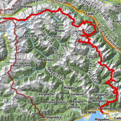
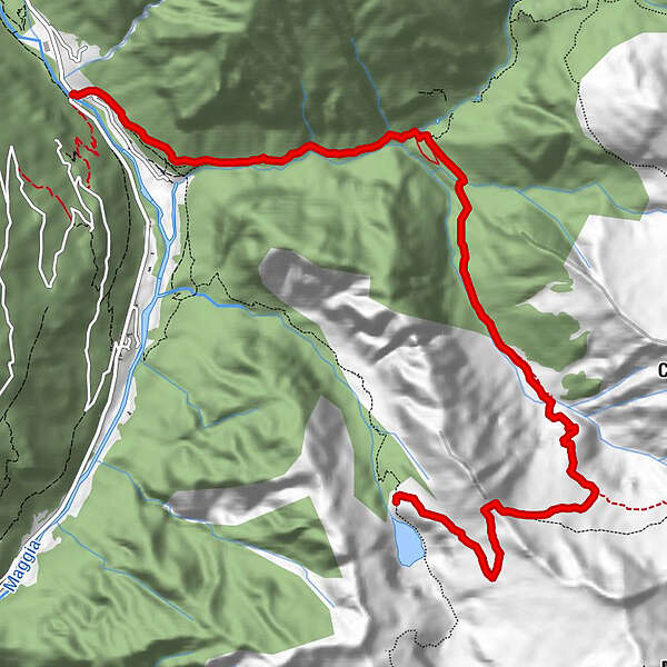
Rifugio Tomeo (1,882 m)0.0 kmSan Carlo7.0 kmPrato-Sornico (754 m)10.1 kmPonte10.2 km
- Best season
-
JanFebMarAprMayJunJulAugSepOctNovDec
- Description
-
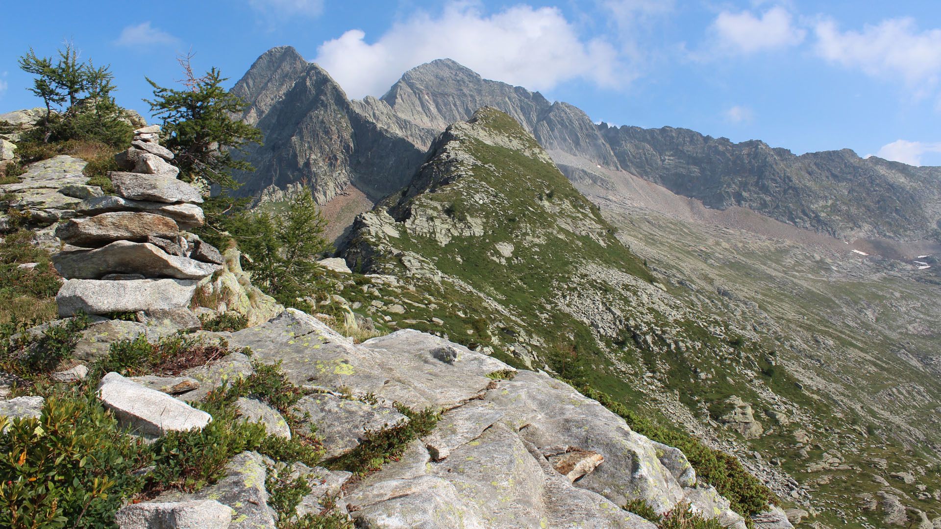
It's a steep climb from the Capanna Tomeo to the Bassa di Pertüs. Below you can see the intense colours of the Lago di Tomè, while the summit offers wide-ranging views of the valley.
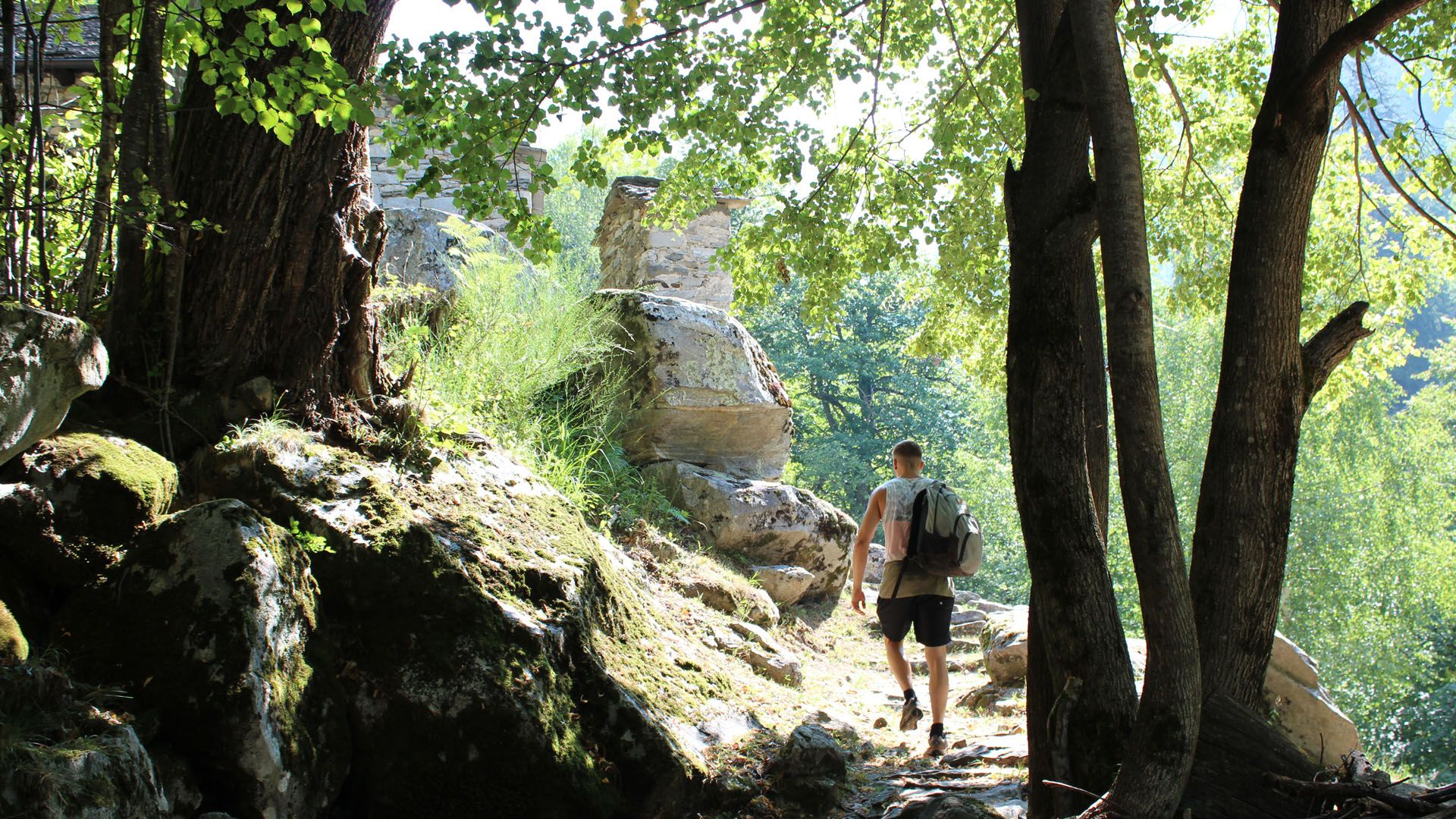
The descent into the Valle di Pertüs is very steep and stony. Not for nothing is this section called the cantón fadiós ("strenuous canton" in the local dialect). The views at the bottom are of the Valle di Prato and the green Valle di Pertüs.
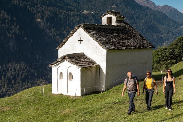
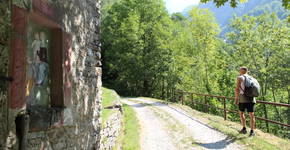
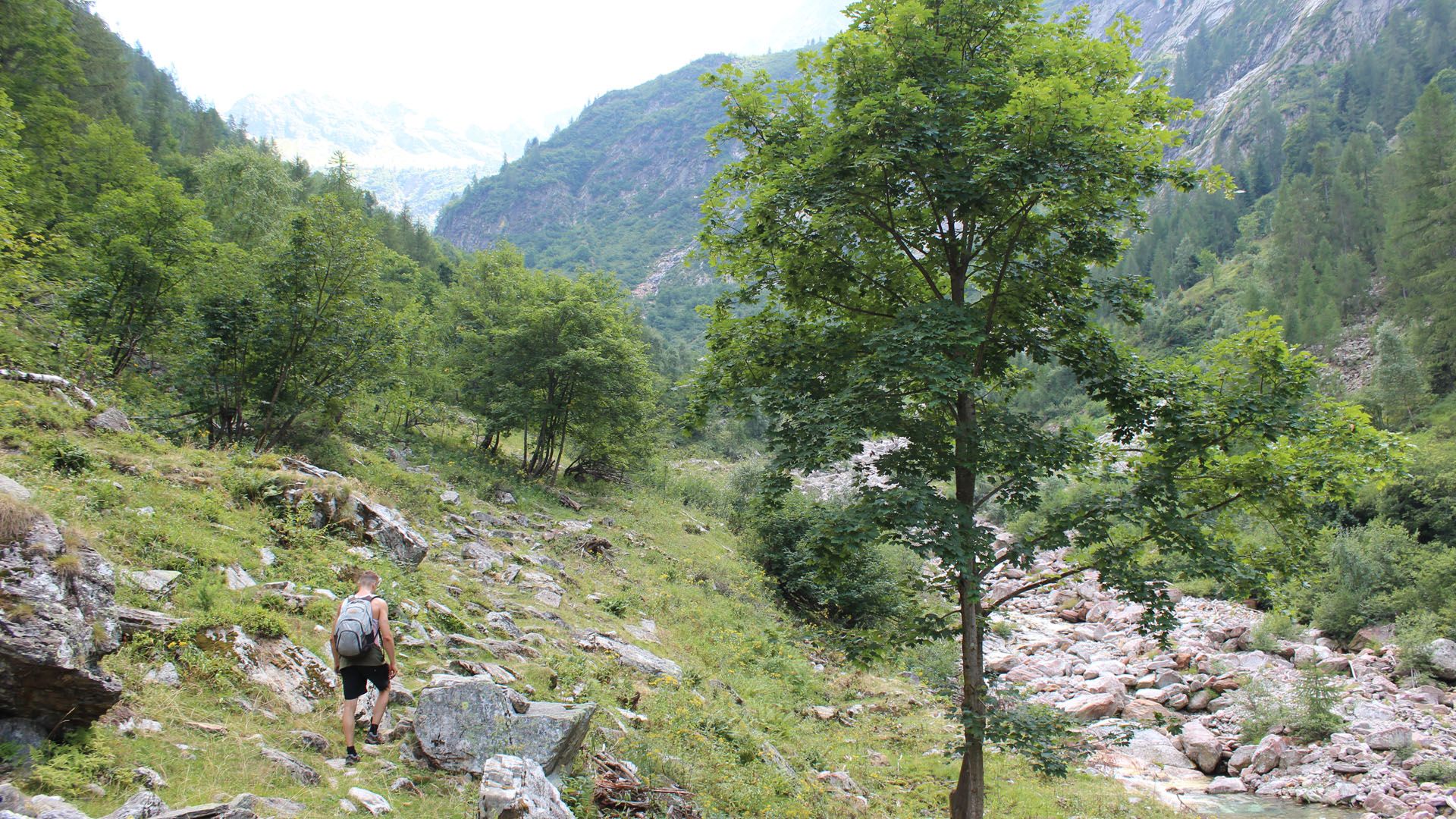
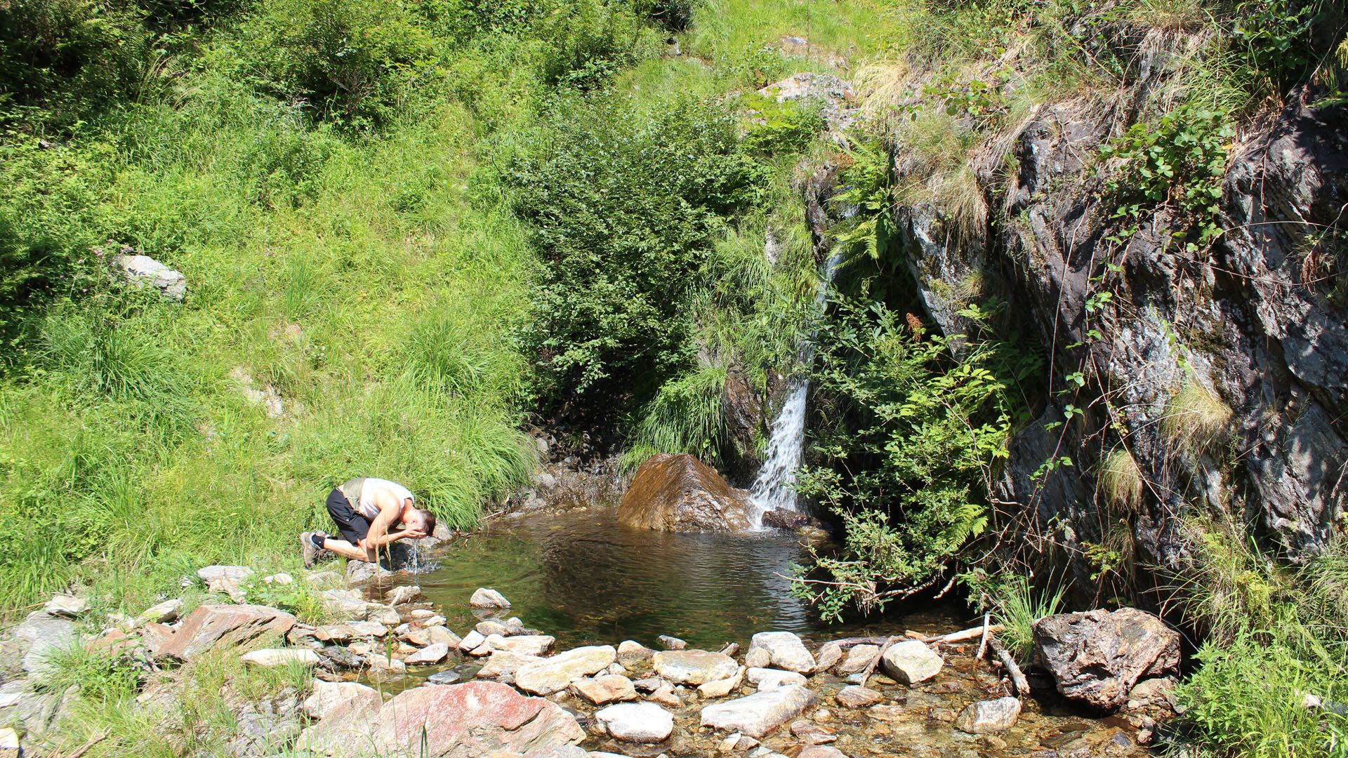
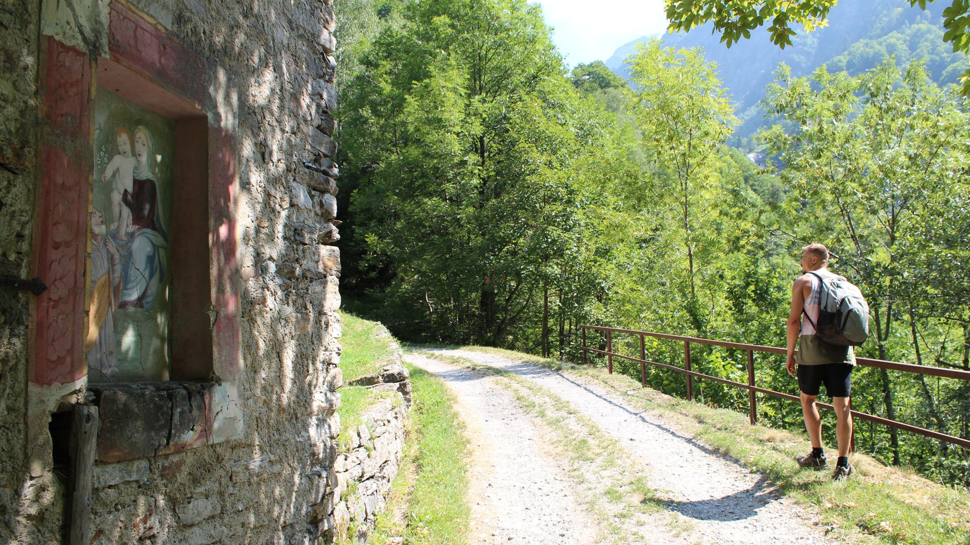
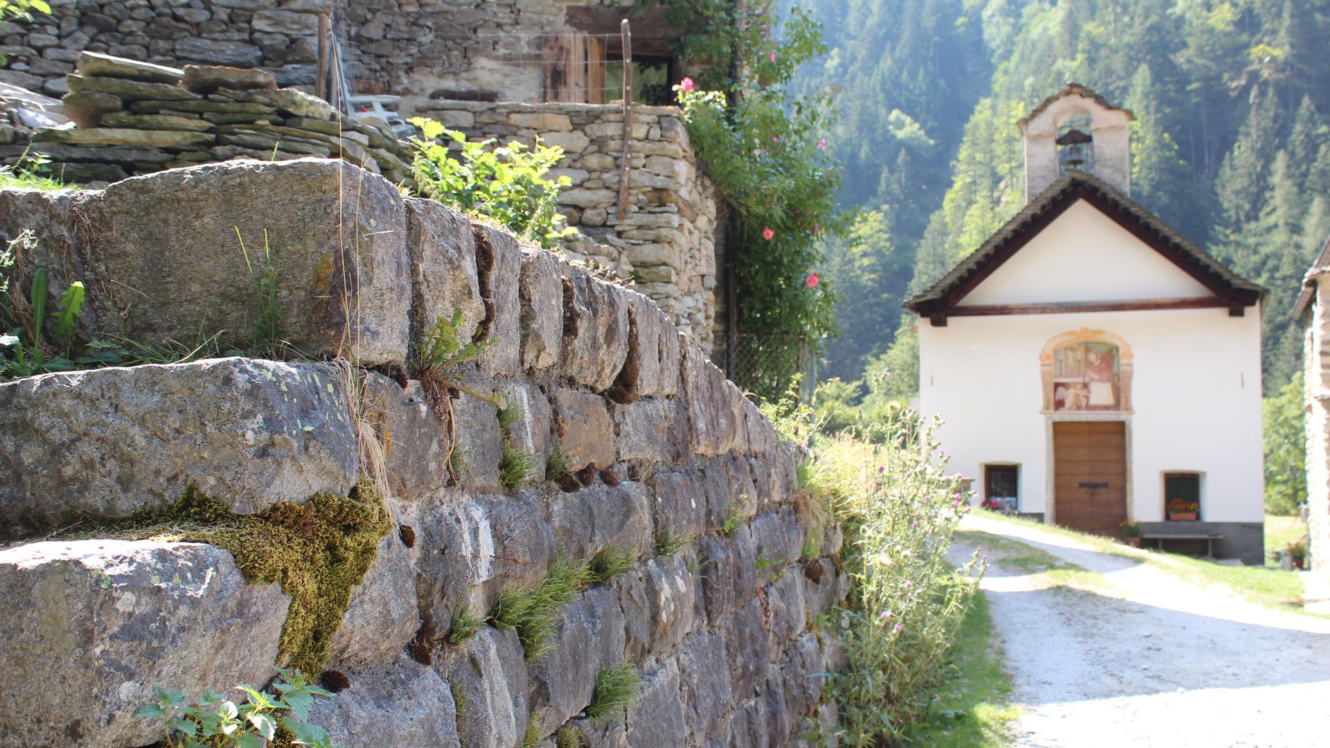
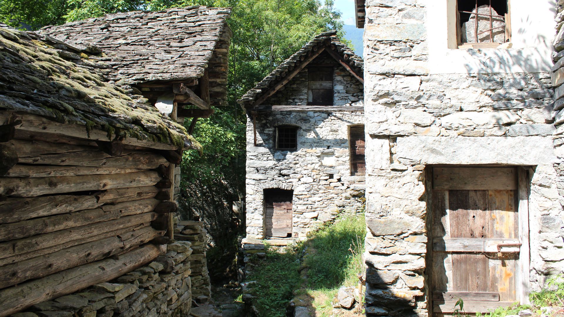
You descend further to the eponymous alp just above a steep rock face, aided by chains bolted into the rock. Traverse the former alp pastures to the Monti di Predee and follow the forest road down to Prato Sornico, which is served by buses to Locarno (check the times when planning the tour).
- Highest point
- 2,137 m
- Endpoint
-
Prato Sornico
- Height profile
-
 © outdooractive.com
 - Safety instructions
- Public transportation
-
From Locarno railway station: bus 315 towards Cavergno, Paese. Alight at Cevio, Centro Bignasco, Posta and change to 334 to Fusio, Paese. Alight at the bus stop Broglio, Paese.
Return from Prato Sornico: Bus 334 to Bignasco, Posta. Take the bus 315 towards Locarno Stazione. Alight at Locarno station. Further information:


-

-
AuthorThe tour Stage 2: Capanna Tomeo-Pertüs-Monti di Predee-Prato Sornico is used by outdooractive.com provided.