- Brief description
-
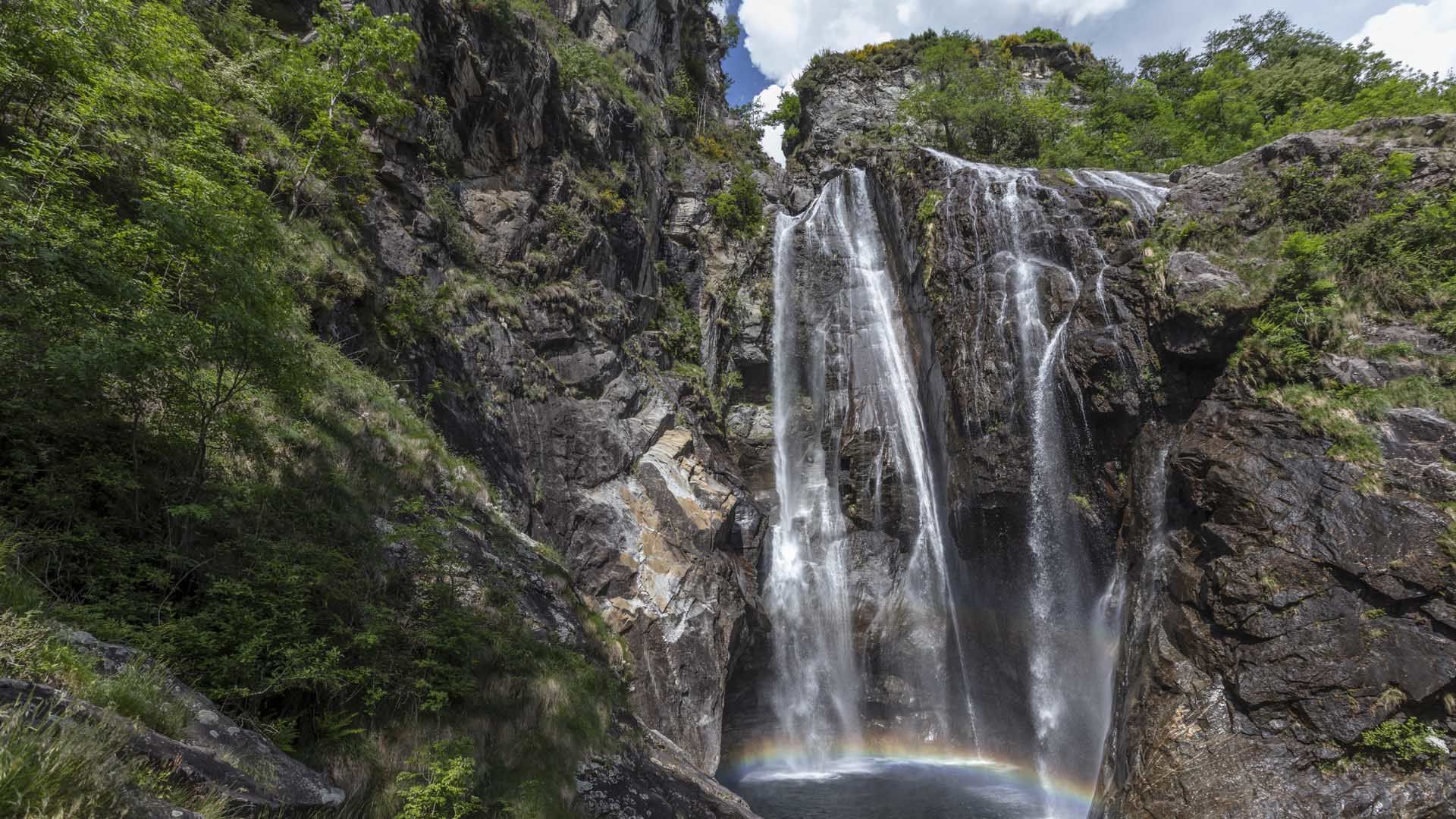
A round walk through the pristine Valle del Salto valley above the mighty Maggia waterfall.
- Difficulty
-
medium
- Rating
-
- Starting point
-
Maggia
- Route
-
Pizzeria Ristorante Quadrifoglio0.0 kmMoghegno (319 m)0.1 kmSnack Bar Chito0.2 kmMaggia (372 m)0.4 kmCascata del Salto1.1 kmI Pidèll1.3 kmA Braiaa1.6 kmA Braiaa d Dint1.9 kmLa D’ova2.2 kmA Talp’ing d Z’ott2.9 kmA Talp’ign3.0 kmInt in Cèir3.4 kmIn Canaa4.1 kmIn Canaa d Z’ott4.4 kmIn Rinsg Garzöö5.1 kmIn Òvia7.6 kmCascata del Salto7.8 kmMaggia (372 m)8.4 kmSnack Bar Chito8.6 kmMoghegno (319 m)8.7 kmPizzeria Ristorante Quadrifoglio8.8 km
- Best season
-
JanFebMarAprMayJunJulAugSepOctNovDec
- Description
-
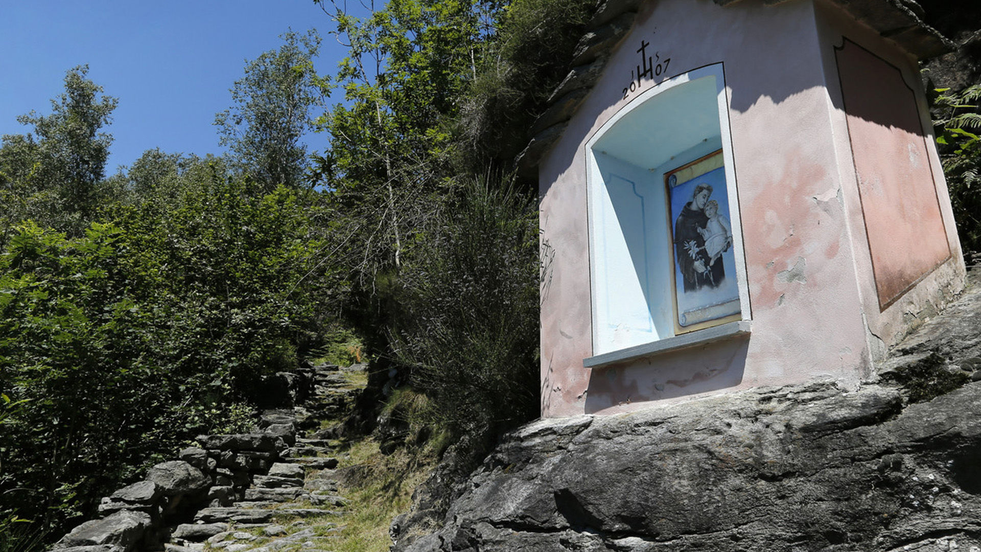
A long flight of steps leads from the old centre of Maggia village up to the chapel of Santa Maria della Pioda. You then pass vines (the location is unique), cross the old stone bridge (looking down is not recommended for those with vertigo!) and turn right at Bivio Voipo, where the red-and-white waymarked path into the Valle del Salto starts.
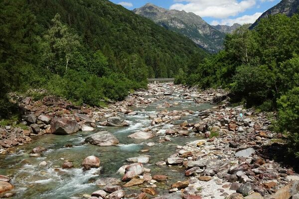
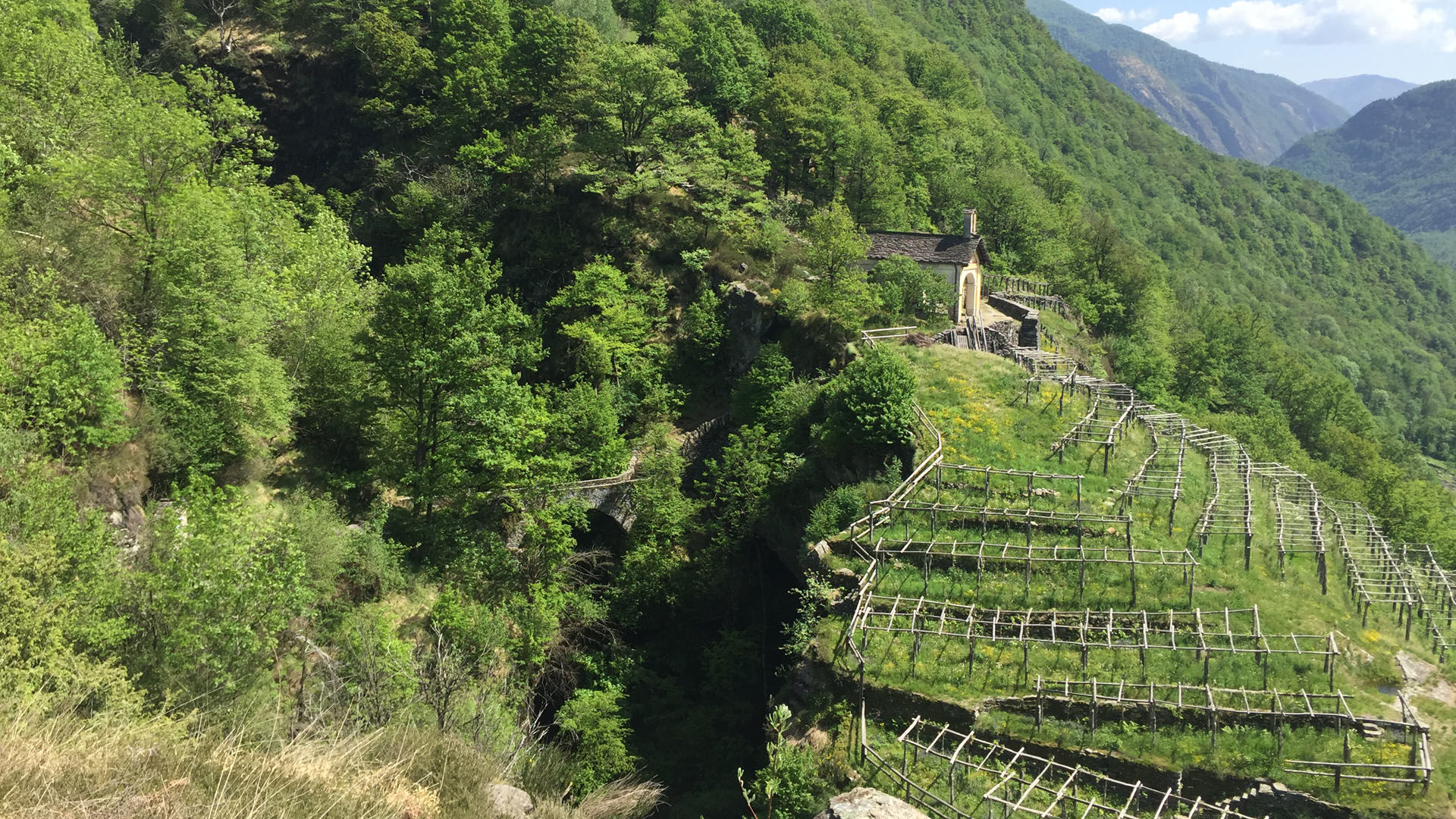
The steadily ascending path penetrates deep into this wild valley, passing rustici, some of which occupy the most impossible locations such as extremely steep slopes. You traverse Canaa on your way down to the little Maiasco dam.
Before descending, the path climbs again into the Valle di Ringio. Go down the iron steps to the starting point of the chapel of Santa Maria and back to Maggia (bus to Locarno according to timetable). The village has restaurants, and you could consider a dip in the pool at the foot of the glittering waterfall (Cascata del Salto).
- Directions
-
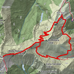
Maggia-I Pidèll-A Braiaa-La Còsta di Torzèd-A Talpígn-In Canaa d Zótt-In Rinsg-Cassinèla-In Òvia-Maggia
- Highest point
- 868 m
- Endpoint
-
Maggia
- Height profile
-
 © outdooractive.com
 - Equipment
-
Hiking daypack (approx. 20 liters) with rain cover
Comfortable and sturdy footwear
Adequate and durable outdoor clothing in multiple layers
Telescope sticks if necessary,
Sun and rain protection
Snacks and drinking water
First aid kit
Penknife
Mobile phone, headlight if necessary
Maps - Public transportation
-
From Locarno railway station: bus 315 towards Cavergno, Paese. Alight at Maggia, Centro. Return from Maggia, Centro: Take the bus 315 towards Locarno Stazione. Alight at Locarno station. Further information:


-

-
AuthorThe tour Giro della Valle del Salto (SvizzeraMobile 611) is used by outdooractive.com provided.


General info
-
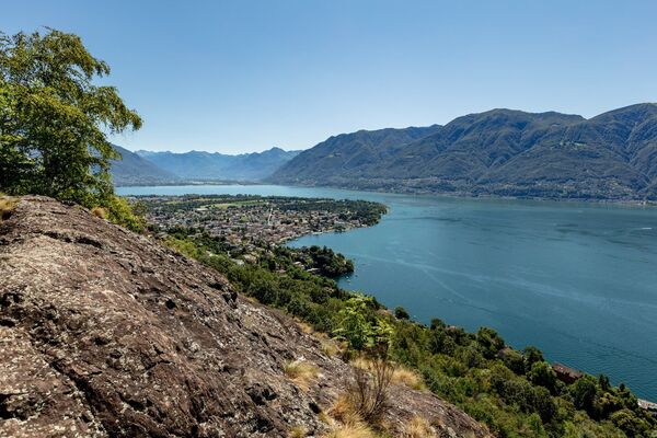
Lago Maggiore / Lombardei
745
-
Vallemaggia
501
-
Maggia TI
175