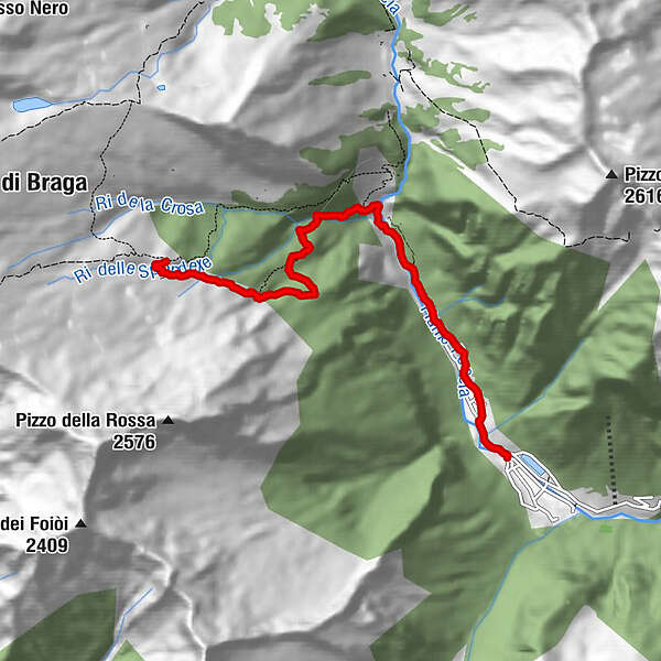
Stage 1: Piano di Peccia-Mountain hut Poncione di Braga


- Brief description
-
Red-and-white waymarked hike in the mountains of the Lavizzara valley
- Difficulty
-
medium
- Rating
-
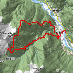
- Route
-
Piano di Peccia0.0 kmSt. Antonio0.6 kmIsola1.0 kmErta di Sgiümenta1.2 kmStangialgò1.8 kmCascata della Crosa3.5 kmCapanna Poncione di Braga5.9 km
- Best season
-
JanFebMarAprMayJunJulAugSepOctNovDec
- Description
-
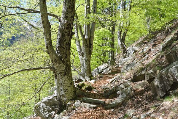
From Piano di Peccia (prior bus reservations: +41 (0)79 577 48 11), head along the road to the Ghéiba bridge, where there is a barrier. Cross the bridge: the path starts on the right. The route to the Poncione refuge negotiates many steps, first to the Corte di Fondo di Sròdan, then past the Grassa del Piatto.
The path climbs steadily, becoming quite steep from the Corte di Fondo di Scròdan. Nature, with its rich colours and tumbling streams, makes the effort worthwhile and fills one with energy.
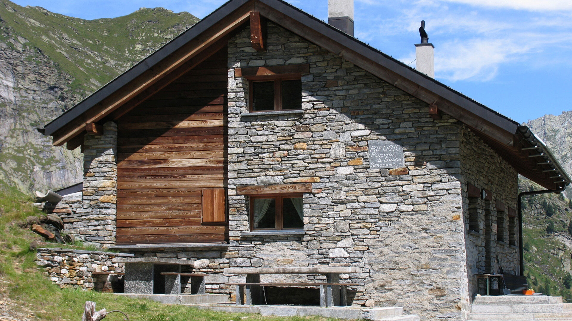
The Poncione di Braga refuge can be seen fairly early on; its panoramic terrace awaits. Though not attended, beverages are available to purchase.
- Highest point
- 1,996 m
- Height profile
-
 © outdooractive.com
 - Safety instructions
- Additional information
- Public transportation
-
From Locarno railway station: bus 315 towards Cavergno, Paese. Alight at Bignasco, Posta and change to 334 in direction Fusio, Paese. Alight at the bus stop Peccia, Paese. Bus 335 to Pian di Peccia. Call 10 minutes before departure (+41 79 577 48 11).
Return from Pian di Peccia: Bus 335 to Peccia, Paese. Call 40 minutes before departure (+41 79 577 48 11). Bus 334 to Bignasco, Posta. Take the bus 315 towards Locarno Stazione. Alight at Locarno station. Further information:
-

-
AuthorThe tour Stage 1: Piano di Peccia-Mountain hut Poncione di Braga is used by outdooractive.com provided.