
- Brief description
-
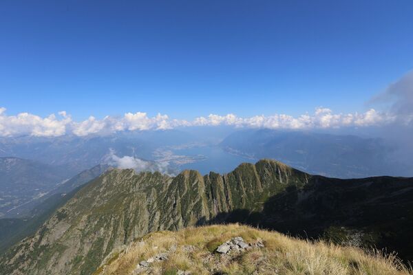
Two-day tour from Vallemaggia to the Verzasca Valley, for both fitness and spirit. The silence and the natural beauty far above the valley bottom are unique.
- Difficulty
-
medium
- Rating
-
- Starting point
-
Maggia
- Route
-
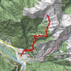
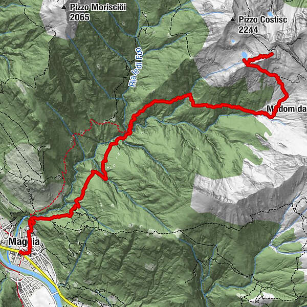
Moghegno (319 m)0.1 kmSnack Bar Chito0.2 kmMaggia (372 m)0.3 kmCascata del Salto1.0 kmIn Òvia1.1 kmIn Rinsg Garzöö3.6 kmIn Canaa d Z’ott3.9 kmIn Mai’asc’4.8 kmLa Sèla5.2 kmIn Sommai’asc’5.5 kmIn Poèe6.2 kmIn Adèva7.8 kmAl Bög8.7 kmLa Pi’anc’a9.4 kmAl Masnèe10.1 kmCapanna Alpe Masnee (2,063 m)10.1 km
- Best season
-
JanFebMarAprMayJunJulAugSepOctNovDec
- Description
-
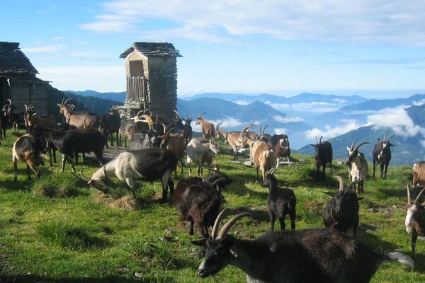
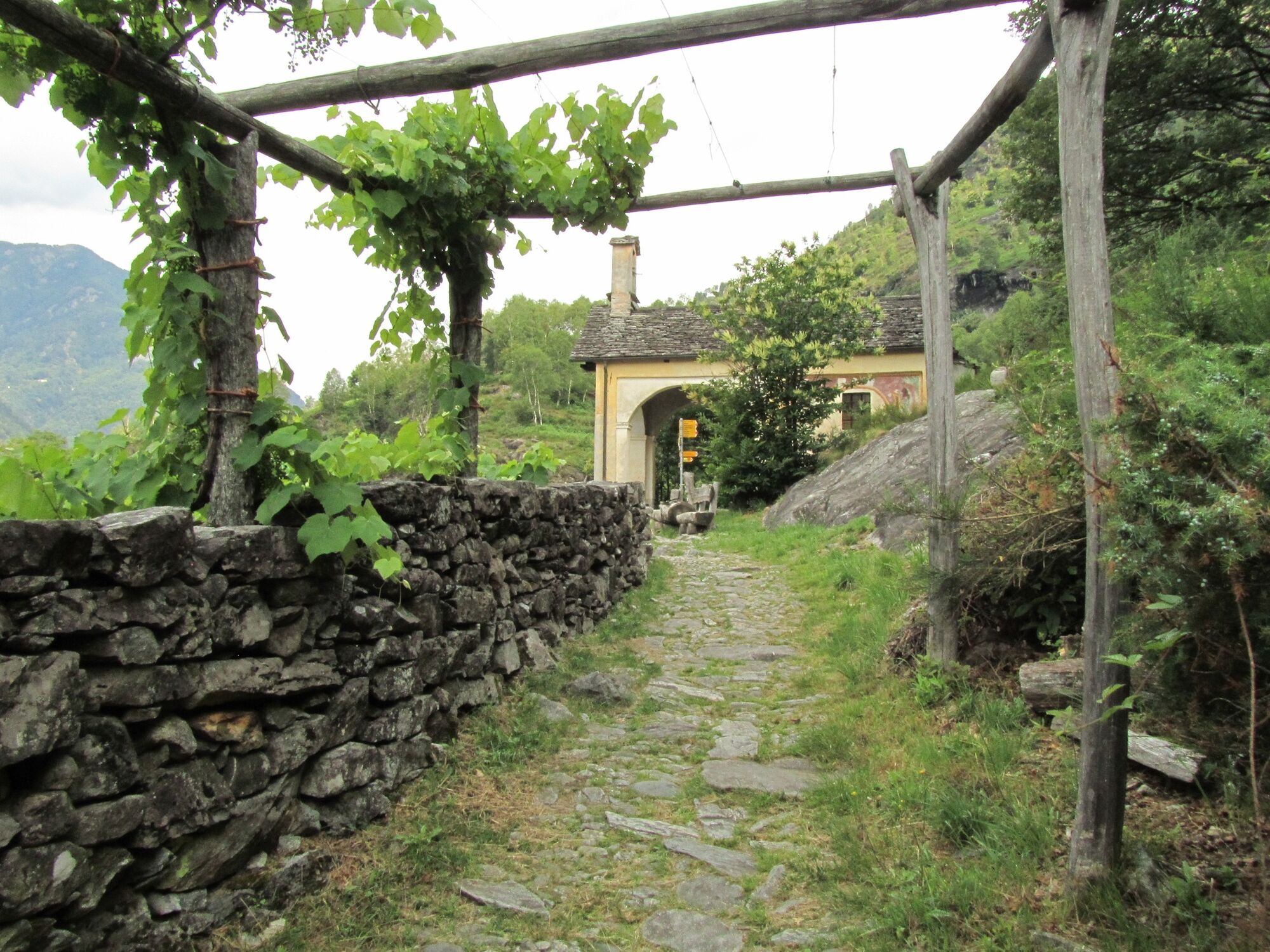
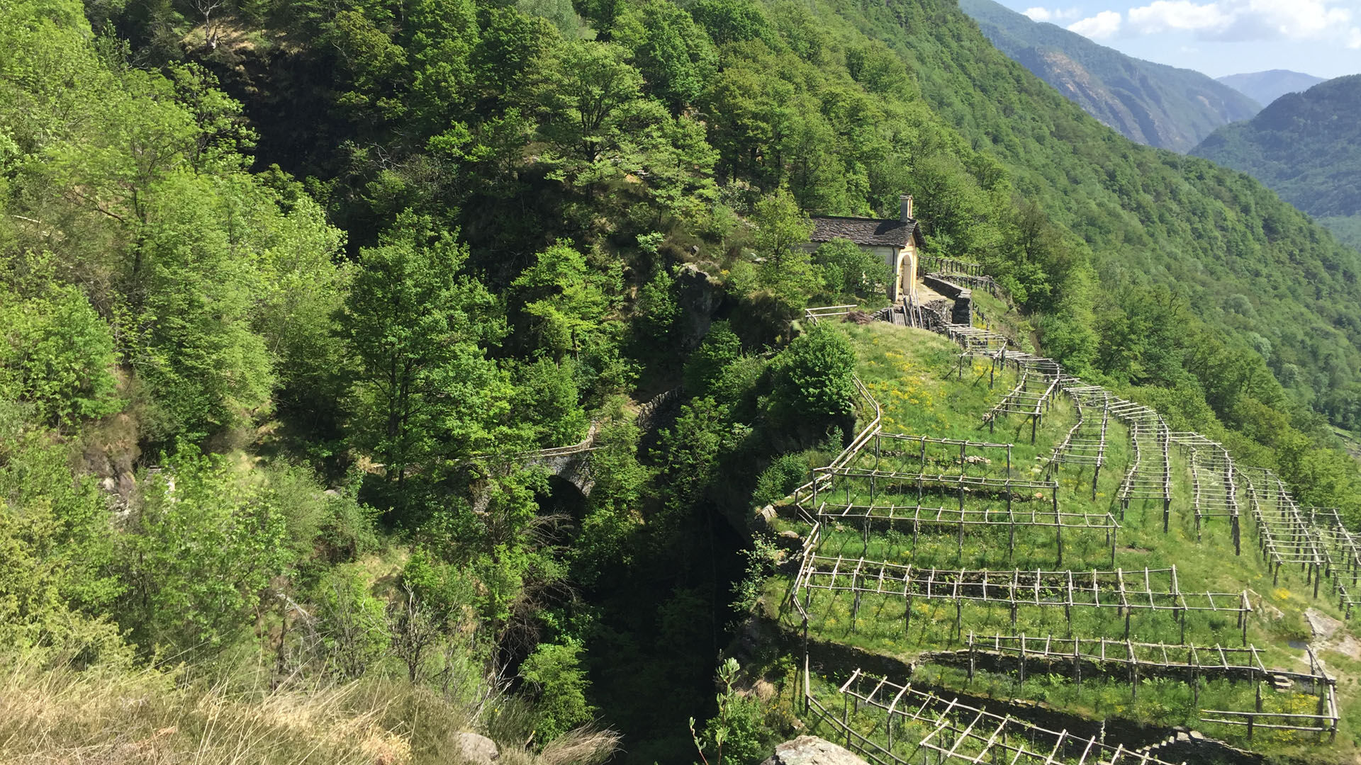
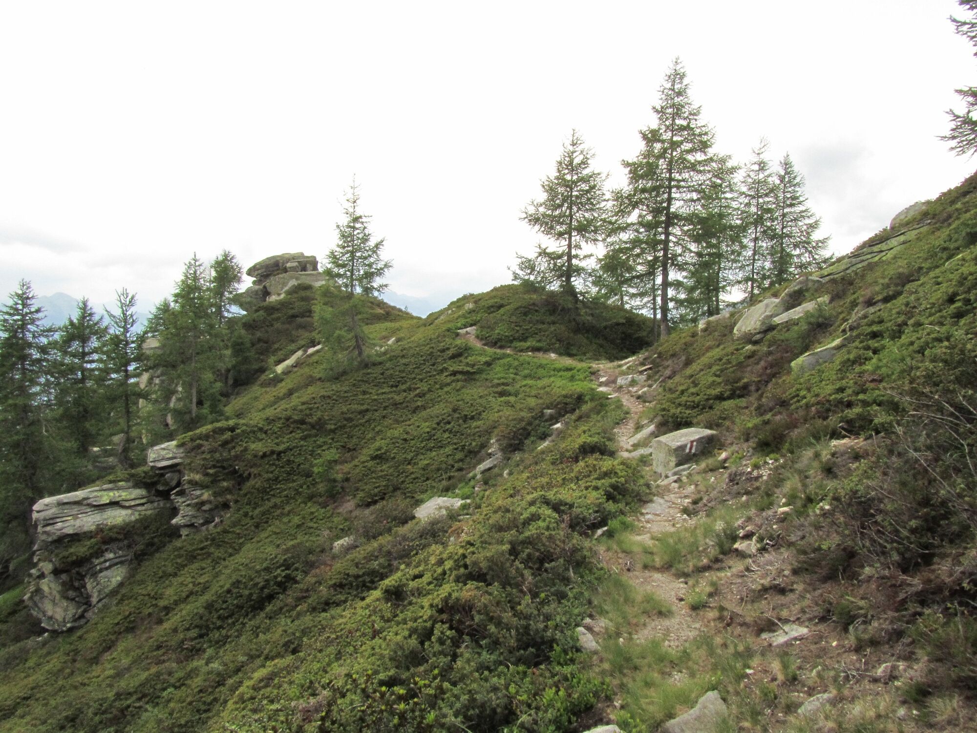
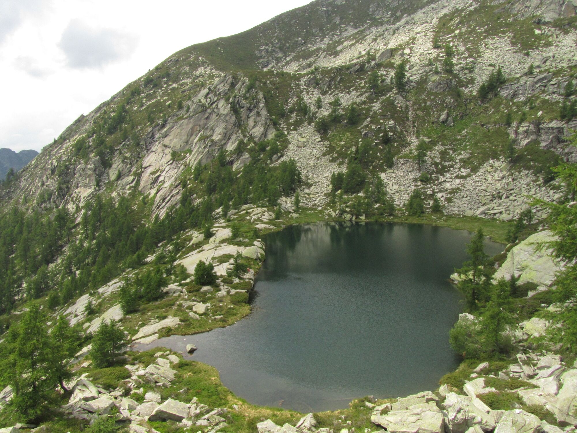
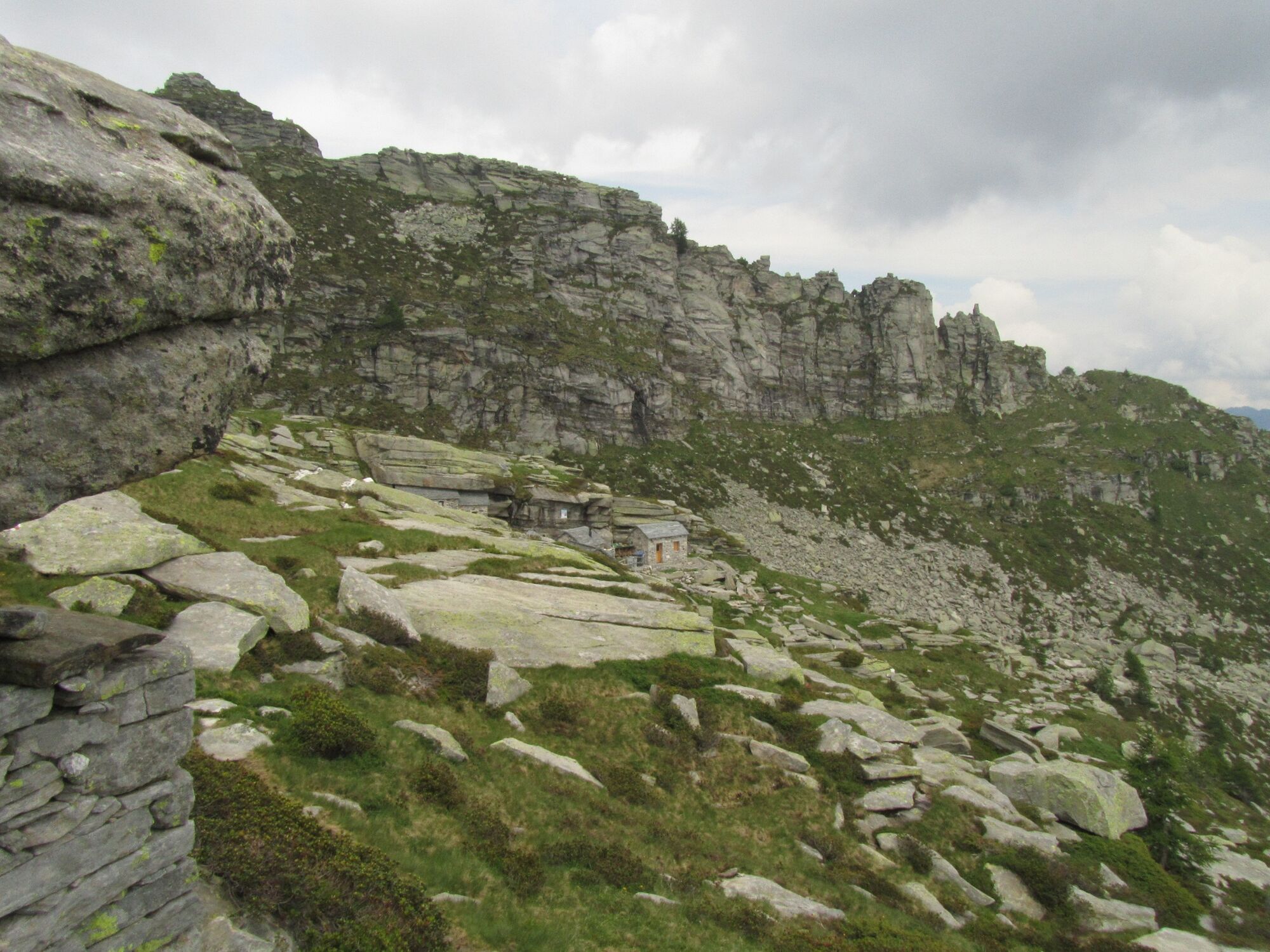
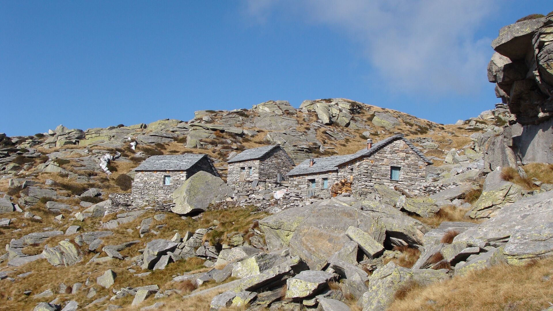
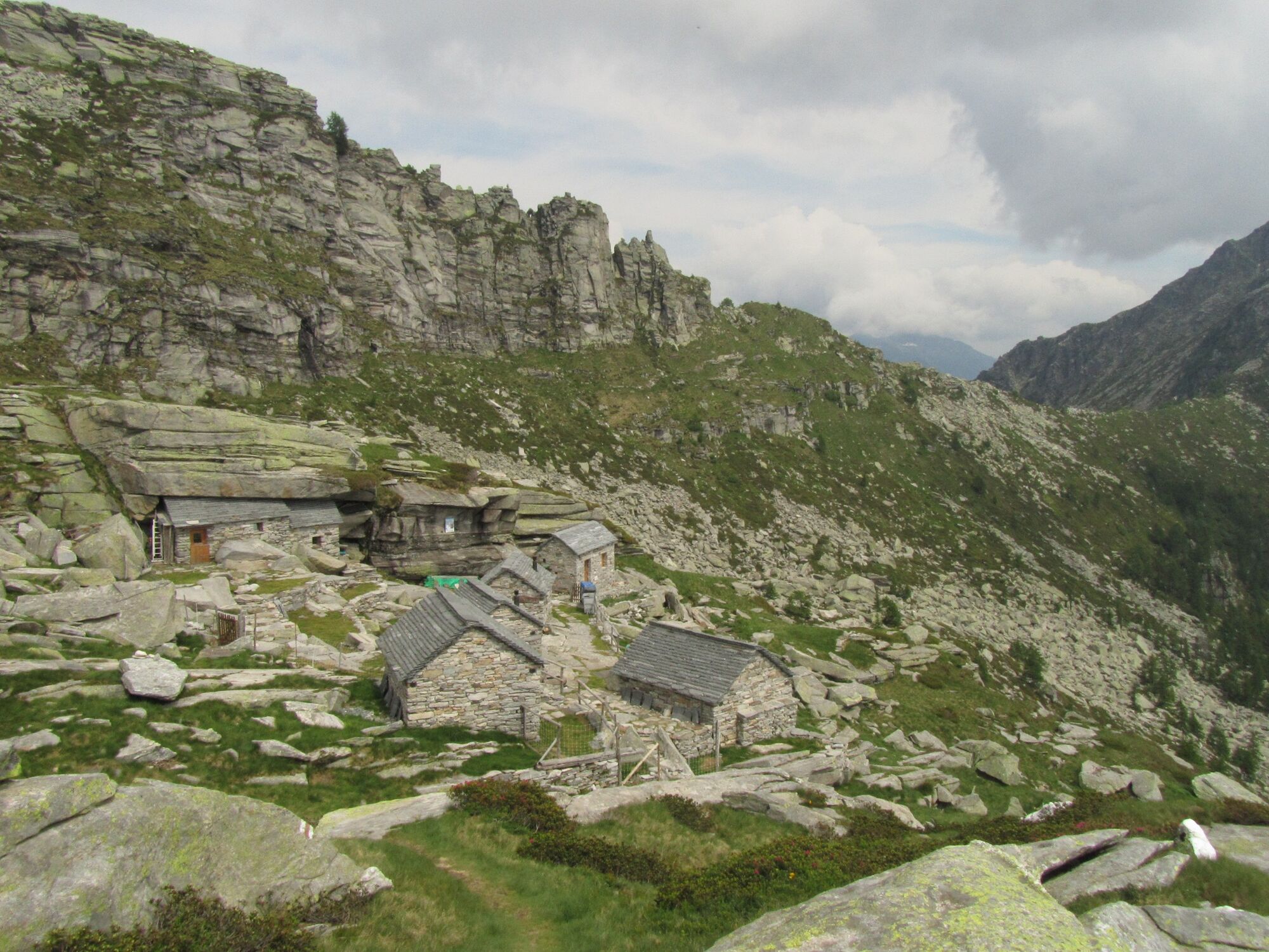
From far away you can see the pretty chapel of Pioda, above Maggia, surrounded by vines. The tour starts with many stone steps and leads exactly to this chapel. Along the way, the sound of the picturesque Cascata del Salto waterfall, which thunders down into the valley just a stone's throw away, accompanies you. Now you walk through the fairytale-like and mostly shady Valle del Salto into the valley until you reach its end. Now the real ascent begins. Passing various hamlets, you enter more and more alpine territory and nature becomes increasingly wild. The last stretch is once again very steep, but you are rewarded with a pretty mountain lake, the Laghetto di Pianca, shortly before arriving at your destination for the day. Gather your strength and climb the remaining metres to the hut. The Rifugio Alpe Masnee consists of six stone huts where you can spend the night and have cooking facilities. The seclusion makes this place a unique oasis of well-being surrounded by peaks.
- Directions
-
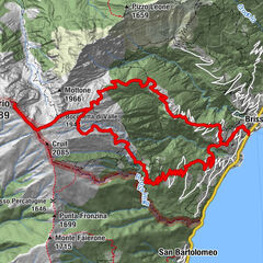
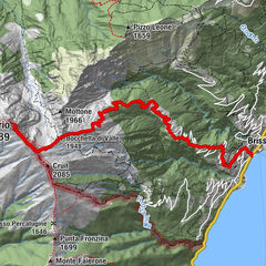
Maggia-La Samaritána-In Òvia-Al Pontíd-Cassinèla-In Rinsg-In Máiasc-In Poèe-In Adèva-Al Bog-Laghetto di Pianca-Rifugio Alpe Masnee
- Highest point
- 2,066 m
- Endpoint
-
Rifugio Alpe Masnee
- Height profile
-
 © outdooractive.com
 - Equipment
-
Trekking backpack (approx. 50 liters) with rain cover
Comfortable and sturdy footwear, second pair of shoes / sandals if necessary
Adequate and durable outdoor clothing in multiple layers
Change of clothes,
Telescope sticks
Sun and rain protection
Snacks and drinking water
First aid kit
Penknife
Mobile phone
Headlight
Maps
Travel documents
Toilet bag and travel towel, travel detergent and clothesline, camping equipment if necessary (tent, sleeping mat, sleeping bag, cooking equipment), hut equipment if necessary - Safety instructions


-

-
AuthorThe tour Stage 1: Maggia-Rifugio Alpe Masnee is used by outdooractive.com provided.


General info
-
Lago Maggiore / Lombardei
745
-
Vallemaggia
501
-
Maggia TI
175