- Difficulty
-
medium
- Rating
-
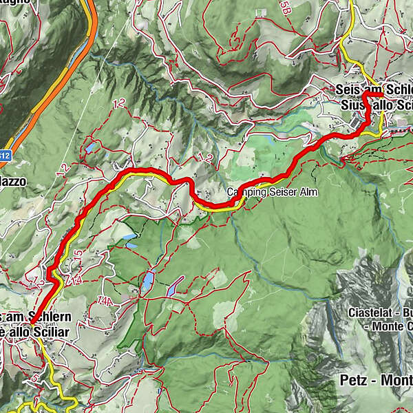
- Route
-
Seis am SchlernSt. Konstantin (900 m)4.4 kmSt. Anton6.2 kmSt. Anton (875 m)6.4 kmVöls am Schlern7.0 km
- Best season
-
JanFebMarAprMayJunJulAugSepOctNovDec
- Description
-
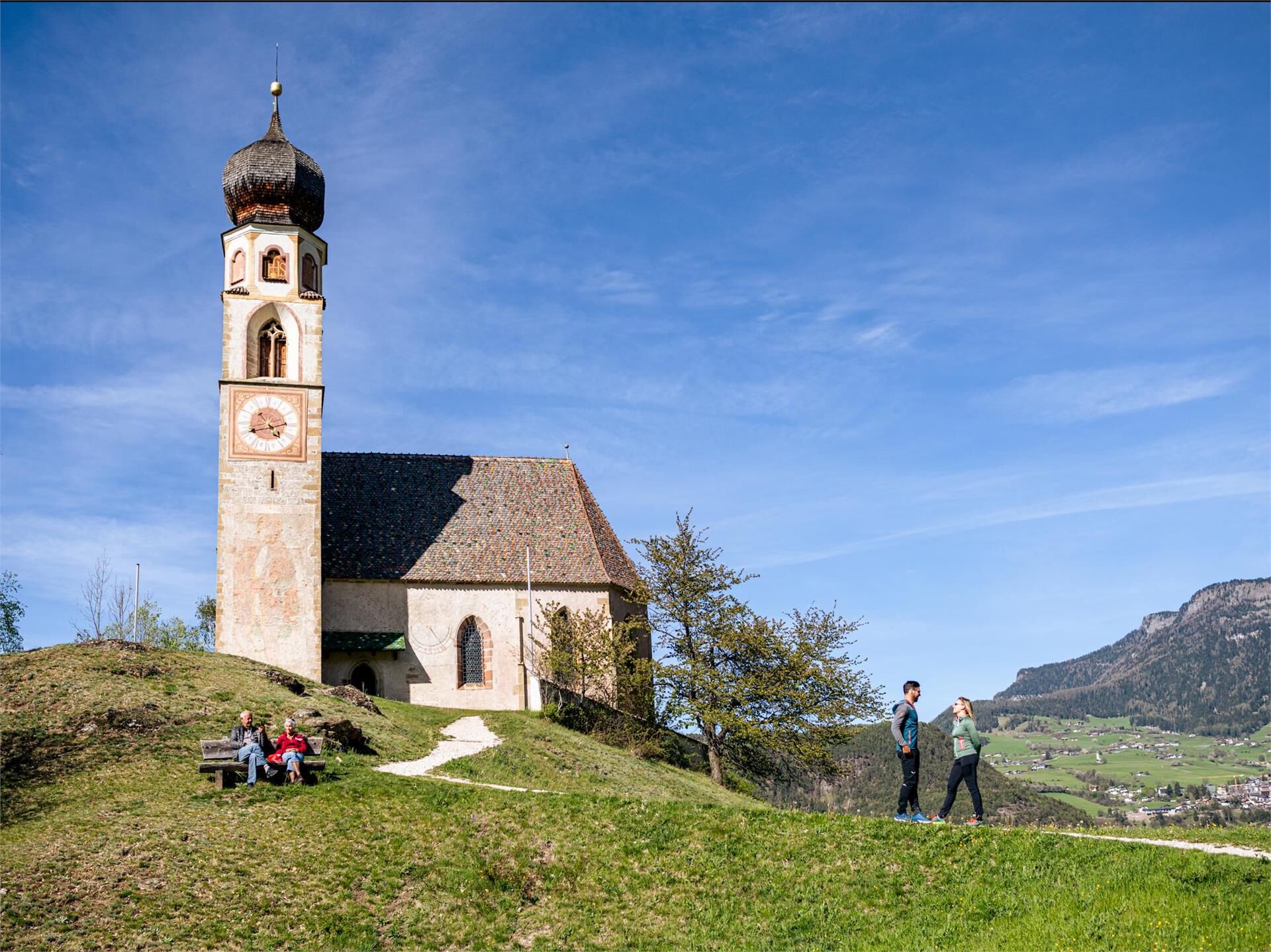
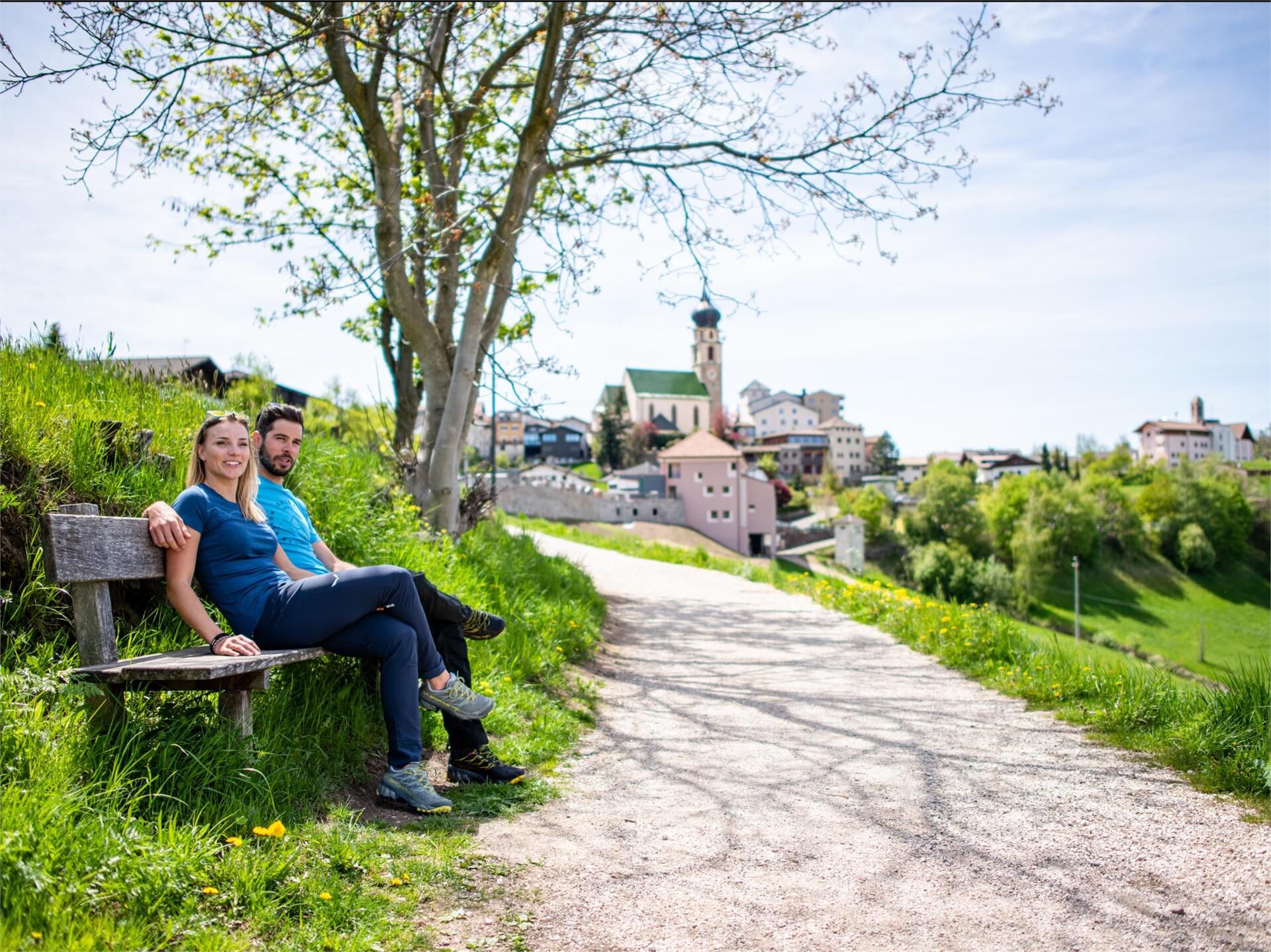
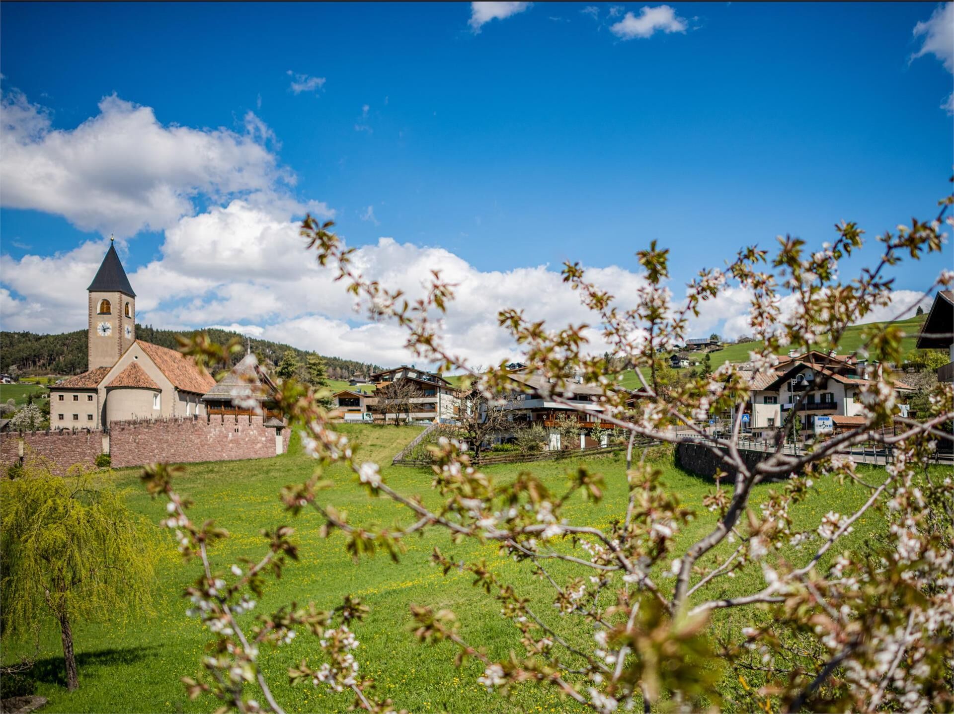
The leisurely hike leads through meadows and forests without any significant difference in altitude starting from Seis, past St. Konstantin and St. Anton to reach Völs.
- Directions
-
Starting point is the roundabout in the center of Seis. We follow the main road towards Völs, pass the valley station of the Seiser Alm cable car and reach the entrance to the artisan zone. Here we cross the road and turn right onto the hiking trail no. 11. It leads partly through the forest and across meadowland. We hike past the church of St. Konstantin and arrive in the artisan zone of St. Anton. Always following hiking trail no. 11, we finally reach Völs am Schlern. We can return by bus no. 170.
(also recommended in the opposite direction, beginning in Völs)
Please check the opening hours of the huts and restaurants: www.seiseralm.it/restaurants
- Highest point
- 996 m
- Height profile
-
 © outdooractive.com
 - Directions
-
The bus no. 170 will take you from Kastelruth or Völs am Schlern to the starting point in Seis am Schlern. Parking is also available in the centre of Seis am Schlern.
- Public transportation
-
The starting point of the tour or the sight is easily and comfortably accessible by public transport:
The bus no. 170 will take you from Kastelruth or Völs am Schlern to the starting point in Seis.
- Author
-
The tour Hike from Seis to Völs is used by outdooractive.com provided.


-
Bozen und Umgebung - Südtirols Süden
1948
-
Seiser Alm
1143
-
Völs am Schlern
386