- Difficulty
-
medium
- Rating
-
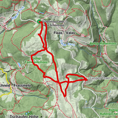
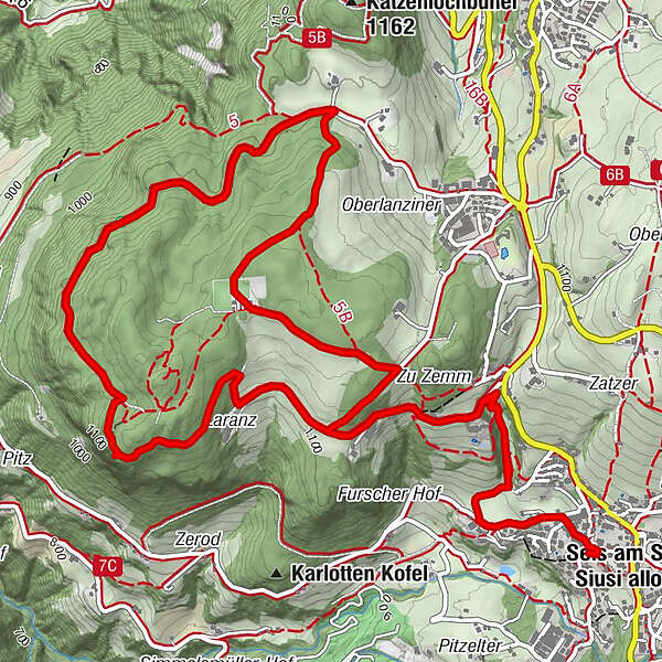
- Route
-
Seis am Schlern0.0 kmKönigswarte3.3 kmSeis am Schlern9.6 km
- Best season
-
JanFebMarAprMayJunJulAugSepOctNovDec
- Description
-
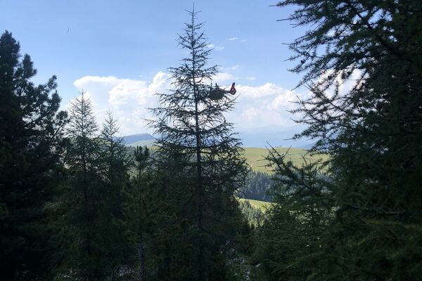
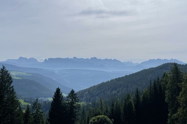
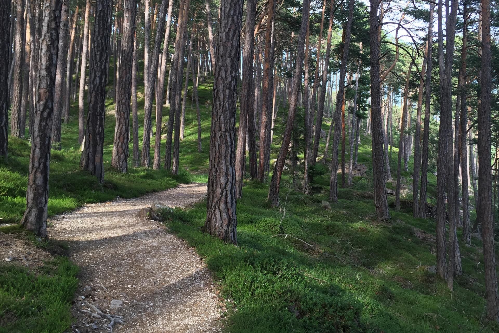
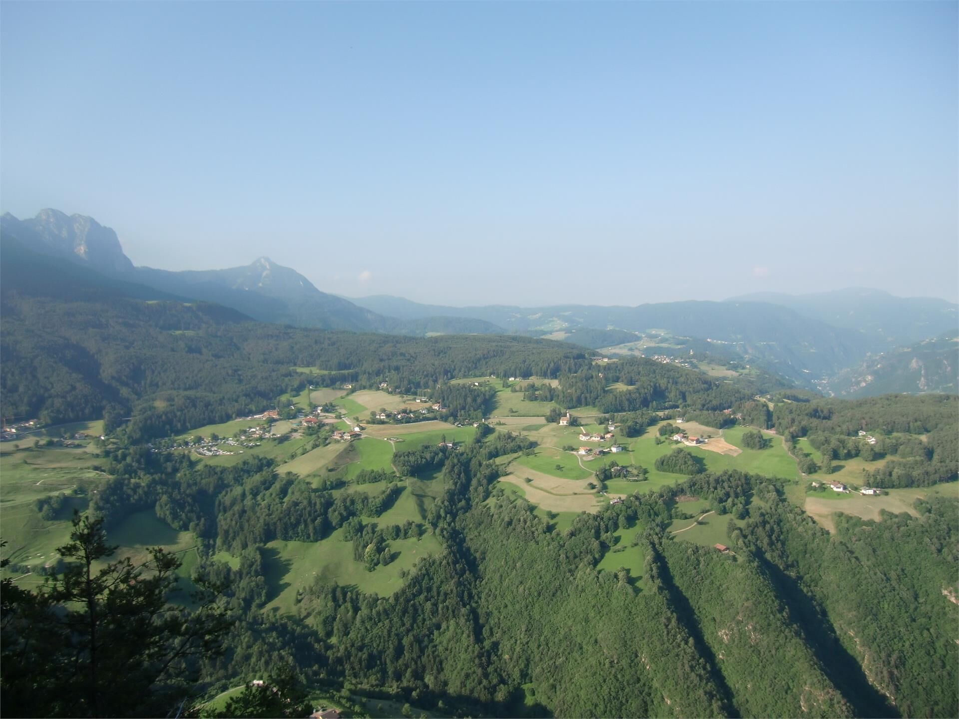
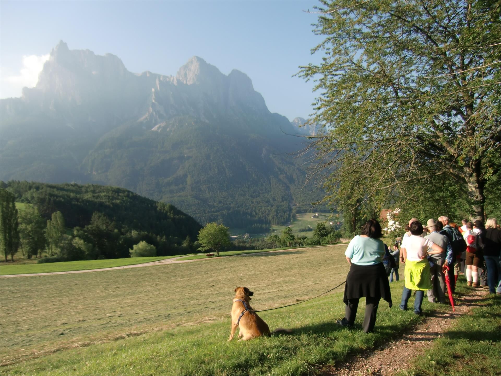
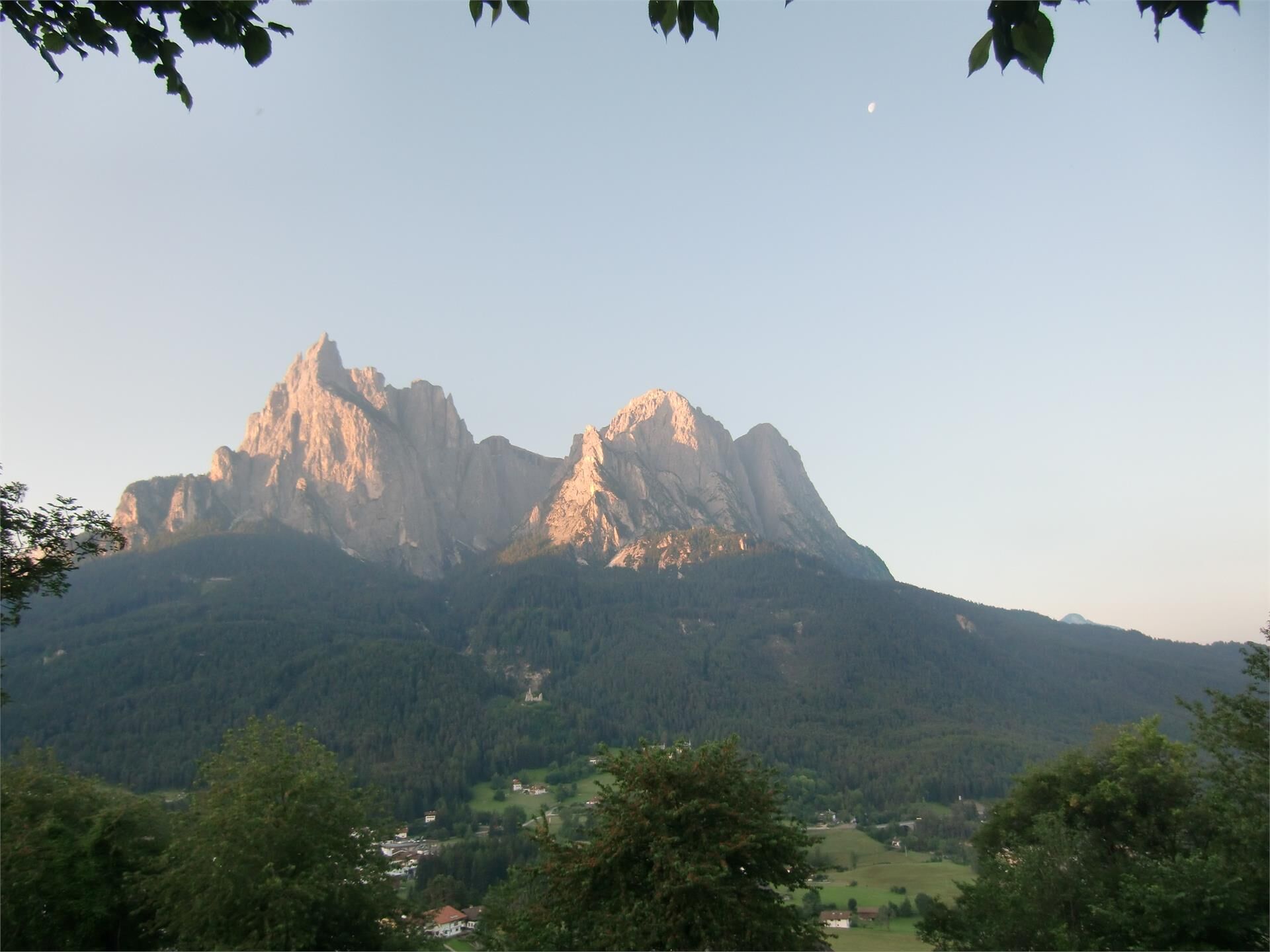
This leisurely walk through the Laranz forest is pure idyllic perfection for hikers: fresh, woody air, a Dolomite panorama and a view fit for a king from the Königswarte (“King’s view“), far and wide over the Eisack Valley and the Ritten plateau.
- Directions
-
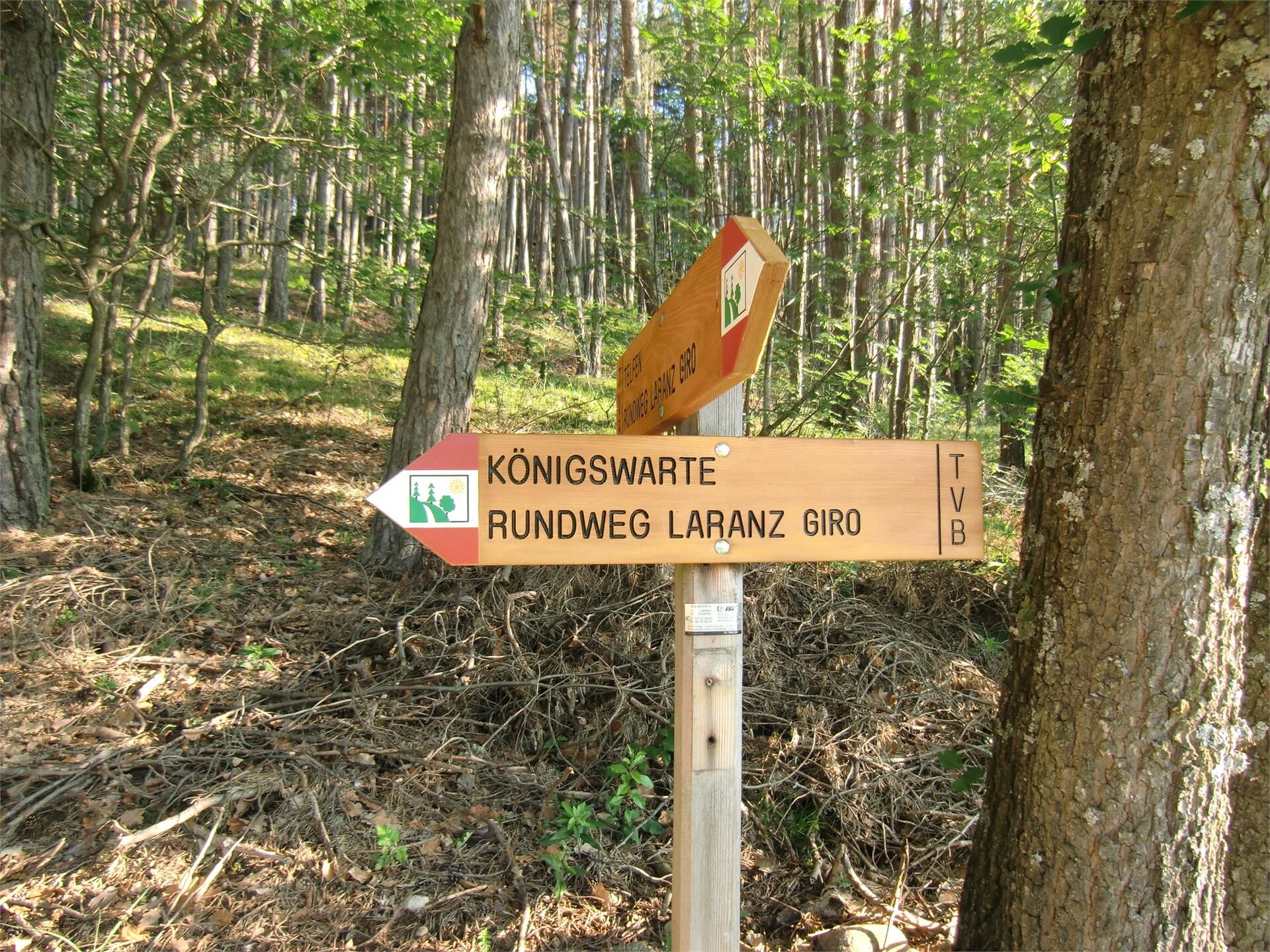
The hike begins at the Visitor Center of the Nature Park Schlern-Rosengarten in the center of Seis am Schlern. From here, first follow the road towards St. Oswald, turn right at the Peterlunger farm onto hiking trail no. 7A and from then on follow the signs towards “Königswarte/Rundweg Laranz” (King’s View/Circular route Laranz). The hike can be done as a circular route - as an alternative, you can hike from the Laranz sports field to Telfen and return to Seis with bus lines no. 170, 172 and 177 or with shuttle bus no. 3.
Please check the opening hours of the huts and restaurants: www.seiseralm.it/restaurants
- Highest point
- 1,164 m
- Height profile
-
 © outdooractive.com
 - Directions
-
The bus no. 170 will take you from Kastelruth or Völs am Schlern to the starting point in Seis am Schlern. Parking is also available in the centre of Seis am Schlern.
- Public transportation
-
The starting point of the tour is easily and comfortably accessible by public transport (busstop Seis bus terminal).
- Parking
-
There is an underground parking place behind the petrol station ESSO in Seis (chargeable).
- Author
-
The tour From Seis through the Ganar Valley into the Laranz Forest is used by outdooractive.com provided.


-
Bozen und Umgebung - Südtirols Süden
1949
-
Seiser Alm
1141
-
Kastelruth
418