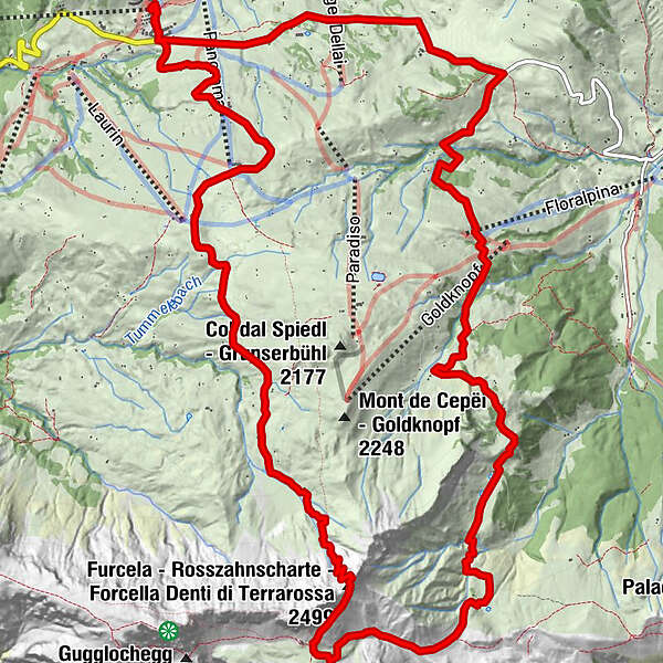
Seis, Seiser Alm, Saltria, Mahlknechtjoch, Rosszahnscharte, retour 23.06.2016

Hiking
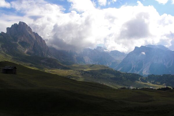
© hel
© hel
© hel
© hel
© hel
© hel
© hel
© hel
© hel
© hel
Tour data
18.9km
1,830
- 2,498m
725hm
725hm
07:00h
- Brief description
-
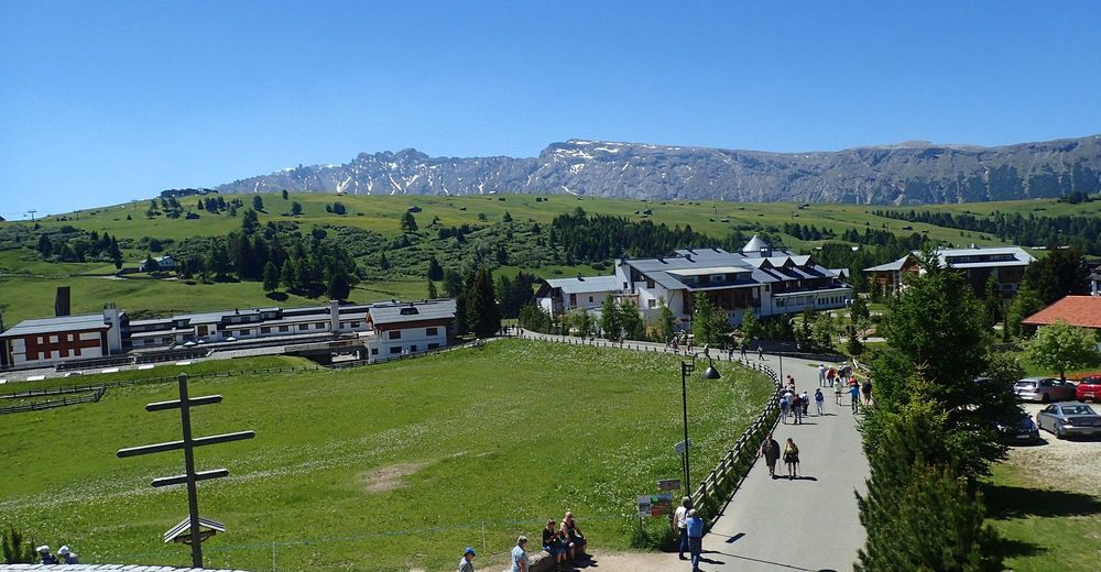
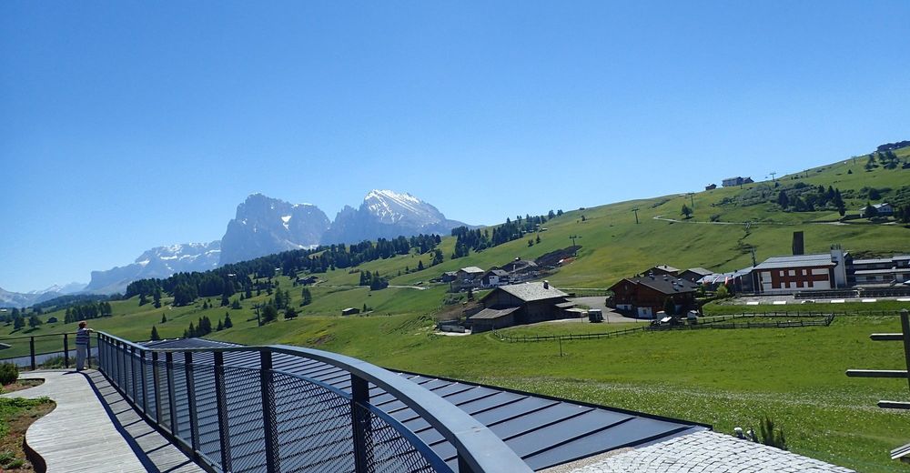
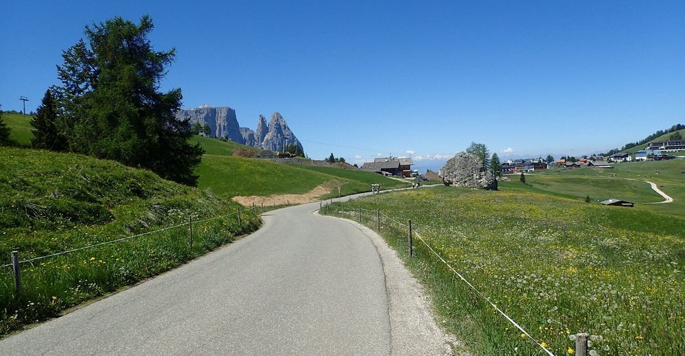
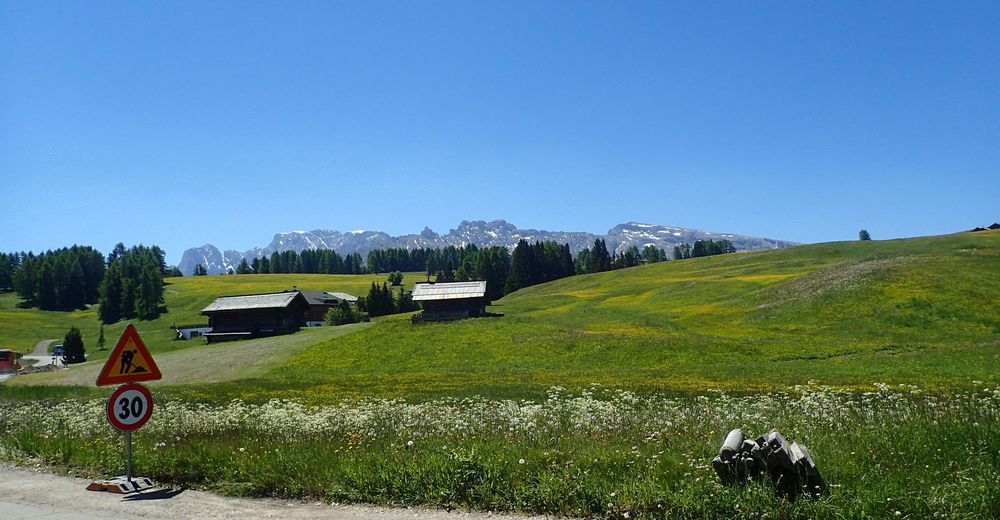
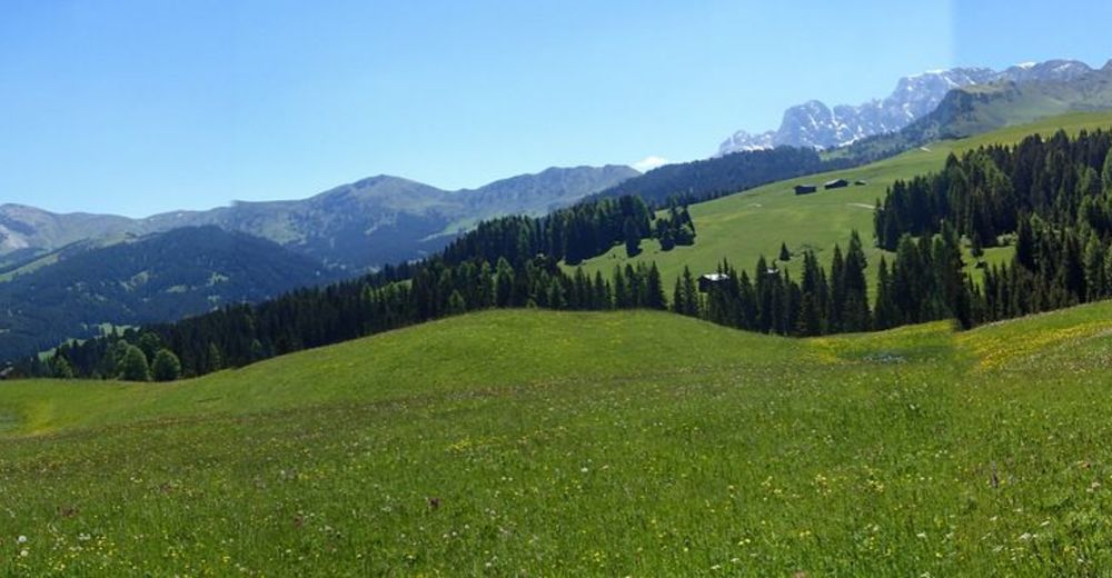
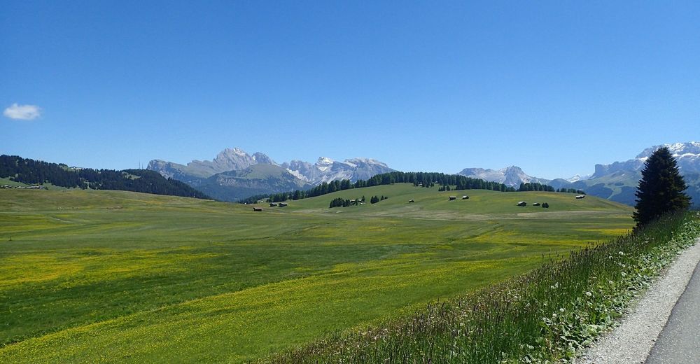
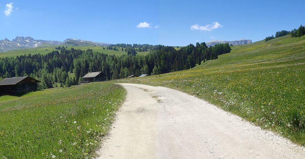
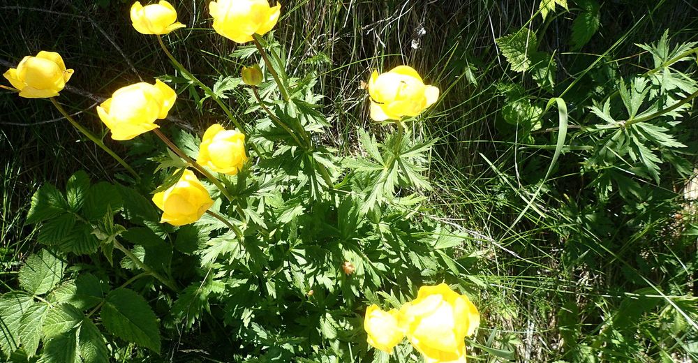
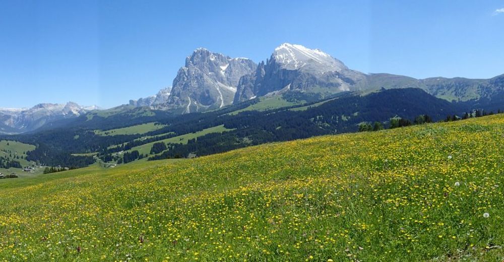
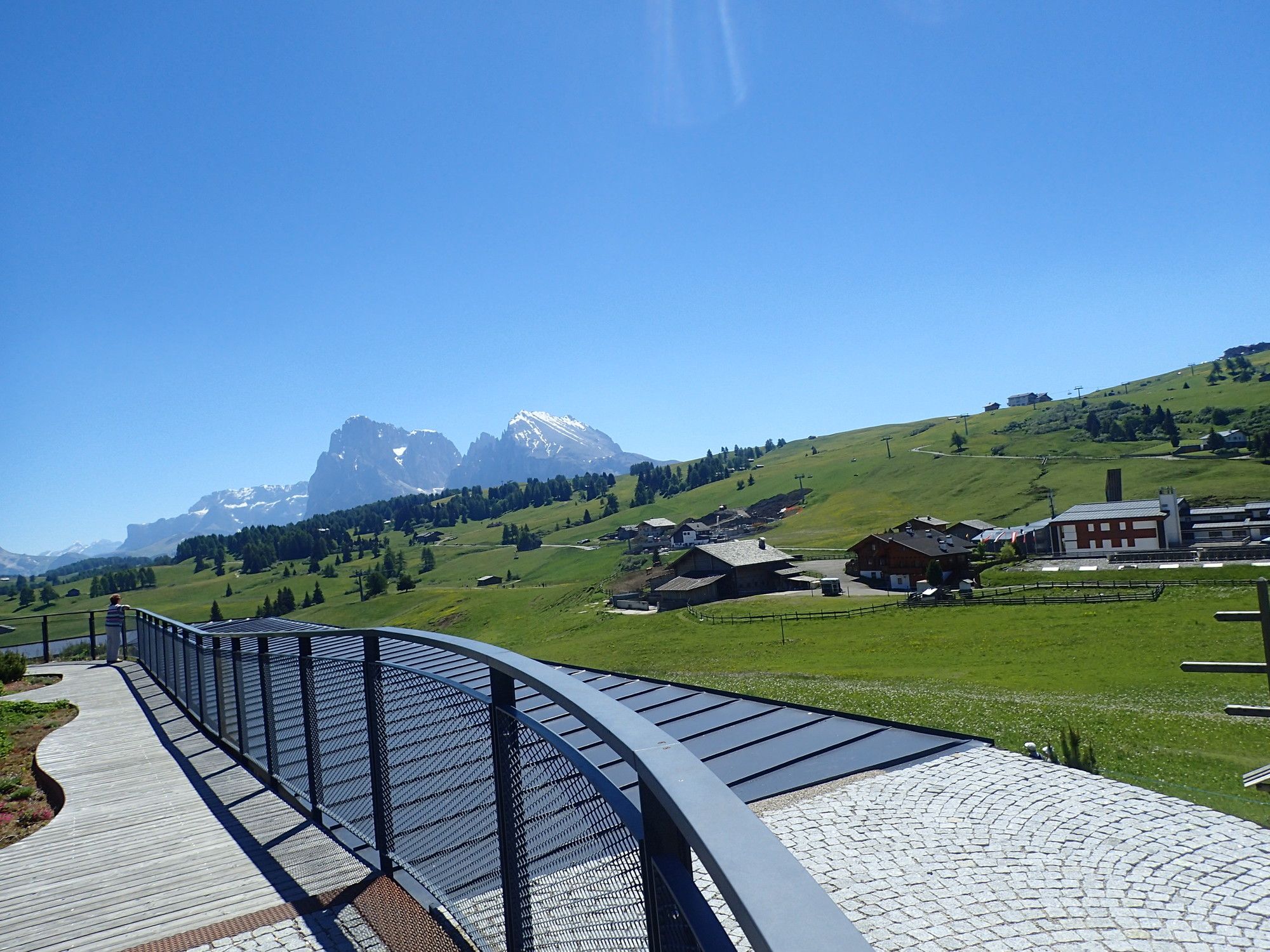
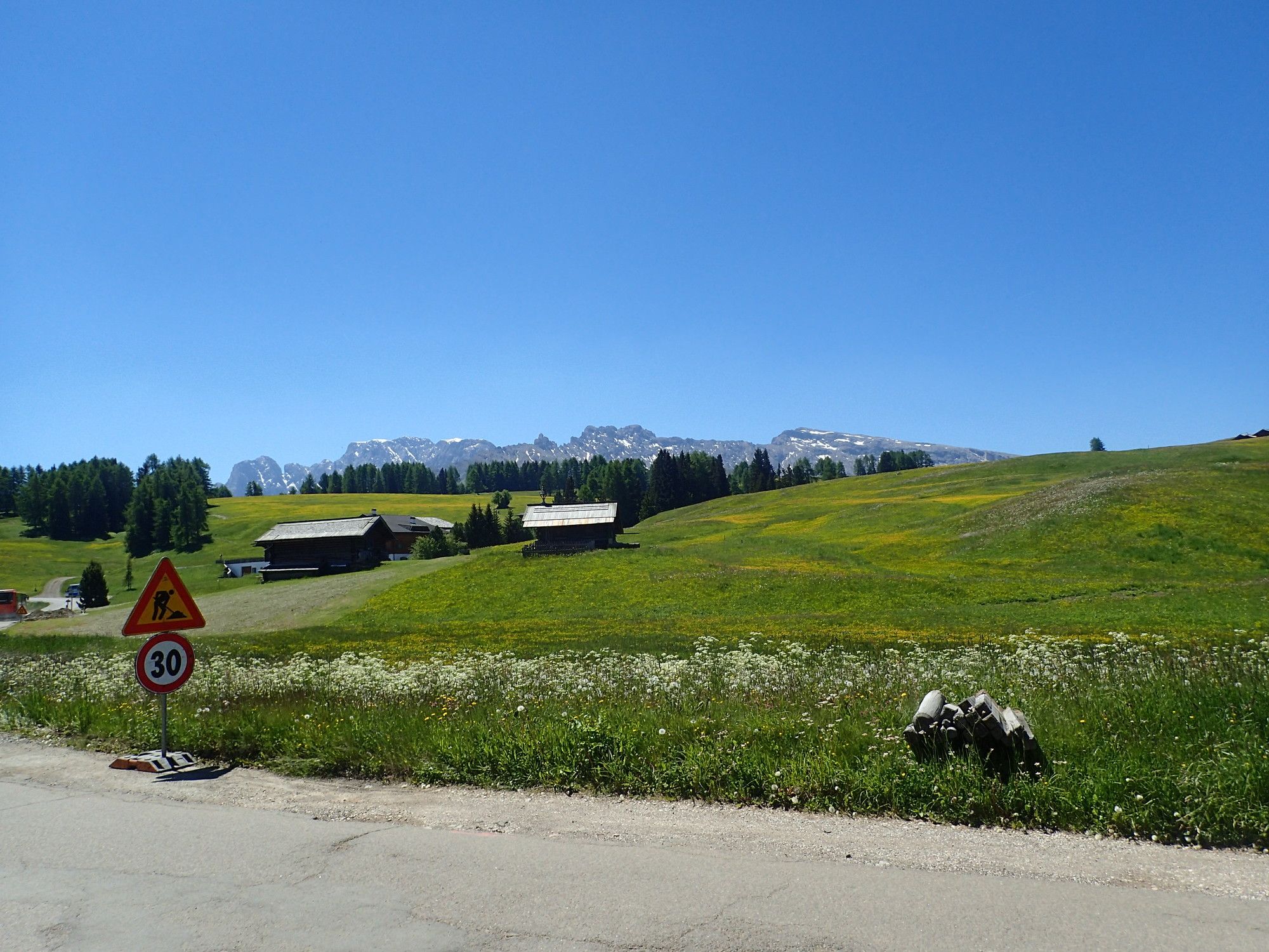
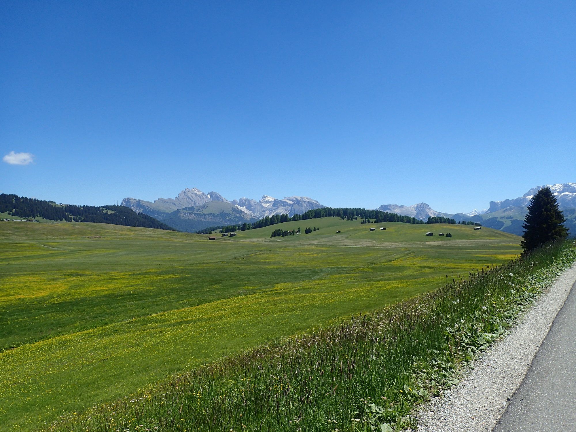
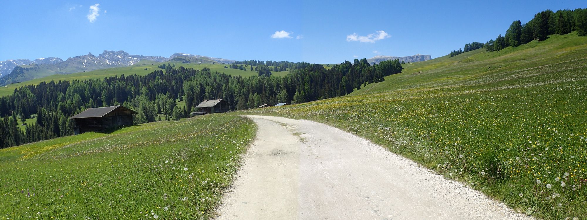
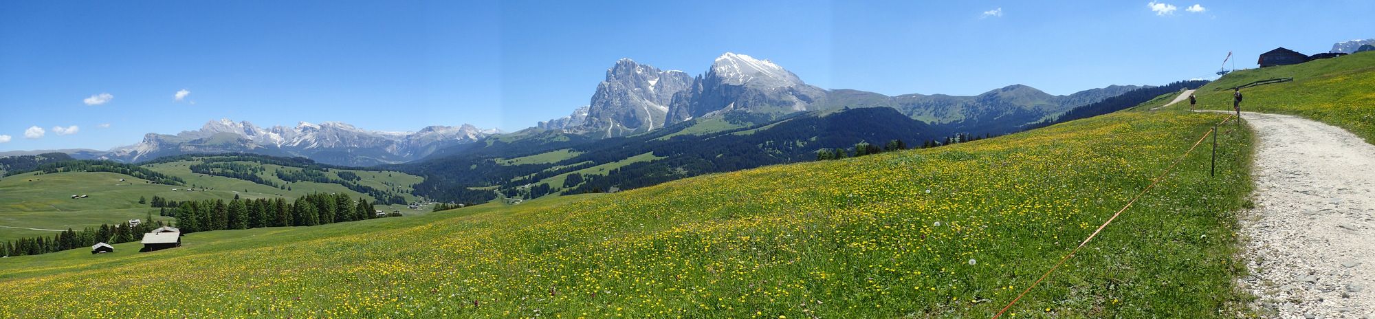
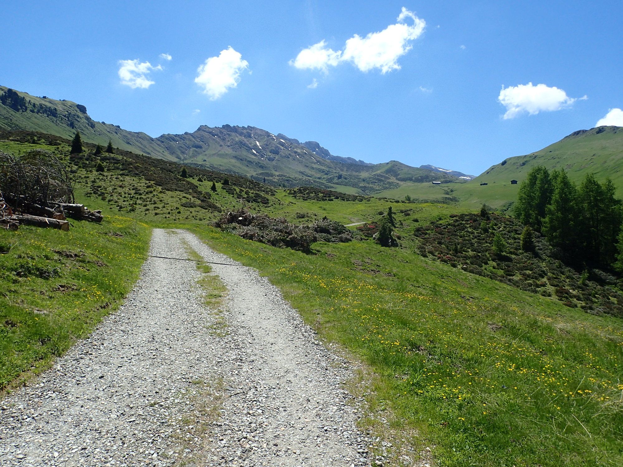
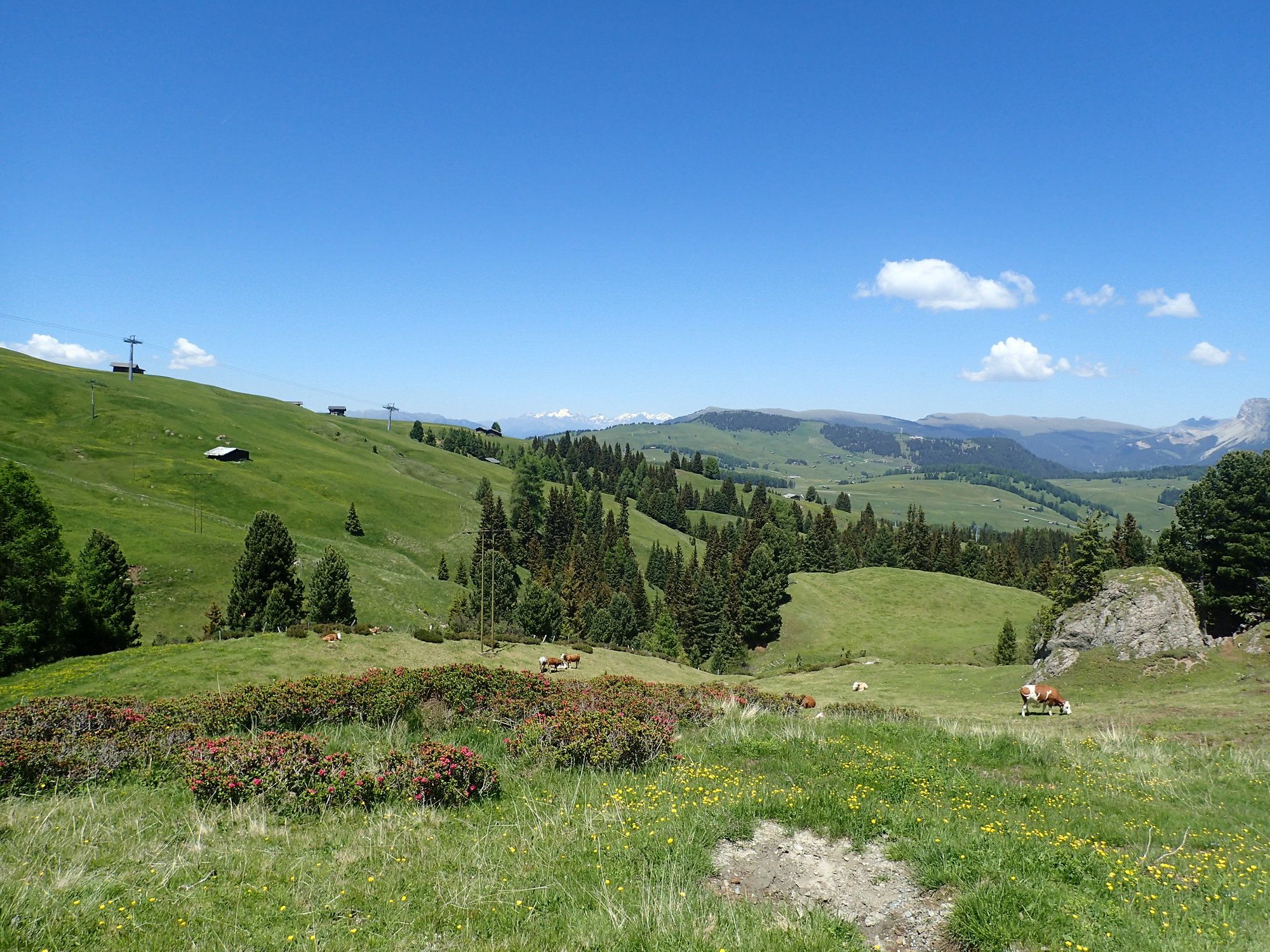
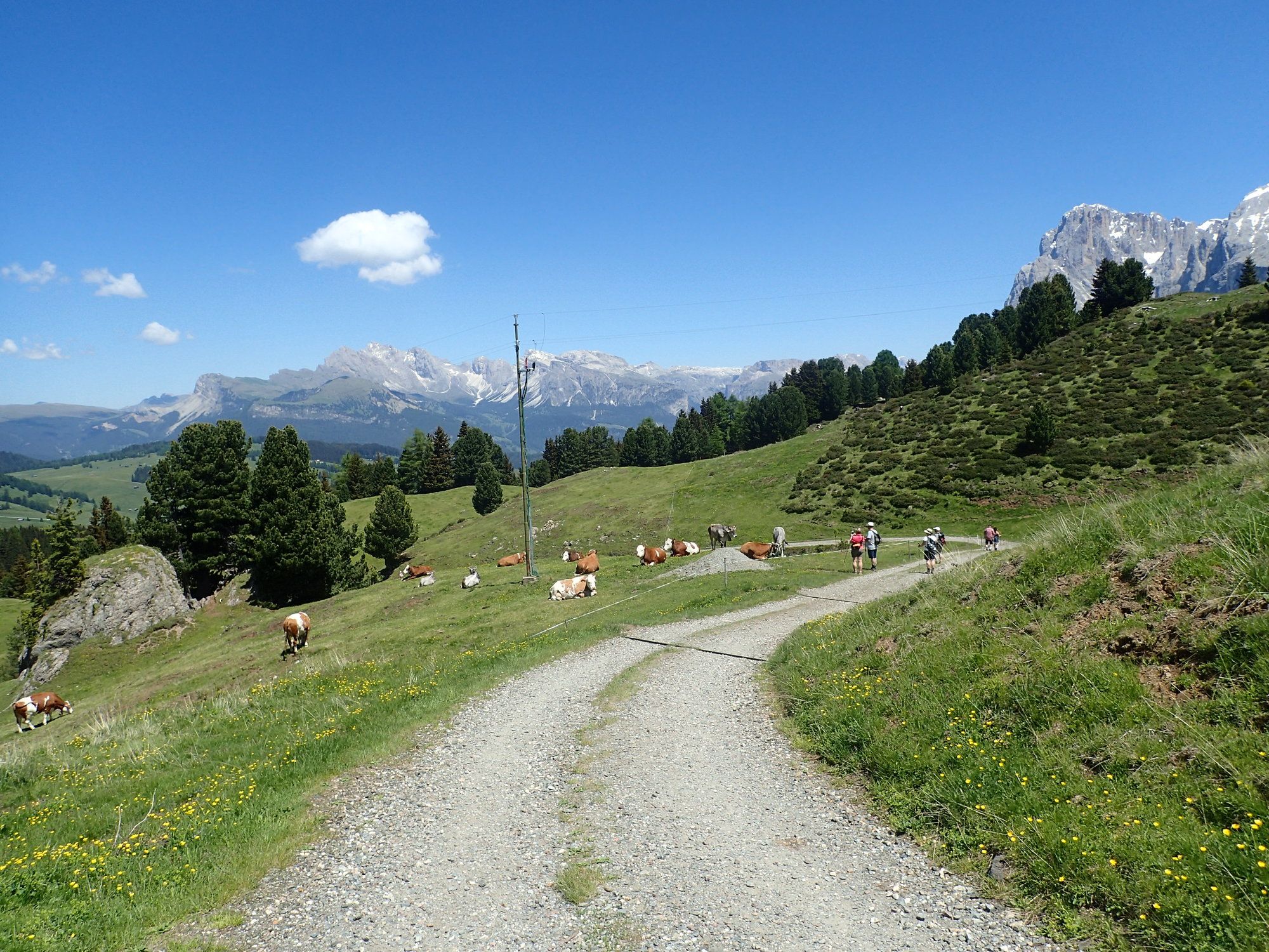
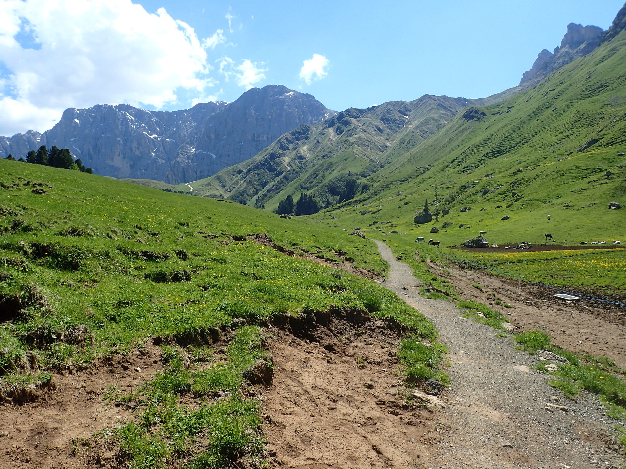
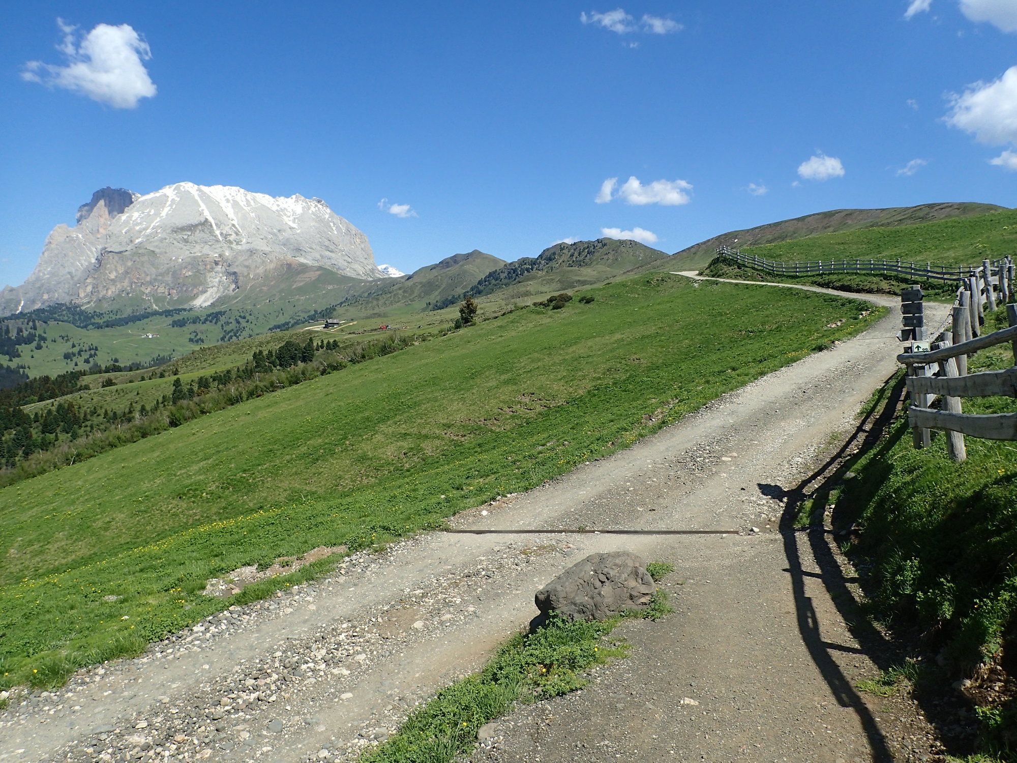
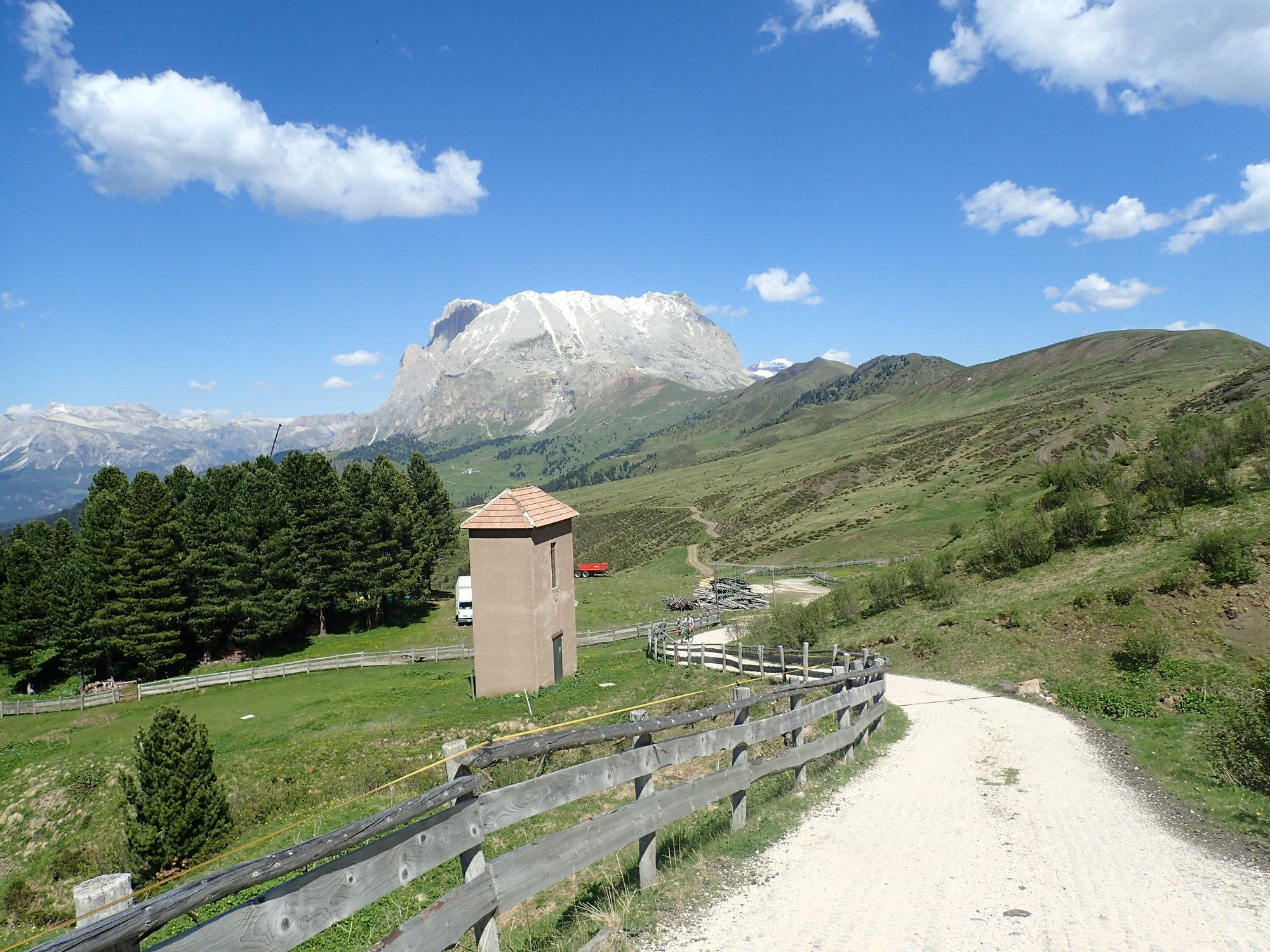
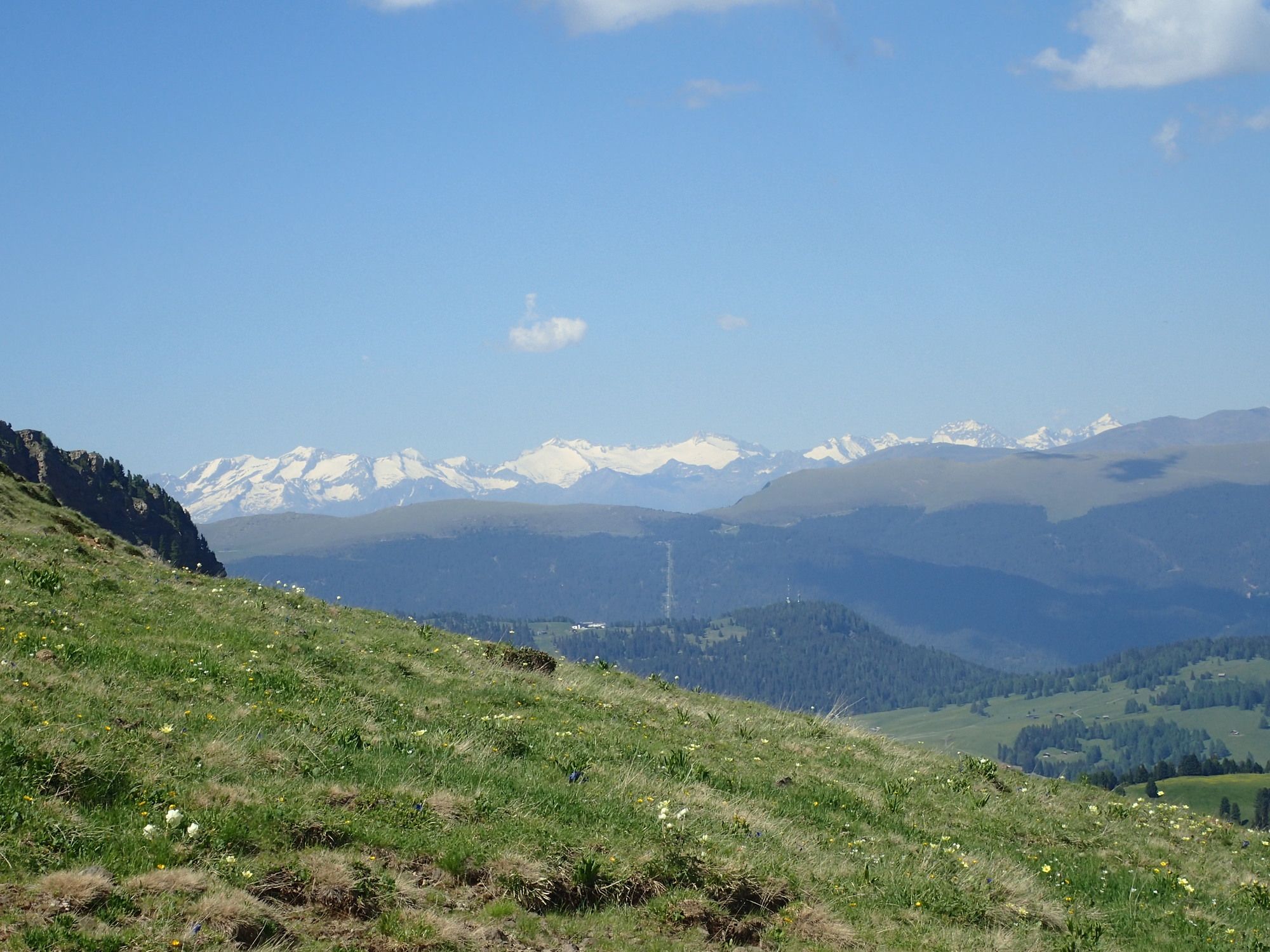
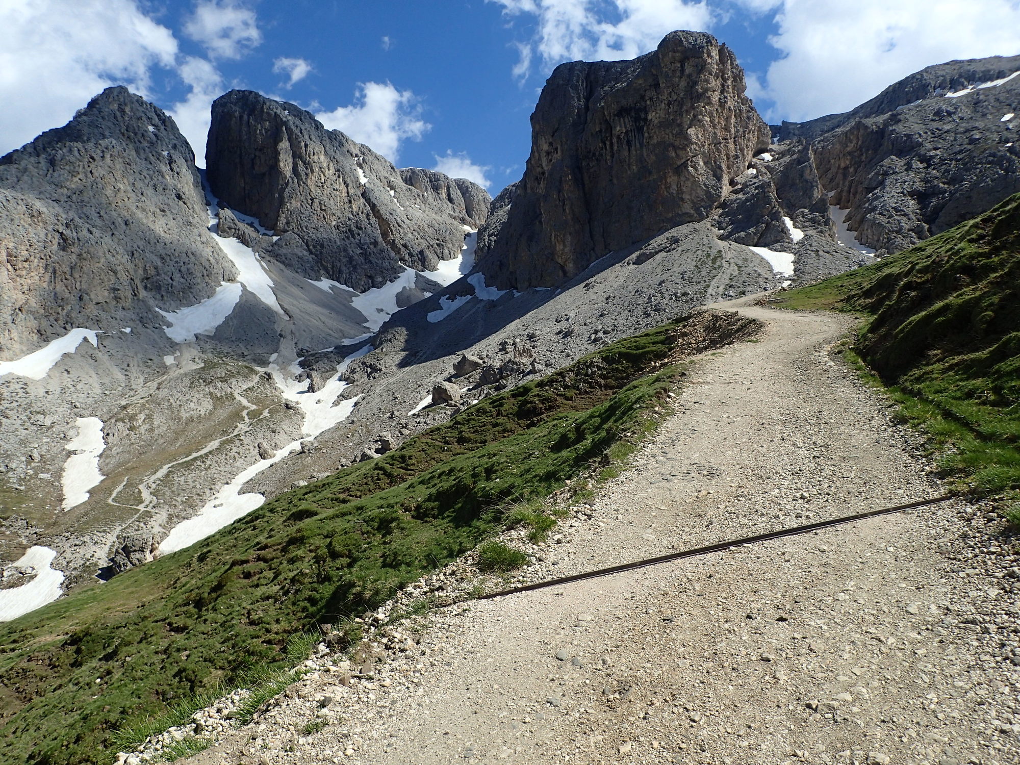
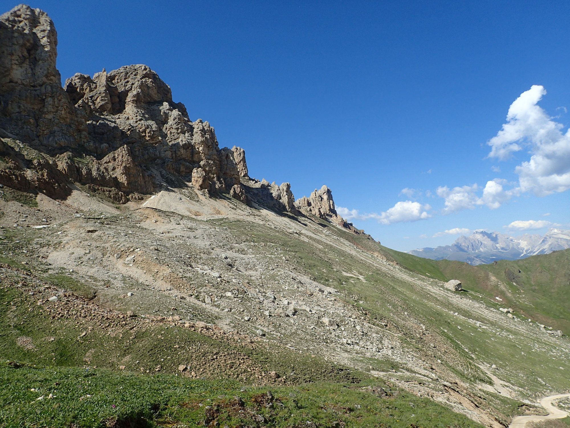
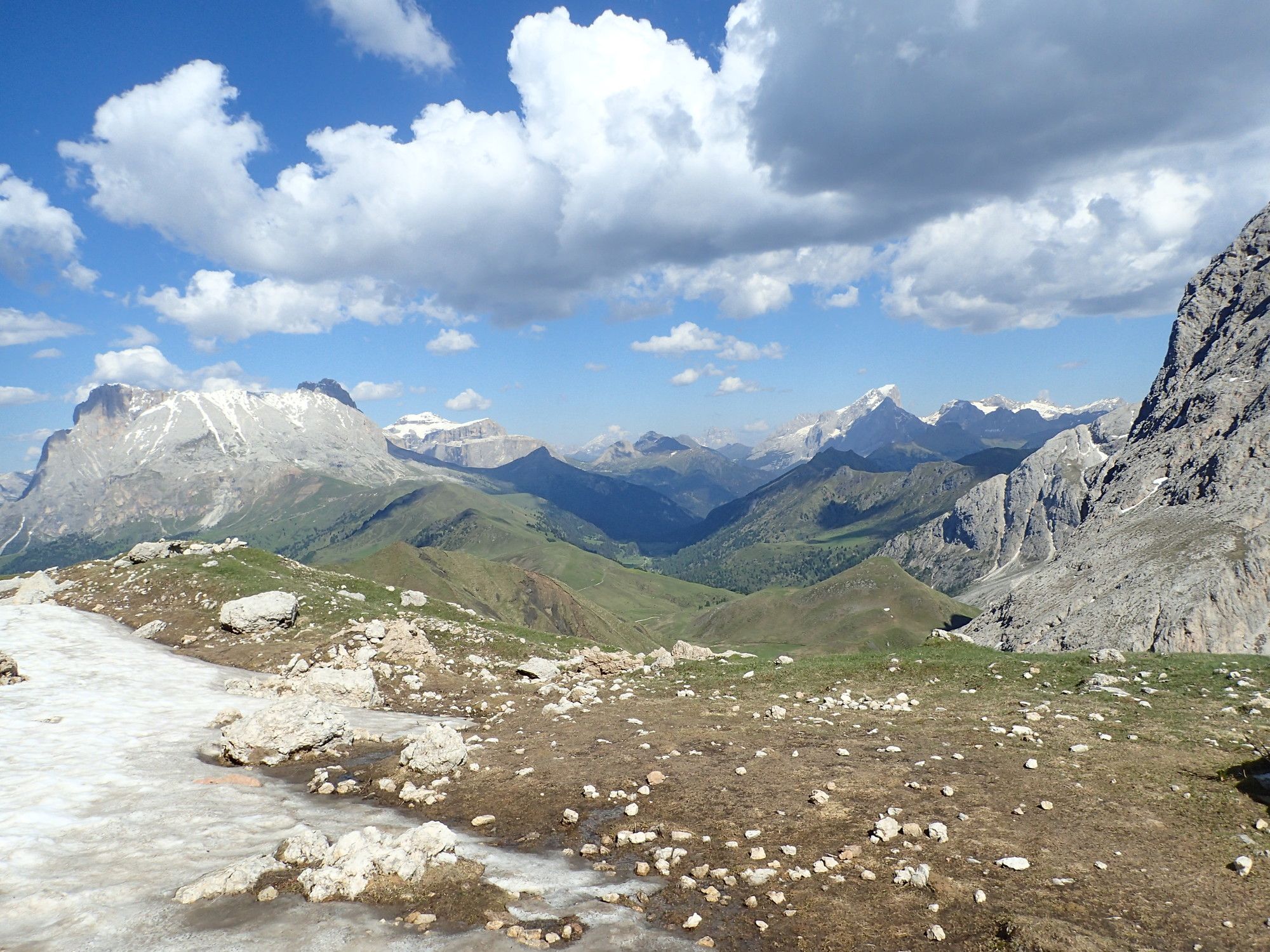
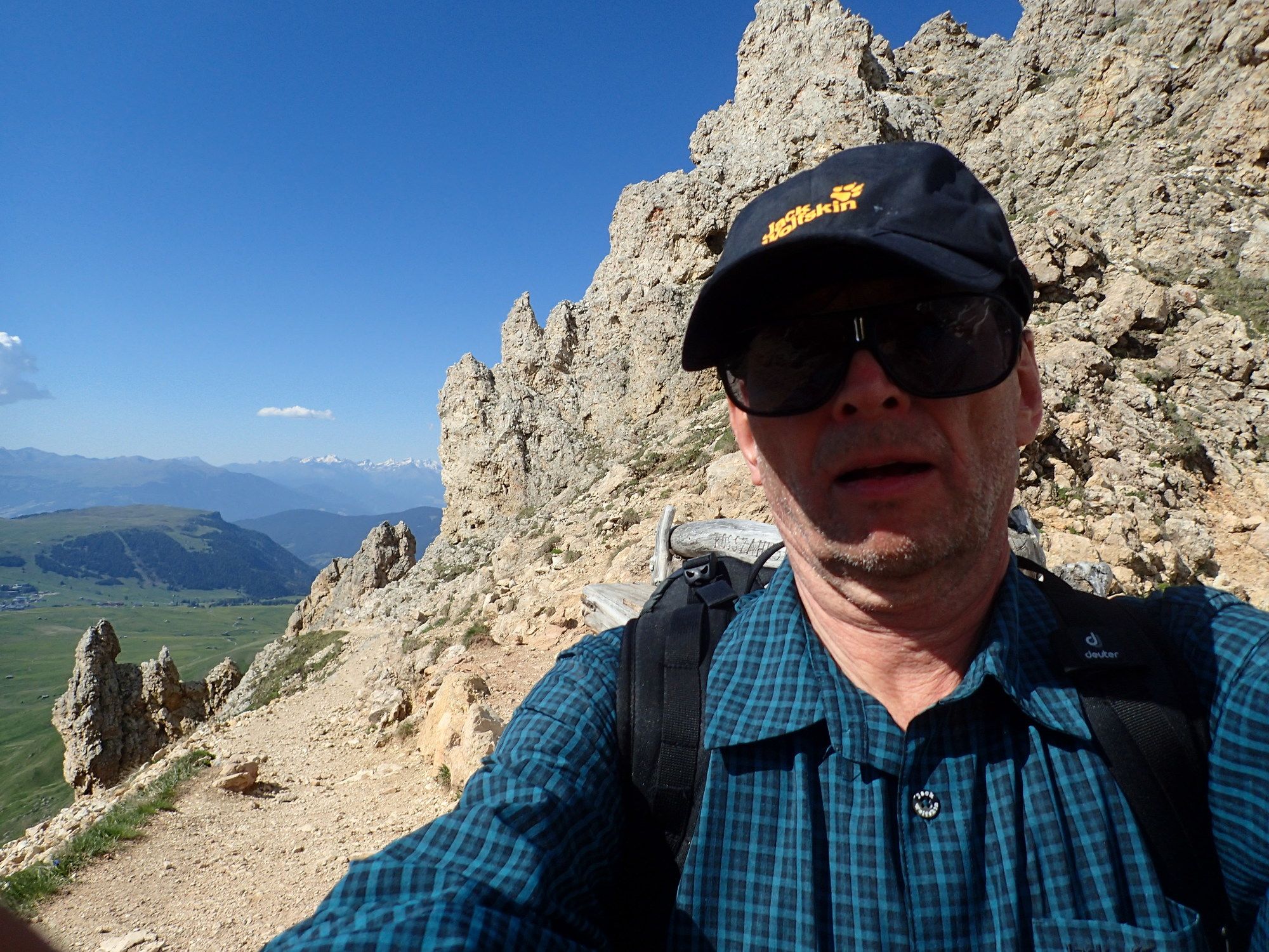
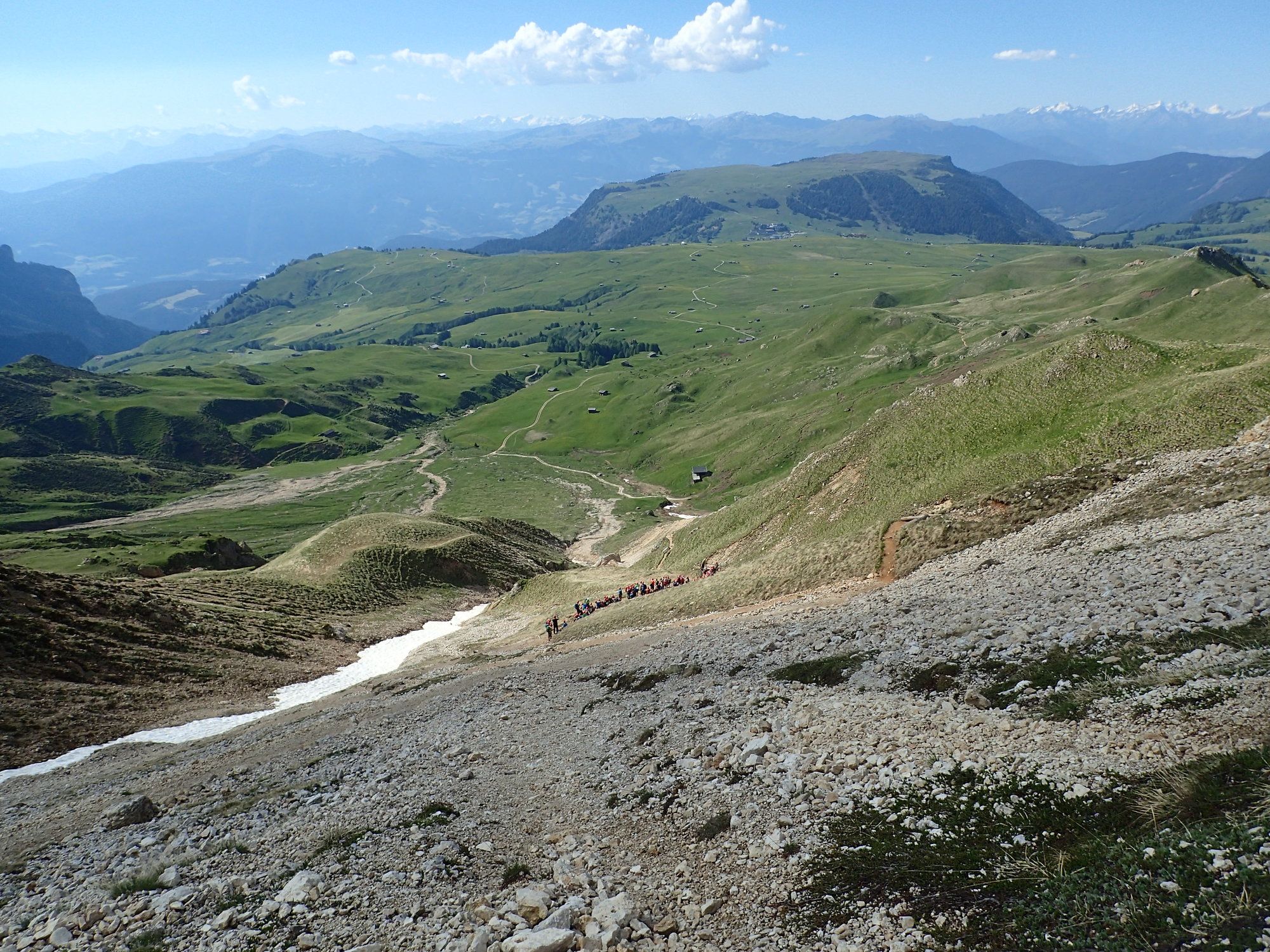
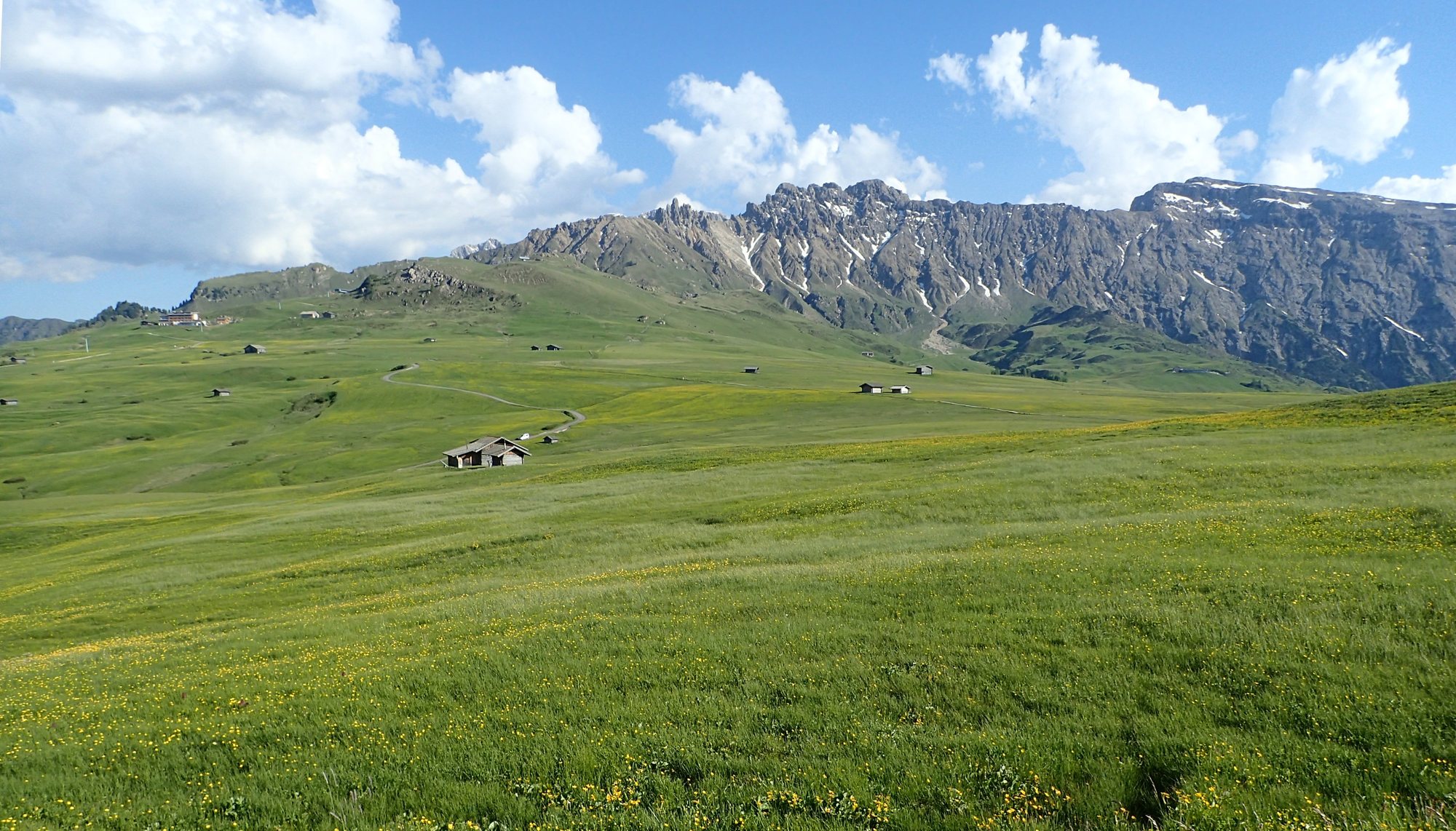
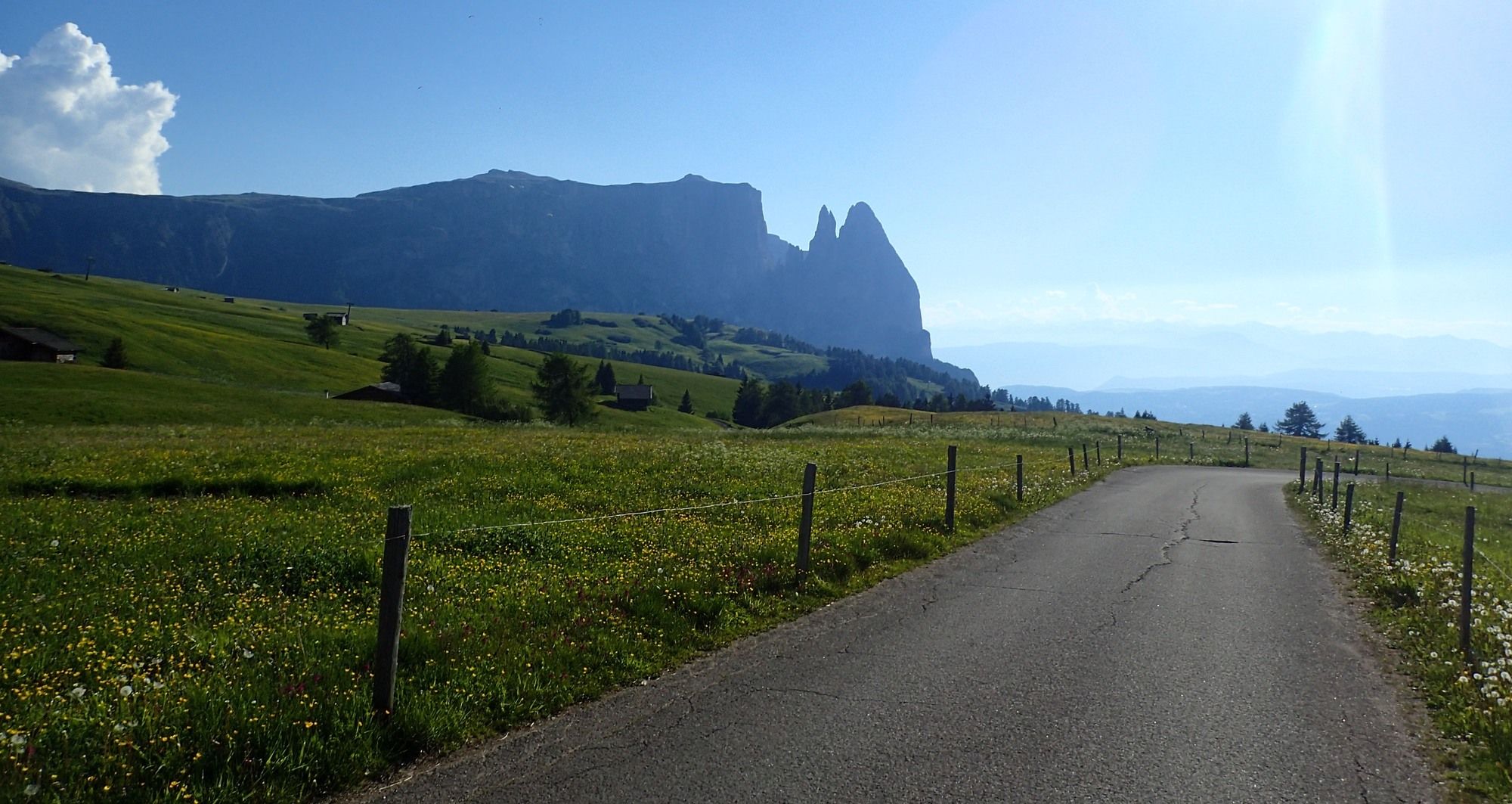
Wanderung auf der Seiser Alm nach Saltria zum Mahlknechtjoch und auf die Rosszahnscharte sowie wieder retour
- Difficulty
-
medium
- Rating
-
- Starting point
-
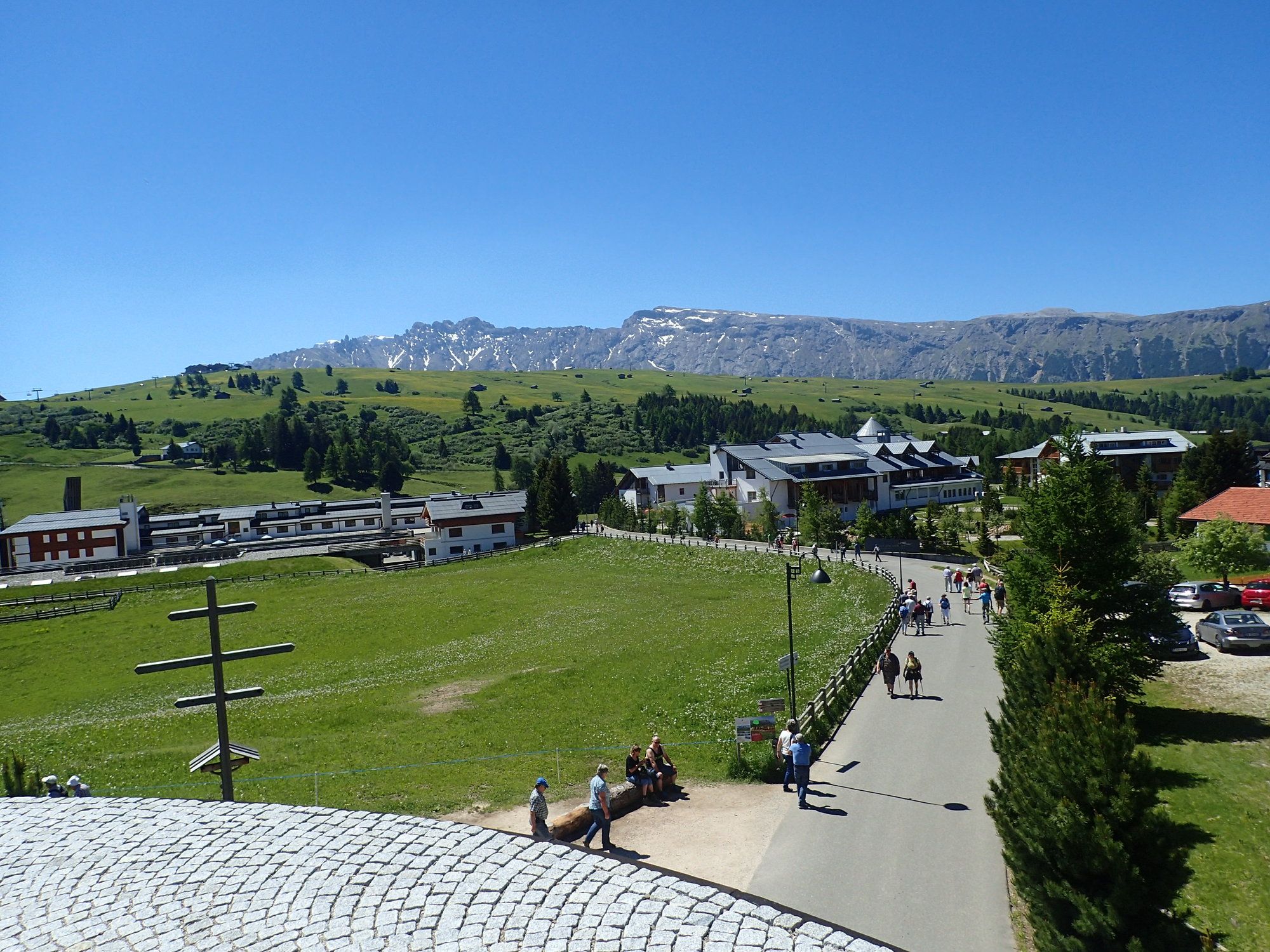
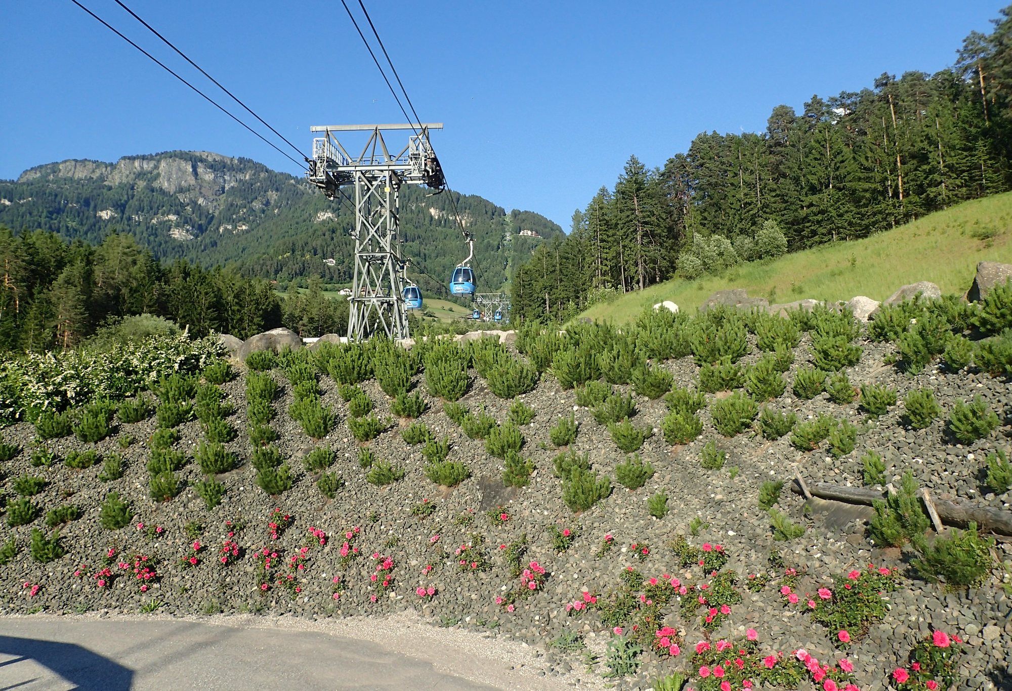
Seiseralmbahn-Bergstation
- Route
-
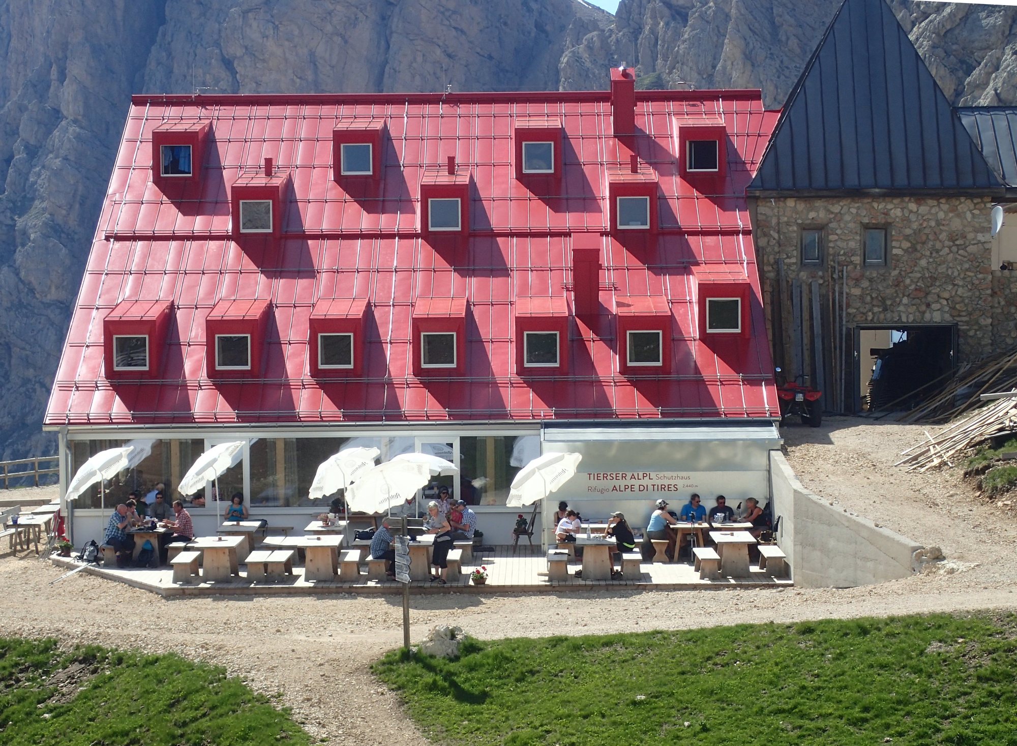
Compatsch0.0 kmFranziskuskirche0.0 kmMahlknecht Hütte0.0 kmTierser Alpl Joch (2,440 m)0.0 kmSpielplatz Panorama0.0 km
- Best season
-
JanFebMarAprMayJunJulAugSepOctNovDec
- Highest point
- Rosszahnscharte (2,498 m)
- Endpoint
-
Seiseralmbahn-Bergstation, Saltria, Mahlknechtjoch, Rosszahnscharte, retour
- Rest/Retreat
-
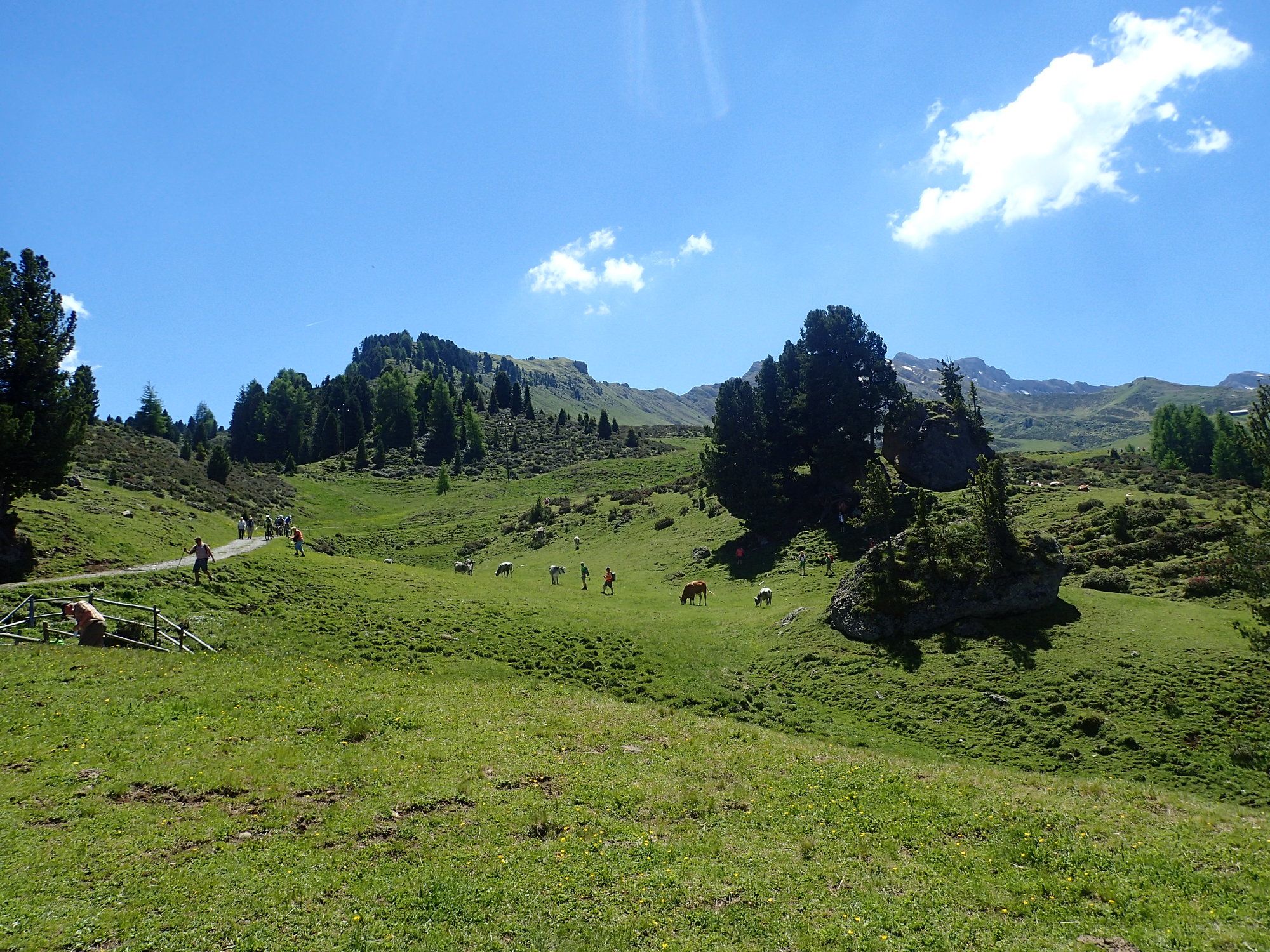
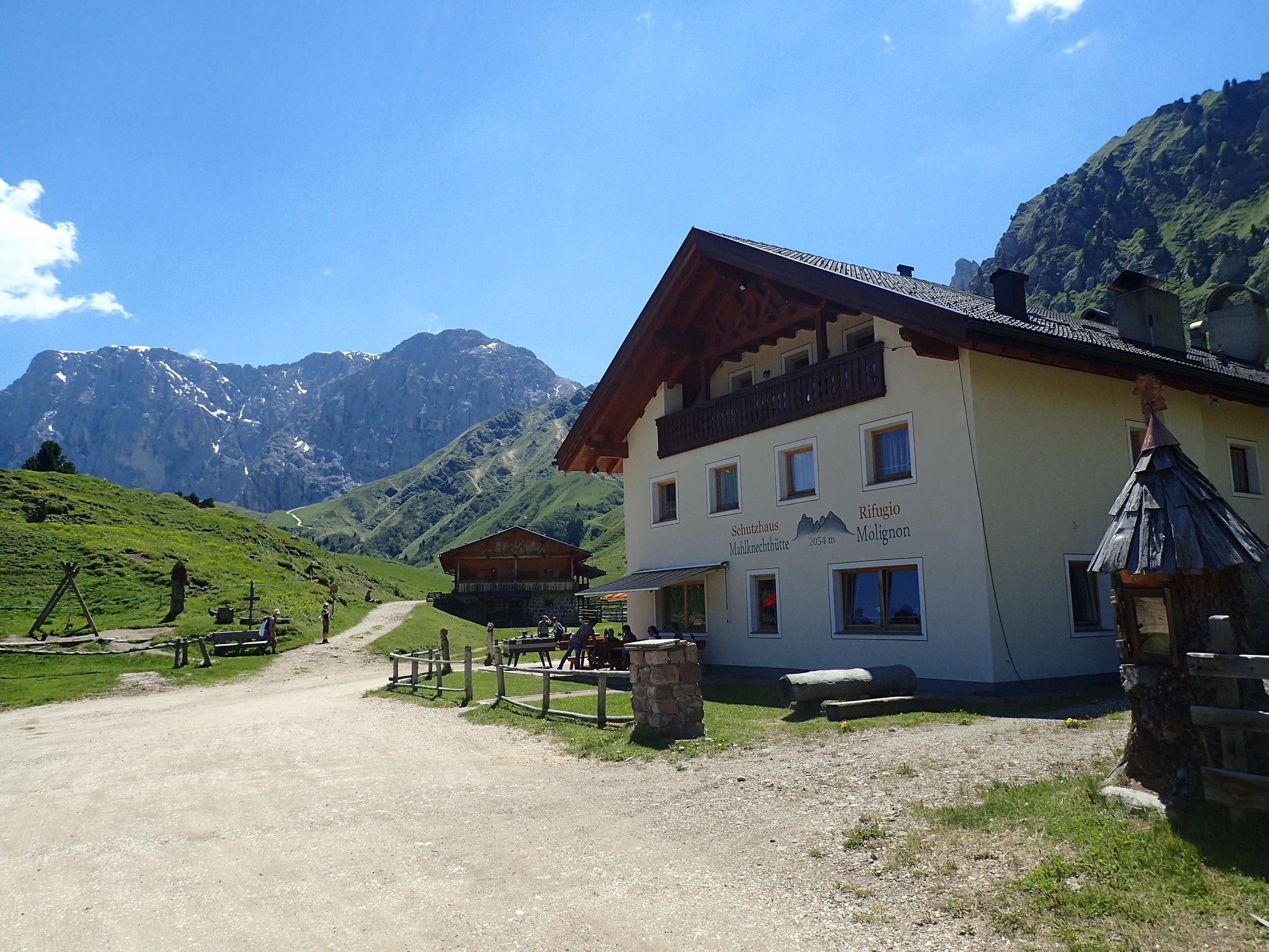
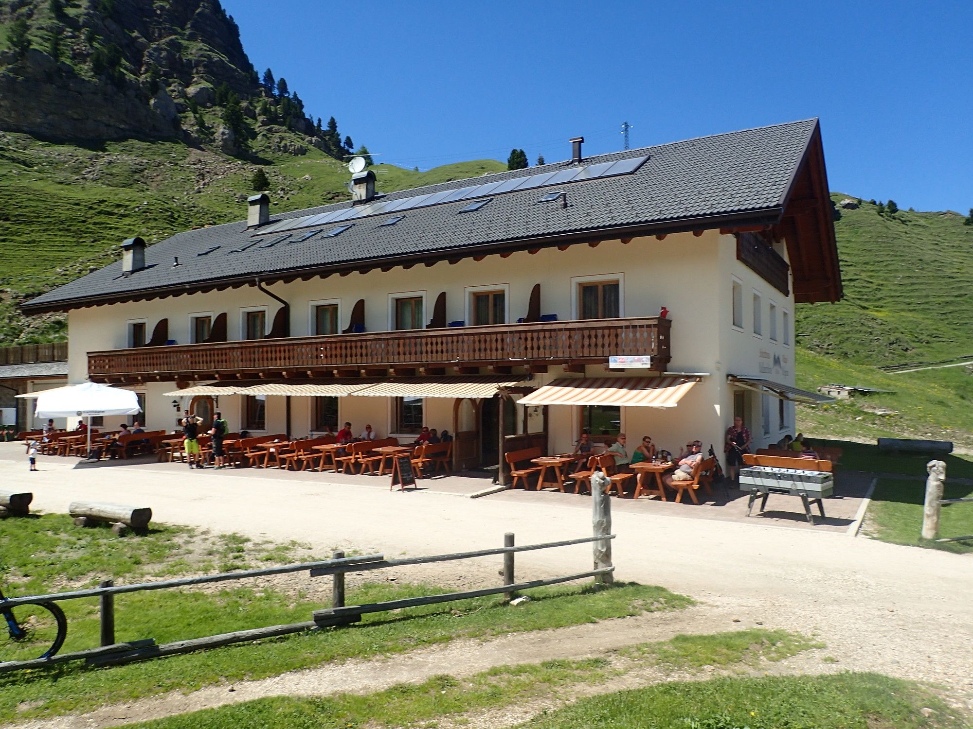
Mahlknecht Hütte, Thierser Alpl Hütte, etc.
- Ticket material
-
bergfex, Karten- und Prospektmaterial in den Büros der Fremdenverkehrsinformation aufliegend


- Source
- Erich Helferstorfer
GPS Downloads


Trail conditions
Asphalt
(29%)
Gravel
(60%)
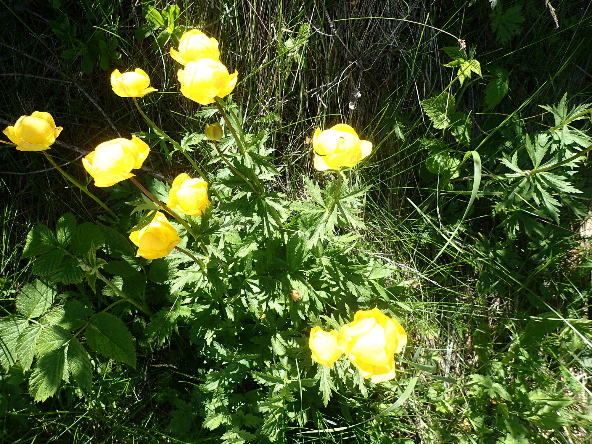
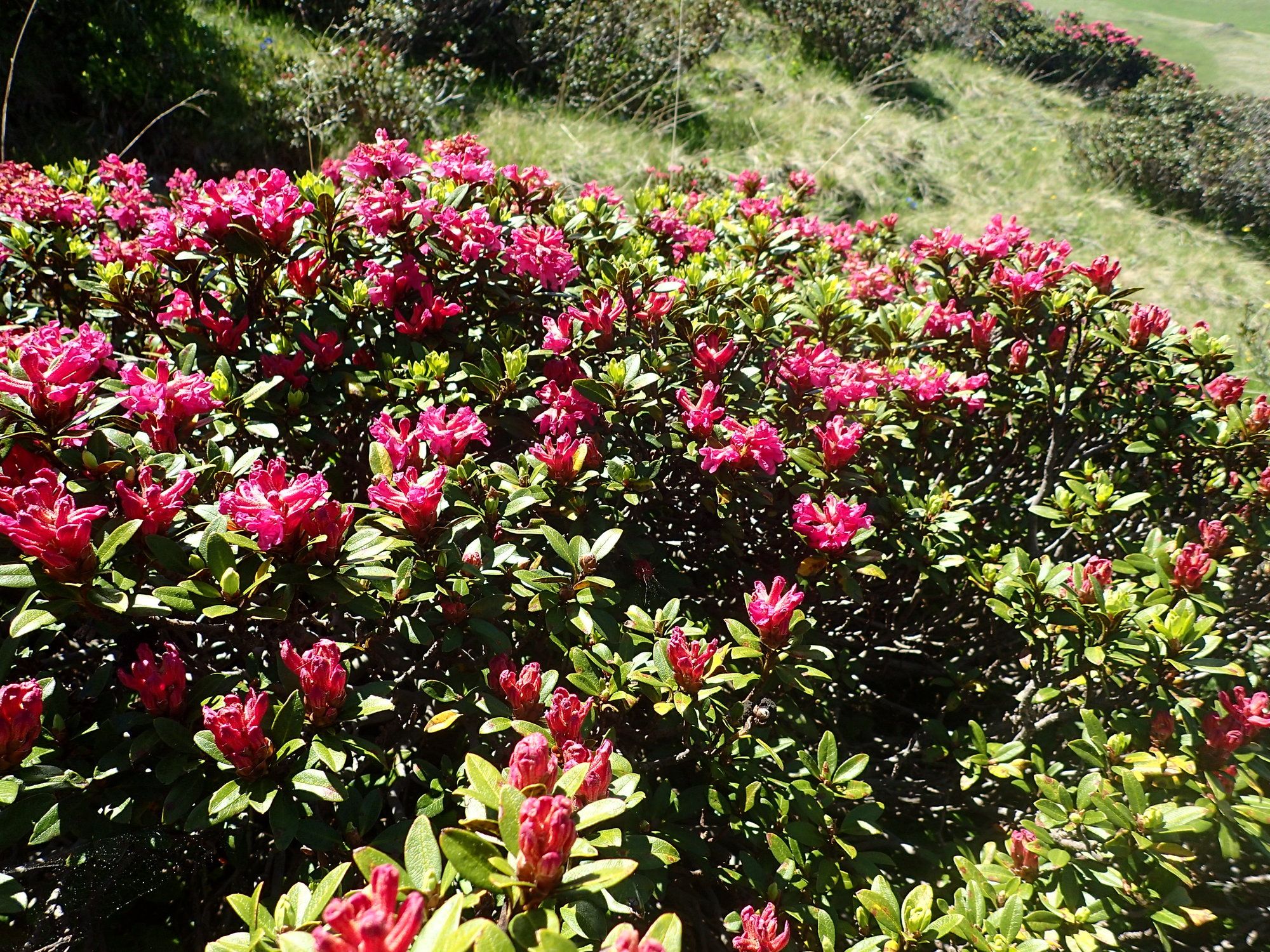
Meadow
(10%)
Forest
((10%))
Rock
(1%)
Exposed
Other tours in the regions
-
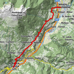
Brixen und Umgebung
1976
-
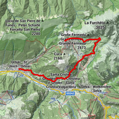
Seiser Alm
1141
-
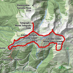
Seiser Alm
483