
- Brief description
-
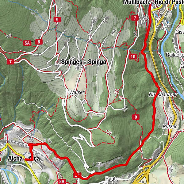
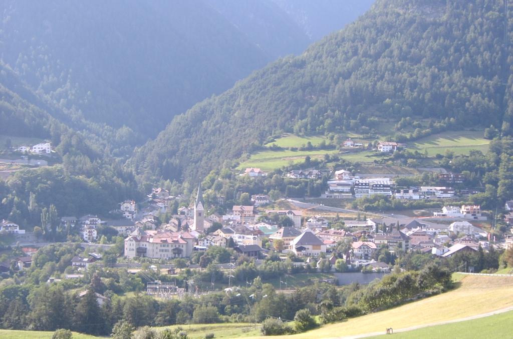
This walk through interesting landscapes at the entrance to the Pustertal Valley, leads through the upper boundary of orchards and vineyards, where on the sunny slopes of Rio di Pusteria there are cultivation trials of apple trees and grape varieties. A gem worth seeing is the “Stöcklvater” chapel, a place of pilgrimage in Rio di Pusteria, as well as the renowned “Urlaubstöckl”.
- Starting point
-
Church in Aica|Aicha (719 m)
- Route
-
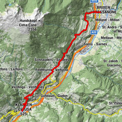
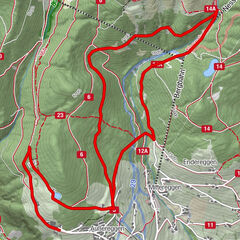
Aicha (719 m)Raut1.7 kmMühlbach (775 m)4.6 kmRaut7.4 kmAicha (719 m)9.2 km
- Directions
-
At the church in Aica (719m) take the village street, which leads through the railway underpass, ascending to the upper outskirts of the village (770m). Continue south-eastwards on the asphalt road no. 9A at the edges of the fields where it meets a bend in the road in the forest, which takes you to Spinga. Follow the ascending road almost to the next bend, then past “Urlaubstöckl“ chapel (860m) path no. 9A forks right and continues on a long stretch as forest trail bending north-eastwards to the first fields before Rio di Pusteria. Near the Nussbaumer Hof farm you reach the tarmacked Höfestraße farms trail that you now follow to Stöcklvater chapel and then further on to Rio di Pusteria (777m). Return by the same route.
- Highest point
- 853 m
- Endpoint
-
Church in Aica|Aicha (719 m)
- Height profile
-
 © outdooractive.com
- Author
-
The tour From Aica|Aicha to the Stöcklvater Church in Rio di Pusteria is used by outdooractive.com provided.


-
Brixen und Umgebung
1976
-
Gitschberg - Jochtal
672
-
Spinges
173