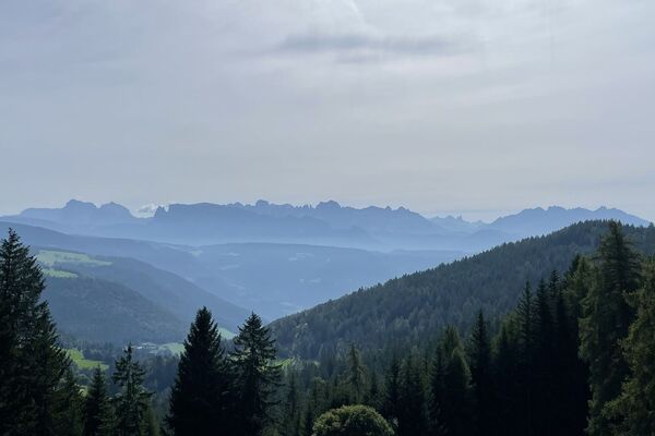
© Marling - TV Marling_Terzer Armin

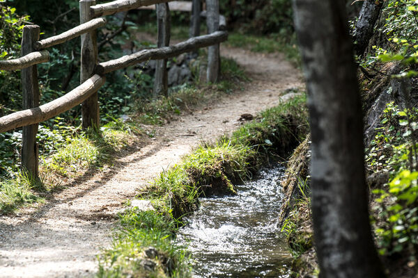
© Marling - TV Marling/Damian Pertoll

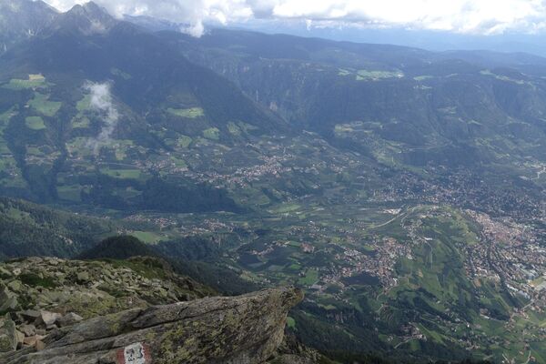
© Marling - TV Marling/Damian Pertoll
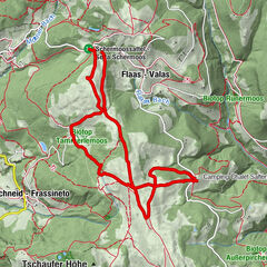
Tour data
6.84km
313
- 474m
96hm
119hm
02:00h

- Difficulty
-
easy
- Rating
-
- Route
-
MarlingMeran0.4 kmLana6.7 km
- Best season
-
JanFebMarAprMayJunJulAugSepOctNovDec
- Description
-
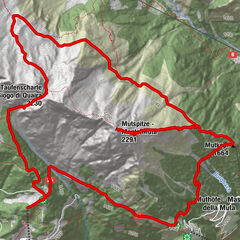
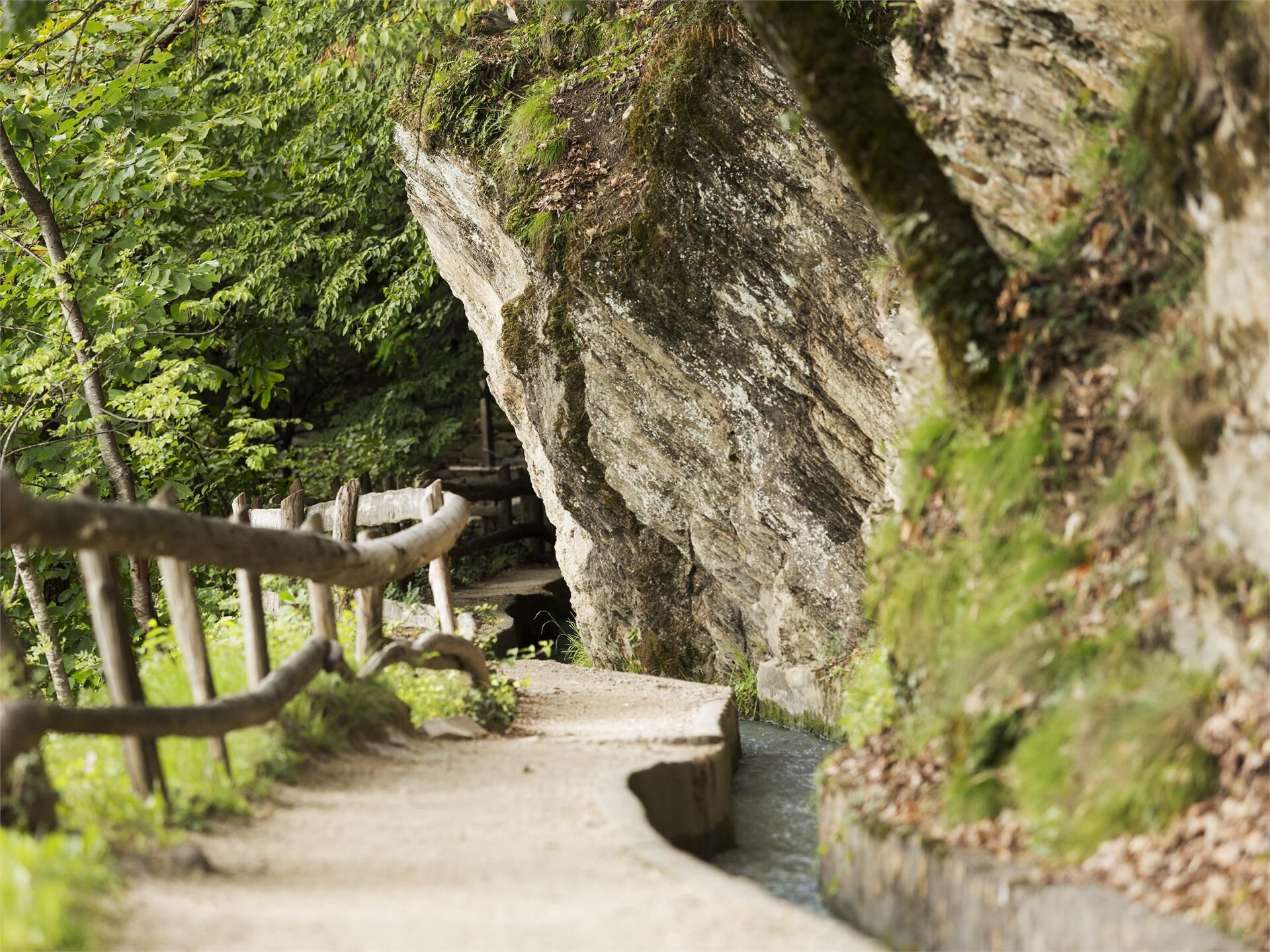
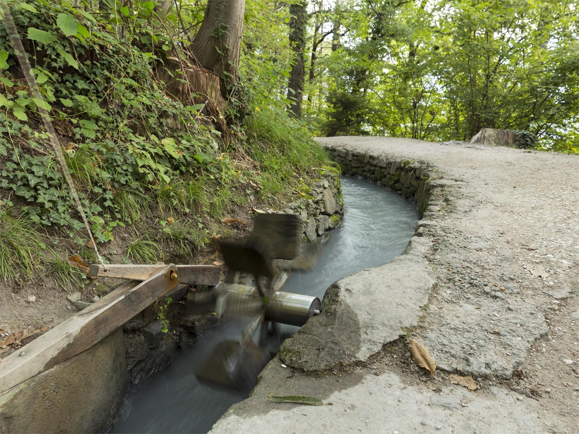
12 kilometers long, the Marlinger Waalweg trail is a popular hiking trail which runs along the former irrigation channels, the longest of its kind in South Tyrol.
- Directions
-
From the village square in Marling/Marlengo the route heads along path no. 35 up to the Marling Waalweg trail. Follow the Waalweg signposts toward Lana. At the end of the Waalweg there is a short, steep descent to the bus station in Oberlana/Lana di Sopra. From there, bus number 211 runs to Marlinger Brücke/Ponte di Marlengo bridge. Path no. 33 continues the route from the bridge back to Marling/Marlengo village square.
- Highest point
- 474 m
- Height profile
-
 © outdooractive.com
 - Directions
-
From Meran/Merano or the valley Vinschgau/Val Venosta in to the centre of Marling/Marlengo.

- Author
-
MarlingThe tour Easy Hike on Marling Waalweg Trail is used by outdooractive.com provided.
GPS Downloads


Other tours in the regions
-
Meraner Land
1735
-
Meran und Umgebung
757
-
Marling
300