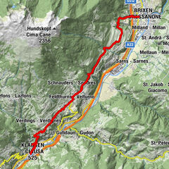
“Steiner Mandl” Panorama Hiking Trail in Jochtal Valley near Valles|Vals


- Brief description
-
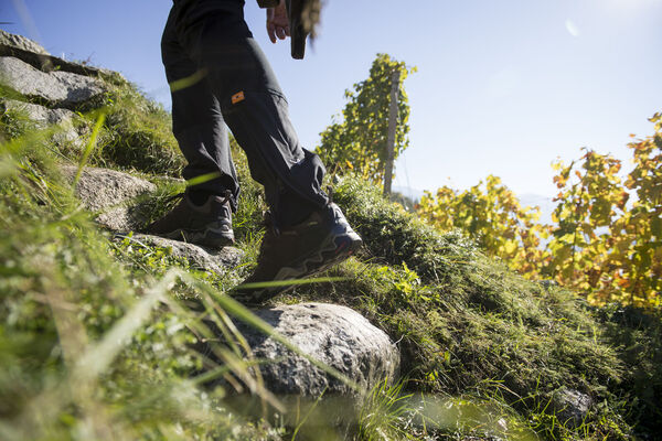
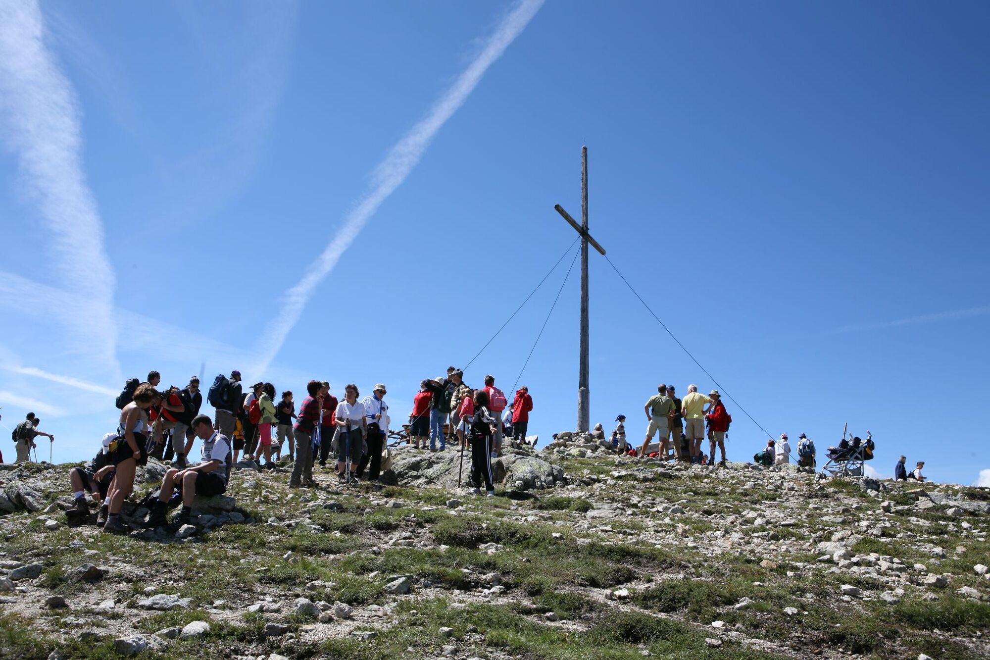
A leisurely walk to the summit of Steiner Mandl at the edge of the mountain, west of Vallertal Valley near Rio di Pusteria. Along the way there are several places where you can stop and rest, but you should allow yourself time, the 360° view needs to be enjoyed. Jochtal mountain gondola is operational in summer from the beginning of June until mid October.
- Starting point
-
Jochtal cable car mountain station (2,006m)
- Route
-
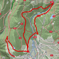
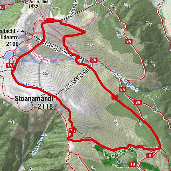
Bergrestaurant Jochtal (2,009 m)Kinderlift0.0 kmSteinermandl2.1 kmStoanamandl (2,118 m)2.1 kmAichener Wiesen3.5 kmAnratterhütte (1,814 m)6.0 kmLinderalm (1,900 m)6.6 kmJochtal Bergrestaurant7.6 kmBergrestaurant Jochtal (2,009 m)7.6 km
- Directions
-
The well-signposted trail no. 1A leads from the mountain station (2006m, refreshments served) close to Ochsenalm mountain hut, and there southward on trail no. 1A to the flat summit of Steiner Mandl (2,118m; panoramic viewing platform). Ascend the south-western slope, pass Hubertus Stöckl, and you will reach the fork to route no. 1B on the left. Take this route and you will pass a hunting cabin, go through several mountain meadows with wooden fences (open and close), and you will reach Almstraße alpine pasture road (1,753m; lowest point in the route). On Almstraße no. 9, you will circle a mountain ridge on the southern side, then ascend northward to the Anratter Hütte snack bar (1,814m) and Linderalm alpine pasture (1,862m) and then return curving right on the slope to Jochtal mountain station.
- Highest point
- 2,112 m
- Endpoint
-
Jochtal cable car mountain station (2,006m)
- Height profile
-
 © outdooractive.com
- Author
-
The tour “Steiner Mandl” Panorama Hiking Trail in Jochtal Valley near Valles|Vals is used by outdooractive.com provided.


-
Brixen und Umgebung
1973
-
Gitschberg - Jochtal
671
-
Vals
129