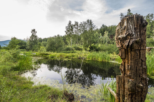
© Bruneck Kronplatz Tourismus - Harald Wisthaler
Tour data
5.21km
1,027
- 1,190m
149hm
142hm
02:00h

- Difficulty
-
easy
- Rating
-
- Route
-
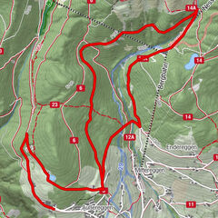
Sichelburg0.0 kmPfalzen0.3 kmSichelburg5.0 km
- Best season
-
JanFebMarAprMayJunJulAugSepOctNovDec
- Description
-
This pleasant hike above Pfalzen leads through meadows and along the edge of the forest, passes wayside crosses, chapels and farms and offers a beautiful view on the village and the Kronplatz.
- Directions
-
The starting point is the Sichelburg restaurant in the centre of Pfalzen. From here, follow the trail in a westerly direction to the "Tiefenthalerhof" farm. Walk past the farm on the right and into the forest to the serpentine, where you follow the markings on the right to "Bachstöckl". From here, continue on the trail to Koflerstraße and return to Sichelburg on Riedinger Street.
- Highest point
- 1,190 m
- Height profile
-
 © outdooractive.com
 - Directions
-
Public transport from Mobility Center Bruneck/Brunico:
With the bus 421 or 422 to Pfalzen/Falzes, bus stop Town Hall (421 + 422) or Sichelburgstraße/Via Sichelburg (422).

- Author
-
Bruneck Kronplatz TourismusThe tour Panoramic trail Pfalzen / Falzes is used by outdooractive.com provided.
GPS Downloads


Other tours in the regions
-
Bruneck und Umgebung / Kronplatz
1800
-
Kronplatz - Dolomiten
798
-
Pfalzen
159