© Rasen im Antholzertal
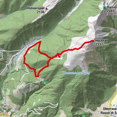
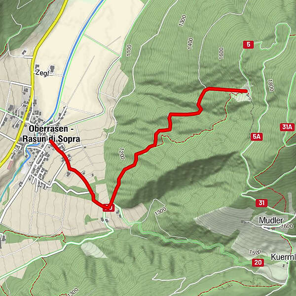
Tour data
2.89km
1,083
- 1,656m
546hm
01:30h
- Brief description
-
mittelschwere Wanderung
- Rating
-
- Starting point
-
Oberrasen - Oberstall
- Route
-
Gasthof TrogerOberrasen0.0 kmFriedhofskapelle Oberrasen0.1 kmHochrautalm2.8 km
- Highest point
- 1,656 m
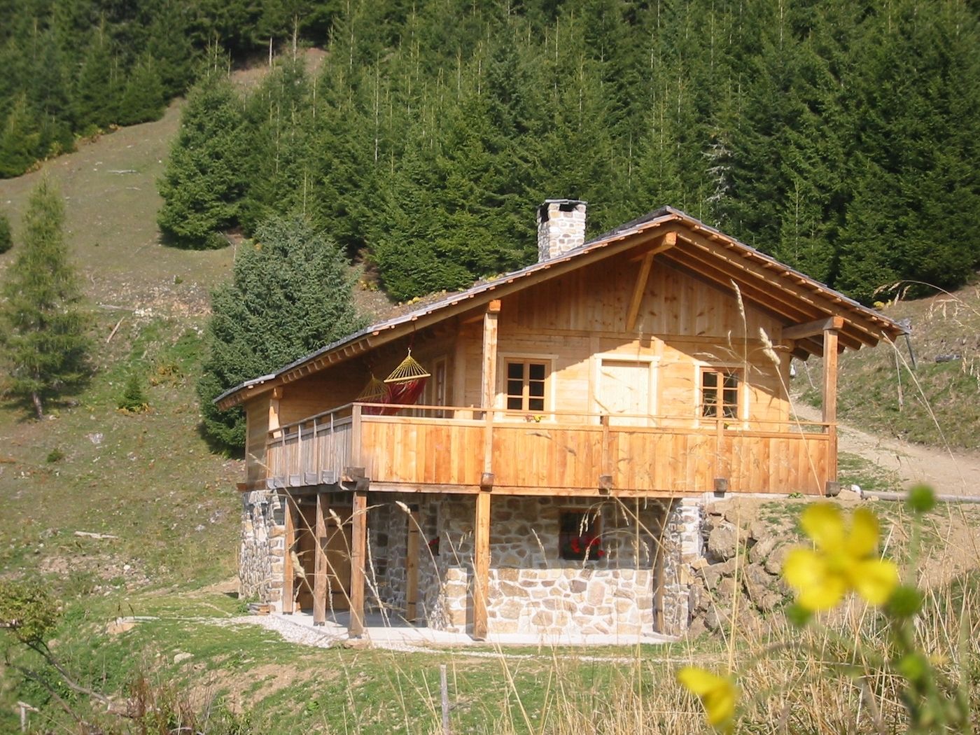
- Rest/Retreat
-
Hochrautalm (1.643m)
GPS Downloads


Trail conditions
Asphalt
Gravel
Meadow
Forest
Rock
Exposed
Other tours in the regions