

© TVNatzSchabs
Tour data
8.9km
775
- 866m
380hm
02:30h
- Brief description
-
Wanderung von Schabs über Mühlbach hoch zum Schloss Rodeneck
- Rating
-
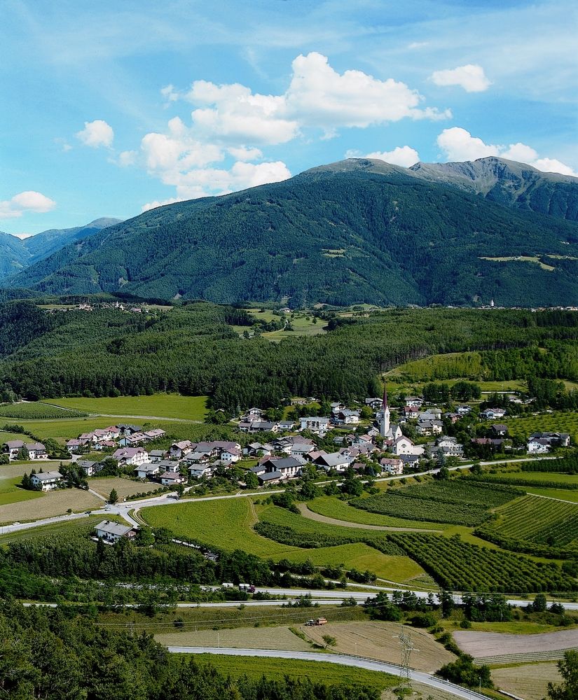
- Starting point
-
Gemeinde Natz-Schabs, Fraktion Schabs
- Highest point
- 866 m
- Ticket material
-
Panoramakarte NatzSchabs
Trail conditions
Asphalt
Gravel
Meadow
Forest
Rock
Exposed