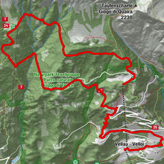
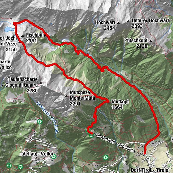
Tour data
15.49km
758
- 2,136m
845hm
1,454hm
05:51h
- Brief description
-
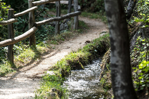
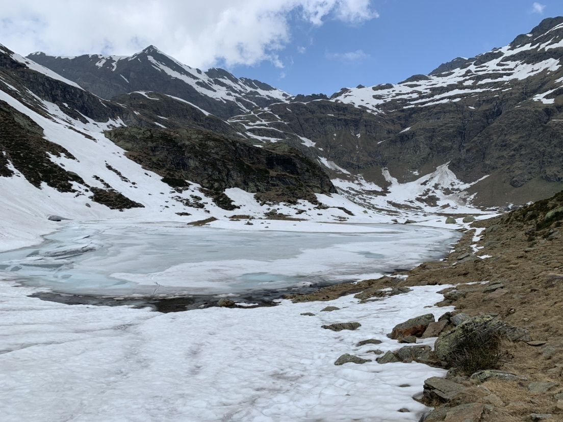
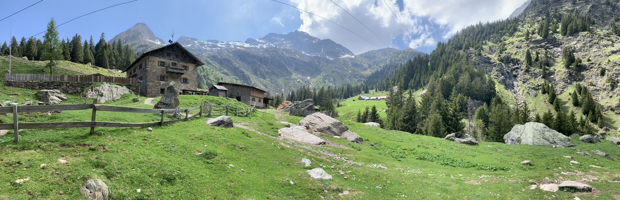
Prachtige natuur en vergezichten
- Difficulty
-
medium
- Rating
-
- Route
-
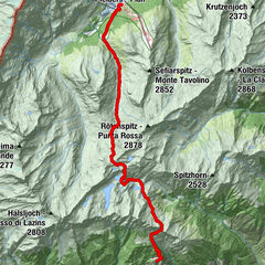
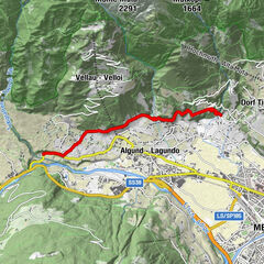
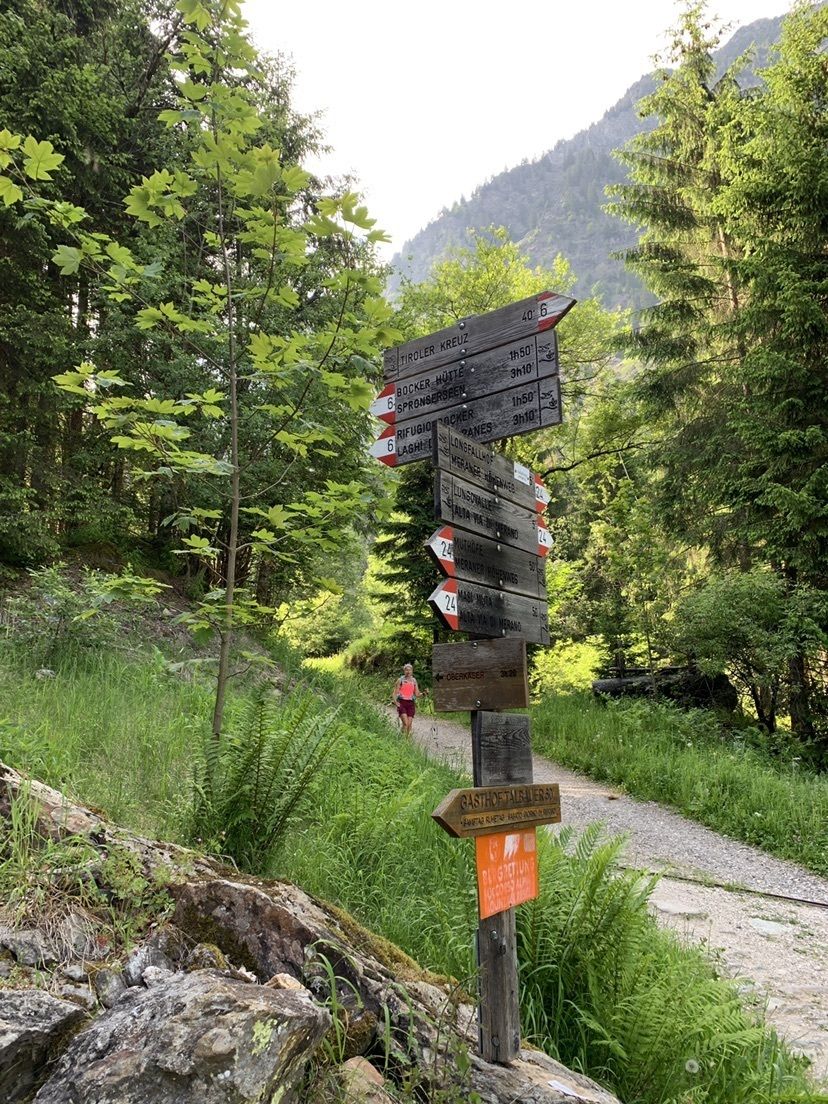
Berggasthof OberhochmuthofGasthaus Steinegg (1,500 m)0.2 kmMutkopf (1,664 m)1.8 kmBerggasthaus Mutkopf1.8 kmQuelle5.1 kmKoltbrunnen12.2 kmSchwamm Bloder13.4 kmTiroler Kreuz14.6 kmMeran15.5 km
- Highest point
- 2,136 m
GPS Downloads


Other tours in the regions
-
Meraner Land
1727
-
Meran und Umgebung
758
-
Dorf Tirol
318