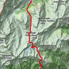
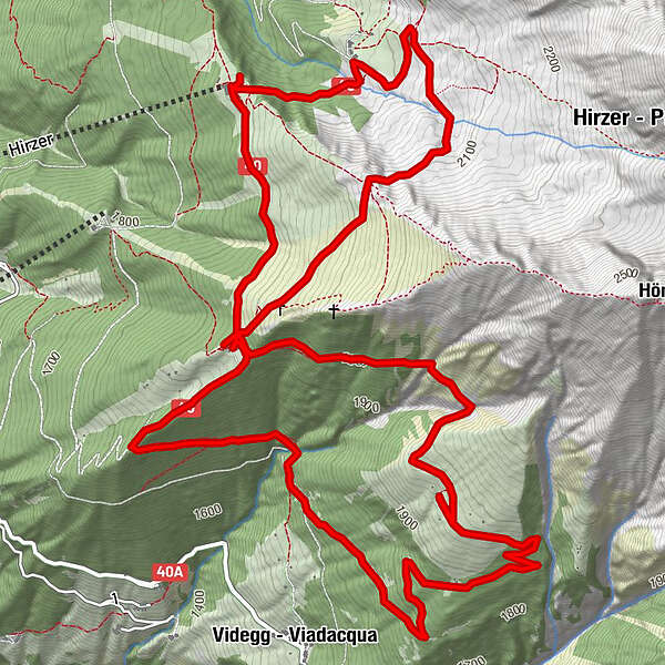
Tour data
10.53km
1,701
- 2,144m
586hm
583hm
03:30h
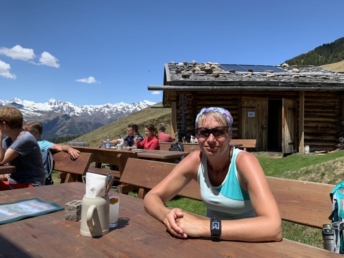
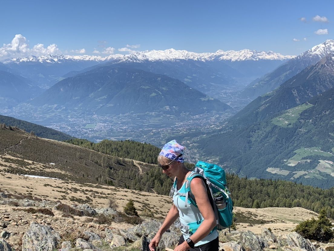
- Brief description
-
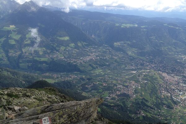
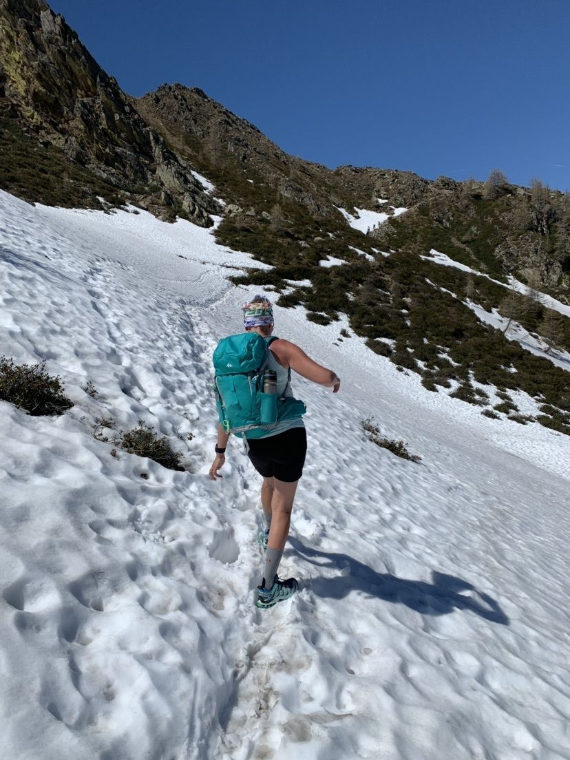
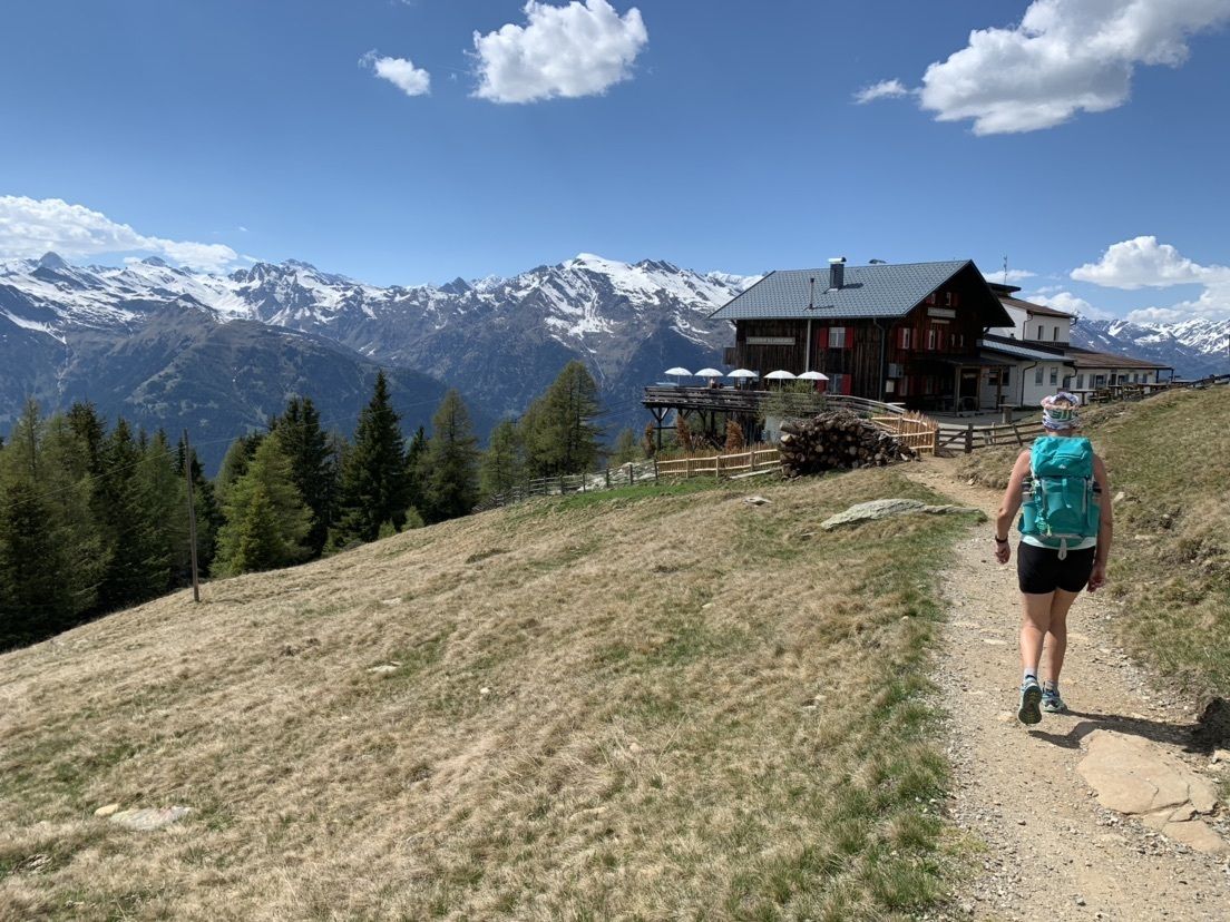
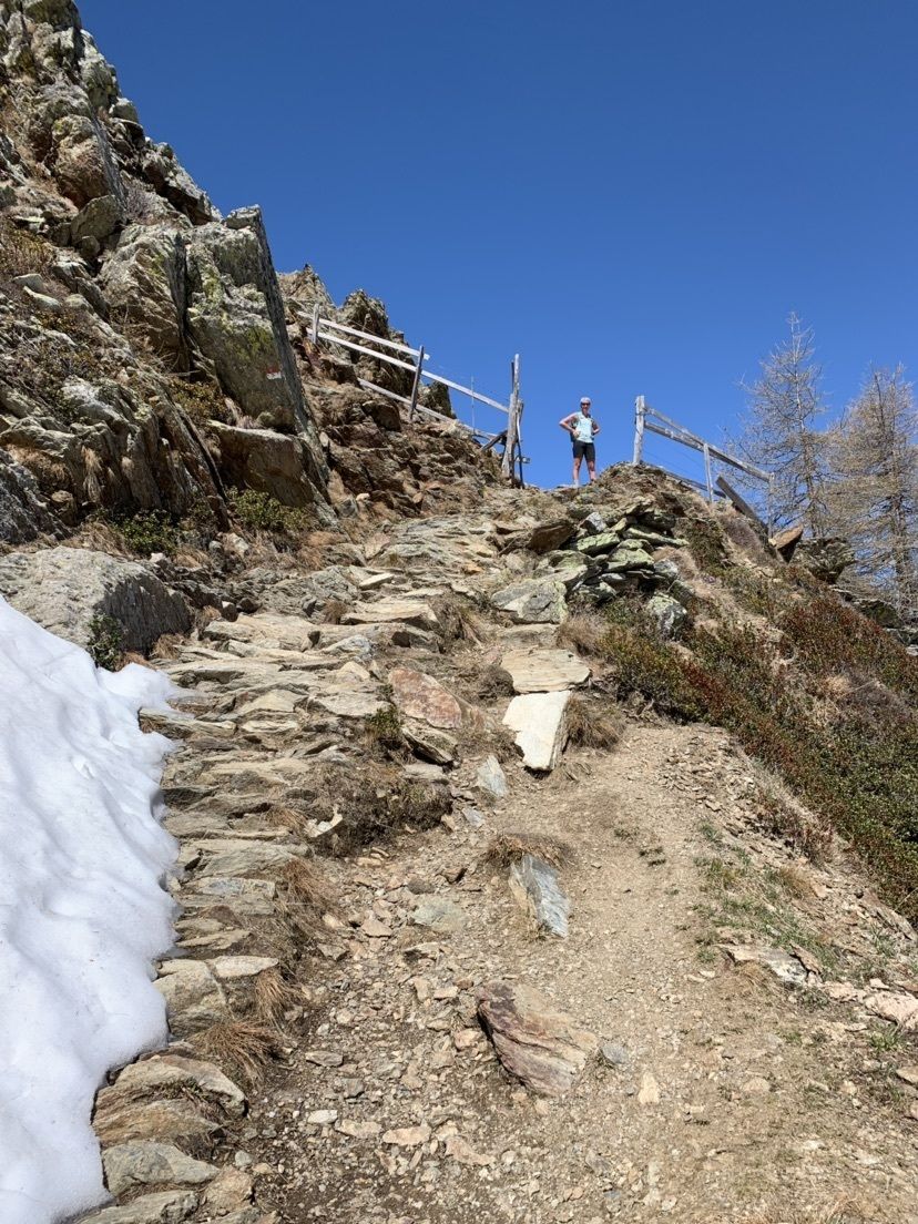
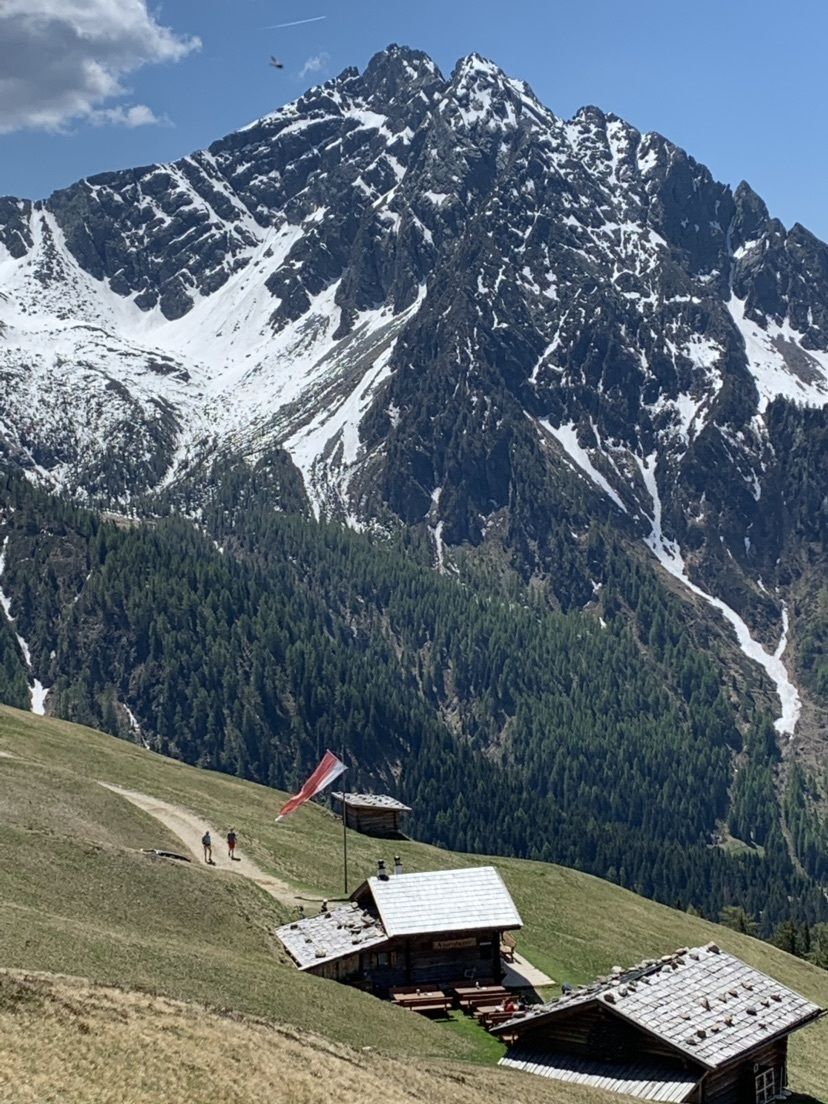
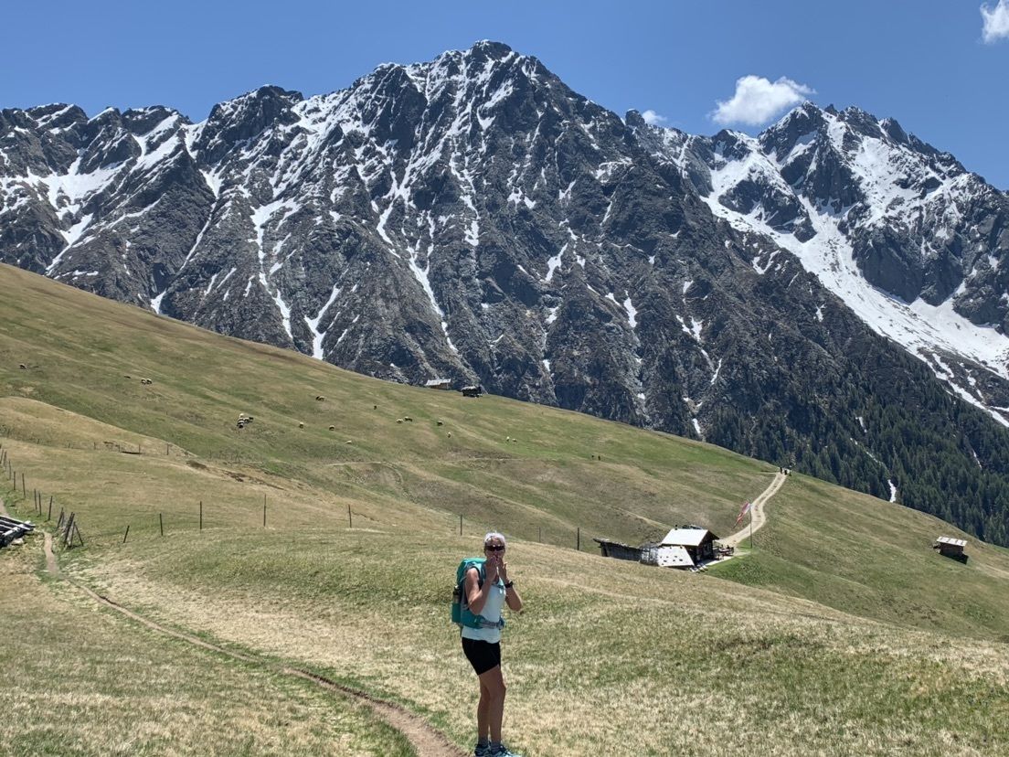
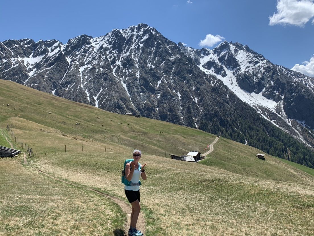
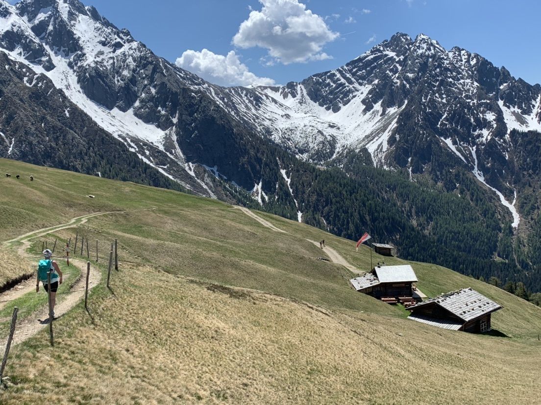
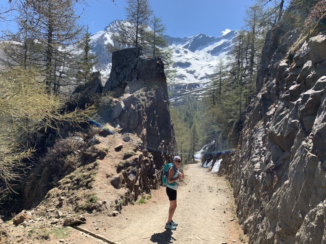
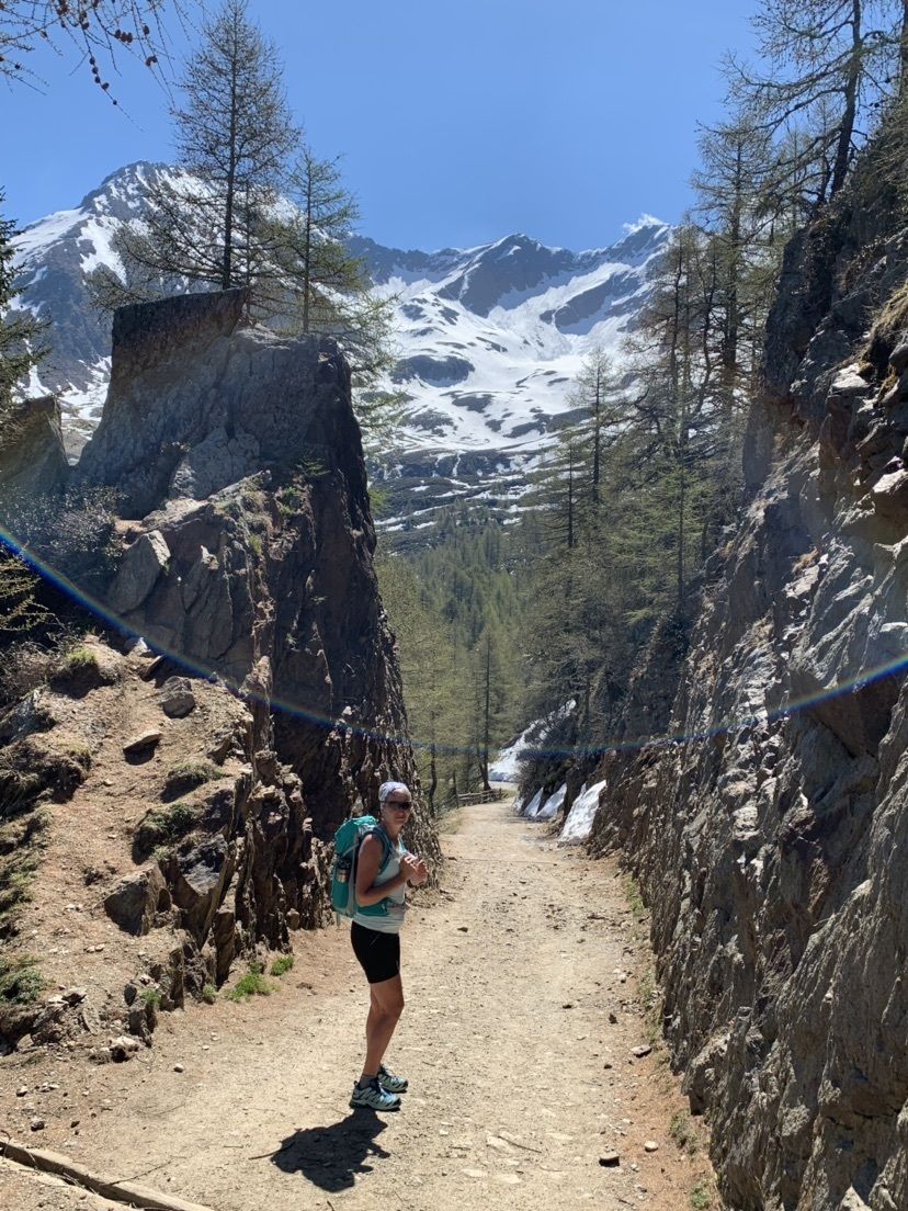
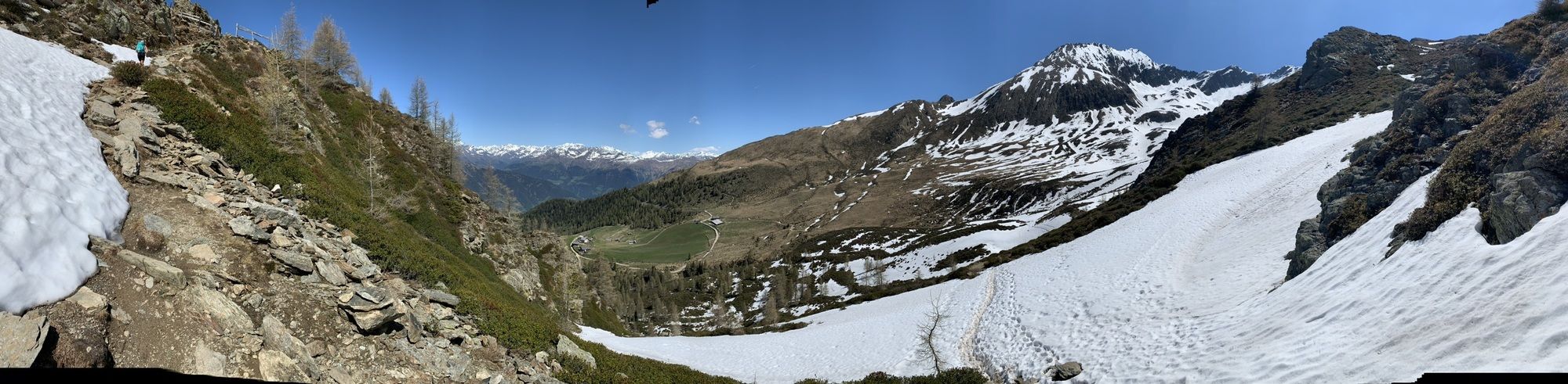
Nice walking with Nice views
- Difficulty
-
easy
- Rating
-
- Route
-
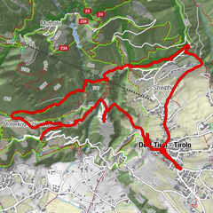
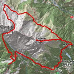
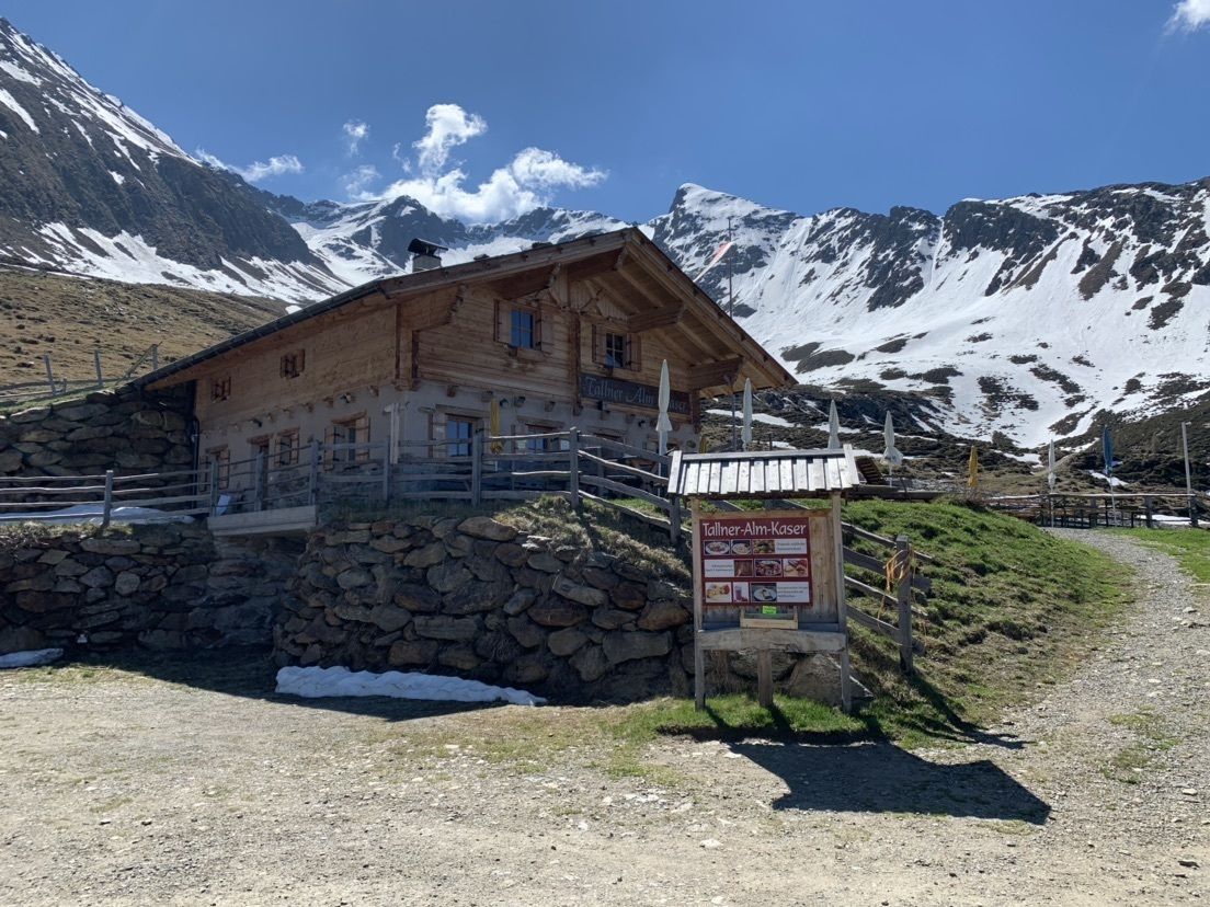
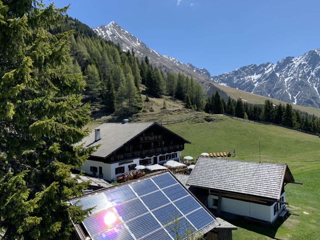
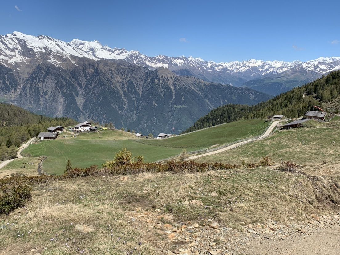
Tallner Alm Kaser1.1 kmStafellalm (1,940 m)3.1 kmAssenhütte4.9 kmStafellalm (1,940 m)9.3 km
- Highest point
- 2,144 m


GPS Downloads


Other tours in the regions
-
Meraner Land
1726
-
Passeiertal
799
-
St. Martin im Passeiertal
245