Tour data
2.35km
2,142
- 2,534m
382hm
382hm
02:00h
- Brief description
-
Hiking tour from the mountain station of the Watles to the top of the mountain
- Difficulty
-
medium
- Rating
-
- Starting point
-
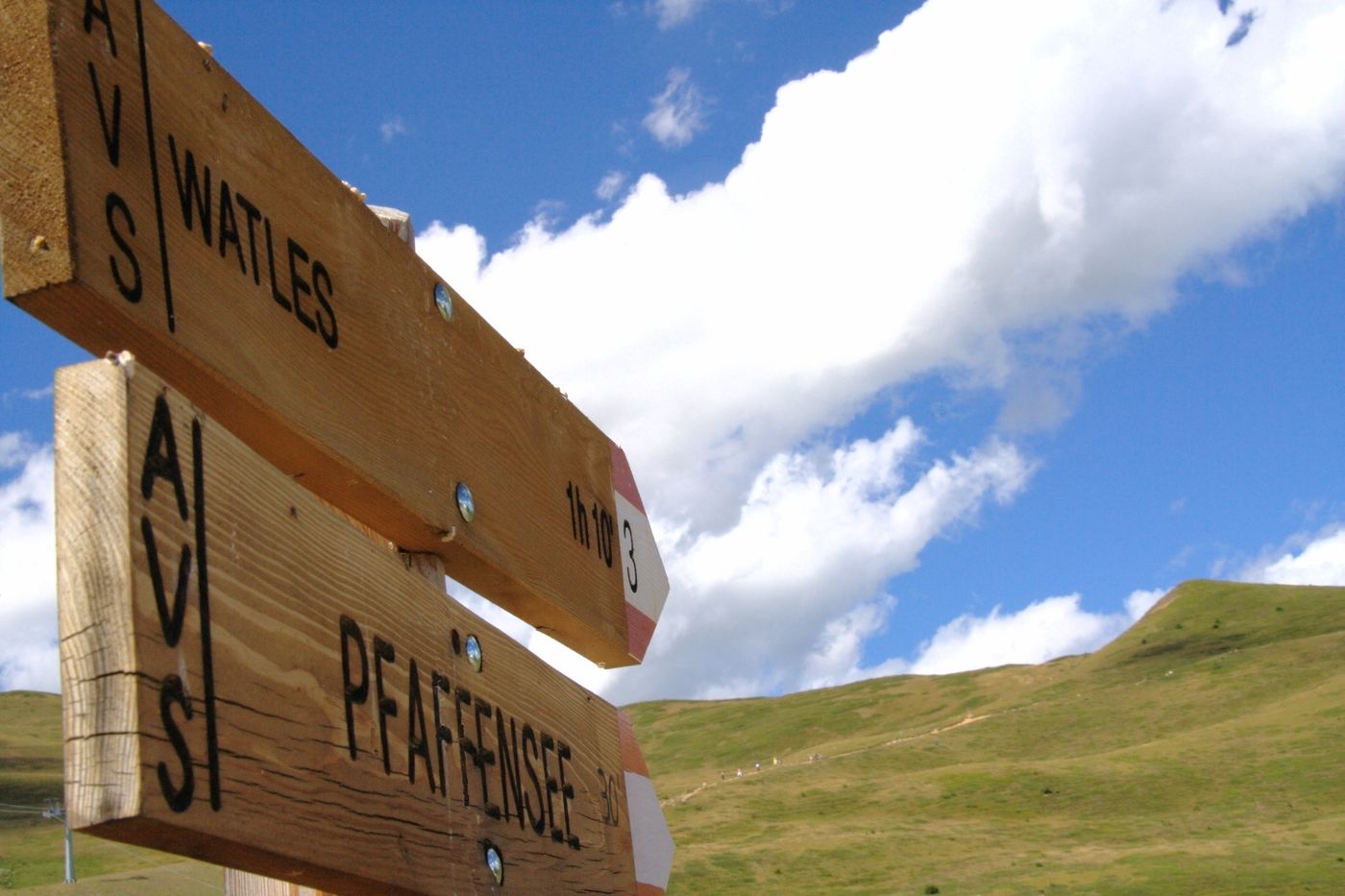
To the mountain station of Watles
- Route
-
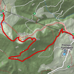
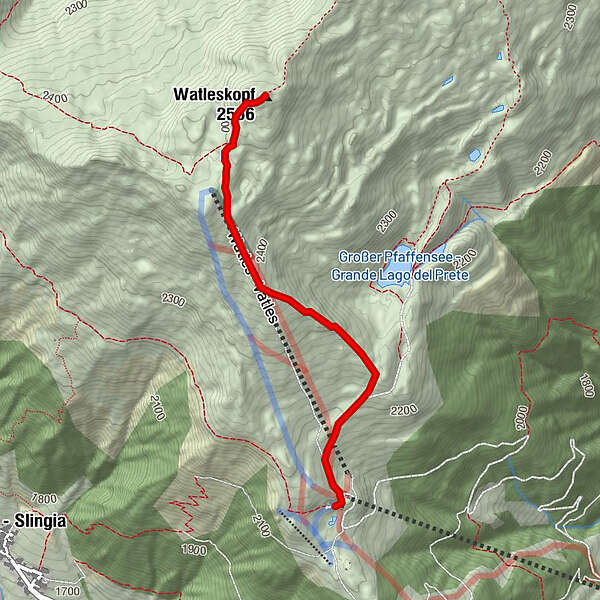
Bergrestaurant Plantapatsch HütteWatles (2,555 m)2.3 km
- Best season
-
JanFebMarAprMayJunJulAugSepOctNovDec
- Description
-
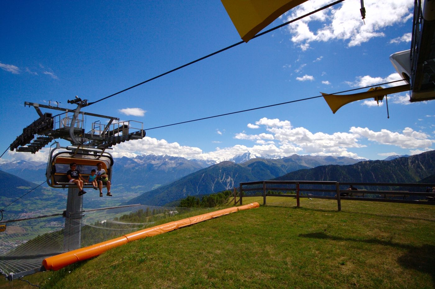
Arrive to valley station of the Watles with your own car or with public transport.
Take the lift to the mountain station.From there you follow the well-signed way to the Piz Watles ("Watles Kreuz"). It takes about 1,5 hours to arrive to the top of the mountain, where you have a unique panoramic view over the whole valley.
You return the same way as you arrived.
- Highest point
- 2,534 m
- Endpoint
-
To the top of the mountain Watles
- Rest/Retreat
-
Plantapatschhütte
- Directions
-
To the valley station of Watles
- Parking
-
To the valley station of Watles

- Link
- http://watles.net/
GPS Downloads


Trail conditions
Asphalt
Gravel
Meadow
Forest
Rock
Exposed
Other tours in the regions
-
Vinschgau
1290
-
Obervinschgau
455
-
Watles
118