Tour data
3.42km
1,719
- 2,130m
377hm
377hm
02:00h

- Brief description
-
Wanderung von der Talstation Watles bis zur Plantapatschhütte (ohne Lift)
- Difficulty
-
medium
- Rating
-
- Starting point
-
Valley station Watles
- Route
-
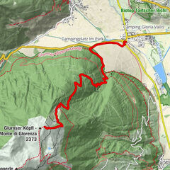
Prämajur - Pramaggiore0.0 kmHöferalm2.5 kmBergrestaurant Plantapatsch Hütte3.4 km
- Best season
-
JanFebMarAprMayJunJulAugSepOctNovDec
- Description
-
You arrive to the valley station Watles with your own car or with public transport.
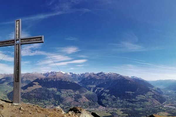
From here you follow the hiking trail, passing by the Höfer Alm until the mountain restaurant Plantapatsch. From there you enjoy a breathtaking mountain view, wonderful cuisine and the little ones enjoy playing on the new playground-lake.Hiking time: about 1,5 - 2 hours
Altitude difference: 400 m
Stop to refresh/to eat: Höferalm and Plantapatschhütte
- Highest point
- 2,130 m
- Endpoint
-
Mountain station Watles
- Rest/Retreat
-
Alpine pastures Höfer Alm and Plantapatsch
- Directions
-
With your own car or public transfer to the valley station Watles
- Parking
-
Valley station Watles


GPS Downloads


Trail conditions
Asphalt
Gravel
Meadow
Forest
Rock
Exposed
Other tours in the regions
-
Vinschgau
1285
-
Obervinschgau
452
-
Watles
118