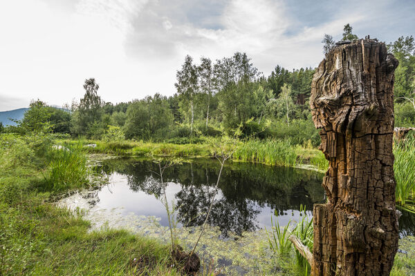
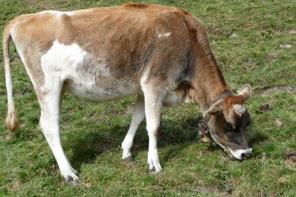
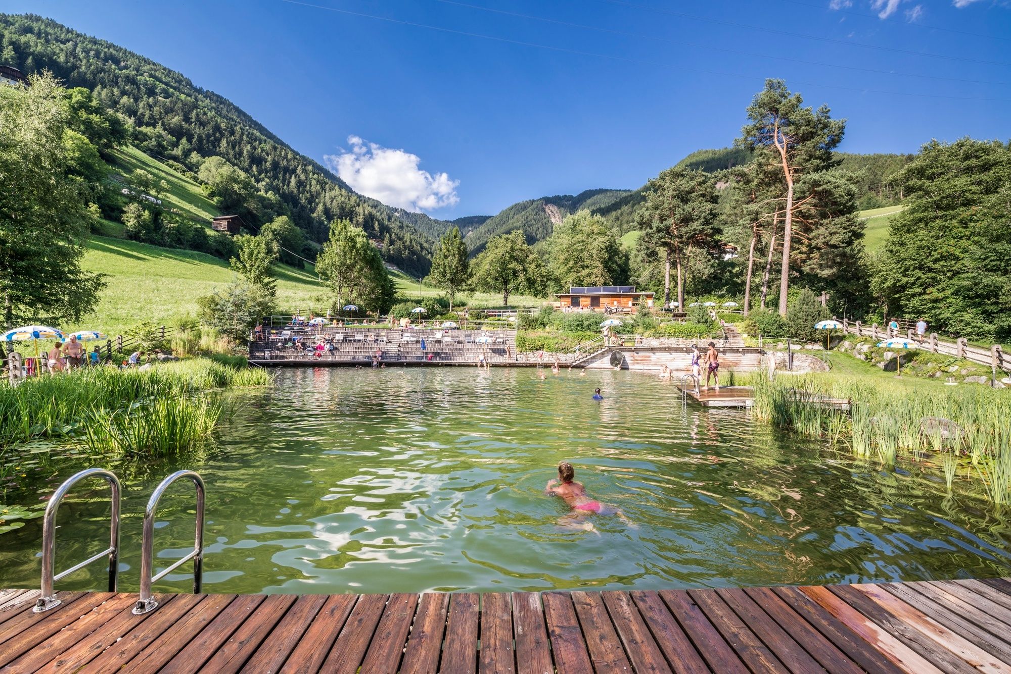
© Naturhotel LÜSNERHOF - Franz Hinteregger

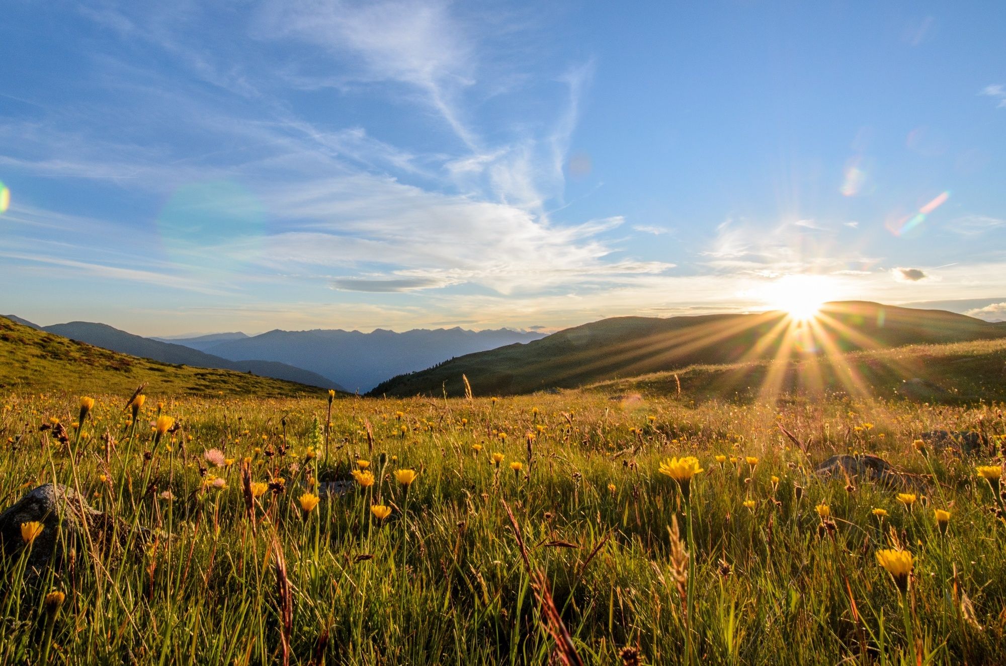
© Naturhotel LÜSNERHOF - Franz Hinteregger

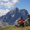
© Naturhotel LÜSNERHOF - Matthias Hinteregger

- Brief description
-
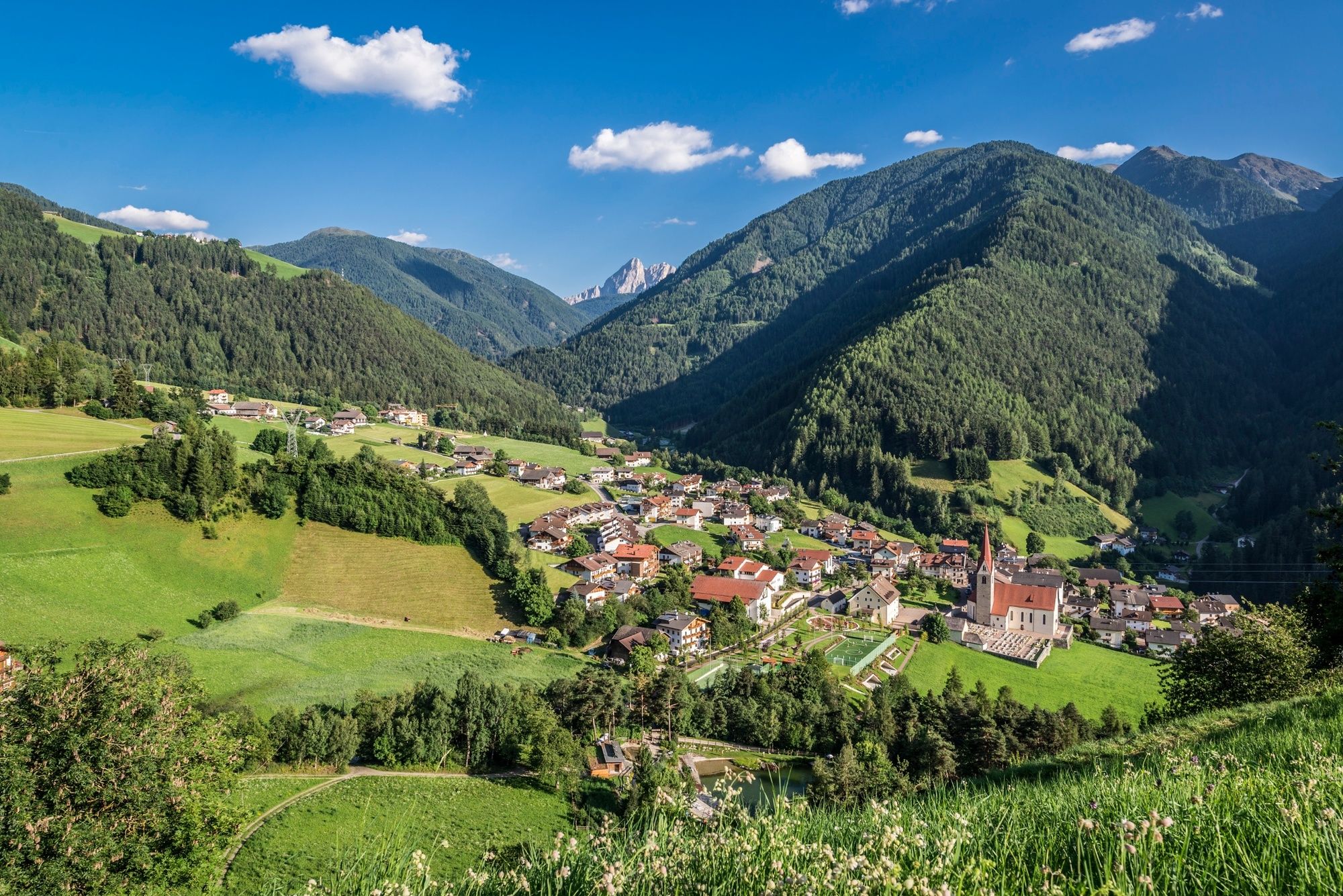
Rundwanderung über Wiesen und durch Wälder
- Difficulty
-
medium
- Rating
-
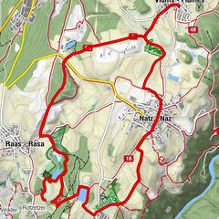
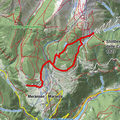
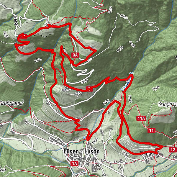
- Route
-
Gasthof Tulper5.5 kmLüsen9.4 kmRungg11.2 km
- Best season
-
JanFebMarAprMayJunJulAugSepOctNovDec
- Highest point
- 1,648 m
- Endpoint
-
Naturhotel Lüsnerhof
- Height profile
-
 © outdooractive.com
-
-
AuthorThe tour Die Lüsen-Berg-Wanderung is used by outdooractive.com provided.
GPS Downloads


Other tours in the regions
-
Brixen und Umgebung
1976
-
Gitschberg - Jochtal
672
-
Lüsen
246