
- Brief description
-
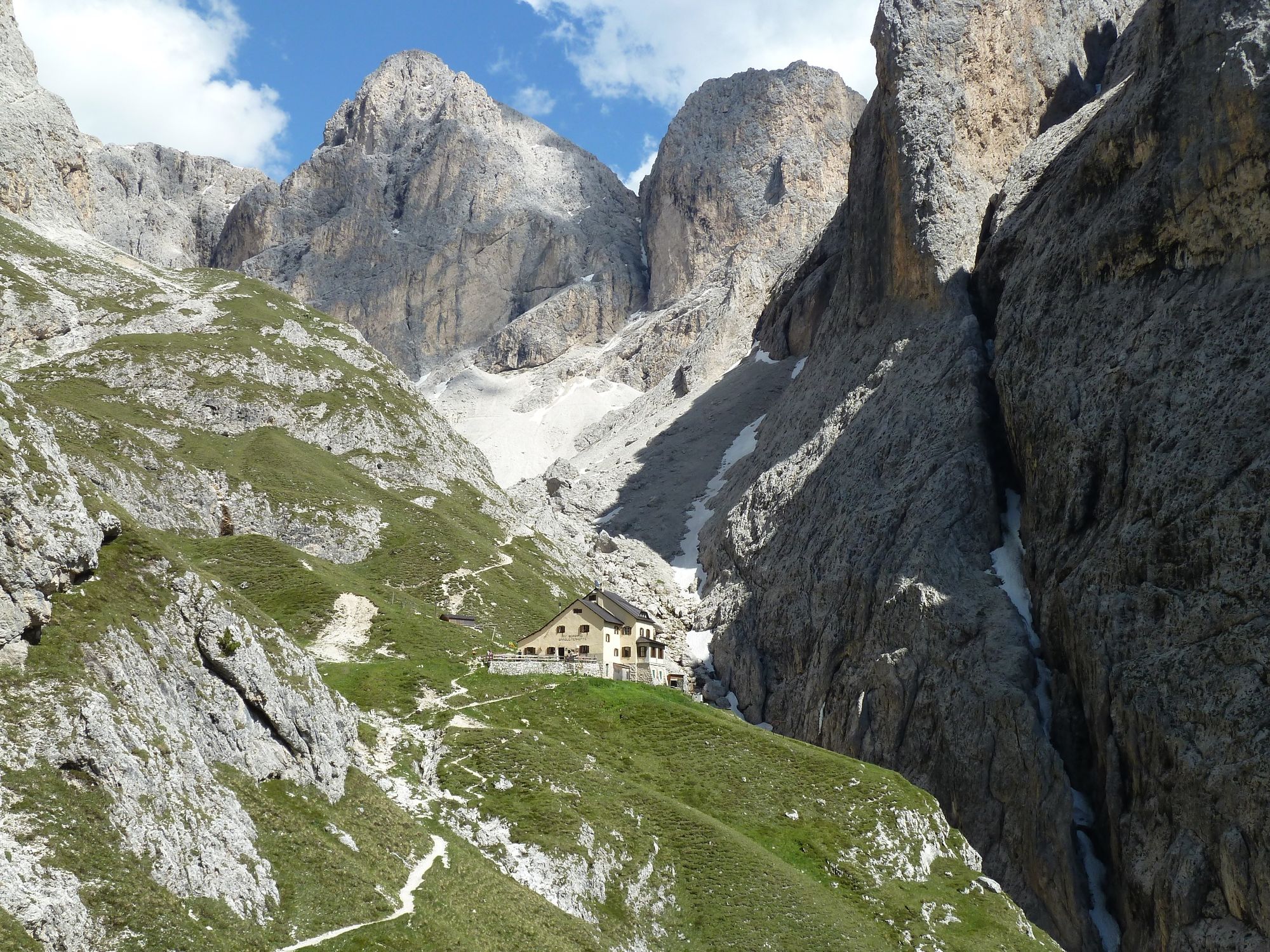
Beautiful position in the middle of the mountains.
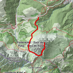
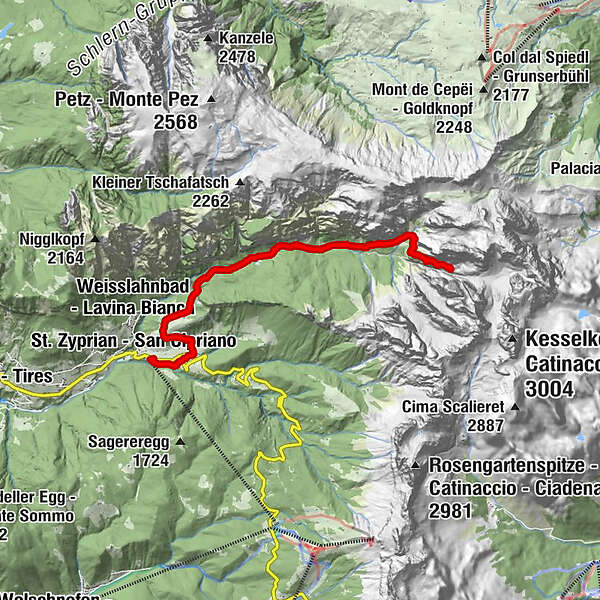
- Route
-
St. Zyprian0.1 kmUntertrumpedeller Schwaige2.2 kmSchwarzer Letten3.6 kmHohen Steg4.7 kmRechter Leger5.6 kmGrasleitenhütte8.6 kmRechter Leger11.6 kmHohen Steg12.6 kmSchwarzer Letten13.7 kmUntertrumpedeller Schwaige15.0 kmSt. Zyprian17.3 km
- Description
-
The hike starts in front of the hotel, crossing the street and going to the big parking lot. Here is starting a large gravel path. Follow this path for a couple of minutes. Arriving to a bridge, without passing it follow the path n. 7 in front of the bridge through the forest. Then you reach the street again which you cross one more time, then follow the path n. 13 to the Tschamin valley. After approx. 2 hours after the start you will reach the “Rechter Leger”, a clearing with a little hut and wonderful view. We keep walking straight on and after a while we arrive at junction and follow on the right path n. 3A which leads steeply uphill. After a short dip, the path takes you almost flat across alpine meadows to the Grasleiten hut (2.143 m). The ascent takes approximately 3 hours.
The way back is the same through the Tschamin valley.
- Highest point
- 2,130 m
- Height profile
-
 © outdooractive.com
-

-
AuthorThe tour To the rifugio Passo Principe is used by outdooractive.com provided.