- Rating
-
- Route
-
RatschingsStange (970 m)Pardaun (1,143 m)0.7 km
- Best season
-
JanFebMarAprMayJunJulAugSepOctNovDec
- Description
-
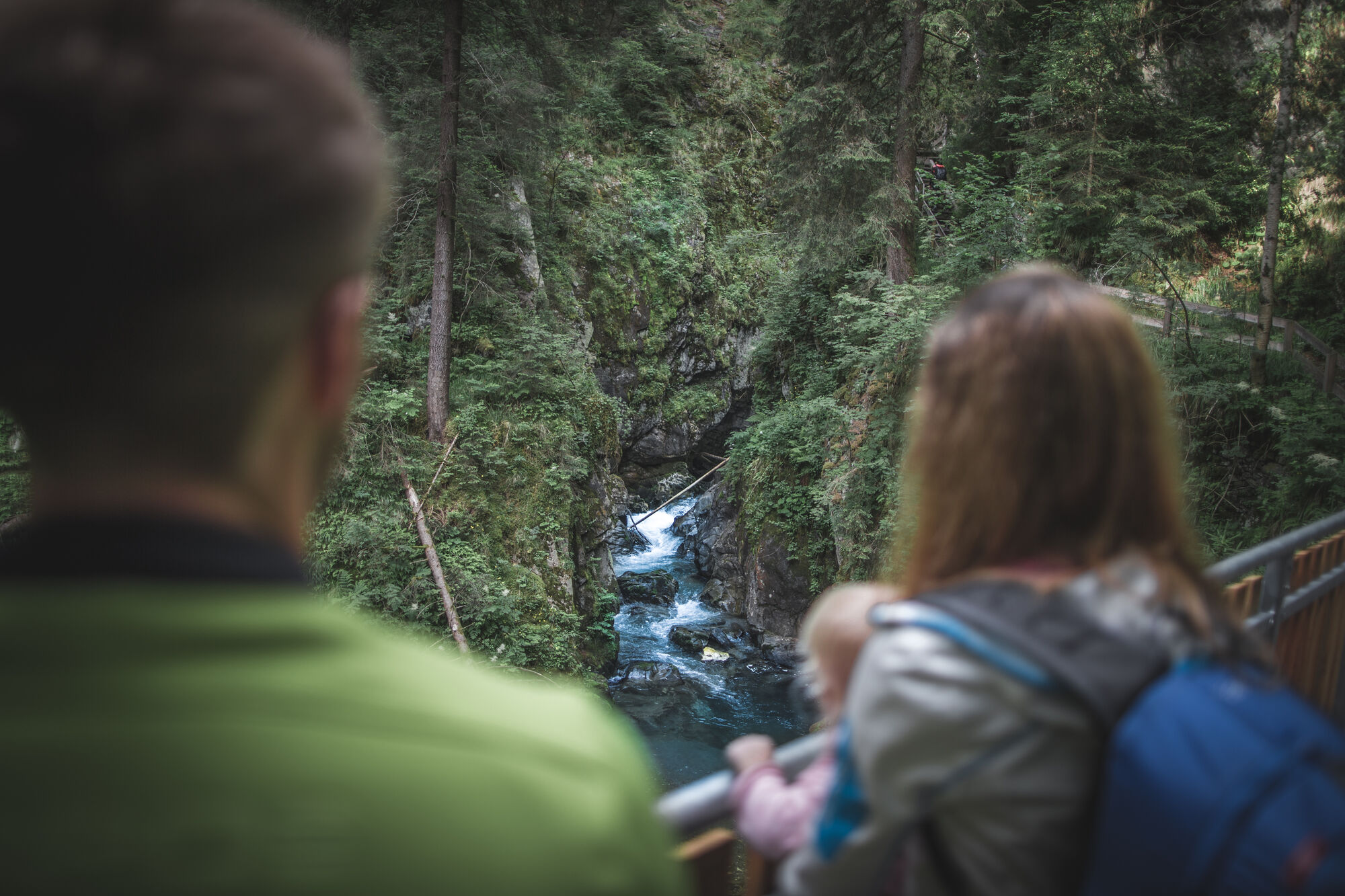
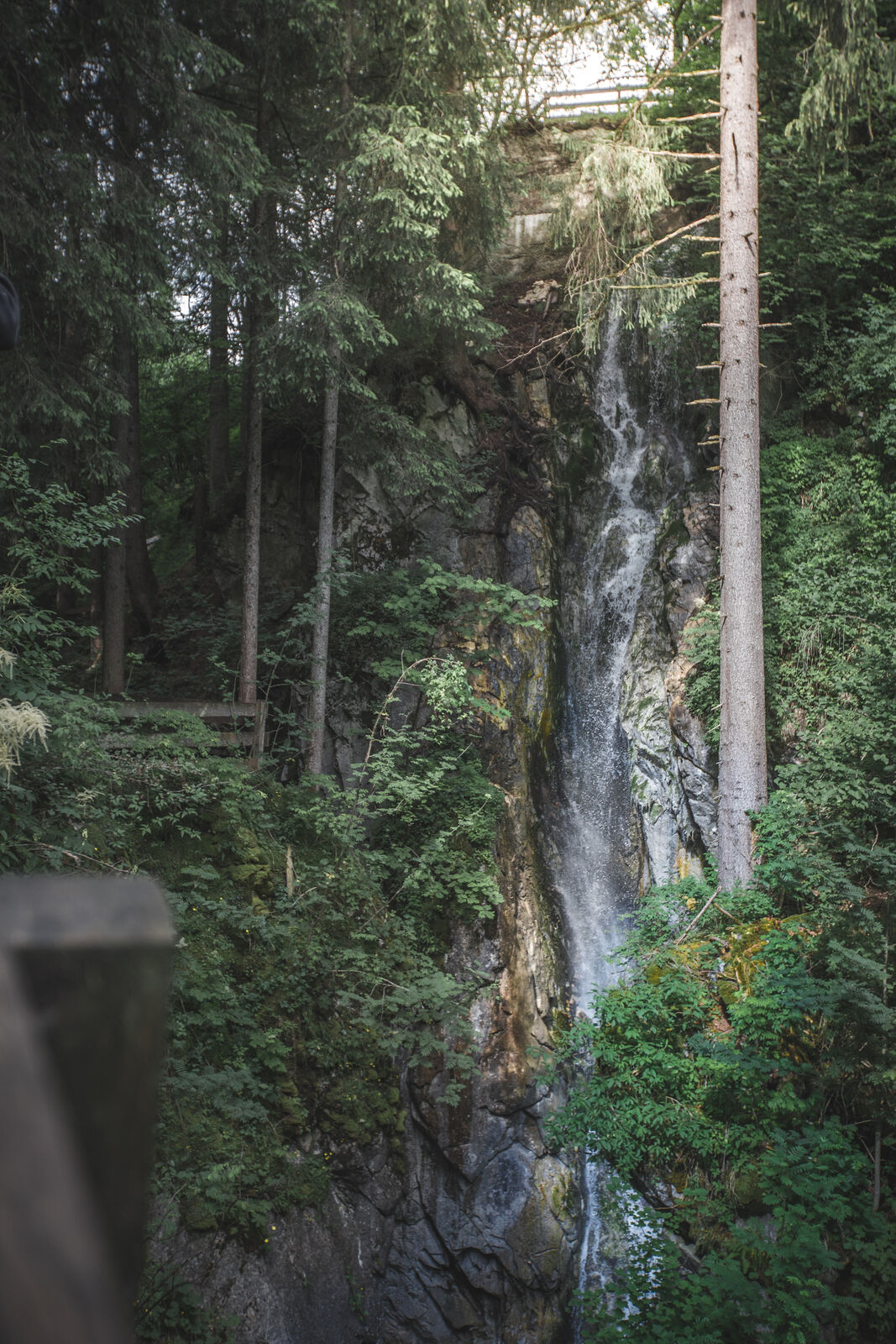
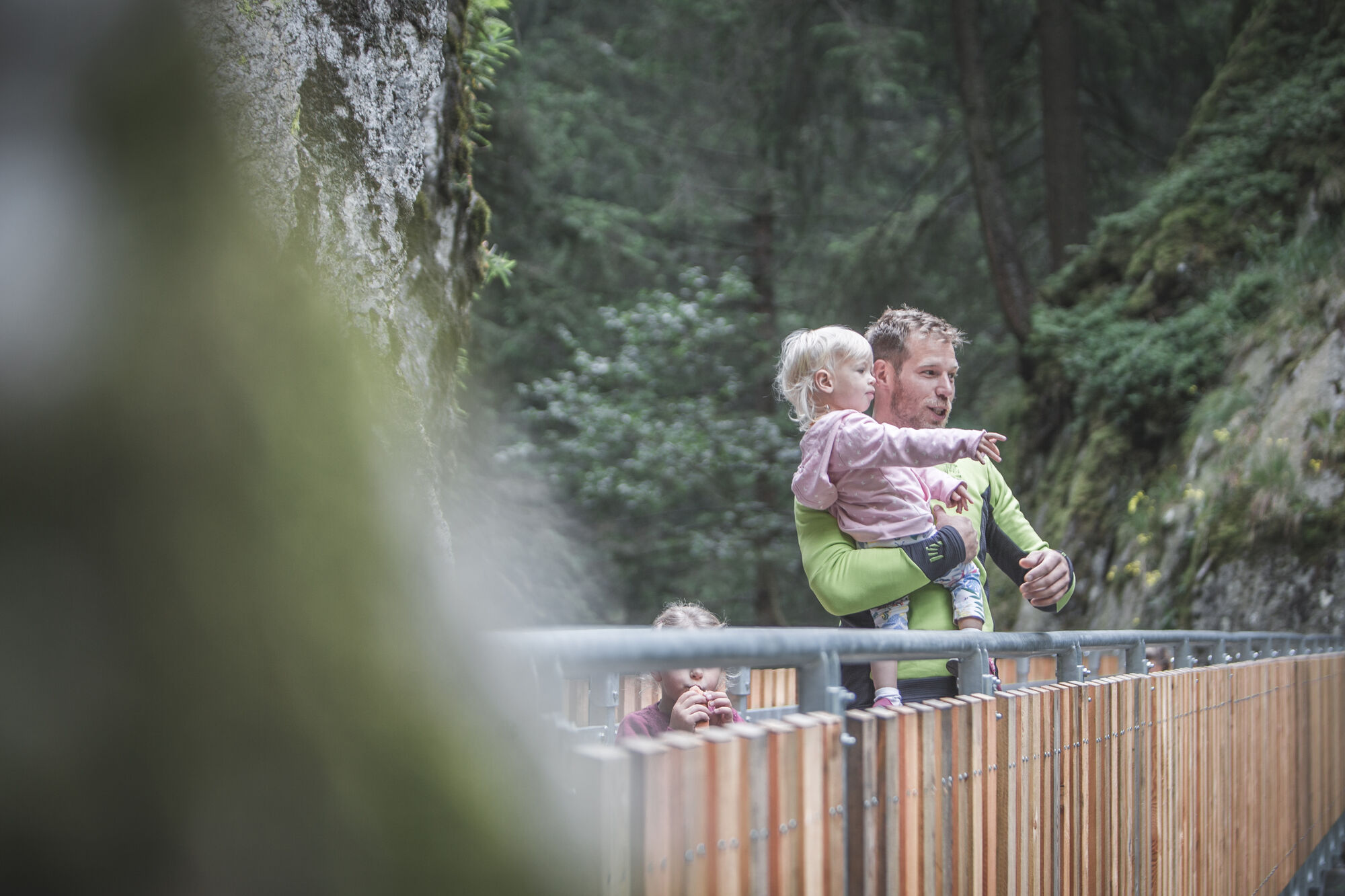
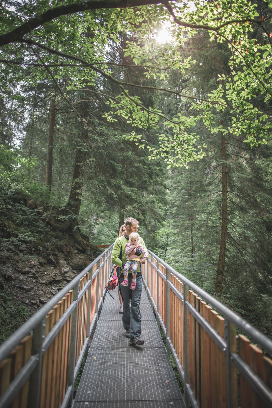
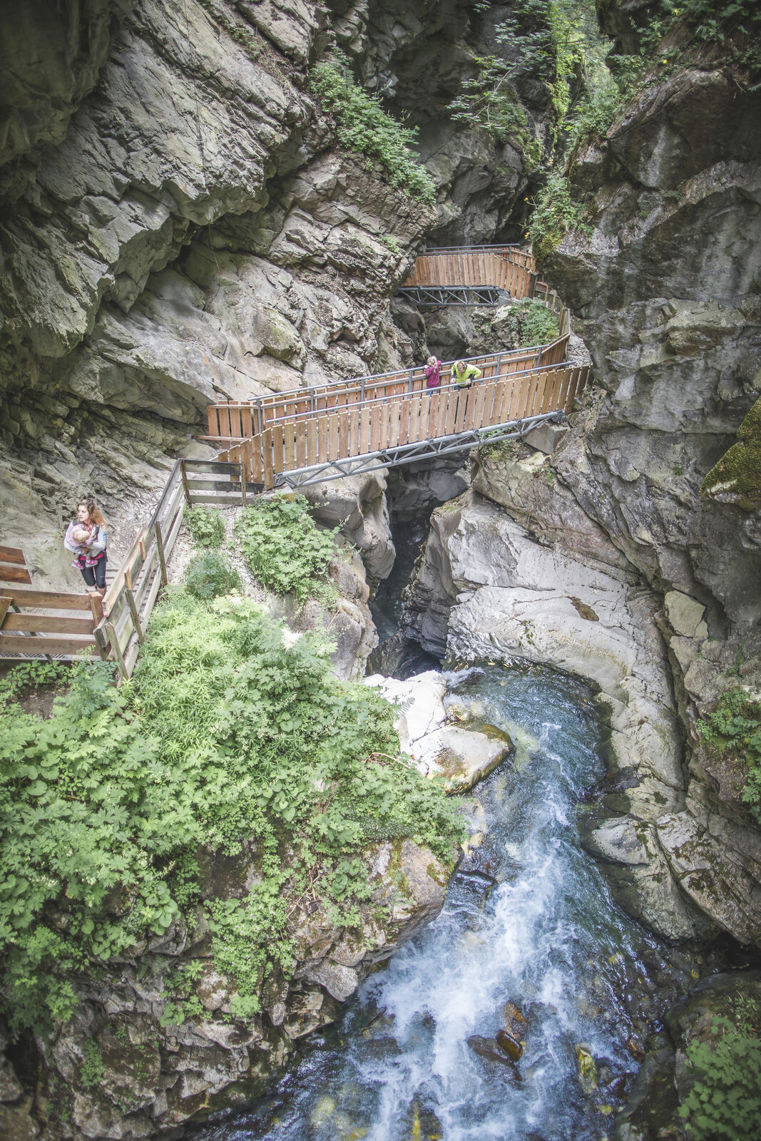
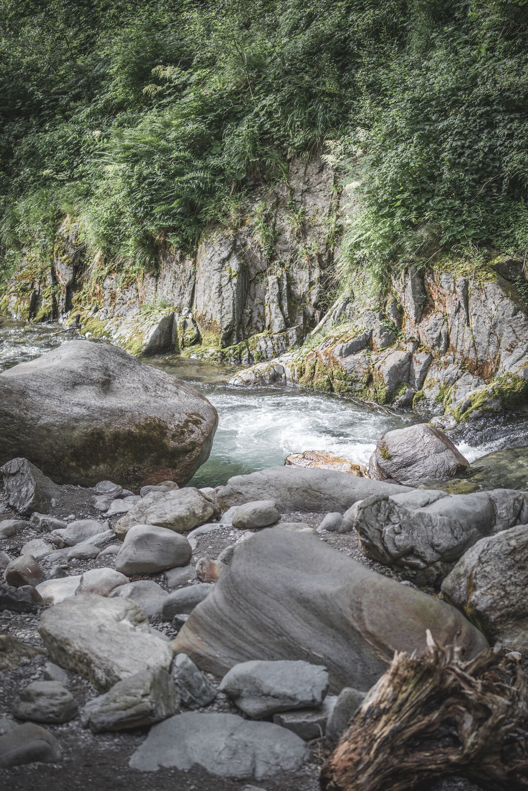
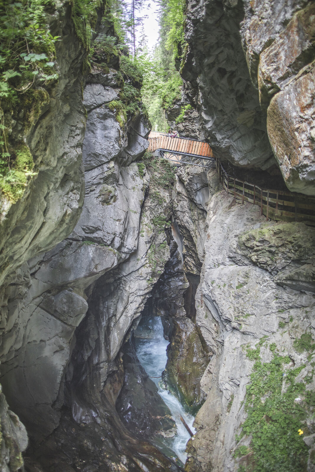
Cutting through pure white marble, which used to be coveted by stonemasons from all over the world and which shimmers here in every conceivable shade of green, the otherwise peaceful Ratschinger Bach stream becomes a raging torrent. By going down steep steps and over narrow bridges, you can get right down to the heart of the gorge, where a breathtaking natural scene awaits. The lower entrance to the Gilfenklamm gorge is in Stange/Stanghe, from where you walk along a level hiking trail to the entrance to the gorge, where the trail begins to climb gradually over bridges and along well-secured trails. Storming and raging, the wild waters of the Ratschinger stream tumble over numerous waterfalls, forcing themselves through narrow chasms between the steep cliff walls, which ensure that at the lowest, most impressive point - the so-called "church" - even the most dazzling sunshine is dimmed. Going from one bridge to another and up and down steps, you finally reach the end of the gorge. If you take your time, have good shoes and a camera, this hike is a memorable experience for all the family.
Difficulty level: easy
Time: from Stange to Jaufensteg: 45-60 min / descent: 45 min - Highest point
- 1,159 m
- Public transportation
-
Public bus 319 Sterzing - Ratschingstal
- Parking
-
Right next to the Stange sports zone (coming from Sterzing on the right-hand side of the road) there is a large car park which is available free of charge to visitors to the Gilfenklamm gorge.


Trail conditions
-
Brixen und Umgebung
1973
-
Eisacktal
729
-
Ratschings
100