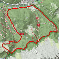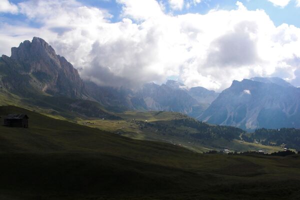

- Brief description
-
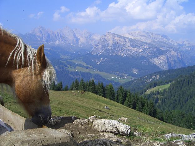
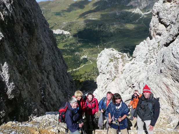
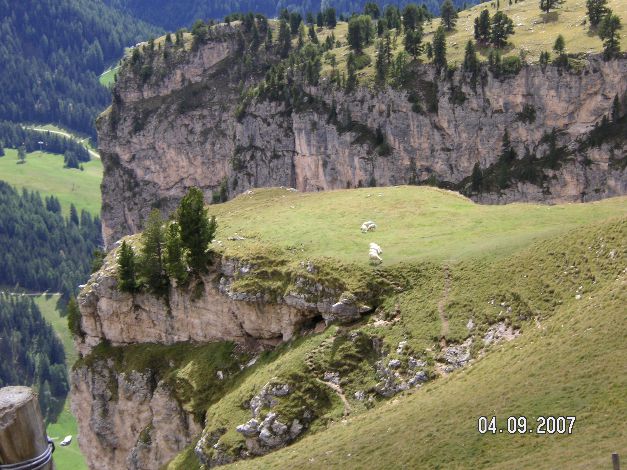
Wanderung auf steilen Terrain, etwas ausgesetzt
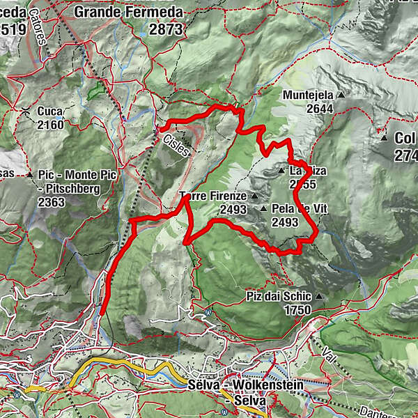
- Route
-
Regensburgerhütte1.0 kmPizascharte (2,489 m)3.3 kmSteviahütte4.4 kmSilvesterscharte (2,280 m)5.1 kmJuac Schutzhütte6.9 kmGherdëina Ronda9.4 kmCol Raiser (1,556 m)9.4 km
- Highest point
- 2,488 m
- Height profile
-
 © outdooractive.com
- Author
-
The tour Col Raiser - Steviahütte 2300 m, Naturpark is used by outdooractive.com provided.
GPS Downloads


Other tours in the regions