- Difficulty
-
easy
- Rating
-
- Route
-
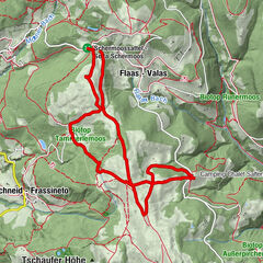
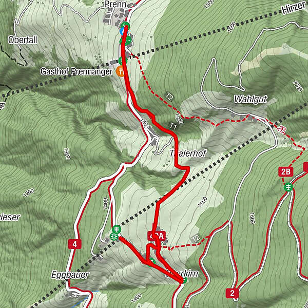
Gasthof Oberkirn (1,450 m)0.1 kmPrenn (1,404 m)1.4 kmSpeilplatz1.4 kmPfarrkirche St. Johannes und Paulus1.4 km
- Best season
-
JanFebMarAprMayJunJulAugSepOctNovDec
- Description
-
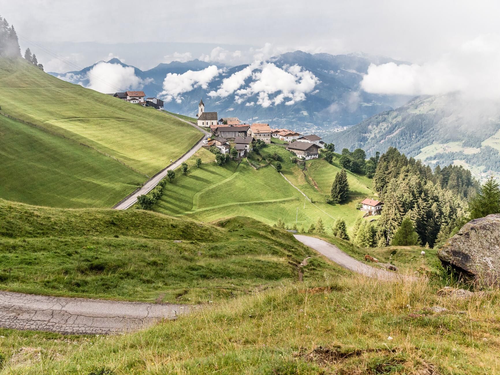
Just an easy, relatively flat walk away from the Verdins-Talle cable car mountain station lies the mountain village of Prenn. With its idyllic little church and an amazing view over the Val Passiria, Prenn is well worth a visit. The area is particularly suitable for those who like shorter hiking trails and our younger guests. Prenn also has numerous opportunities for that well-deserved pit stop so you can keep your body rested and refuelled.
- Directions
-
The starting point for this hike is the Verdins-Talle cable car mountain station. The first part of the journey goes to the Oberkirn Inn. It continues over a very pretty meadow trail (path no. 40A) past the rustic Portnerhof. Then, after a brief walk through the forest, you reach the mountain village of Prenn. The route back follows the same path, just in reverse.
- Highest point
- 1,472 m
- Height profile
-
 © outdooractive.com
 - Equipment
-
Hiking boots
- Safety instructions
-
Before setting out on your day excursion, please make sure of the weather and trail conditions.
- Directions
-
From Merano in the direction of Schenna and on to Verdins to the valley station of the cable car Verdins-Tall.
- Public transportation
-
Bus line 231 from Meran to Schenna/Verdins (bus stop: Verdins)
- Parking
-
Parking lot cable car Verdins
- Author
-
SchennaThe tour Walking route to the mountain village of Prenn is used by outdooractive.com provided.


General info
-
Meraner Land
1736
-
Passeiertal
798
-
Riffian - Kuens
319