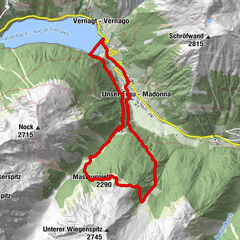
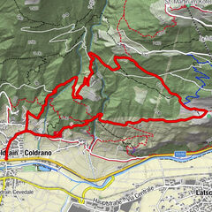
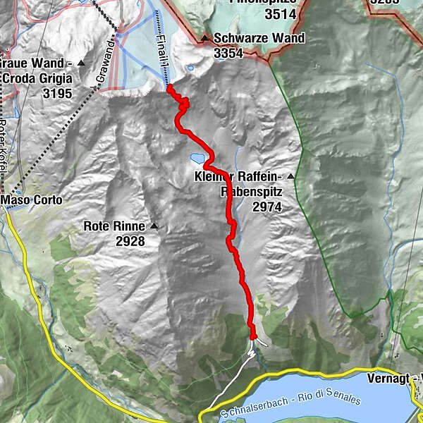
Tour data
9.09km
1,959 - 3,133m
Distance
1,178hm
1,176hm
Ascent
04:10h
 
Duration
Brief description

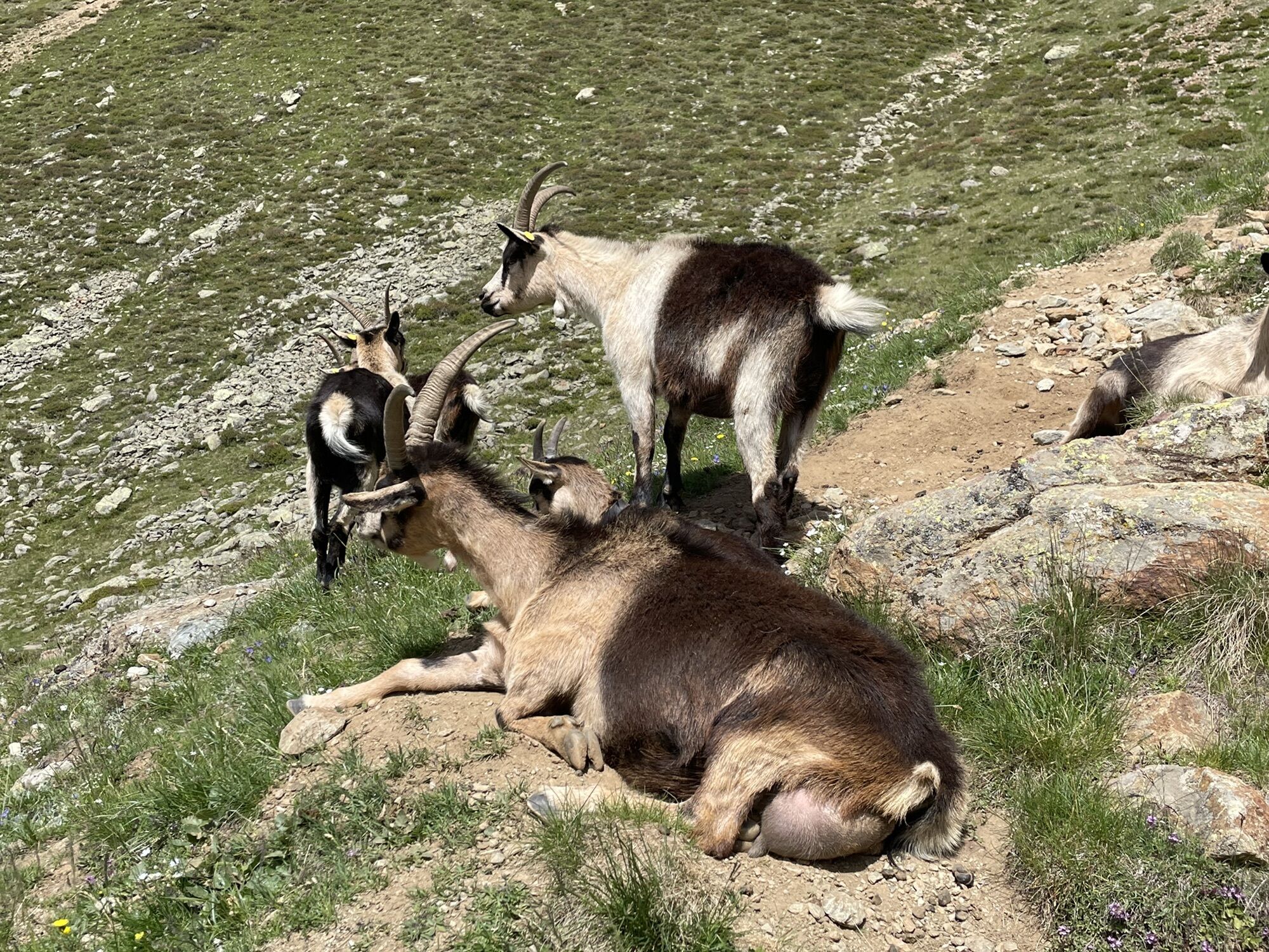
Hoch bis zum Joch ?!

Difficulty
medium
Rating
Technique
Fitness
Landscape
Experience

Best season
Jan
Feb
Mar
Apr
May
Jun
Jul
Aug
Sep
Oct
Nov
Dec
Highest point
3,133 m

Overall rating

5

0

%

4

0

%

3

0

%

2

0

%

1

0

%

Error
An error has occurred. Please try again.
Thank you for your review

Rating has been deleted

GPS Downloads
  • GPX GPS Exchange Format (XML)
  • KML Google Earth, Google Maps
QR Download Codes for Mobile Phones
Other tours in the regions

Popular tours in the area

The Meran High Mountain Road from Leiter Alm hut

difficult Hiking
92.72km | 3966hm | 23:59h

Vorderkaser - Eishof / Texelgruppe

easy Hiking
4.83km | 355hm | 01:30h

Von Vernagt zur Mastaunspitze

medium Hiking
11.18km | 940hm | 03:45h

Circular hike Goldrain

medium Hiking
8.23km | 528hm | 03:00h