- Difficulty
-
medium
- Rating
-
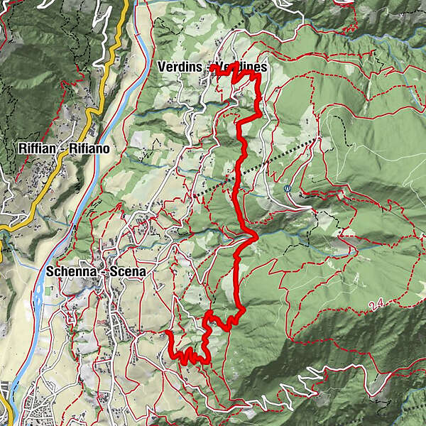
- Route
-
VerdinsGasthaus Dorfstub'mBuschenschank Salfgut6.4 kmSt. Georgen7.7 km
- Best season
-
JanFebMarAprMayJunJulAugSepOctNovDec
- Description
-
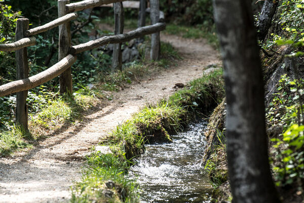
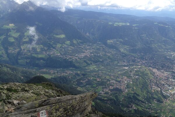
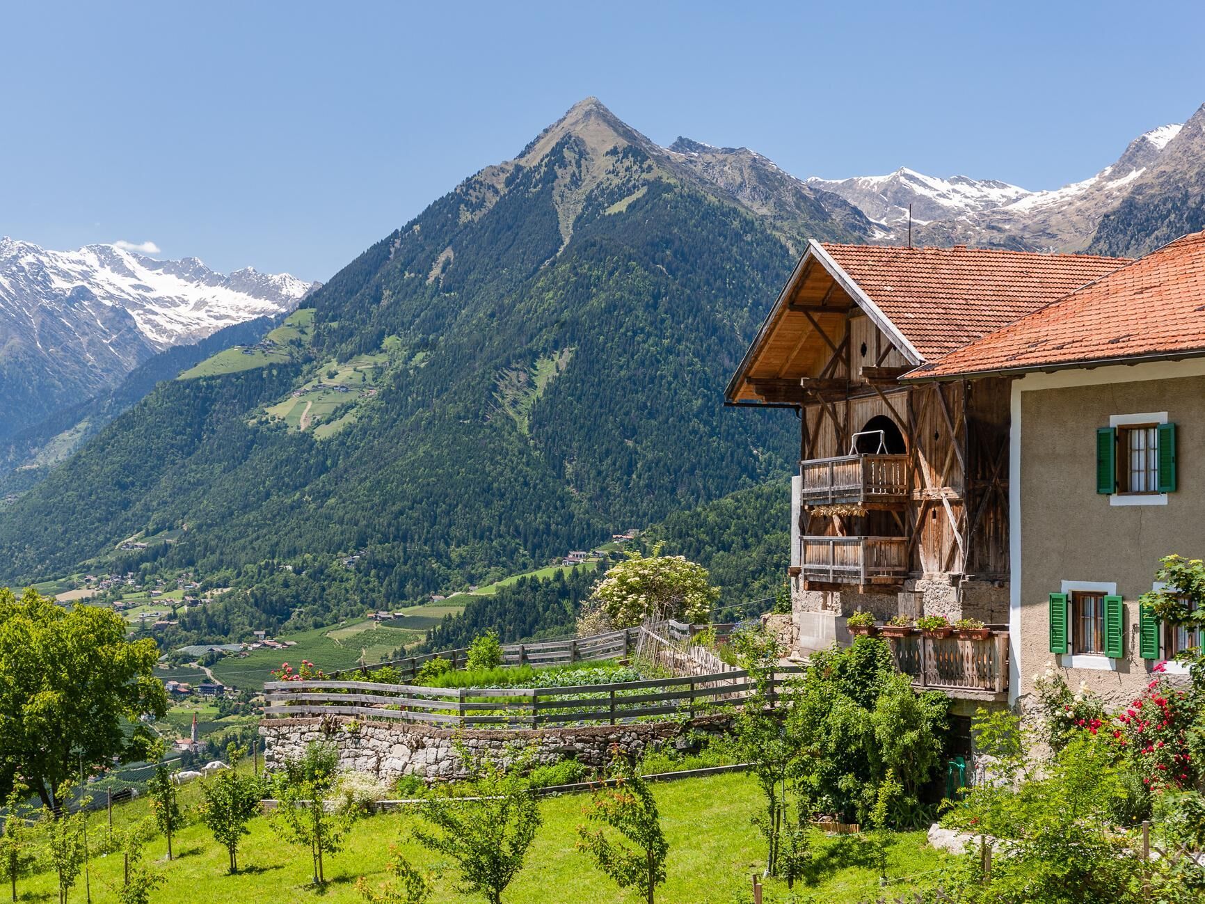
The Höfeweg above Schenna provides insights into the rural cultural and natural landscape. The combination of historic farmsteads and fabulous views of Merano and its environs make this hike a genuine delight.
- Directions
-
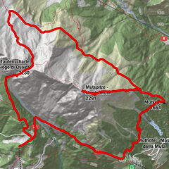
Following the Wiesersteig trail no. 16, which begins near the Parish Church in Verdins, the route leads to the Hofweg trail which winds uphill past the Hoferhof to the Vallplatz and Holzner inns. Passing the Zmailer, Rastl and Salfgut farms, the trail eventually, after around two hours’ walking, leads down to St. Georgen to the service bus and back to the starting point.
- Highest point
- 1,093 m
- Height profile
-
 © outdooractive.com
 - Equipment
-
Hiking boots
- Safety instructions
-
Before setting out on your day excursion, please make sure of the weather and trail conditions.
- Tips
-
Visit of the church in Verdins
- Directions
-
From Merano in the direction of Schenna and on to Verdins
- Public transportation
-
Bus line 231 from Meran to Schenna/Verdins (bus stop: Verdins)
- Parking
-
Parking lot Verdins
- Author
-
SchennaThe tour The Höfeweg (Farm Trail) on the Schennaberg is used by outdooractive.com provided.


General info
-
Meraner Land
1737
-
Passeiertal
799
-
Schenna
307