Schöne Aussicht - Kurzras im Schnalstal - Vernagt am See - Similaun Hütte


- Brief description
-
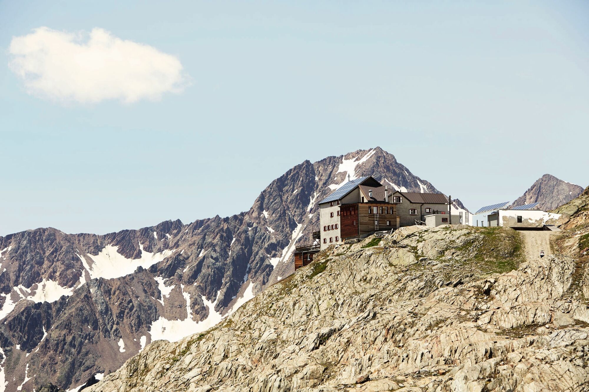
SCHÖNE AUSSICHT -> Kurzras im Schnalstal -> Vernagt am See -> SIMILAUNHÜTTE
- Difficulty
-
medium
- Rating
-
- Starting point
-
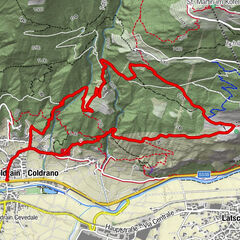
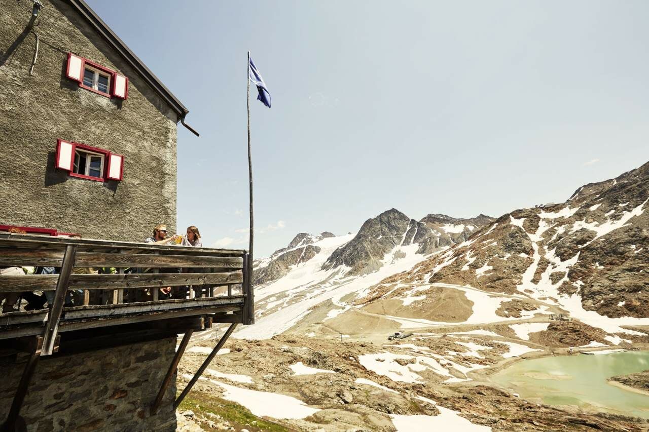
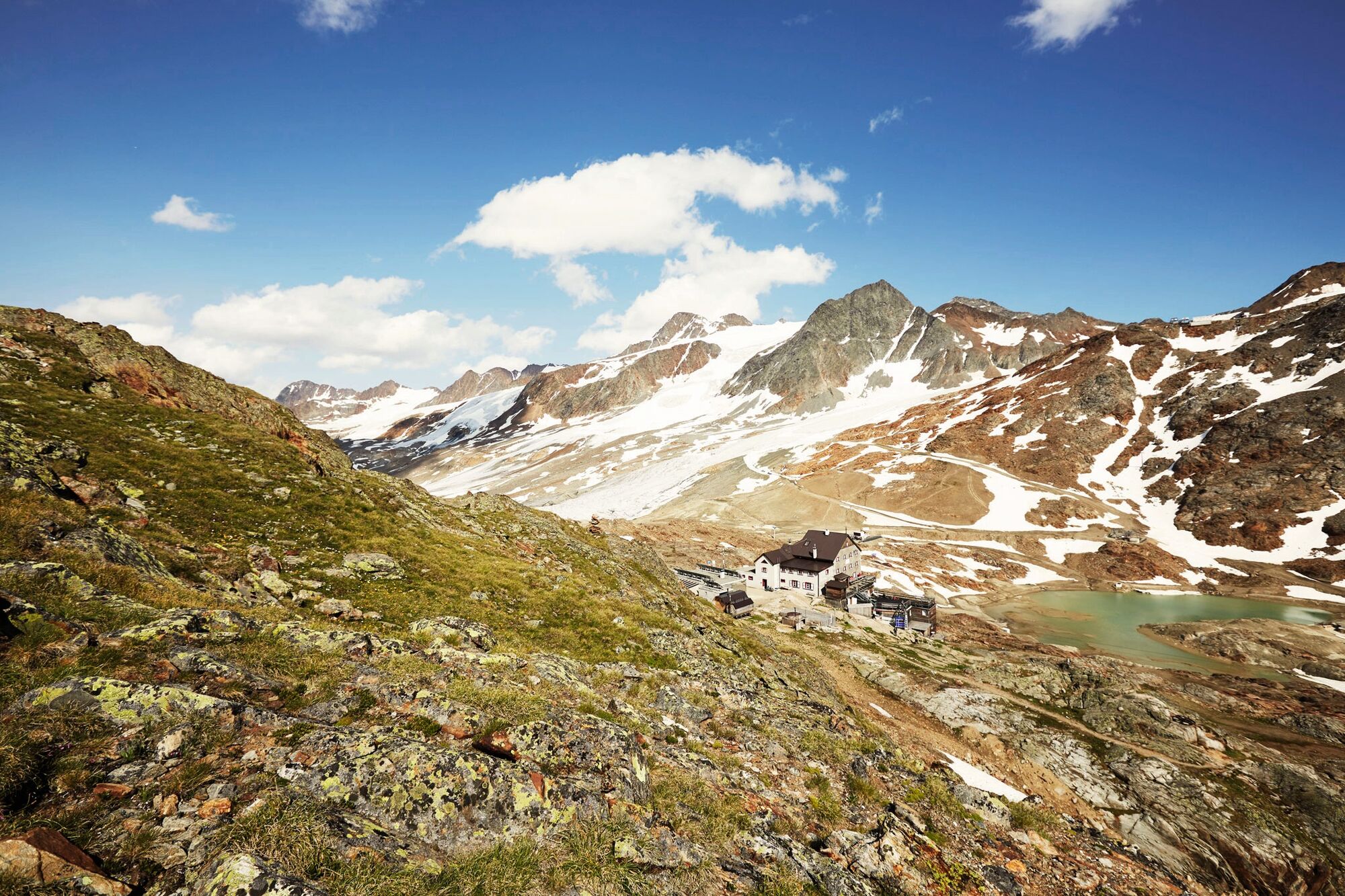
Schöne Aussicht
- Route
-
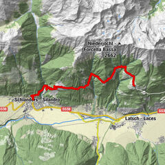
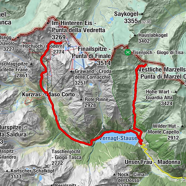
Piccolo Hotel Gurschler4.5 kmKurzras (2,011 m)4.5 kmGasthaus Gerstgras (1,790 m)7.6 kmDas Leiterkirchl11.9 kmVernagt13.5 kmTisenhof (1,814 m)14.0 kmSimilaunhütte19.0 kmNiederjoch (3,012 m)19.0 km
- Best season
-
JanFebMarAprMayJunJulAugSepOctNovDec
- Description
-
From Schönen Aussicht descent to Kurzras im Schnalstal (1 ½ hour), there with the bus to Vernagt am See and from Vernagt am See to the Similaun Hütte (1300 m ascent/4 - 5 hours).Bus connections Schnalstal you can find here: www.sii.bz.it – from Kurzras to Unser Frau
- Directions
-
From Schönen Aussicht descent to Kurzras im Schnalstal (1 ½ hour), there with the bus to Vernagt am See and from Vernagt am See to the Similaun Hütte (1300 m ascent/4 - 5 hours).Bus connections Schnalstal you can find here: www.sii.bz.it – from Kurzras to Unser Frau
- Highest point
- 3,005 m
- Endpoint
-
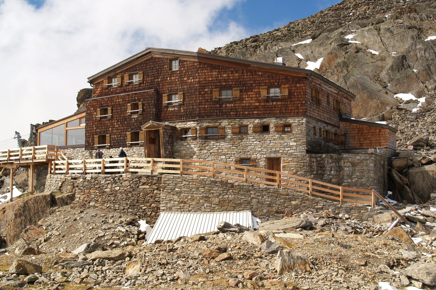
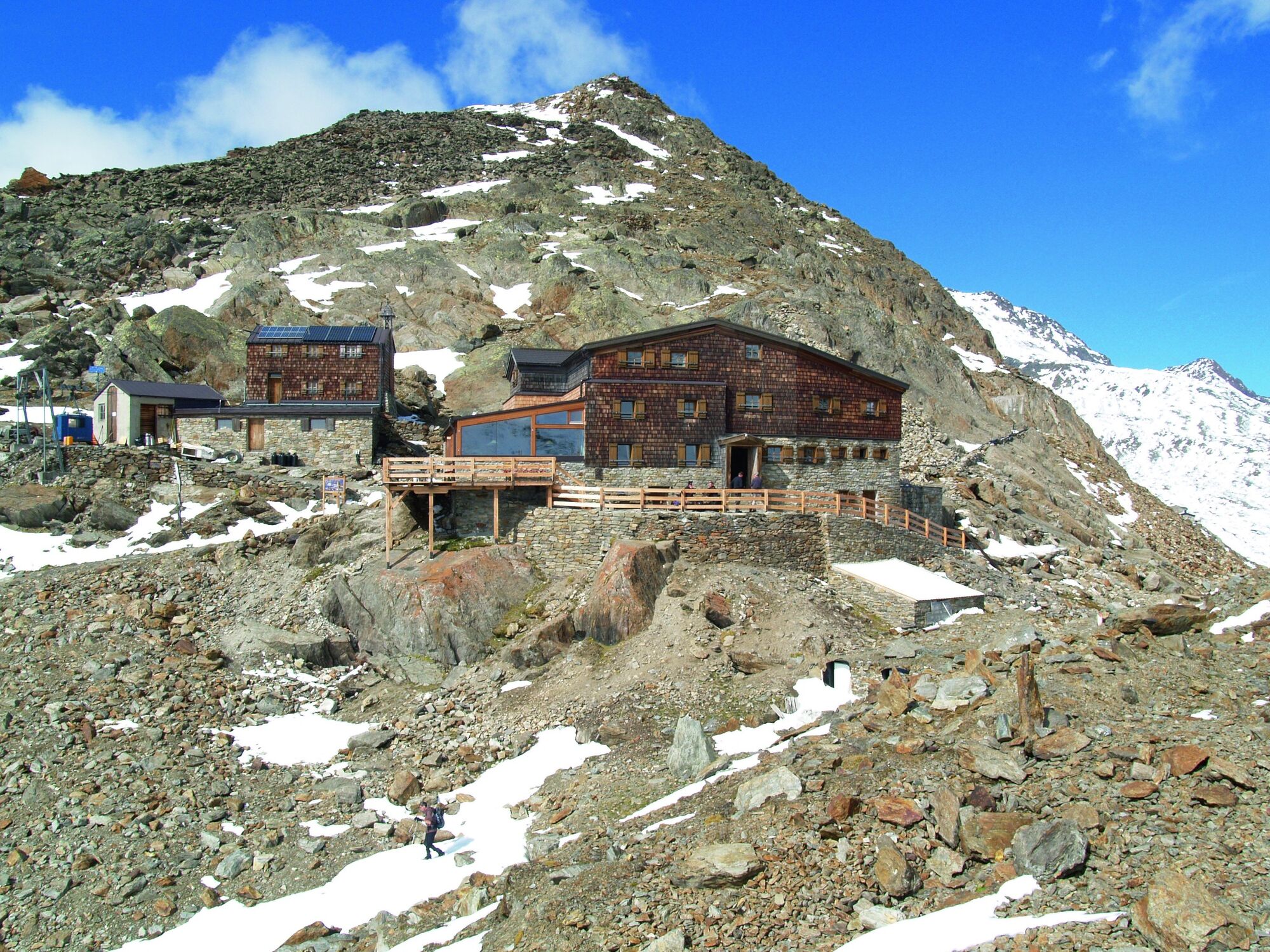
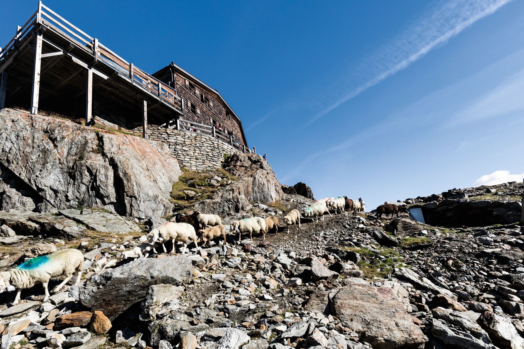
Similaunhütte
- Height profile
-
 © outdooractive.com
 - Equipment
-
Appropriate equipment such as breathable suitable outdoor clothes for the weather, ankle-high walking boots, wind-, rain- & sun protection, hat, possibly gloves, is for all hikes and tours necessary. Please bring a first-aid box, a mobile phone, a walking map and if there is no hut on the way a snack and enough to drink.
- Safety instructions
-
Moderate mountain trail; for sure-footed and experienced hikers. Good physical condition, mountain experience & mountain equipment (see notice equipment) necessary. Please pay attention to the current weather report: www.oetztal.com
- Tips
-
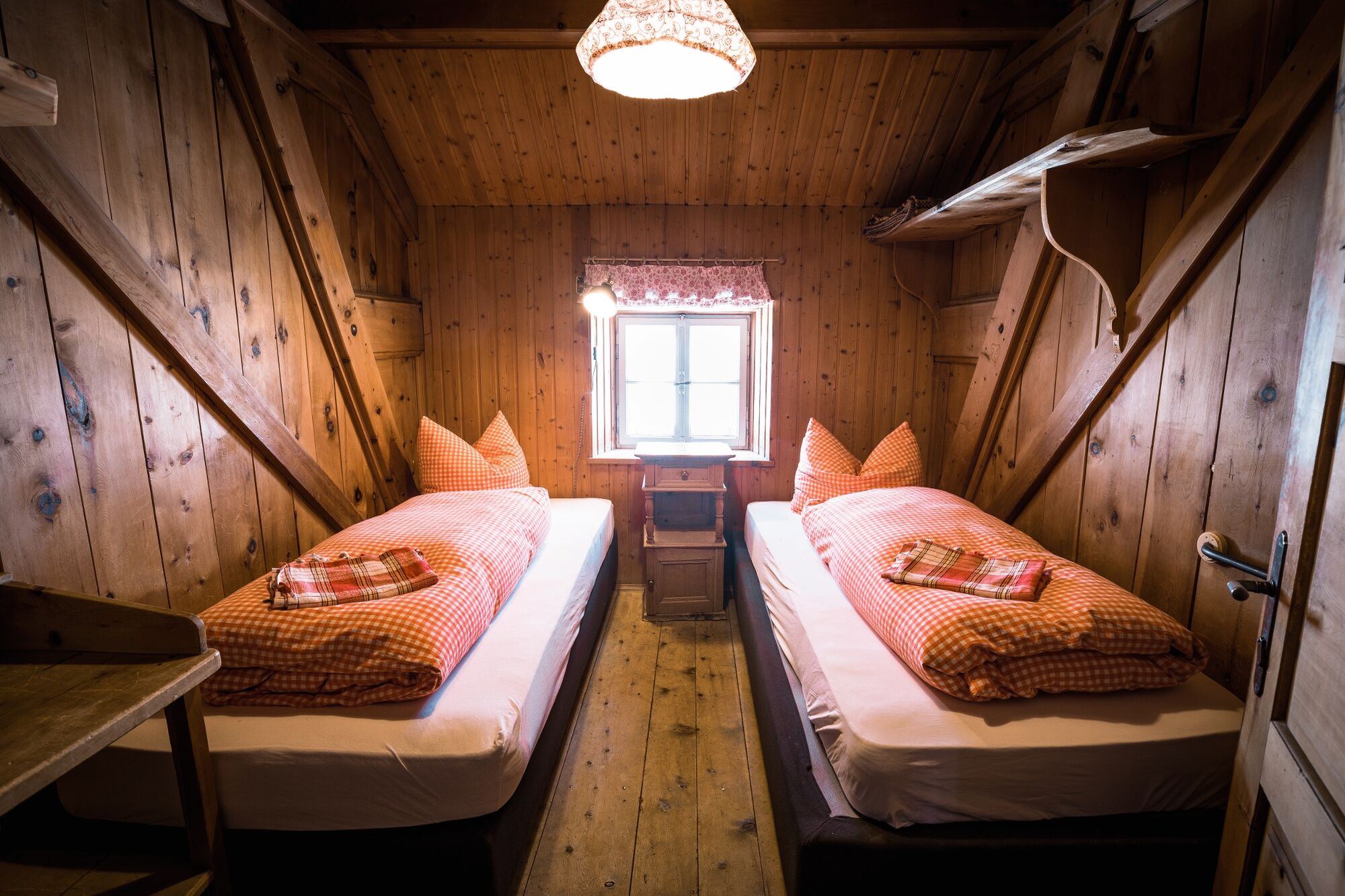
Reservation of the hut sleeping places necessary!
- Additional information
-
More details about hiking In Ötztal: www.oetztal.com/wandern
- Arrival
-
The car drive to the Ötztal valley. Situated in Tirol, the Ötztal valley set off in southerly direction and is the longest side valley in the Eastern Alps. The journey with the car leads you through the Inntal valley to the entrance of the valley and further on through the valley. Among the toll motorways you can also use the country roads. A route planner will show you the easiest and most convenient way: https://www.google.at/maps
- Public transportation
- Parking
-
The following parking options are available in the mountaineering village Vent
- In summertime in front of the village (parking machine, only coins or EC card) and at the chairlift (at the ticket office of the mountain railways)
- In wintertime only at the chairlift
Cost: € 5,00 per day/car
- Author
-
The tour Schöne Aussicht - Kurzras im Schnalstal - Vernagt am See - Similaun Hütte is used by outdooractive.com provided.


General info
-
Vinschgau
1278
-
Schnalstal
591
-
Kurzras
119