
- Brief description
-
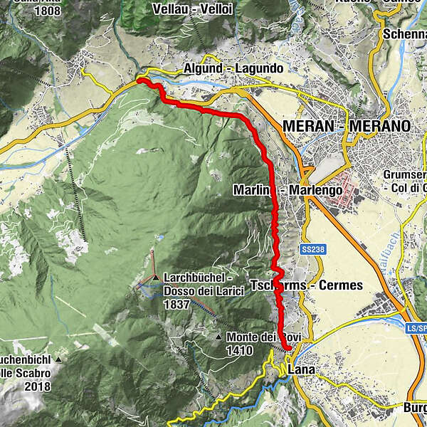
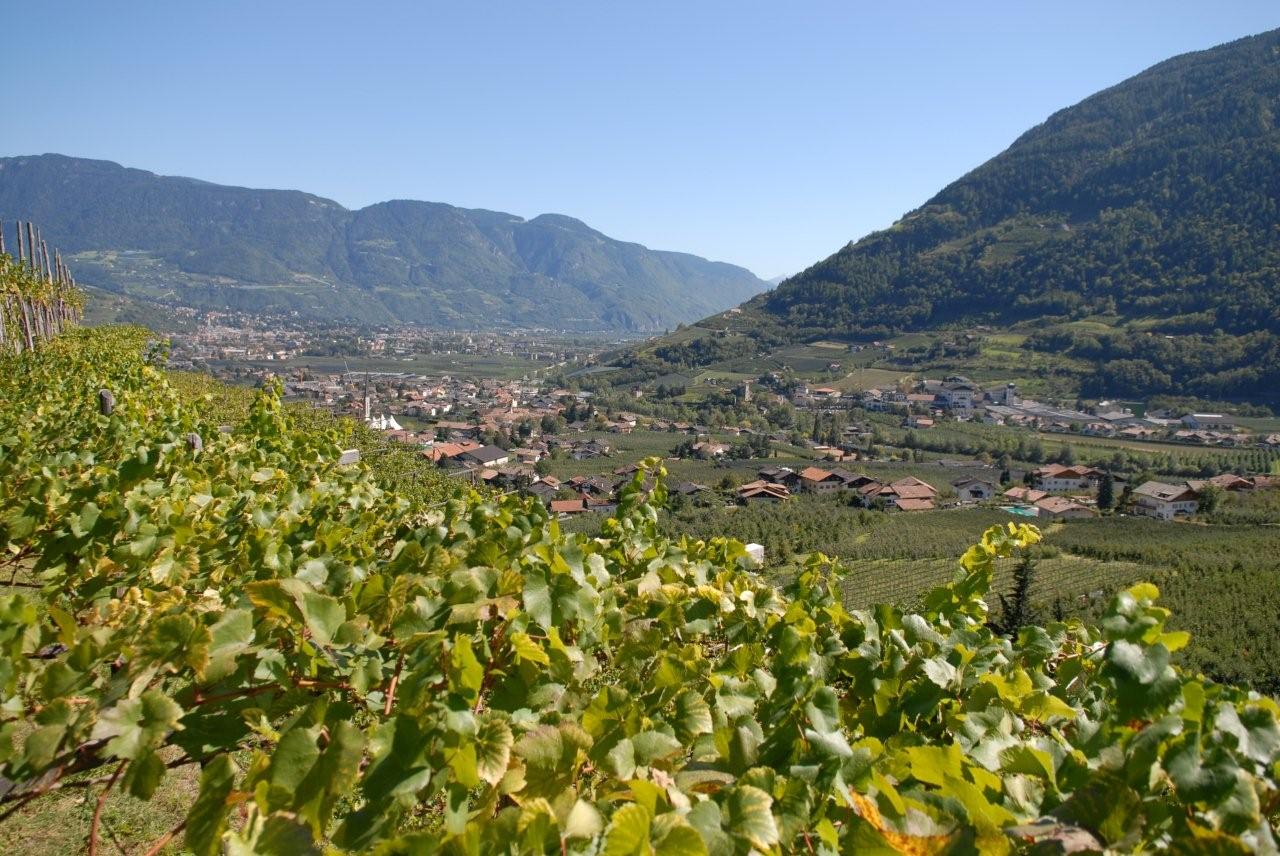
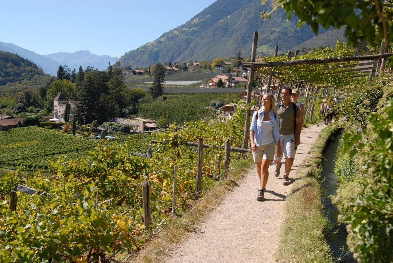
Einfacher, gut zu gehender Waalweg oberhalb des Meraner-Beckens mit vielen Einkehrmöglichkeiten
- Starting point
-
Töll
- Route
-
Meran4.4 kmMarling5.1 kmLana9.9 km
- Highest point
- 505 m
- Height profile
-
 © outdooractive.com
 - Directions
-
With the car to the
- Public transportation
-
With the Tourist-Shuttle-Bus to Merano and than to the

-

-
AuthorThe tour Marlinger Waalweg is used by outdooractive.com provided.
GPS Downloads


Other tours in the regions
-
Meraner Land
1736
-
Meran und Umgebung
757
-
Marling
300