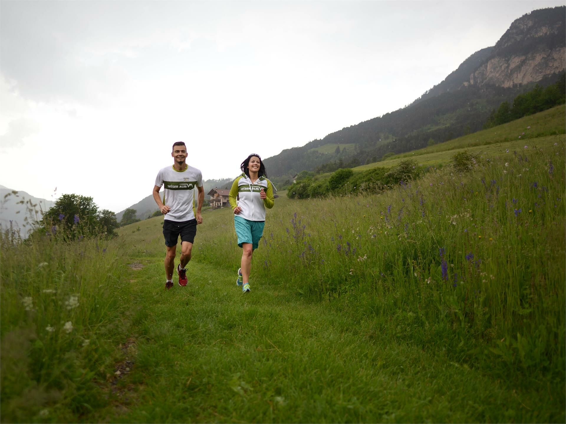
© Dolomitenregion Seiser Alm - SAM/Petra Cola
- Difficulty
-
medium
- Rating
-
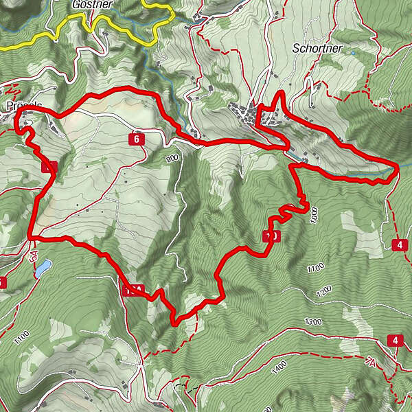
- Route
-
Ums0.0 kmSt. Martin0.0 kmPrösels2.4 kmSankt Nikolaus2.4 kmUms8.6 kmSt. Martin8.7 km
- Best season
-
JanFebMarAprMayJunJulAugSepOctNovDec
- Description
-
Beginning in Ums, this is one of the most scenic routes to the Schnaggenkreuz.
- Directions
-
The route begins at the church square of Ums and runs initially down a paved road down towards Prösels, followed by a forest road through meadowls with a fabulous view over Ums. When you come to Presule, you begin the long, fairly steep ascent through beautiful forests to the Schnaggenkreuz. Here in particular, you need a good level of physical fitness and a lot of stamina. After another uphill stretch, the route links up with the trail leading back down to Ums.
- Highest point
- 1,077 m
- Height profile
-
 © outdooractive.com
- Author
-
The tour Schnaggenkreuz Loop is used by outdooractive.com provided.
GPS Downloads


Other tours in the regions