

- Brief description
-
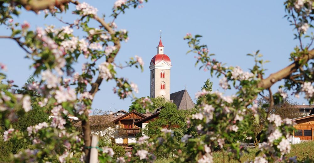
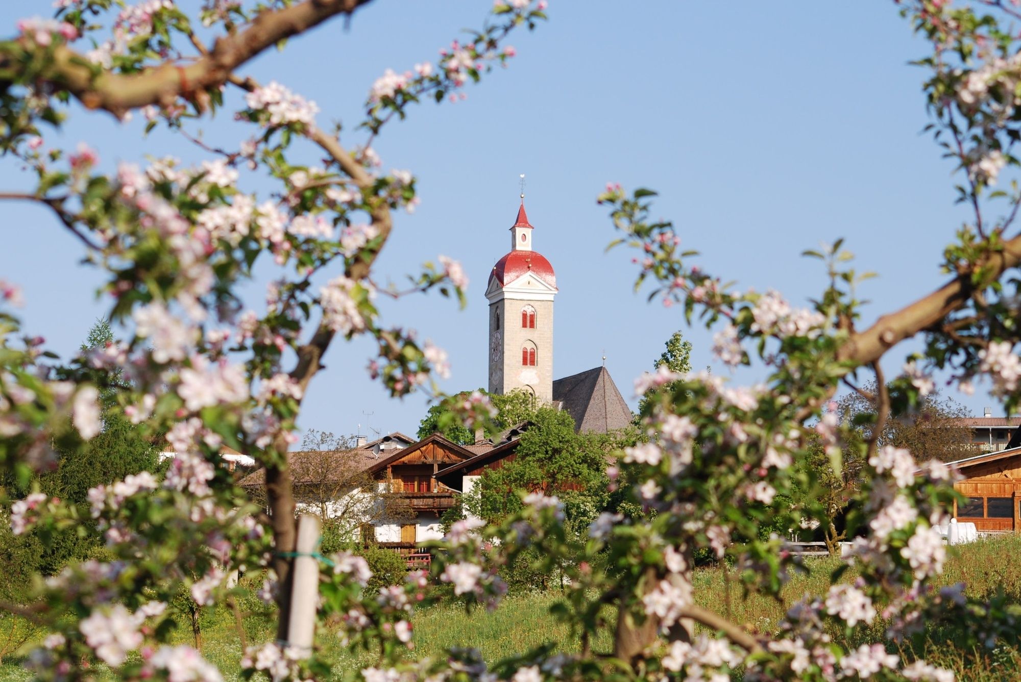
This educational trail gives an insight into apple growing in Naz-Sciaves and the apple region of South Tyrol. On this mostly flat route, there are numerous opportunities to stop and rest along the way. This apple tour is particularly exciting, it is a walk through a unique sea of blossom.
- Starting point
-
Church square in Naz|Natz (889m)
- Route
-
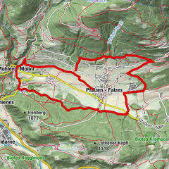
Natz0.0 kmGasthof Anich0.0 kmPhilipp- und Jacobkirche0.0 kmPizzeria Goldener Apfel0.1 kmHofschänke Walderhof0.1 kmRaas3.2 kmPhilipp- und Jacobkirche7.6 kmNatz7.6 km
- Directions
-
From the church square in Naz (889m) the apple trail (signed along the way) leads into the town, northward to Fiumes/Viums, then left onto a farm road to Sommersürs biotope, follow the route left after the biotope to Apfelweg information board and on to Flötscher Weiher (opportunities to stop). Continue on the route to the junction, here cross Hauptstraße main street and then continue along the signposted Apfelweg trail. On the flat forest path between field and forest, southward at Mesnerbühel hill to Moserhof farm at Rasa along to Raiermoos biotope lake (837m) with its fascinating plants and animals.
From here, the Apfelweg trail ascends to a large reservoir, go on to Hauptstraße main street, where after a short while, it follows a fork southward. Take note of the Apfelweg signs and follow the farm road at Laugensee biotope eastward, descending into orchards and deep forests. Now northward through the forest you will reach Ölberg hill. You can take a rest here on reclining chairs. The Apfelweg trail leads left at the hill on the Stations of the Cross, climbing to the outskirts of Naz.
- Highest point
- 897 m
- Endpoint
-
Church square in Naz|Natz (889m)
- Height profile
-
 © outdooractive.com
- Author
-
The tour Apfelweg Apple Trail in Naz-Sciaves|Natz-Schabs is used by outdooractive.com provided.


-
Brixen und Umgebung
1976
-
Gitschberg - Jochtal
672
-
Natz-Schabs
221