© Skitour Magazin - Stefan Loibl
© Skitour Magazin - Stefan Loibl
© Skitour Magazin - Stefan Loibl
© Skitour Magazin - Stefan Loibl
- Brief description
-
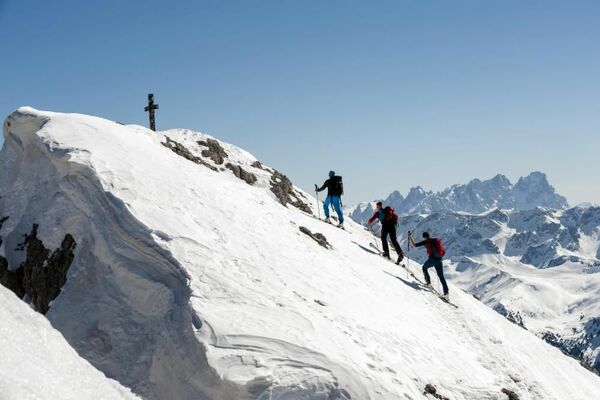
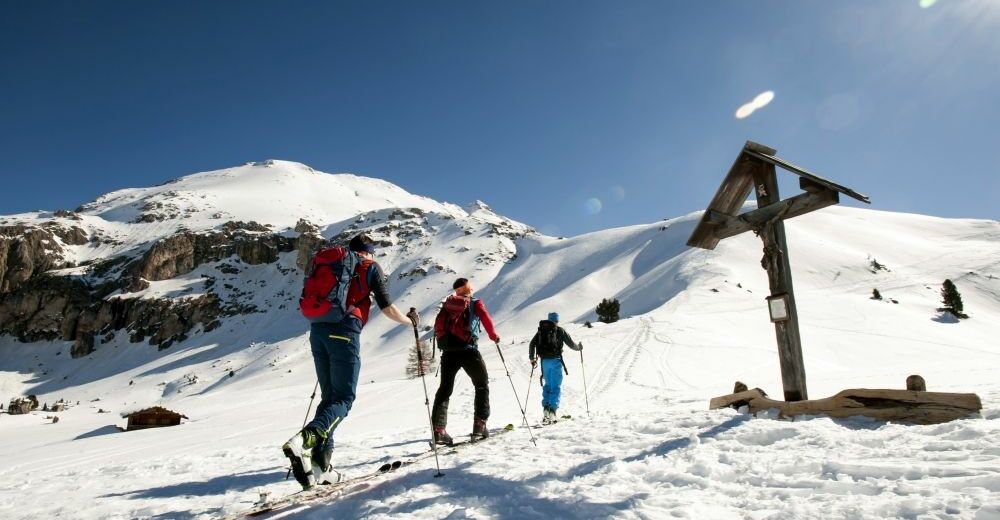
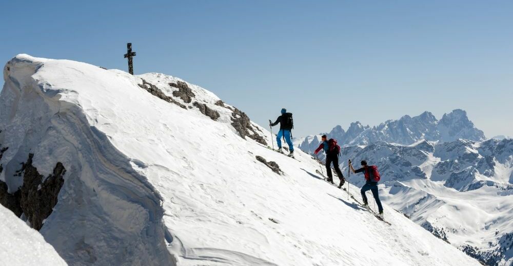
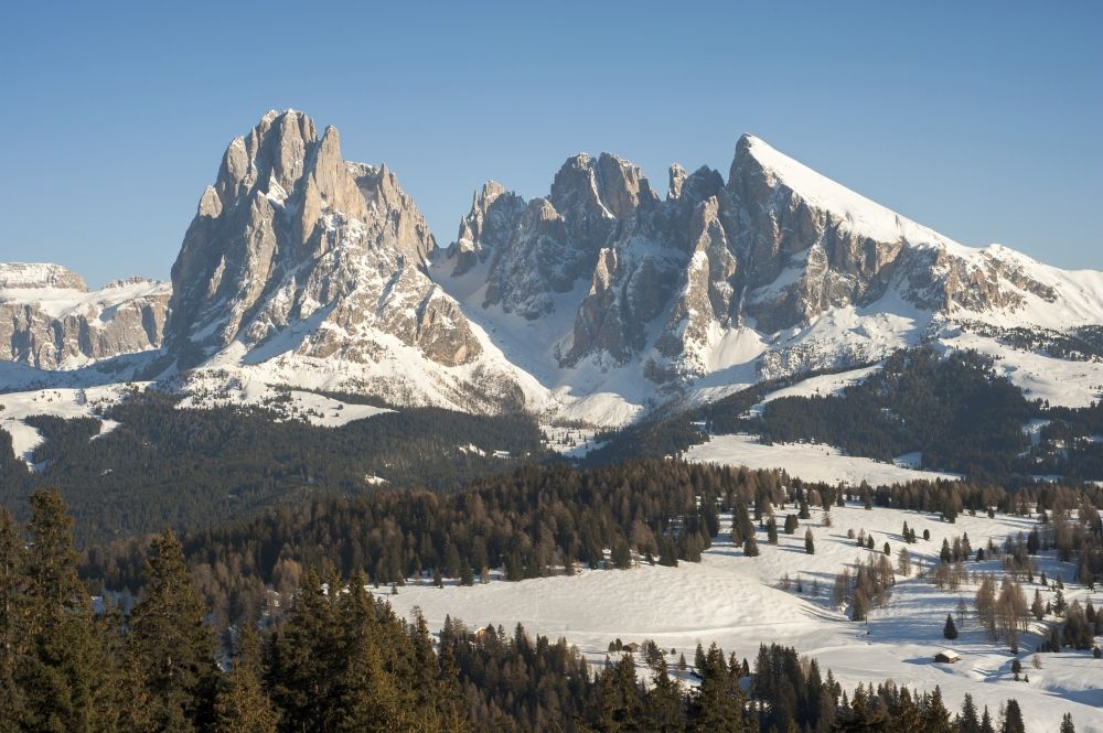
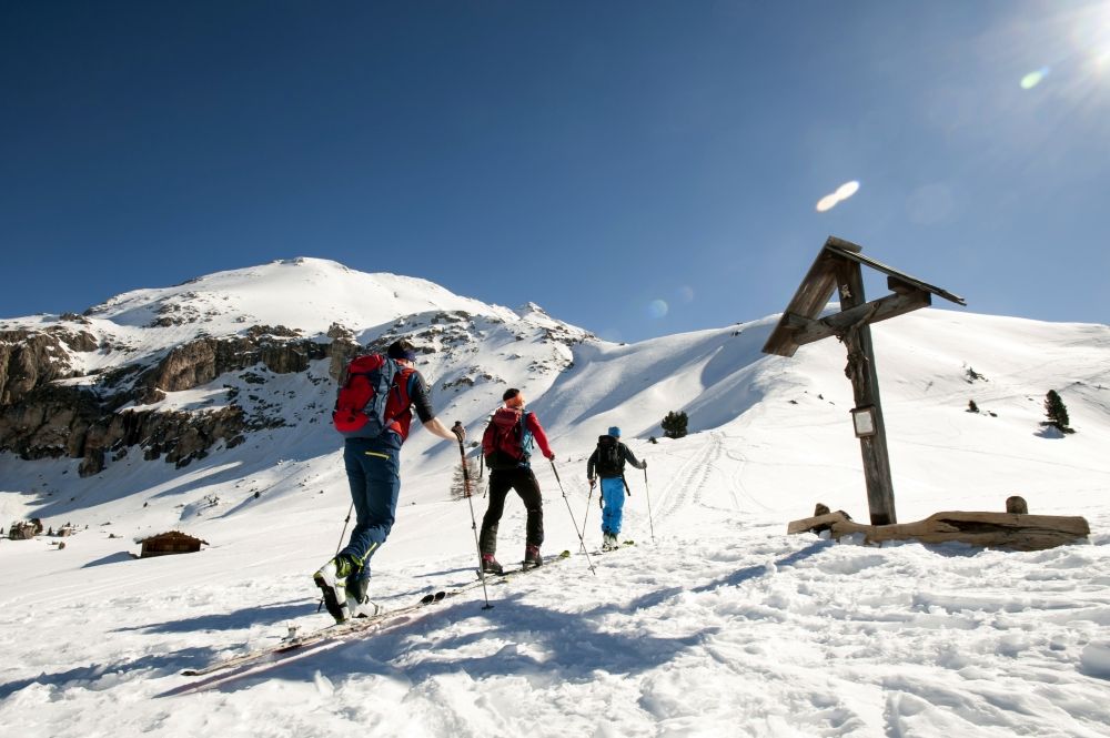
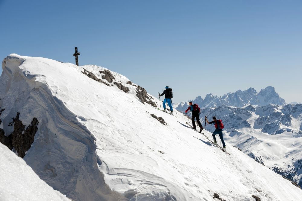
Klassische Skitour auf den Plattkofel (2958 m) mit atemberaubendem Panorama und einem gleichmäßig steilen Gipfelhang
- Difficulty
-
difficult
- Rating
-
- Route
-
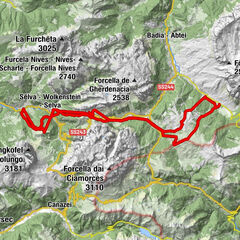
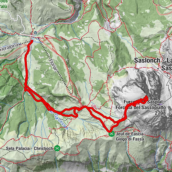
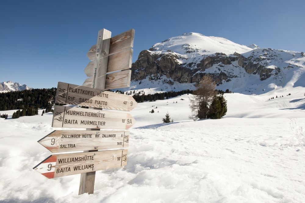
SaltriaTirler Alm Restaurant1.1 kmSpielplatz Tirler1.1 kmZallinger Kapelle4.2 kmBerggasthaus Zallinger - Rifugio Zallinger4.3 kmPlattkofel (2,958 m)8.2 kmBerggasthaus Zallinger - Rifugio Zallinger11.2 kmZallinger Kapelle11.3 kmSpielplatz Tirler13.6 kmTirler Alm Restaurant13.6 km
- Best season
-
AugSepOctNovDecJanFebMarAprMayJunJul
- Highest point
- 2,918 m
- Endpoint
-
Saltria auf der Seiser Alm
- Exposition
- Height profile
-
 © outdooractive.com
-

-
AuthorThe tour Skitour Plattkofel is used by outdooractive.com provided.
GPS Downloads


General info
A lot of view
Other tours in the regions