- Brief description
-
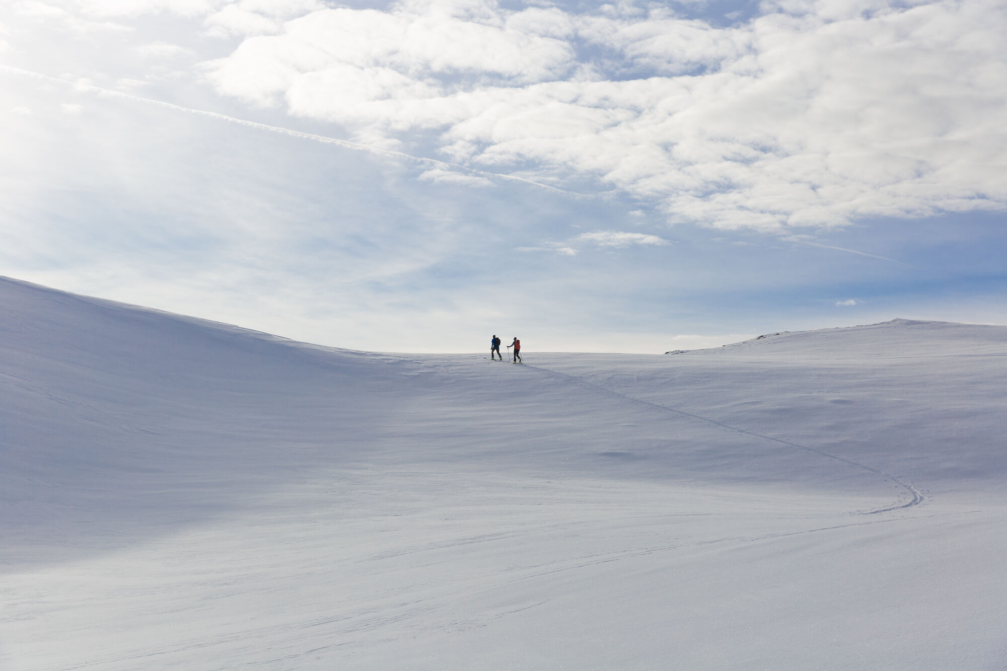
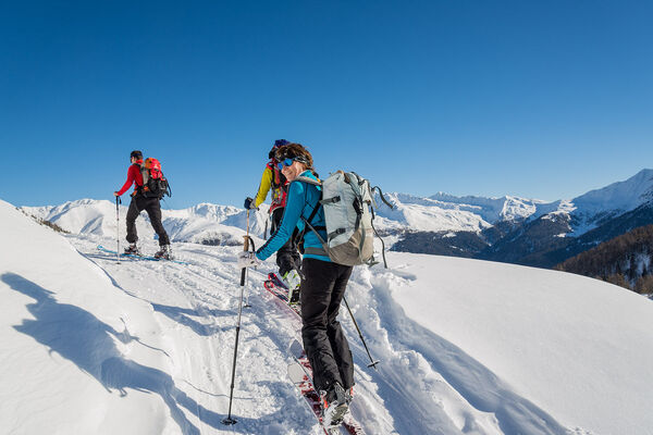
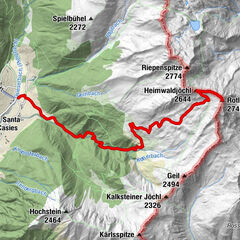
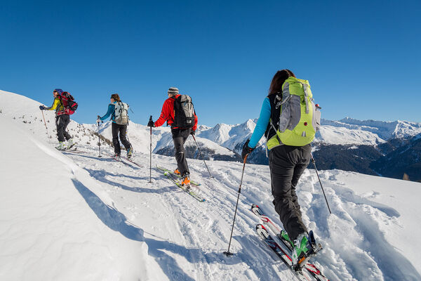
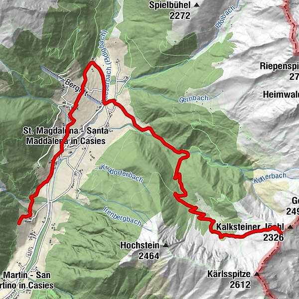
The Kalksteinjöchl, at the passage into the Villgraten Valley (A) – an interesting challenge for snowshoe hikers and ski tour enthusiasts in a snow-covered alpine landscape
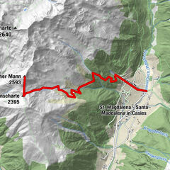
Starting point: Head of the valley in St. Magdalena in the Gsieser Valley 1465 m
Descent: back via the ascent route
Hiking time: ca. 2 ½ hours
Level of difficulty: easy
Altitude difference: 884 m
Slope exposure: North Slope - Difficulty
-
easy
- Rating
-
- Route
-
St. Magdalena1.8 kmHuiben2.8 kmTalschlusshütte4.2 kmBinter Höfe4.5 kmTschernied Alm (1,976 m)8.9 kmKalksteiner Jöchl (2,326 m)10.6 km
- Best season
-
AugSepOctNovDecJanFebMarAprMayJunJul
- Description
-
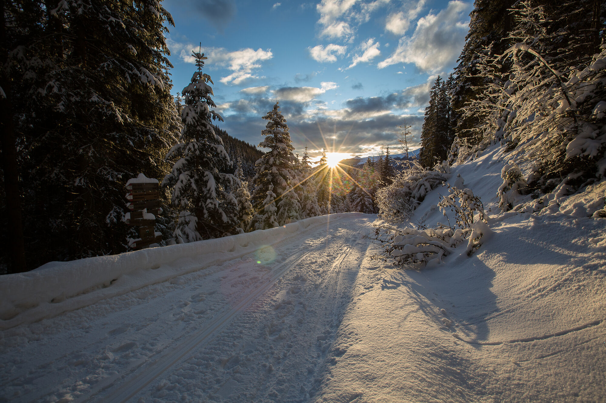
From the head of the valley in St. Magdalena in the Gsieser Valley 1465 m, follow the signposts number 47/48 over the bridge, then immediately turn left and after the Schlosser Hof turn right. The path now leads through an old cattle drive towards the Tscharniettal. On the right side you are accompanied by the natural toboggan run, on the left by a magnificent winter wonderland. At an altitude of roughly 1627 m you get to a fork with clearly displayed signposts. Turn right over the wooden bridge and continue on forest road number 48. Just ahead of the second crossing of the stream, at an altitude of ca. 1851 m, (there is a small power station on your right), leave the alpine path and trudge uphill on the orographic right side of the stream through clear and pleasant larch woods. This route is truly an Eldorado for ski tourers and snowshoe hikers. Pass the new alpine huts at 1976 m and keep left along the wide, open ascending ridge. At about 2000 m, already above the treeline, still keeping left, catch sight of the notch of the Kalksteinjöchl at 2349 m in the east, literally guarded by the Geil and Körl Spitze.
- Highest point
- 2,335 m
- Exposition