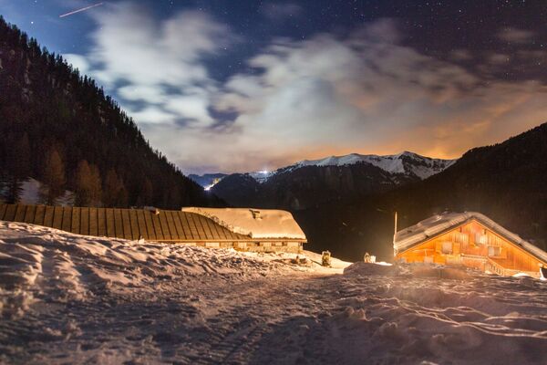

- Brief description
-
Panoramic tour high above the Tiers Valley
- Difficulty
-
difficult
- Rating
-
- Route
-
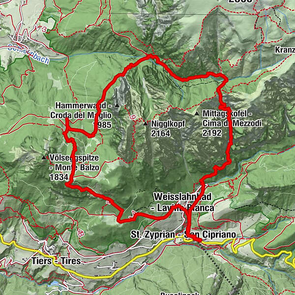
St. Zyprian0.3 kmWeisslahnbad0.6 kmTschetter Loch1.8 kmBärenfalle3.4 kmBärenfalle (2,019 m)4.1 kmSesselschwaige4.8 kmSchutzhaus Tschafon11.0 kmWeisslahnbad14.0 kmSt. Zyprian14.7 km
- Best season
-
AugSepOctNovDecJanFebMarAprMayJunJul
- Directions
-
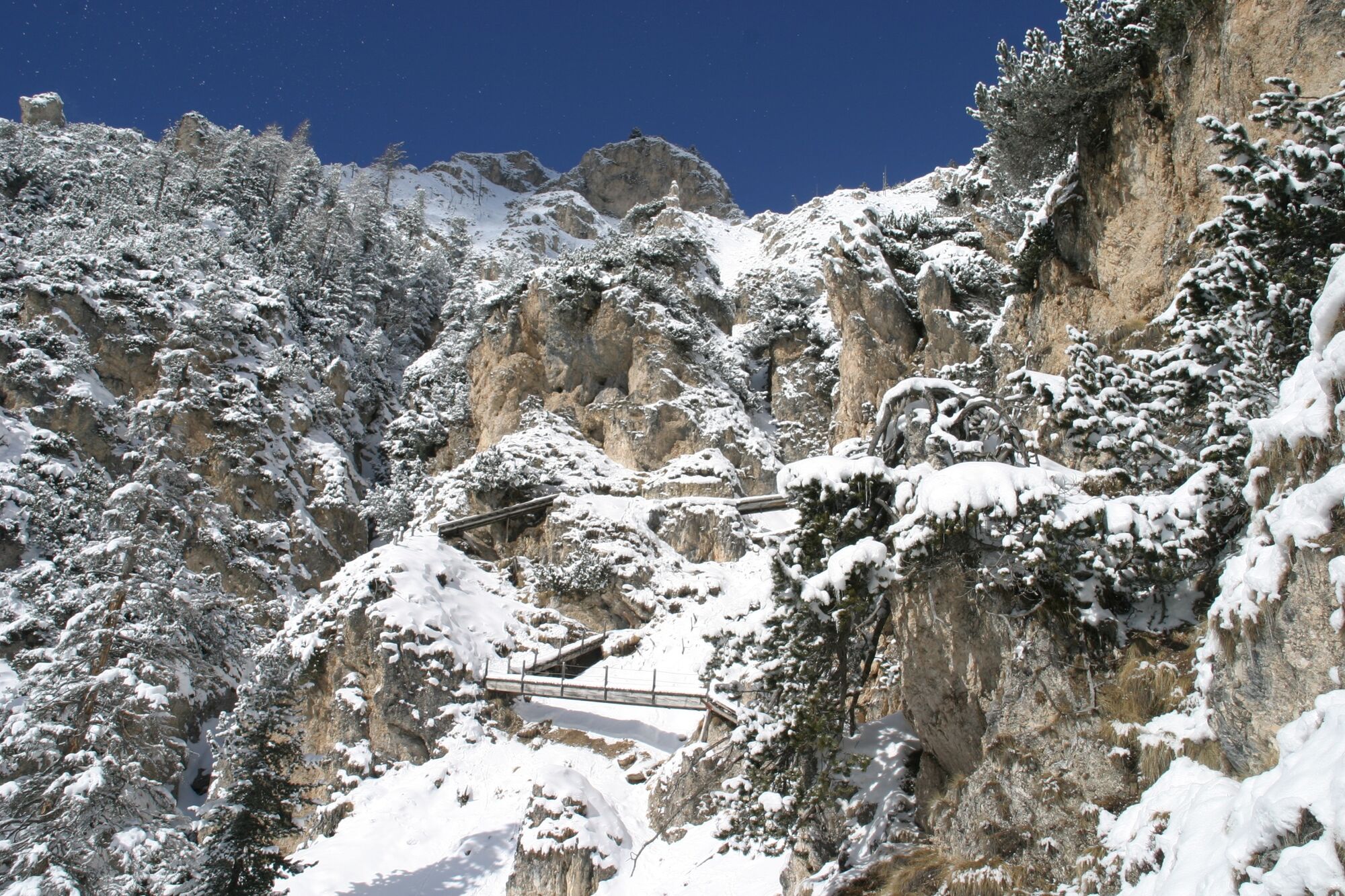
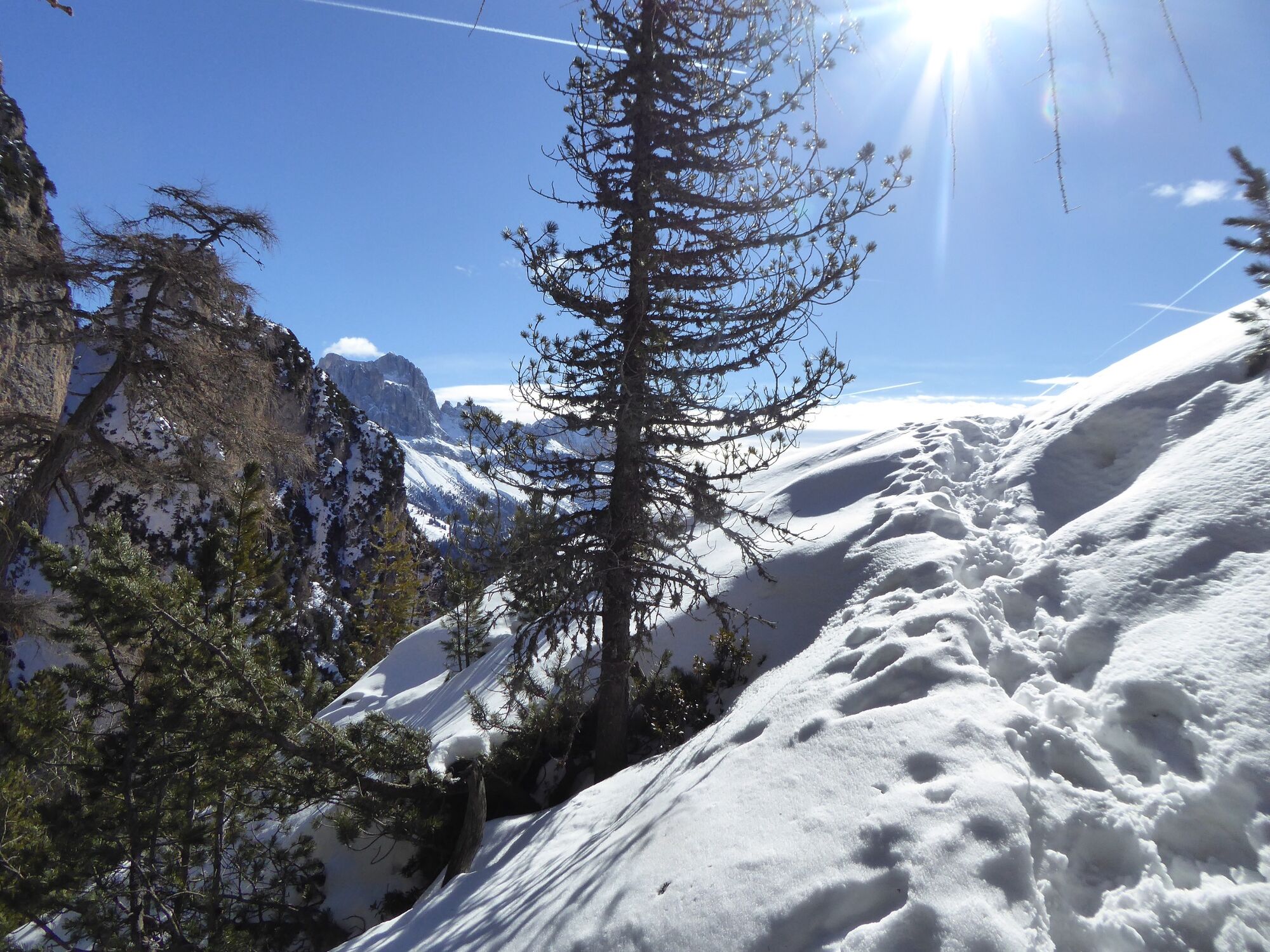
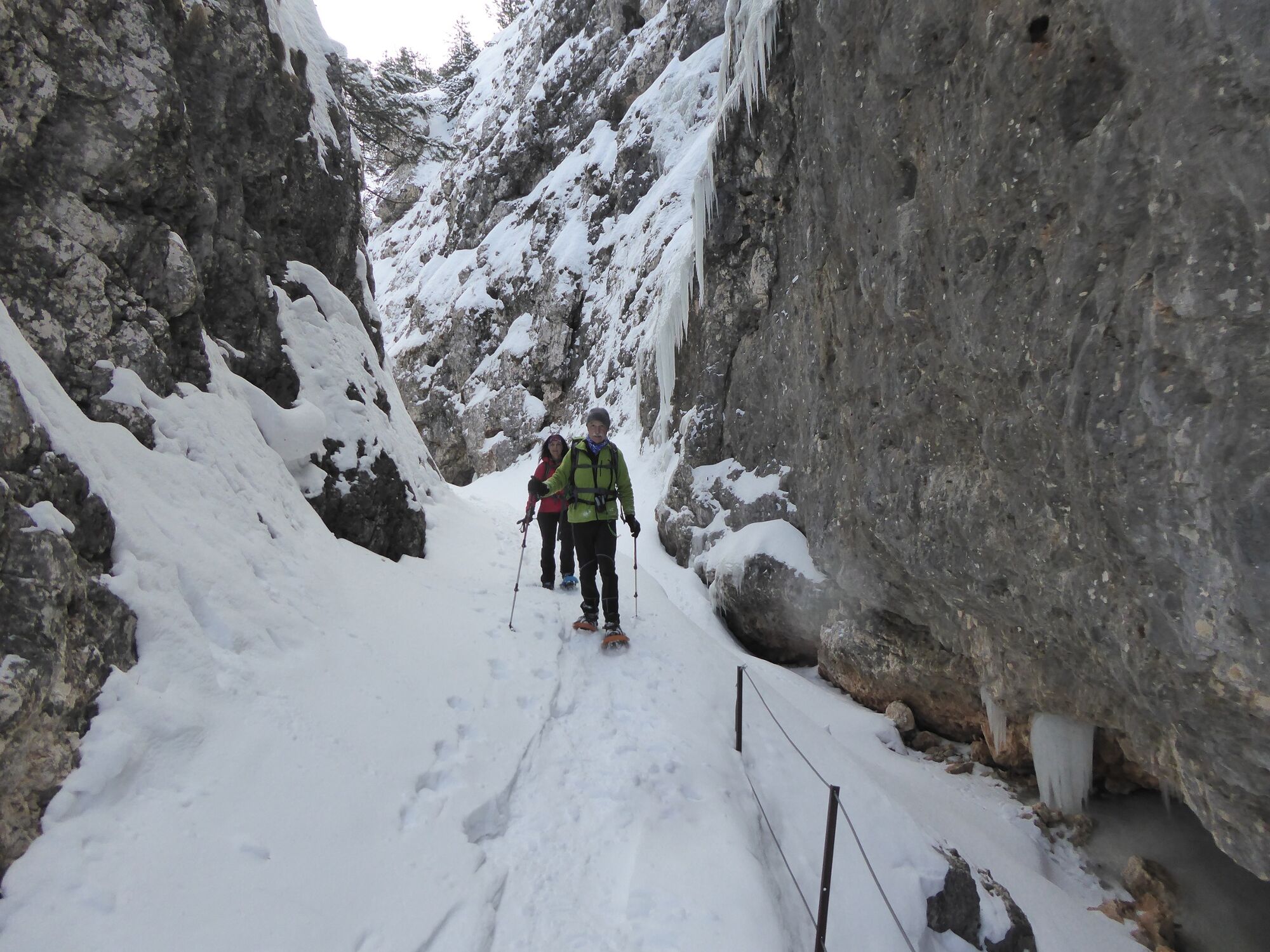
We start from the hotel to the “Malga Ciamin”. There we across the steep trail, witch is leading us through a pine tree forest to the “Tschetterloch”. We´ll come to a legendary rock cave, which is about 20 metres deep. From there, we keep ascending for two hours, walking between rocky walls, which lead us after two hours to the “Tschafatsch Saddle” (2,069 metres). The high plateau of the mountain “Schlern” actually begins here. From here, we make our way through a pine forest down to the “Sesselschwaige”.
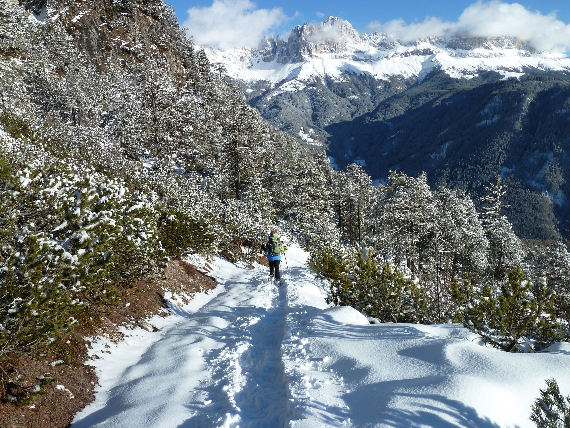
The path leads us through a small ravine along the “Knüppel” way (at some places, the snow will be piled up in the middle of the road but we will be able to pass). Then we´ll come to the “Schlern” walls. On the left, the path leads us comfortably through spruce and pine tree forests to the bottom of the “Hammerwand” and than to the “Tschafon”. This tour is followed by a descent to the “Wuhn Leger”. From there we make our way back to the starting point
- Highest point
- 2,003 m
- Endpoint
-
Cyprianerhof Dolomit Resort
- Height profile
-
 © outdooractive.com
-

-
AuthorThe tour Snow hiking shoe to the “Bärenfalle” – “Knüppel” way is used by outdooractive.com provided.