- Difficulty
-
easy
- Rating
-
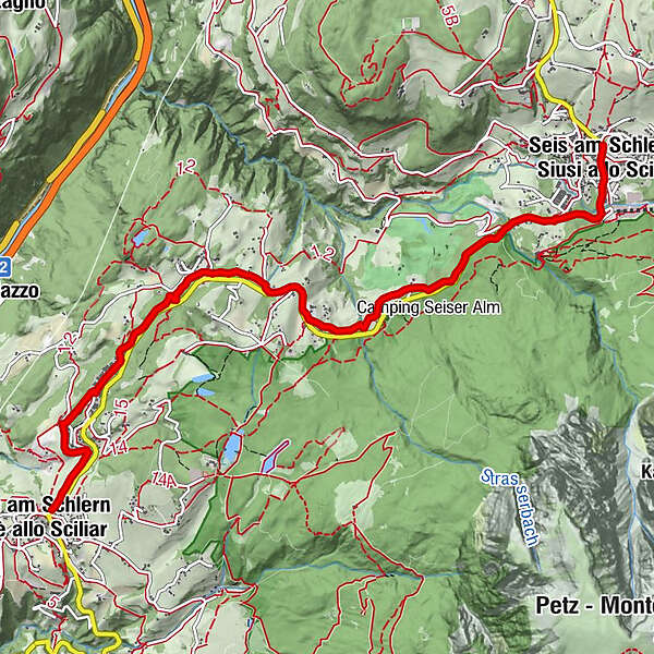
- Route
-
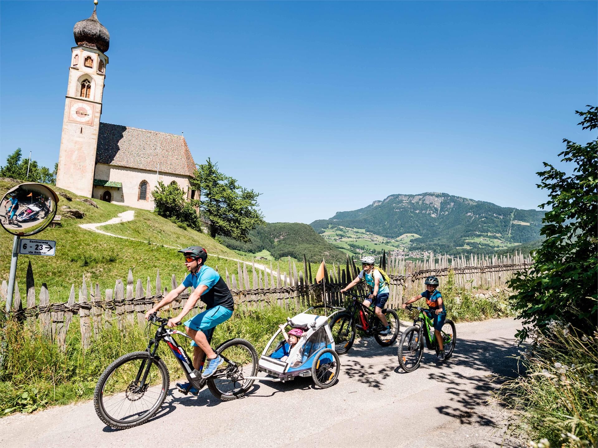
Völs am SchlernSt. Anton (875 m)0.5 kmSt. Konstantin (900 m)2.8 kmSeis am Schlern7.1 km
- Best season
-
JanFebMarAprMayJunJulAugSepOctNovDec
- Description
-
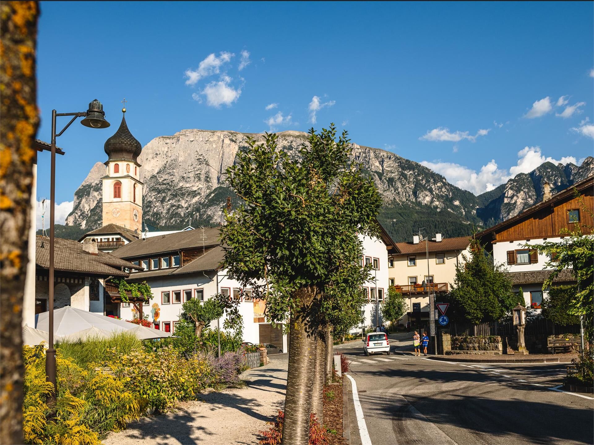
This route links Völs am Schlern with Seis am Schlern and leads through variety-packed meadow and forest land at the foot of the Schlern, along well-surfaced bike paths through the Völs hamlets of St. Anton and St. Konstantin, past the idyllic St. Konstantin chapel and the St. Vigil golf course to Seis am Schlern.
- Directions
-
The route from Völs am Schlern to Seis am Schlern is around 7 km long, and is great for bikers as the route is, for the main part, traffic-free. Right at the beginning, you can avoid the main road by taking the small trail which runs alongside it. A short stretch through the small industrial area of St. Anton leads on to the peaceful woodland of St. Konstantin. While the Hofer Alpl loop route, which is initially parallel to our route, turns off to the right just after this stretch, the Völs-Seis link route leads onwards, following the signposts, towards Seis. Shortly after you pass the camp site and golf course on your left, you will come to the last stretch along the main road back to the starting point of the next tour in Seis am Schlern.
Here you find the PDF for download
- Highest point
- 1,009 m
- Height profile
-
 © outdooractive.com
 - Equipment
-
Bike helmet
Good shoes
Sun glasses
Bike wear
MTB Gloves
Drink and snacks
Protective pads - Safety instructions
-
RULES OF CONDUCT:
· On the mountain you greet each other, this is tradition and this applies to bikers and hikers
· Give way to pedestrians
· Respect signage and stay on the trail/path
· Close pasture gates and don’t scare/stroke animals
· Always ride in a way that allowes you to stop in case of emergency (ride with foresight)
· Use your brakes smoothly in order not to ruin trails, paths and gravel roads

- Author
-
The tour 292 Völs am Schlern - Seis am Schlern link trail is used by outdooractive.com provided.