Fimberpass – Val d'Uina – Reschenpass: Schleis / Mals – Martina (443.03)


- Brief description
-
The third stage of Route 443 leads high above Lake Reschen to Martina.
- Difficulty
-
difficult
- Rating
-
- Starting point
-
Mals/Malles train station
- Route
-
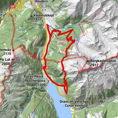
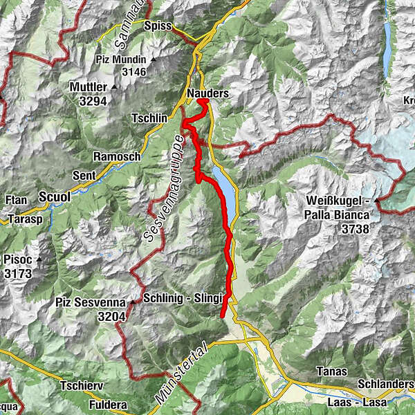
Schleis (1,064 m)0.0 kmBurgeis2.1 kmZeress7.2 kmPadöll7.9 kmBergbahn Haideralm8.8 kmSt. Valentin auf der Haide8.9 kmKirche St. Valentin8.9 kmAußerkaschon9.7 kmInnerkaschon10.2 kmSpin12.3 kmRescher Alm20.4 kmNauders (1,394 m)30.9 km
- Best season
-
JanFebMarAprMayJunJulAugSepOctNovDec
- Description
-
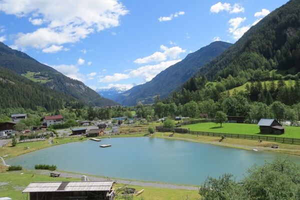
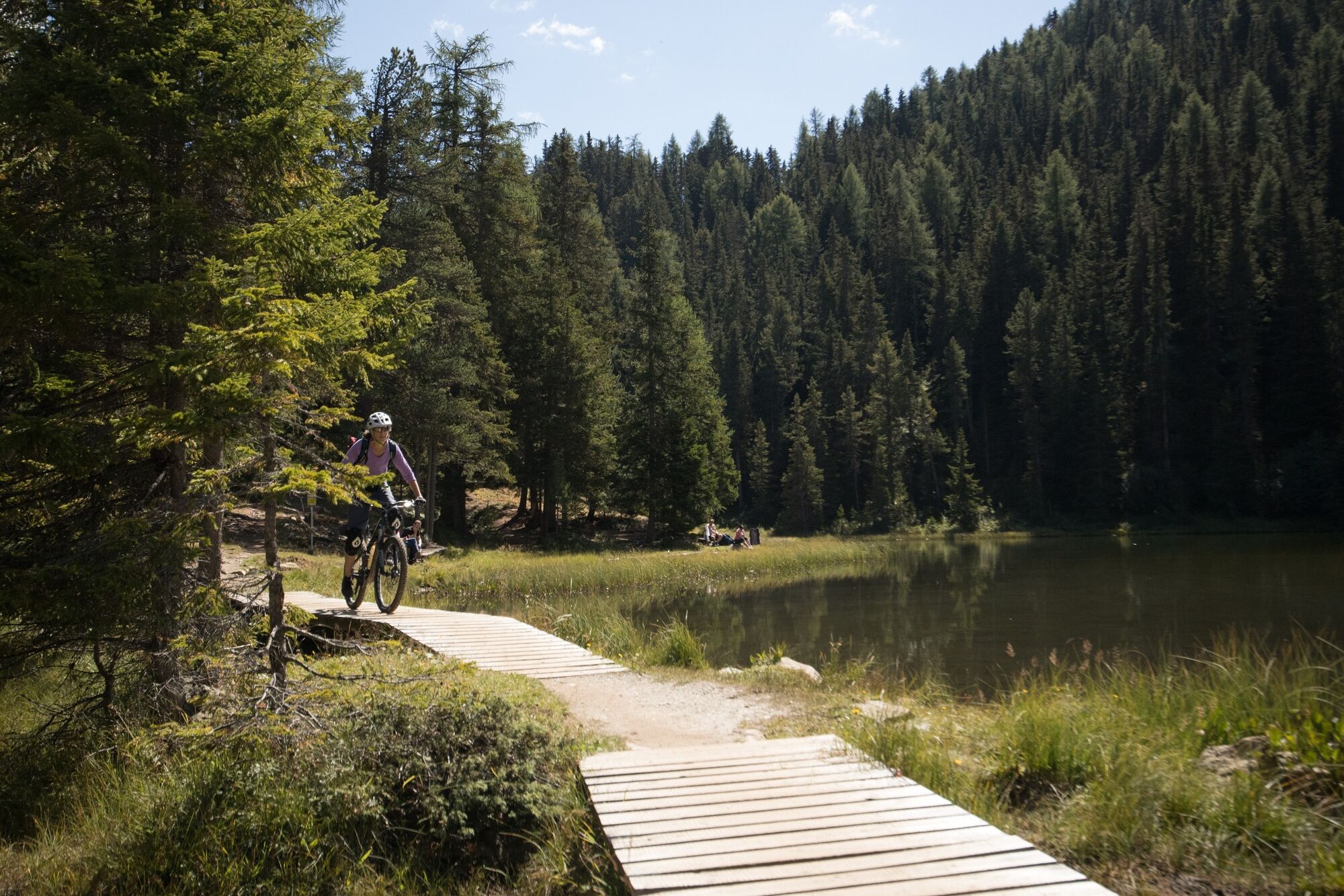
Up the Upper Vinschgau, through the communities of Burgeis and St. Valentin, you reach the Italian-Austrian border high above Lake Reschen. On attractive single trails and past mountain lakes you reach Nauders and Martina.
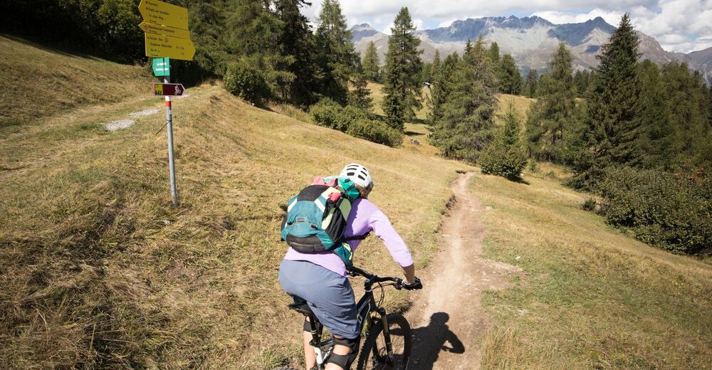
Sliding passages
At Nauders, above the Grünsee lake, the trail contains steps. The bike has to be carried here.
- Directions
-
Start at Mals railway station
In a northerly direction to Brugeis (on the left side of the valley)
Past Burgeis to St. Valentin
After St. Valentin, climb up the left bank of the Reschensee in the direction of the Schönebenhütte hut
At the next junction turn right towards the Rojen car park
Continue straight on to the next junction, on the left
Follow the path via Rescher Alm to Nauders
Do not branch off into the village, but follow the mountain flank around Norbertshöhe
Through the forest along the mountain flank to Martina - Highest point
- 2,024 m
- Endpoint
-
PostAuto-Haltestelle Martina, cunfin
- Height profile
-
 © outdooractive.com
 - Equipment
-
Helmet, gloves, good shoes, glasses, rain and sun protection, water bottle, repair kit, first aid kit
- Safety instructions
-
On high sections, snowfields are possible until the summer months. The tour was assessed in favourable weather conditions, current weather conditions and weather forecasts must be imperatively observed before starting the tour. This tour requires a high level of riding safety, balance and technical riding skills.
Emergency call:
144 Emergency call, first aid
1414 Mountain rescue REGA
112 International emergency call
Consideration for hikers
The Graubünden mountain bike routes run for the most part on single trails that are also signposted as hiking trails. Hikers always have the right of way.
- Tips
-
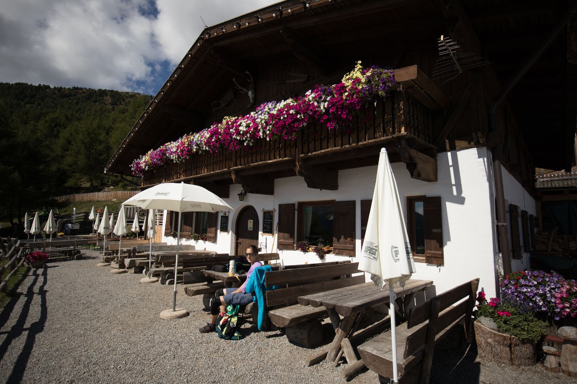
Discover the last village of the Engadine, Martina. On the last kilometres before the national border, nature is particularly fertile, green, species-rich and intact.
- Additional information
- Directions
-
- From the north: via Landquart - Klosters by car transport through the Vereina Tunnel (Selfranga - Sagliains) or via the Flüela Pass into the Lower Engadine on H27 and via the Ofen Pass on H28 (SS41) to Mals.
- From the east: via Landeck / Austria as far as Mals via the Reschenpass on SS40
- Public transportation
-
- With the Rhaetian Railway (from Chur, Prättigau or Upper Engadine) hourly to Zernez station or Scuol-Tarasp station.
- From Scuol-Tarasp railway station by PostBus hourly to Martina and on to the Mals/Malles bus stop (1 change).
- From Zernez and the Val Müstair hourly without changing to Mals/Malles
- Parking
-
- Free parking at the station in Mals/Malles


- Author
-
The tour Fimberpass – Val d'Uina – Reschenpass: Schleis / Mals – Martina (443.03) is used by outdooractive.com provided.


-
Vinschgau
188
-
Reschenpass
156
-
Reschen
20