© Dolomitenregion Seiser Alm - Horst von Bohlen
- Difficulty
-
medium
- Rating
-
- Route
-
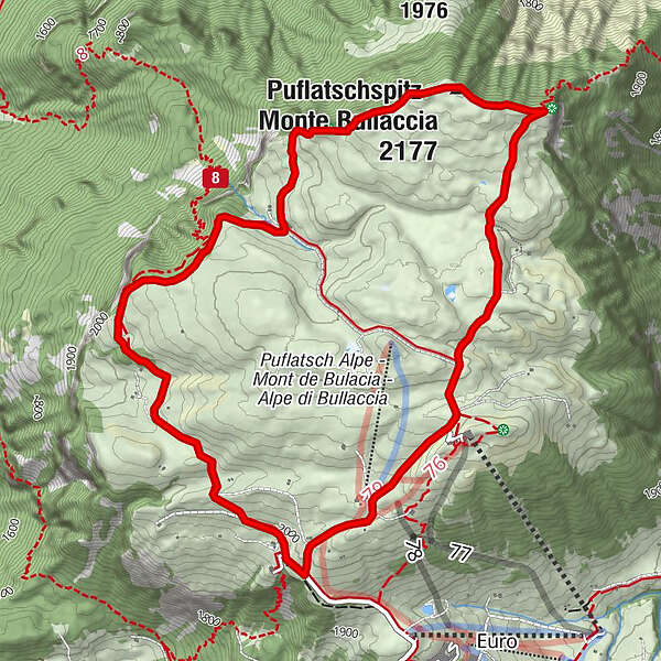
Puflatschspitz (2,177 m)1.7 kmPanche delle Streghe1.9 kmGollerspitz (2,099 m)2.4 kmArnika Hütte2.9 km
- Best season
-
JanFebMarAprMayJunJulAugSepOctNovDec
- Description
-
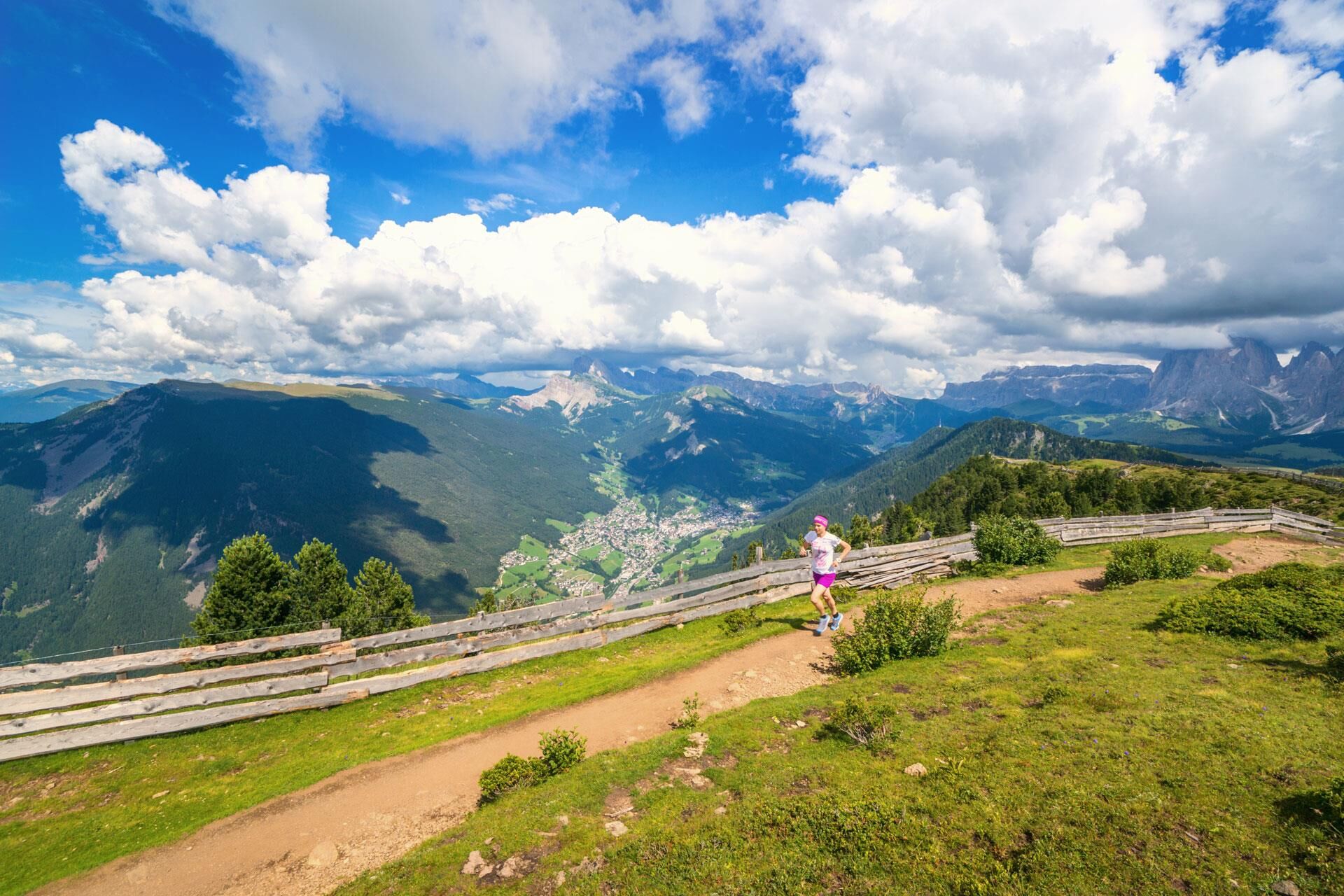
This loop-track leads over the Puflatsch and boasts incredible views down to the villages at the foot of the Schlern and the Eisack Valley.
- Directions
-
The start and destination of the route is the mountain station of the Puflatsch Telemix cable car, over a long route running partly over gravel, partly over mountain tracks through the breathtaking Alpine countryside. A few stages of the route include the Fillner Kreuz Cross, the Refuge Arnikahütte hut and the Puflatschhütte hut.
- Highest point
- 2,170 m
- Height profile
-
 © outdooractive.com
 - Directions
-
The road to the landscape conservation area Seiser Alm is closed to private traffic from 9.00am to 5.00pm. During this time you can get to the Seiser Alm by the Seiser Alm cable car or by bus. You can descend from Compatsch at any time.
- Author
-
The tour Puflatsch-Tour is used by outdooractive.com provided.
GPS Downloads


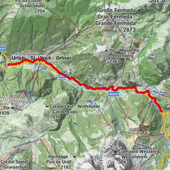
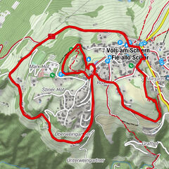
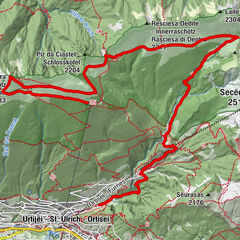
Other tours in the regions
-
Brixen und Umgebung
59
-
Seiser Alm
52
-
Seiser Alm
50