- Difficulty
-
medium
- Rating
-
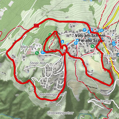
- Route
-
Schutzhütte Raschötz1.2 kmHeilig-Kreuz-Kapelle1.9 kmAusserraschötz (2,283 m)2.4 kmFlitzer Scharte (2,107 m)5.6 kmBroglessattel (2,119 m)8.6 kmFurnes (1,730 m)12.2 kmCostamula13.5 kmCafè Val D'anna14.6 km
- Best season
-
JanFebMarAprMayJunJulAugSepOctNovDec
- Description
-
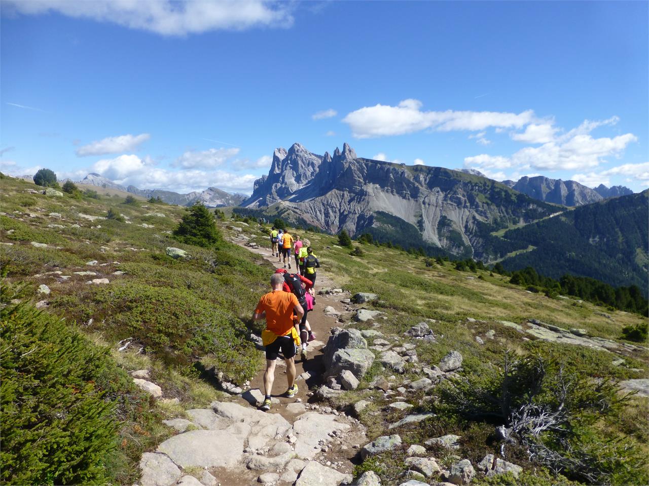
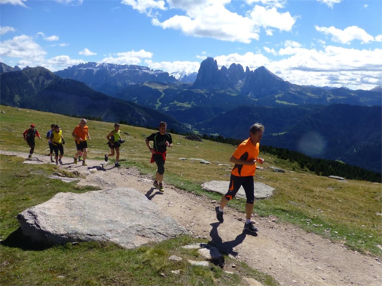
From the mountain station of the funicular railway at 2,103 m altitude we run first westward to the Resciesa summit cross. There we take a little time to enjoy the breathtaking panorama and to cast a look into the neighbouring Val di Funes. After that we take paths no. 10, 31 and 35 toward the Brogles Saddle, whereas we stay approximately at the same elevation, making this run a real pleasure. Arriving at the Brogles Saddle we can either run back the same way to the funicular, or we turn right onto path n. 5, which leads into the path no. 9 through Val d’Anna and finally brings us back to Ortisei. Just before we reach the village we come to a Kneipp facility in Val d’Anna, where we can cool our legs.
- Highest point
- 2,274 m
- Height profile
-
 © outdooractive.com
 - Directions
-
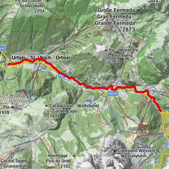
Val Gardena is located in South Tyrol, right in the heart of the Dolomites. The valley can be reached using the Brenner Motorway (A 22), exit Chiusa. Following the well-marked roads, you should reach Ortisei in about 20 minutes, then S. Cristina and Selva Val Gardena.
- Author
-
The tour Resciesa is used by outdooractive.com provided.