© Dolomites Val Gardena Konsortialgesellschaft m.b.H. - Gherdëina Runners
Tour data
12.21km
1,163
- 1,593m
328hm
28hm
03:38h
- Difficulty
-
medium
- Rating
-
- Route
-
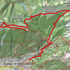
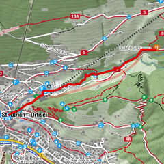
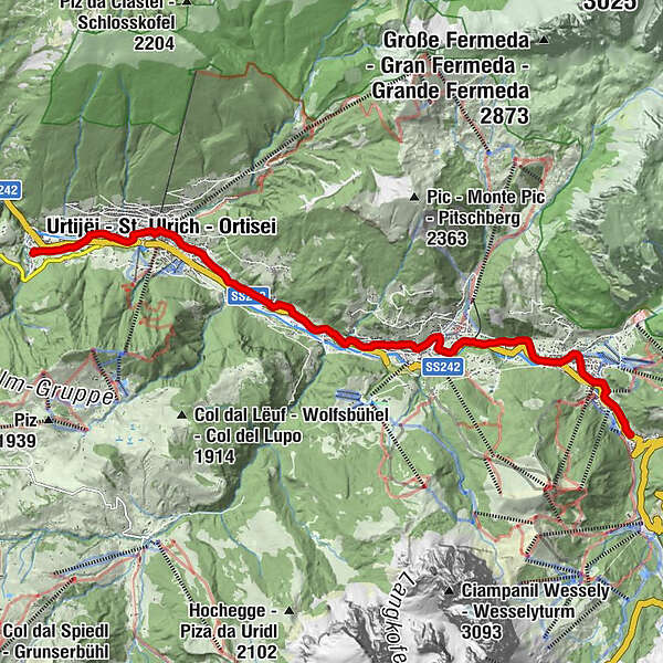
Passberg (1,177 m)RunggaditschHl. Josef0.1 kmSt. Ulrich (1,236 m)2.3 kmPfarrkirche von St. Ulrich – Zur Erscheinung des Herrn2.4 kmSoplajes5.6 kmPfarrkirche zum hl. Antonius Abt und zur hl. Christina6.5 kmSankt Christina in Gröden6.5 kmda Peppi6.7 kmPlan da Tieja7.7 kmRuncac7.7 kmRuacia (1,497 m)7.9 kmDorives8.2 kmLa Poza9.0 kmCol da Lech10.1 kmNives10.1 kmGhetun10.2 kmWolkenstein in Gröden10.6 kmMaria Hilf10.8 kmFrëina11.4 kmPlan (1,605 m)12.1 km
- Best season
-
JanFebMarAprMayJunJulAugSepOctNovDec
- Description
-
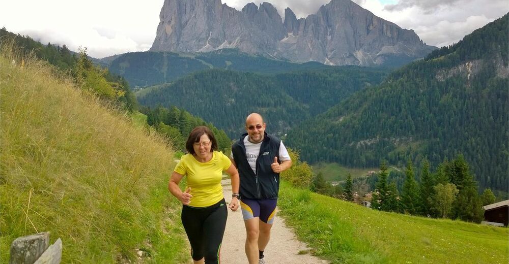
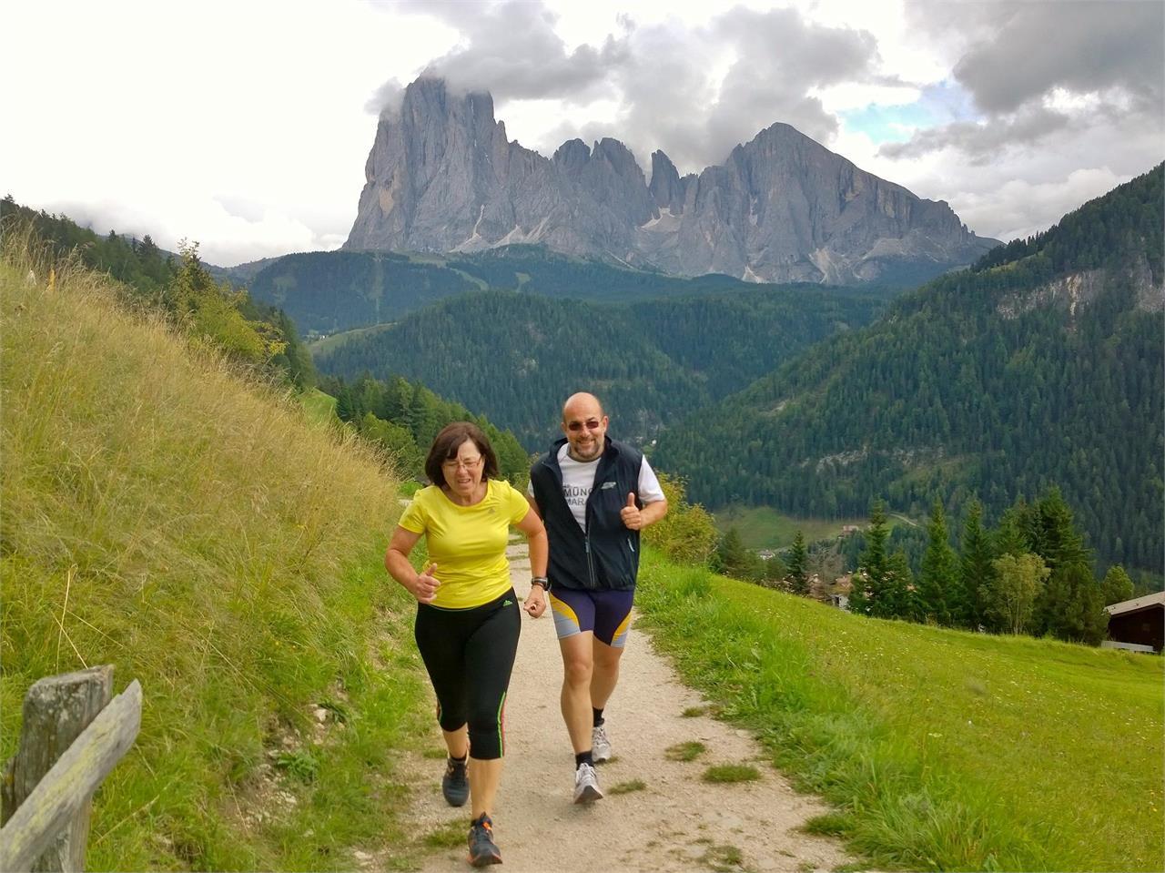
The Val Gardena Railway, which was built during the time of the former Austrian Monarchy to transport war materials from Chiusa to Plan, ceased operation in 1960. What remains is a lovely panorama road which connects the three Val Gardena towns and enjoys immense popularity with both walkers and runners alike. The route is suitable for both a short, gentle morning jog as well as for a long, extended run.
- Highest point
- 1,593 m
- Height profile
-
 © outdooractive.com
 - Directions
-
Val Gardena is located in South Tyrol, right in the heart of the Dolomites. The valley can be reached using the Brenner Motorway (A 22), exit Chiusa. Following the well-marked roads, you should reach Ortisei in about 20 minutes, then S. Cristina and Selva Val Gardena.
- Author
-
The tour Val Gardena Railway is used by outdooractive.com provided.
GPS Downloads


Other tours in the regions