- Brief description
-
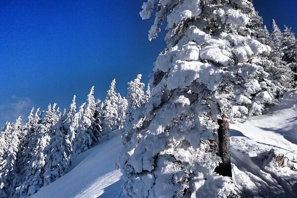
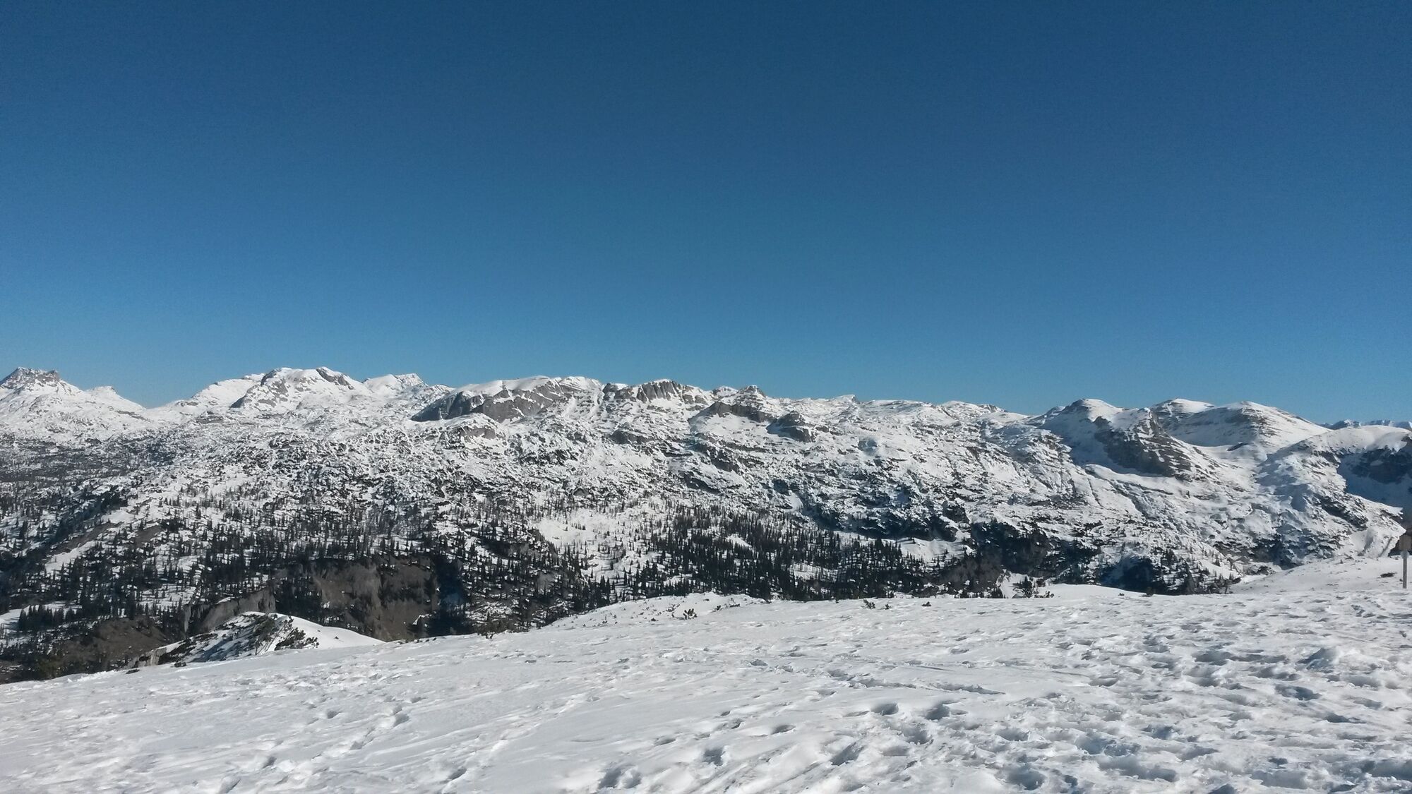
Hike on the prepared pedestrian slope to the summit of the Lawinenstein.Fantastic 360 degree panoramic view from the Grimming over the Dachstein and the arch of the Tote Gebirge to the Sturzhahn.
- Difficulty
-
easy
- Rating
-
- Starting point
-
Toll station Tauplitzalm alpine road or valley station Mitterstein gondola lift
- Route
-
Lawinenstein0.4 kmLawinenstein (1,965 m)0.7 kmS'Kriemandl (1,880 m)2.0 km
- Best season
-
AugSepOctNovDecJanFebMarAprMayJunJul
- Description
-
A wonderful and easy summit hike on a prepared path with a magnificent panoramic view.
- Directions
-
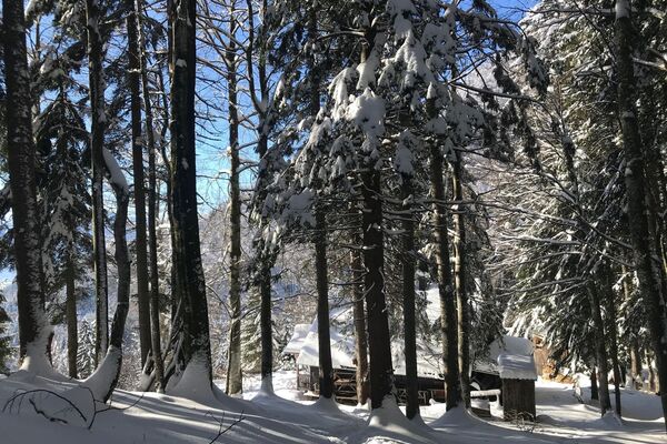
The ascent to the valley station of the gondola lift is either with your own car or with the ski bus of the Tauplitzalm Alpenstraße.
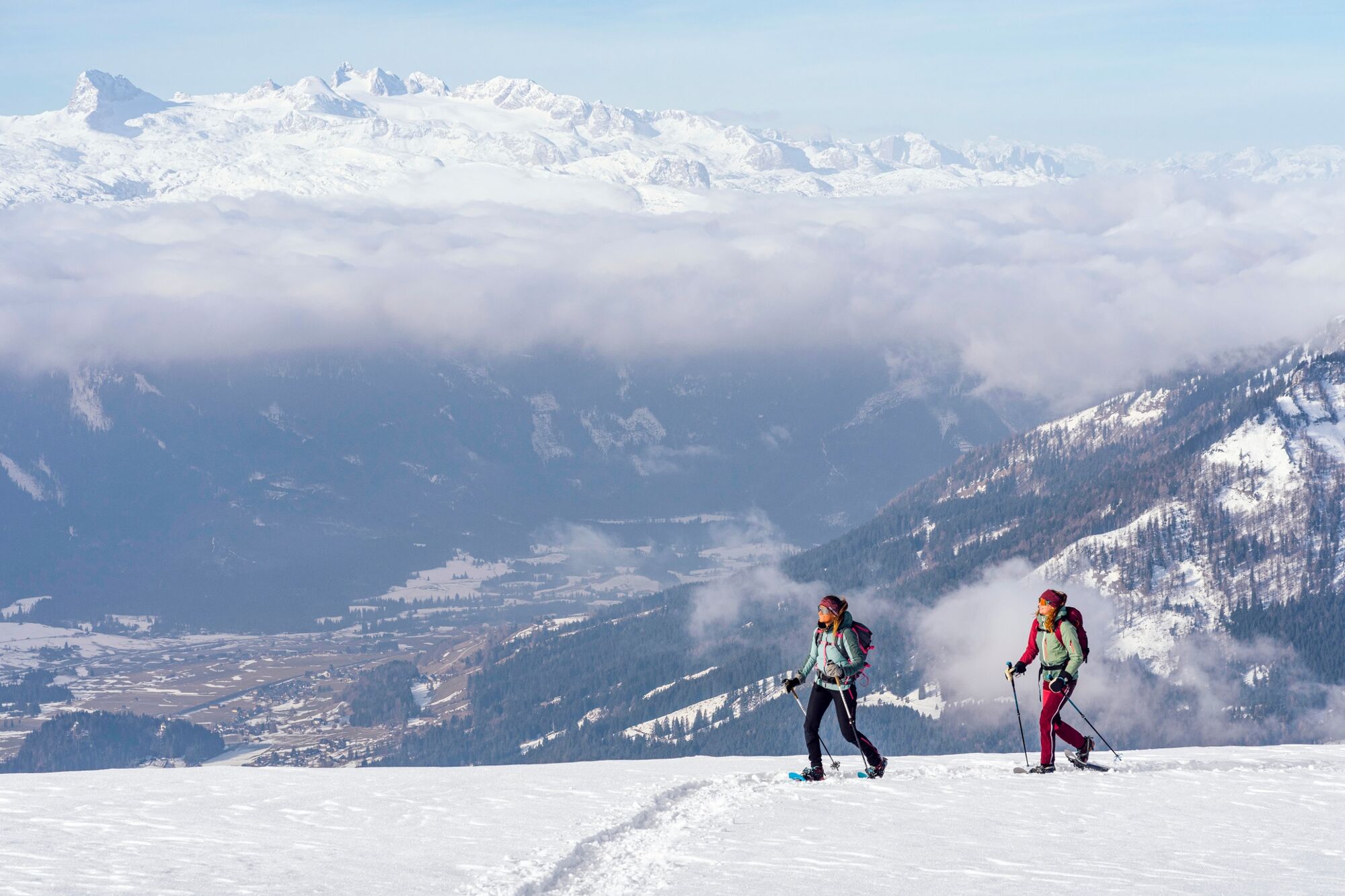
Already the ride with the 8-seater gondola offers the first views into the valley of Bad Mitterndorf, to the Grimming and Dachstein, and over the ski area of the Tauplitzalm.
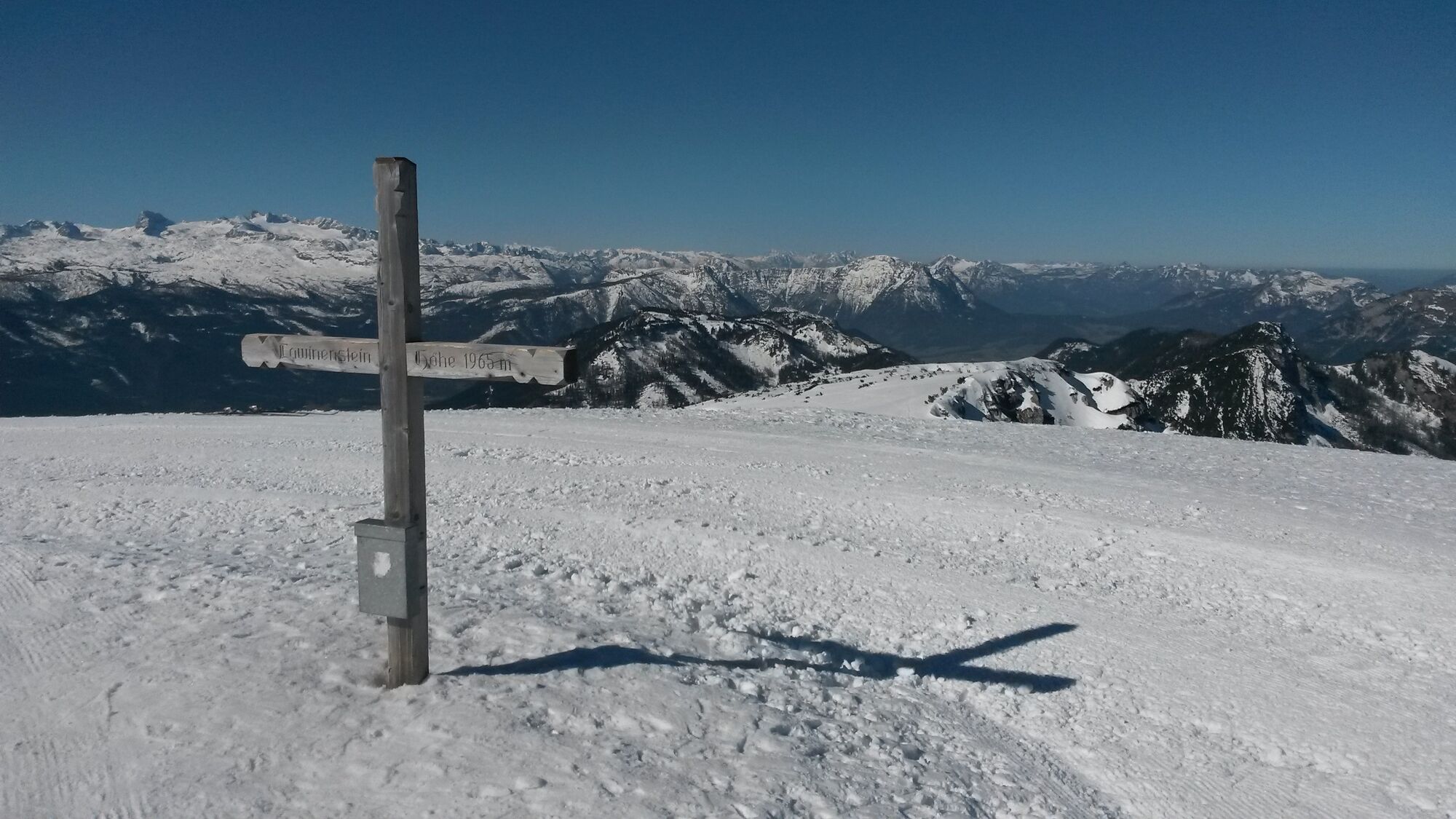
After getting off at the top station, hike straight down into a hollow and follow the blue signs. Past the valley station of the summit lift, the path leads on the right side of the lift to the summit of the Lawinenstein at 1965 meters above sea level.
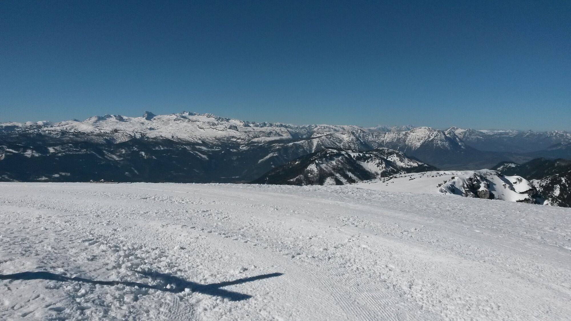
From near the summit cross you can enjoy a magnificent panoramic view of the Grundlsee, the Tote Gebirge, the Grimming and the Ennstal.Afterwards, the same path leads back again.
Past the gondola mountain station and to the left of the T-bar lift, the trail descends into a hollow to the rope connection lift. At the edge of the ski slope the path leads up to the Kriemandlhütte.
- Highest point
- 1,950 m
- Endpoint
-
Toll station Tauplitzalm alpine road or valley station Mitterstein gondola lift
- Height profile
-

- Equipment
-
Absolutely sturdy, high shoes or additionally snowshoes and poles.
Proper backpacking makes many things easier:
Pack heavy things first. The water bottle should always be within easy reach in a side pocket. All things that are often needed such as sunglasses, camera or hiking map belong on top. An emergency kit including blister plaster belongs in every backpack and a clothing according to the "onion system" is always recommended. - Safety instructions
- Additional information
- Directions
- Public transportation
- Parking

- Author
-
The tour "Lawinenstein - Tauplitzalm" is used by outdooractive.com provided.