- Brief description
-
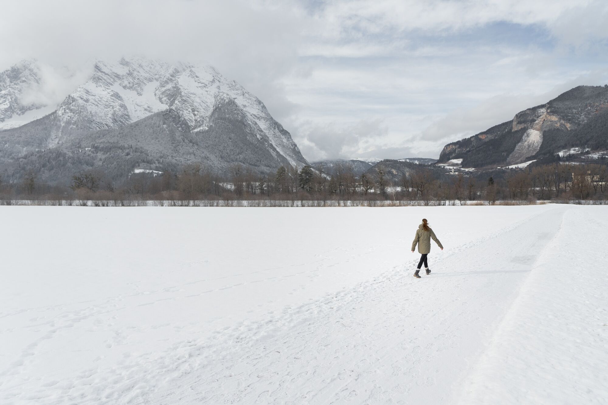
Walking around to recharge your batteries. Whether it's the Capuchin monastery, the Heiligenbrunn chapel or the clear winter air - they all strengthen you internally and externally. And the sun does its part.
- Difficulty
-
easy
- Rating
-
- Starting point
-
Tourist office
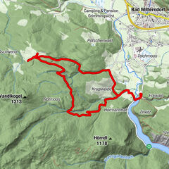
- Route
-
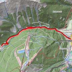
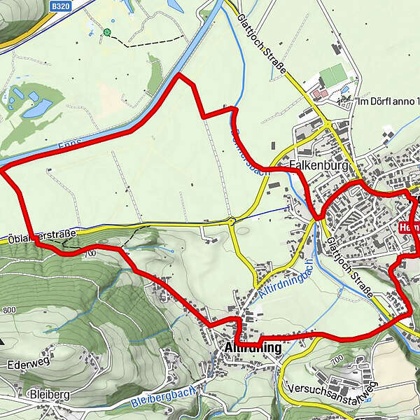
Irdning0.1 kmAltirdning1.9 kmFalkenburg6.6 kmIrdning7.7 km
- Best season
-
AugSepOctNovDecJanFebMarAprMayJunJul
- Description
-
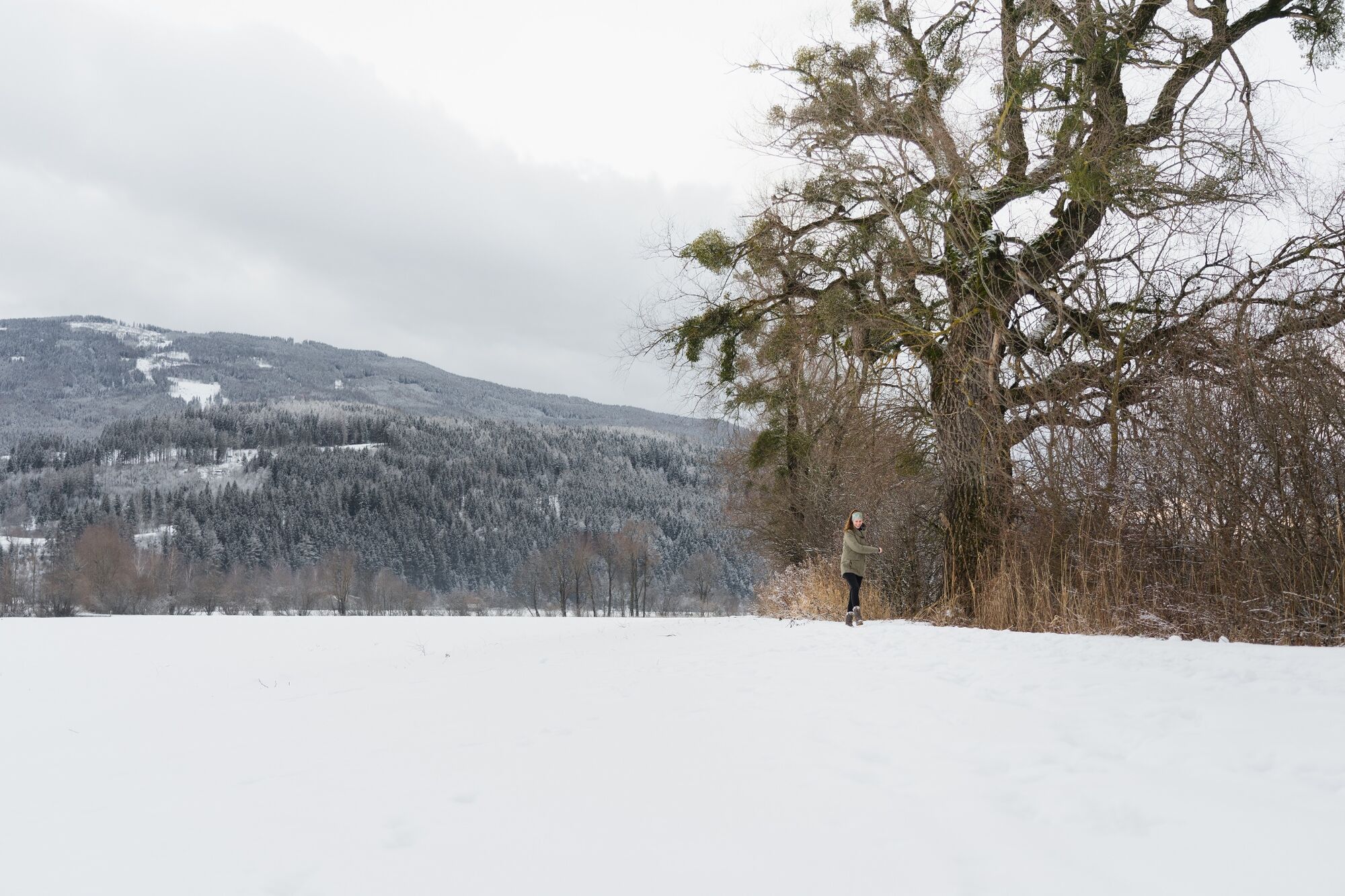
On this hike you will find fullness in simplicity, because it leads you to two special places of power. Shortly after the start, you will reach the Capuchin monastery, which is over 400 years old. After a quiet rest in the church, you walk on to Altirdning. There, hidden in the forest, is Heiligenbrunn - a Celtic cult site with a chapel and fountain, from which healing spring water (especially for the eyes) flows in warmer seasons.
- Directions
-
After the start, go uphill for a short distance, where you turn right at the intersection. Shortly after, the road divides again, here you keep left and walk slightly uphill to the Capuchin monastery. You will come to another intersection, where you keep to the right and then walk past the monastery downhill to the intersection of the main road. Here you cross the road and continue walking in the direction of Altirdning. In the small center of Altirdning you turn left just after the old forge over a small bridge and turn right at the next intersection. From here, keep going straight until you reach the end of the village. From there the path leads into the forest to Heiligenbrunn. After the power place, the path goes down a staircase to the road. Be careful when crossing. Then left, continue a short distance before the path turns right into a dirt road to the Enns. Along the Enns and then back to the town center to the starting point.
- Highest point
- 698 m
- Endpoint
-
Tourist office
- Height profile
-

- Equipment
-
Winter mountain boots or sturdy shoes with a good profile
Clothing according to the weather forecast
Backpack with small food - Safety instructions
-
Plan your trip in advance, taking into account walking time, distance, elevation gain, hazards, and weather reports.
Let others know where you are going and when you want to be back.
Turn back in time if the weather deteriorates.
Stay on the marked trails.
If you are a dog owner: keep your dog on a leash and make sure it is quiet.
The tourist office does not assume any liability based on the information provided. - Tips
-
After Heiligenbrunn take the steep descent over the stairs with caution so that you do not slip.
- Additional information
- Directions
-
From the Ennstalbundesstraße (B320) at the Trautenfels junction or in Wörschach turn off in the direction of Irdning, Donnersbach, Donnersbachwald and continue to the center of Irdning.
- Public transportation
- Parking
-
Free parking at the large parking lot opposite the tourist office.
- Author
-
The tour Winter hike Heiligenbrunn Runde is used by outdooractive.com provided.